
Every organization we link to: local tourism offices, the state and federal agencies that manage the land, the nonprofits and clubs that keep access open, and the universities doing the research.
West Virginia has roughly 1.5 million acres of public land and a handful of places that carry almost all of the attention. The consequence is that a great deal of very good ground sits nearly empty, usually for one of three reasons: nobody has heard of it, the road in is gated or rough, or it is undeveloped and has nothing to advertise. Those are the places below — of them across regions.
Almost Heaven Swings
West Virginia Outdoor Guides
Guides, itineraries and best-of lists for places around the state.
Browse by topic
Browse by region
 Best of
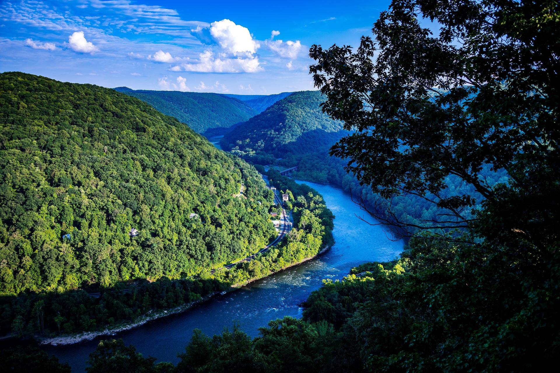
The Best Hikes in West Virginia
Thirty West Virginia hikes, from 400-foot overlook walks to the Dolly Sods traverse, ordered by effort rather than by fame.
11 min read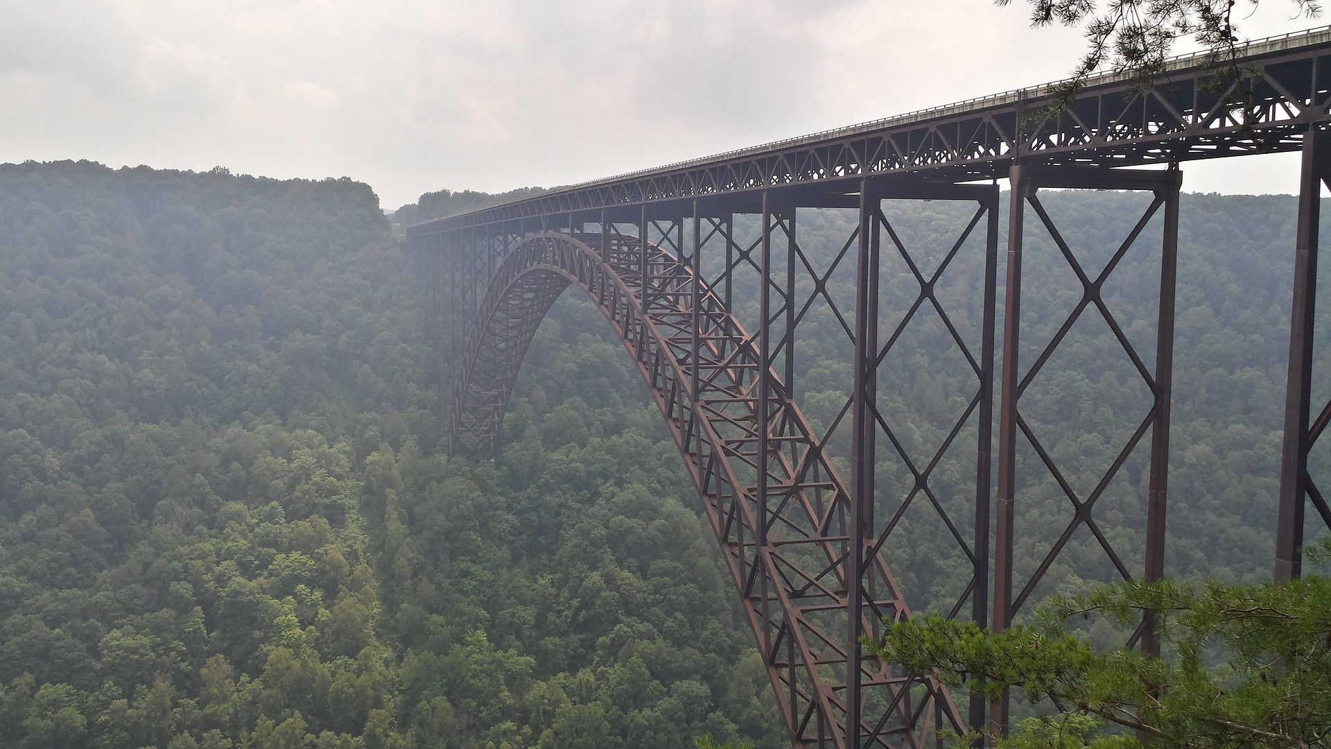 Destination · New River Gorge
Things to Do in New River Gorge National Park
A complete guide to New River Gorge National Park: the best hikes, whitewater, climbing and overlooks, plus where to base yourself and when to come.
12 min read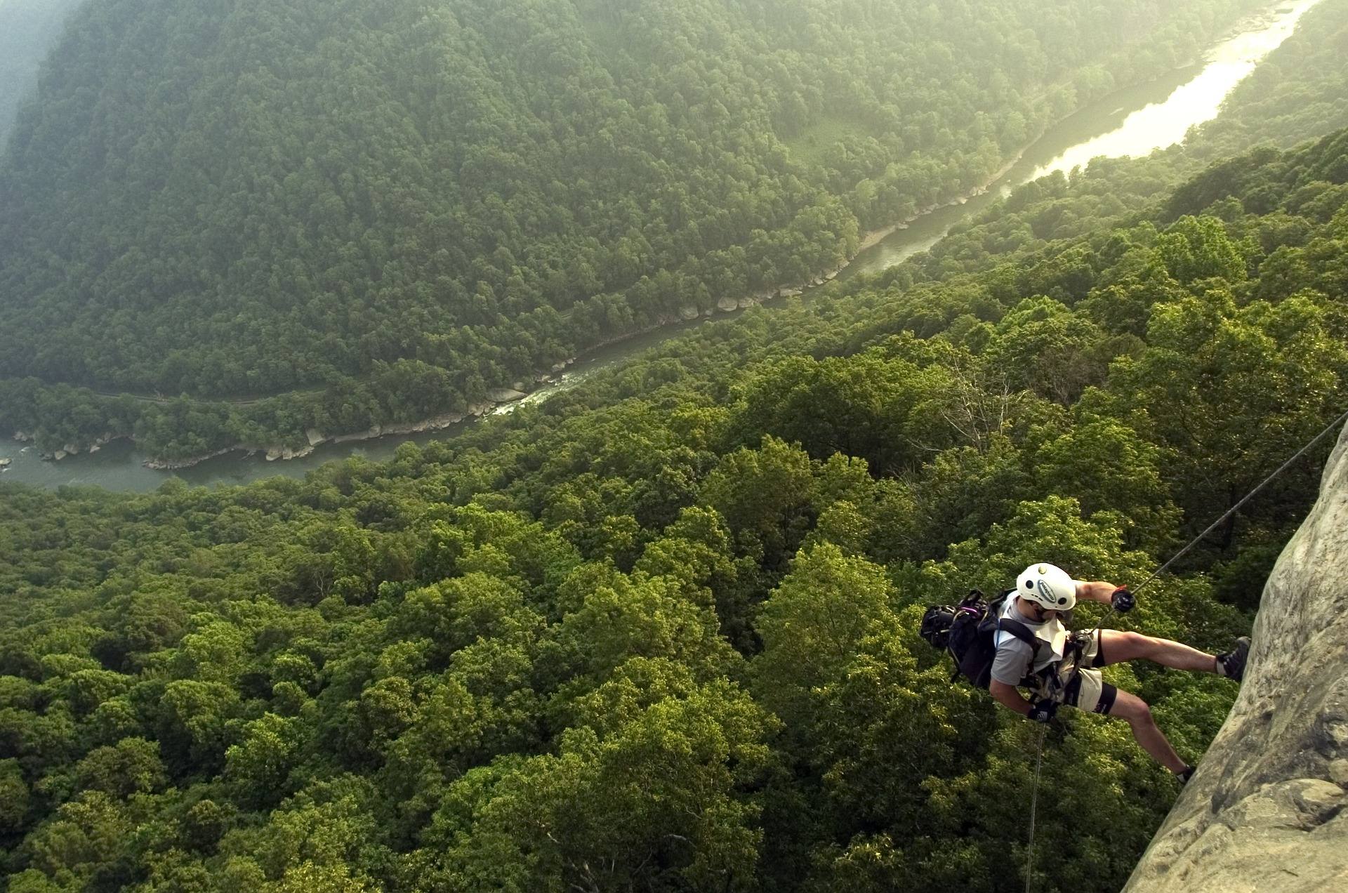 Best of · New River Gorge
The Best Hikes in New River Gorge National Park
Fifteen New River Gorge hikes ranked by what you get for the effort, with NPS distances, parking notes, and the one classic trail that is closed until 2027.
10 min read Best of
West Virginia Overlooks, Sorted by How Far You Walk
Every notable West Virginia overlook sorted by effort: drive-up terraces, 400-foot walks and full-day climbs, with gate hours and current closures.
9 min read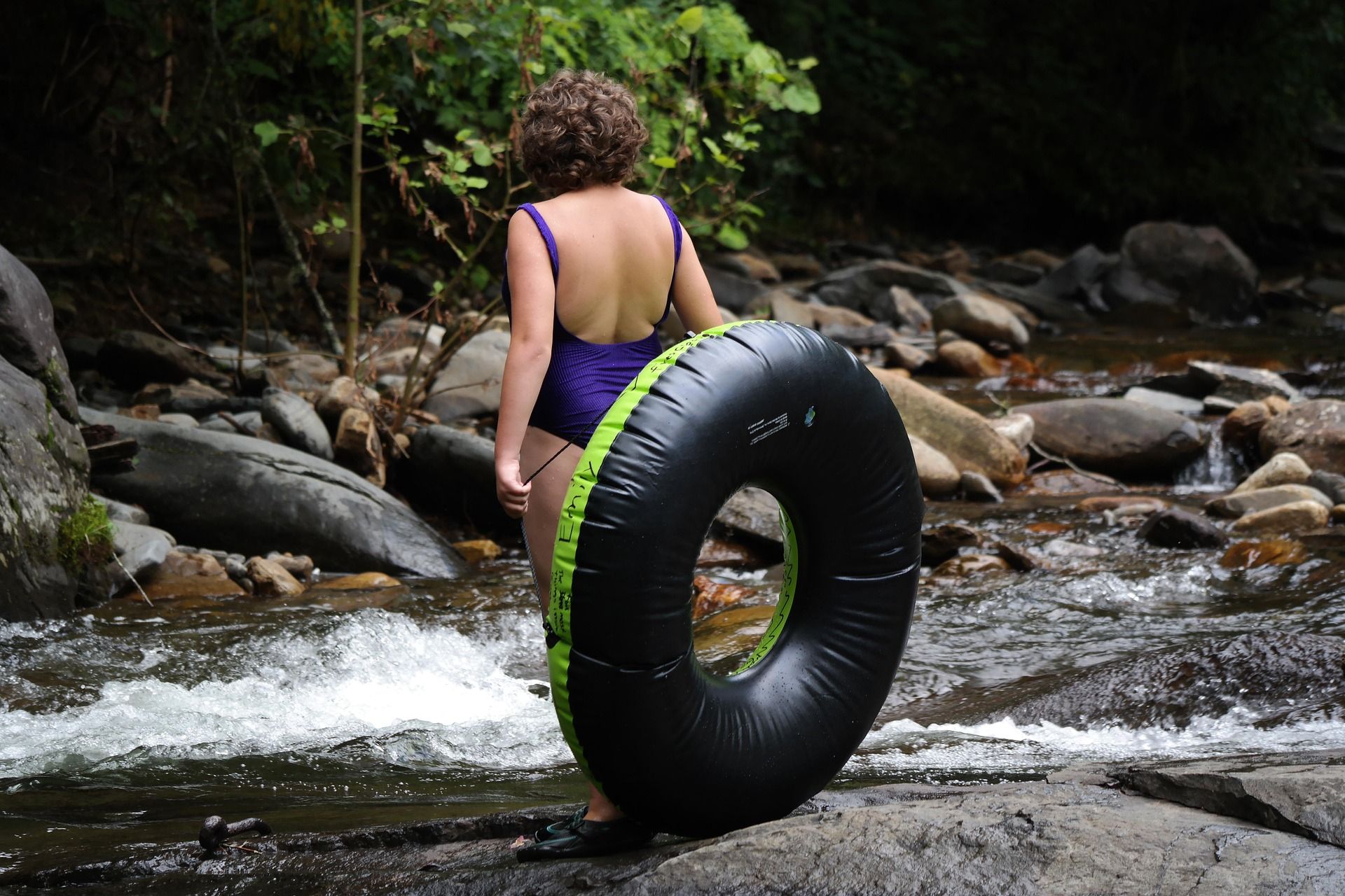 Best of
River Tubing in West Virginia
Where to go river tubing in West Virginia: the Greenbrier, Cacapon, Shenandoah and Cheat, with float lengths, outfitters, season and reaches to avoid.
9 min read · July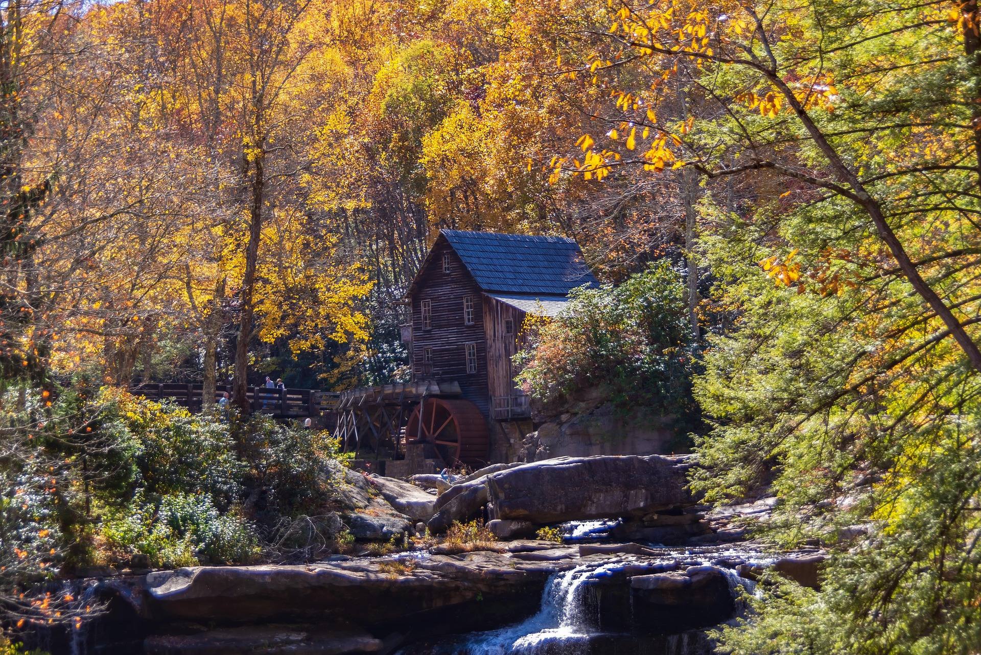 Best of
The Best Waterfalls in West Virginia
West Virginia's best waterfalls, from Blackwater Falls and Sandstone Falls to the Falls of Hills Creek, with access notes and the right season for full flow.
8 min read · April Destination · Potomac Highlands
Hiking Dolly Sods
A practical guide to hiking Dolly Sods Wilderness: the main trails, route options, why it is navigationally serious, and how to reach Bear Rocks.
9 min read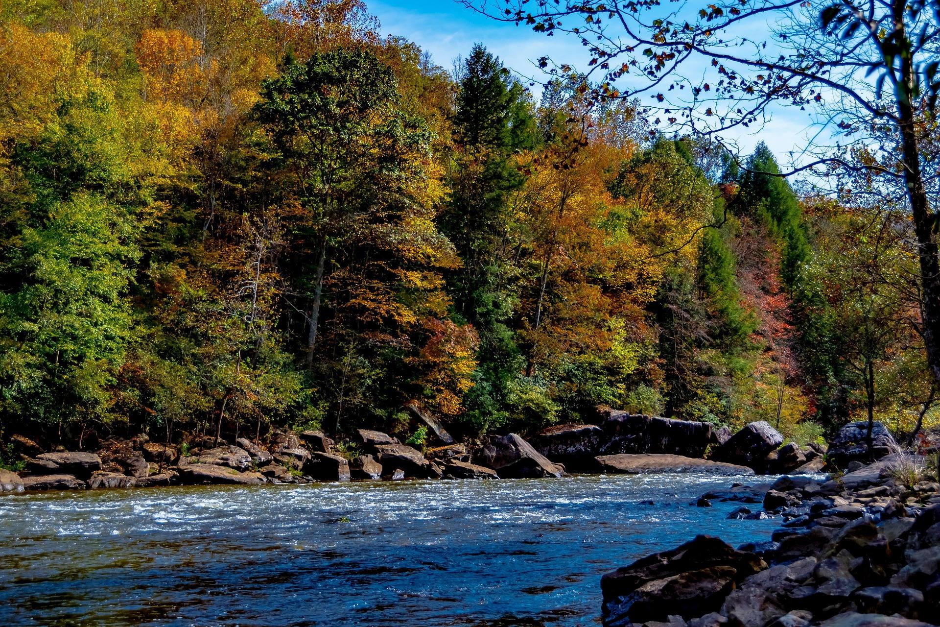 Guide · New River Gorge
Gauley Season: A Complete Guide
Everything to know about Gauley Season in West Virginia: how the dam releases work, Upper versus Lower Gauley, minimum ages, when to book and what to expect.
8 min read · September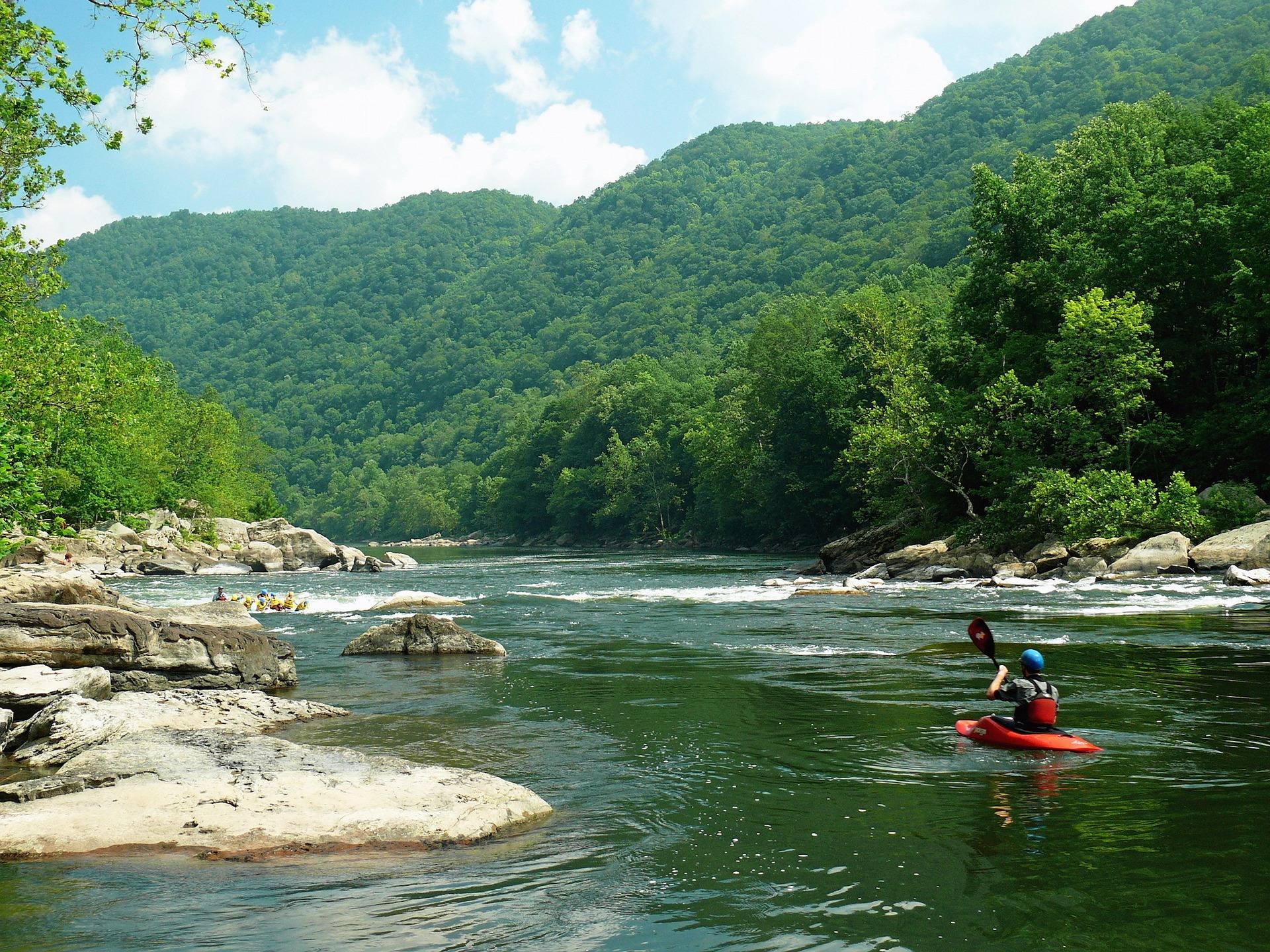 Destination · New River Gorge
Things to Do in Fayetteville, West Virginia
A local guide to Fayetteville, West Virginia: the best hikes and overlooks nearby, rafting and climbing outfitters, and why it is the best gorge base.
8 min read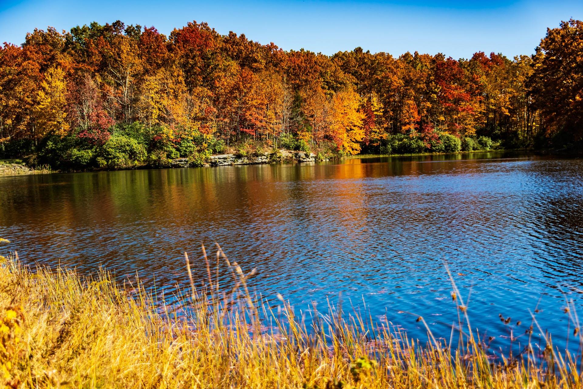 Destination · Potomac Highlands
Things to Do in Davis and Thomas, West Virginia
A guide to Davis and Thomas, West Virginia: Blackwater Falls, Dolly Sods access, Canaan Valley skiing and two of the best small towns in Appalachia.
8 min read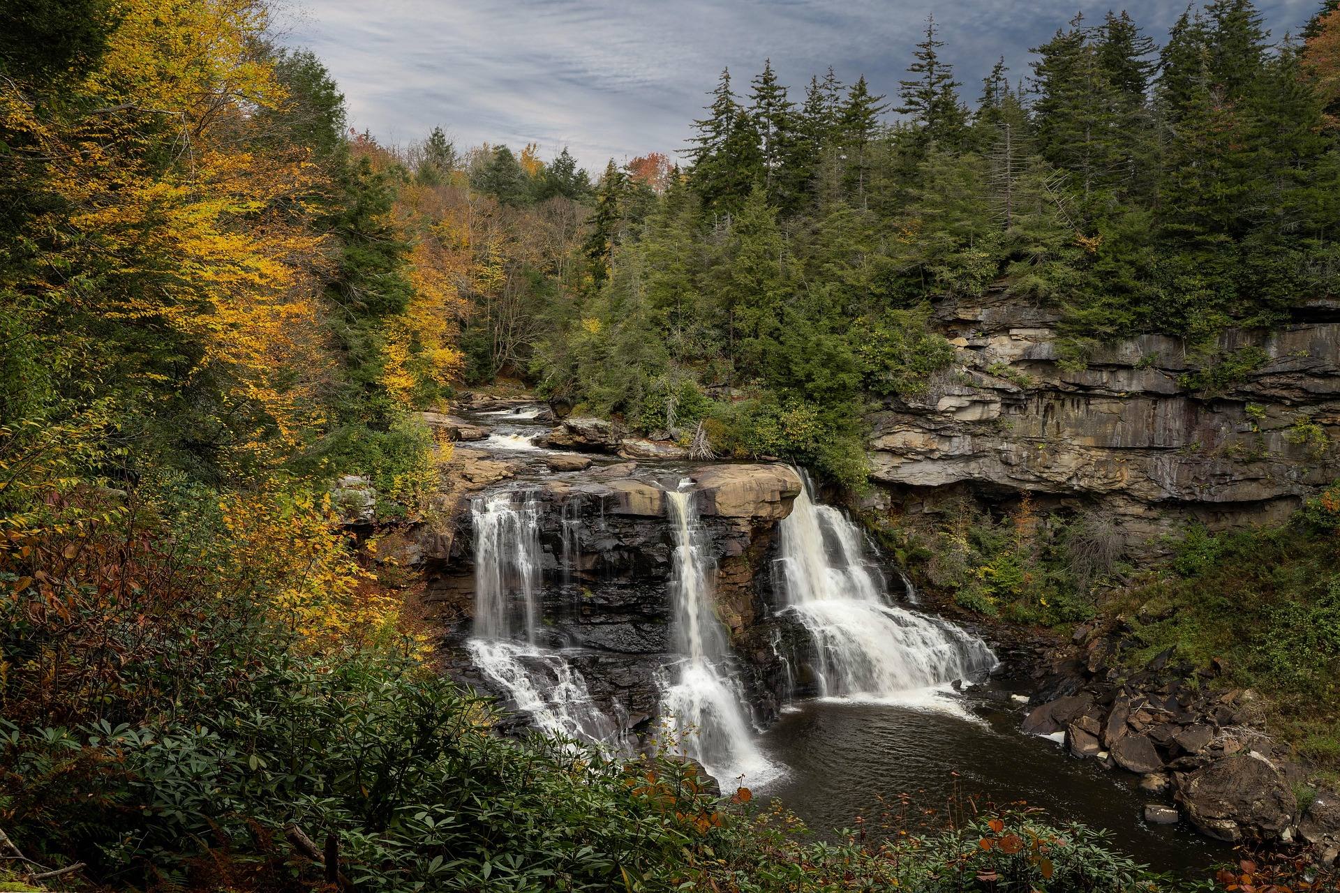 Destination · Potomac Highlands
Blackwater Falls State Park
A complete guide to Blackwater Falls State Park: every waterfall and overlook, Lindy Point at sunset, the trails, lodging and the best season to visit.
8 min read · October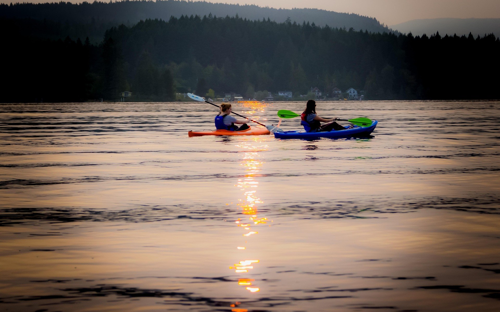 Best of
The Best Fishing Spots in West Virginia
Where to fish in West Virginia: trophy trout tailwaters, native brook trout streams, smallmouth rivers, muskie water and how stocking works.
10 min read · April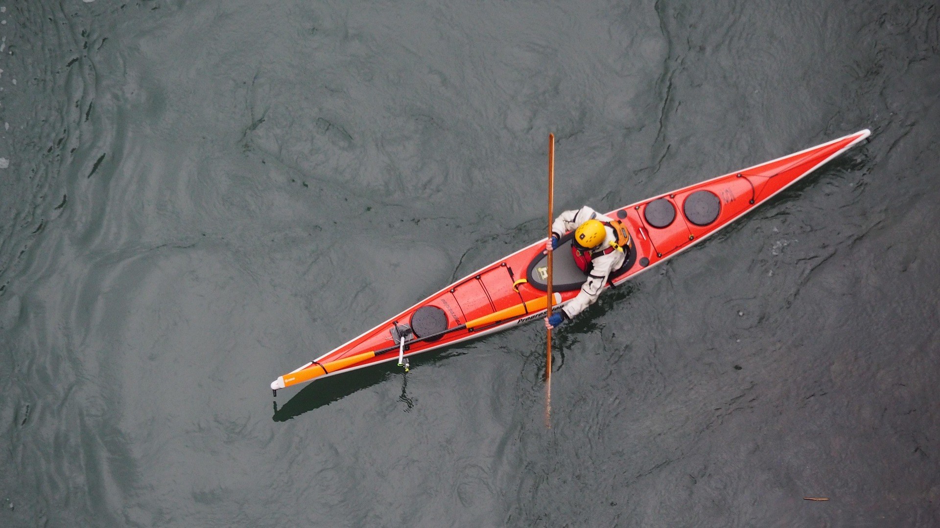 Best of
The Best Trout Streams in West Virginia
West Virginia's best trout water: the Elk River tailwater, wild brook trout headwaters, catch-and-release stretches and the spring stocking calendar.
8 min read · April Guide
Guide
West Virginia Fall Foliage Guide
Where and when to see fall foliage in West Virginia: how color moves down in elevation, the best overlooks and drives, and why peak dates shift.
9 min read · October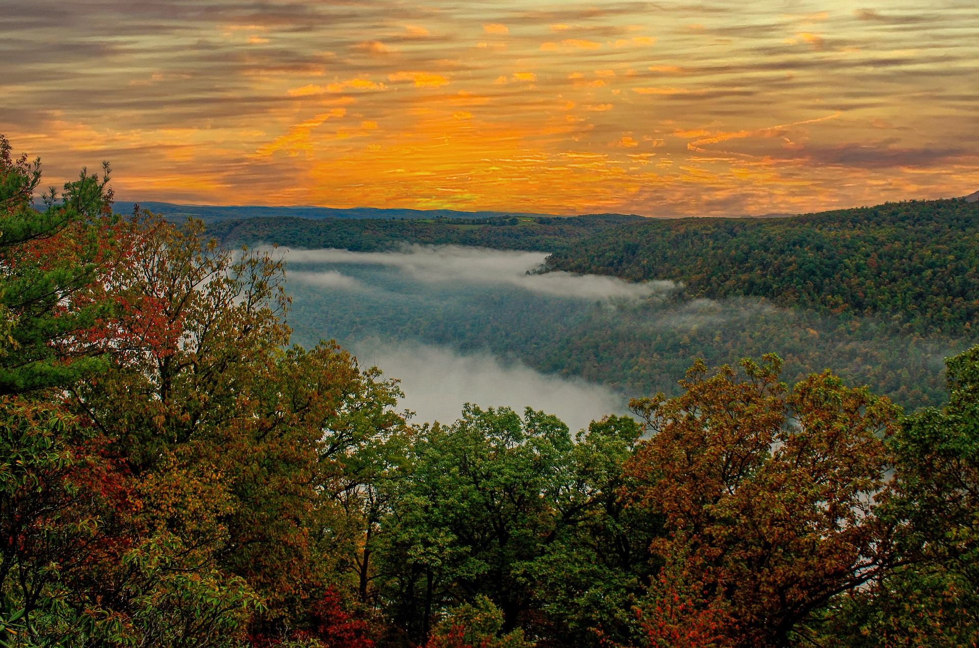 Best of · Eastern Panhandle
The Best Hikes at Harpers Ferry
Every Harpers Ferry hike with official NPS distances and elevation gain: Maryland Heights, Loudoun Heights, Jefferson Rock, plus current closures.
8 min read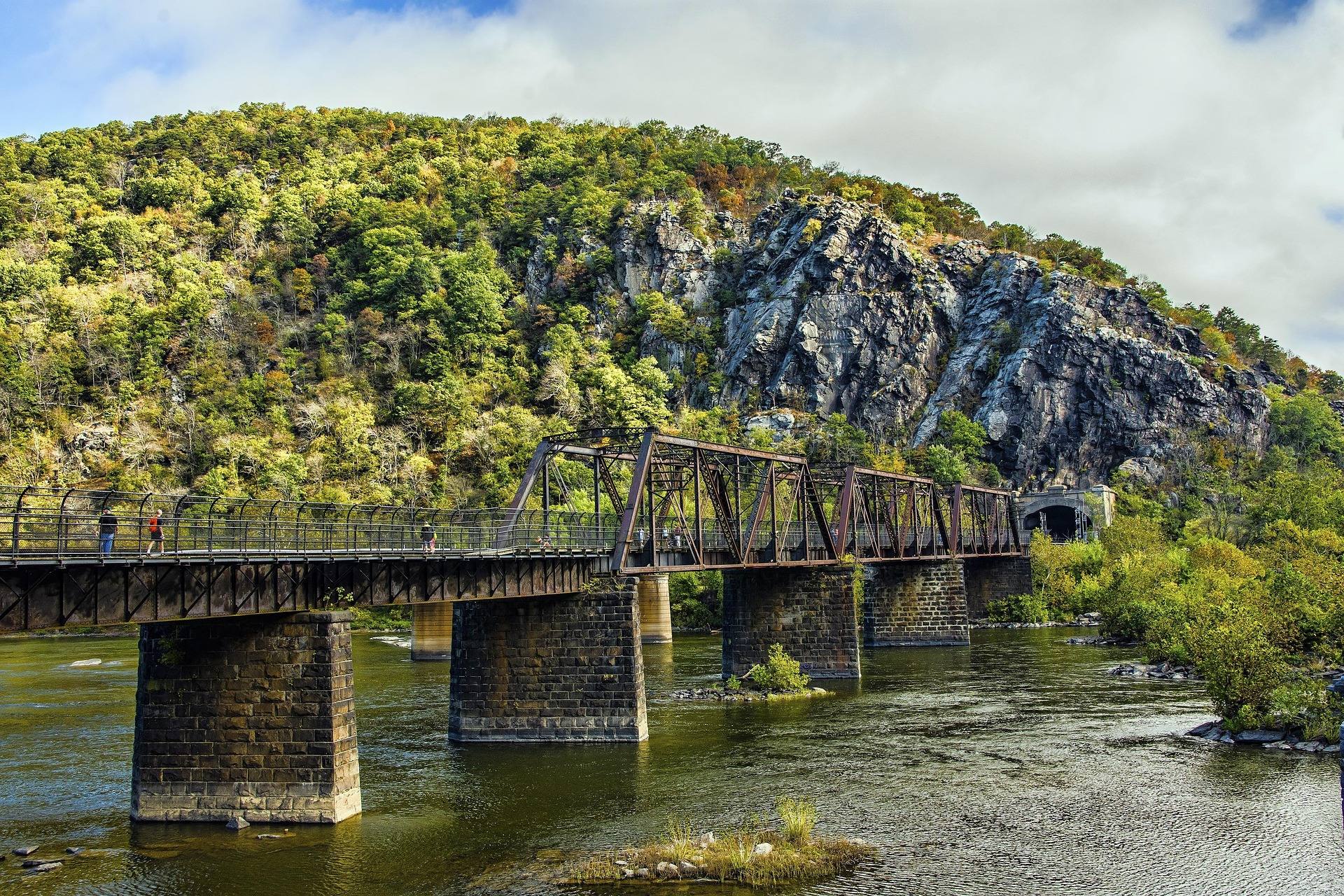 Destination · Eastern Panhandle
Things to Do in Harpers Ferry
A guide to Harpers Ferry, West Virginia: the historic Lower Town, the best hikes and overlooks, tubing and rafting, the Appalachian Trail and where to start.
8 min read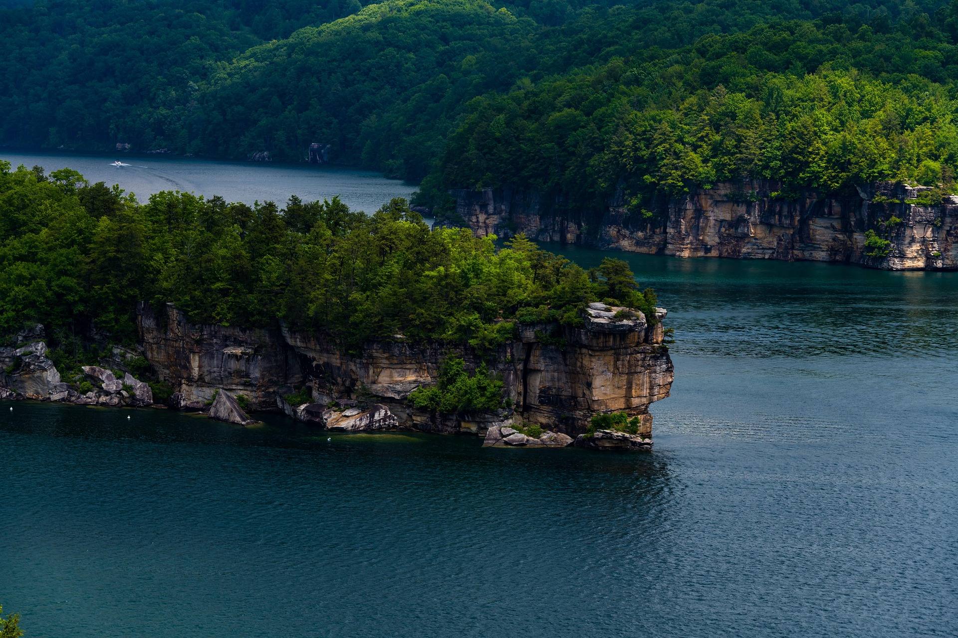 Destination · New River Gorge
Summersville Lake
A guide to Summersville Lake: the clearest water in West Virginia, cliff jumping, scuba, deep-water soloing, boating and the Gauley connection.
7 min read · July Best of · Potomac Highlands
Skiing and Snowboarding in West Virginia
West Virginia ski resorts compared: Snowshoe, Timberline, Canaan Valley and White Grass, plus Nordic skiing, snow tubing and the snowiest corner of the state.
8 min read · February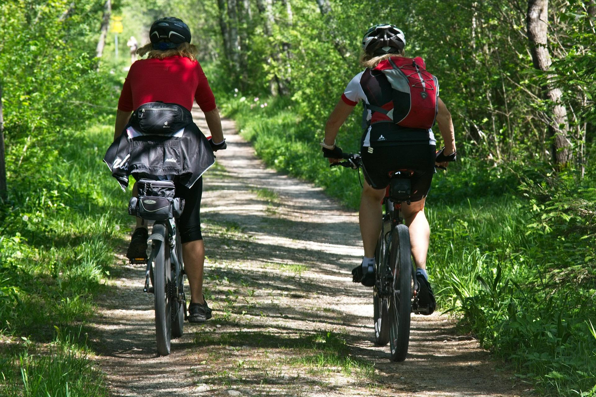 Best of
The Best Mountain Biking in West Virginia
Where to mountain bike in West Virginia: the Arrowhead trails, Canaan and Snowshoe, Hatfield-McCoy, plus rail-trails and gravel in the highlands.
8 min read · June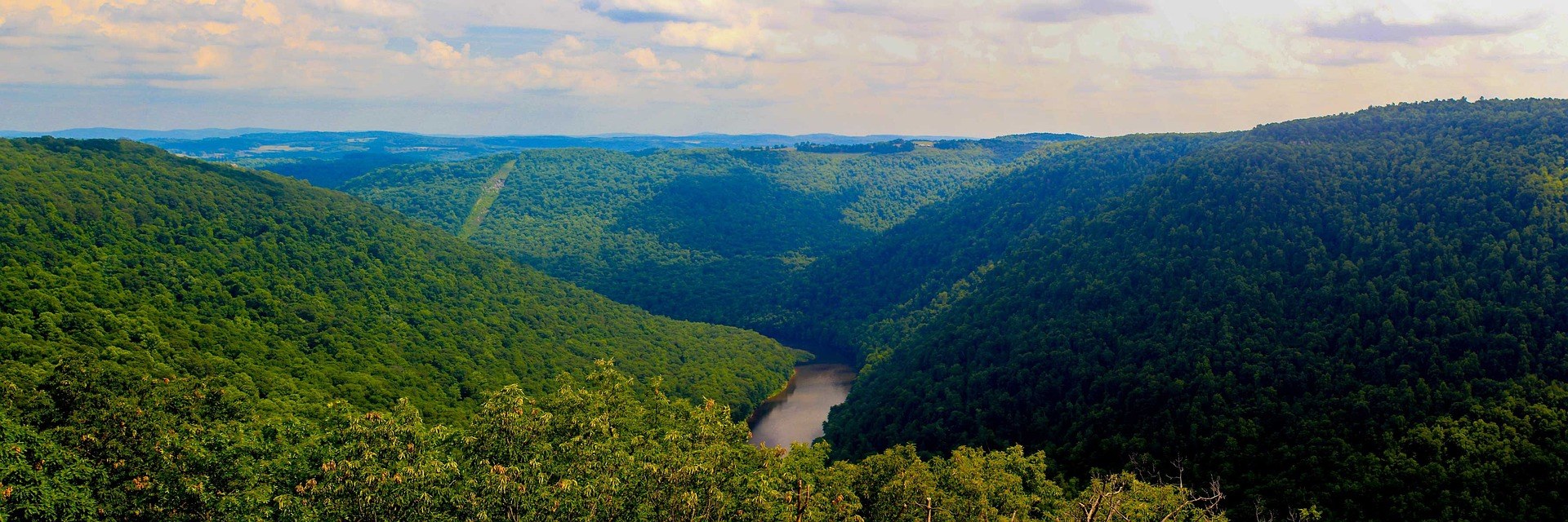 Hidden finds
Hidden Gems in West Virginia
Twenty West Virginia places worth the detour that almost nobody visits: quiet state parks, unpublicised overlooks and the strangest short walk in the state.
9 min read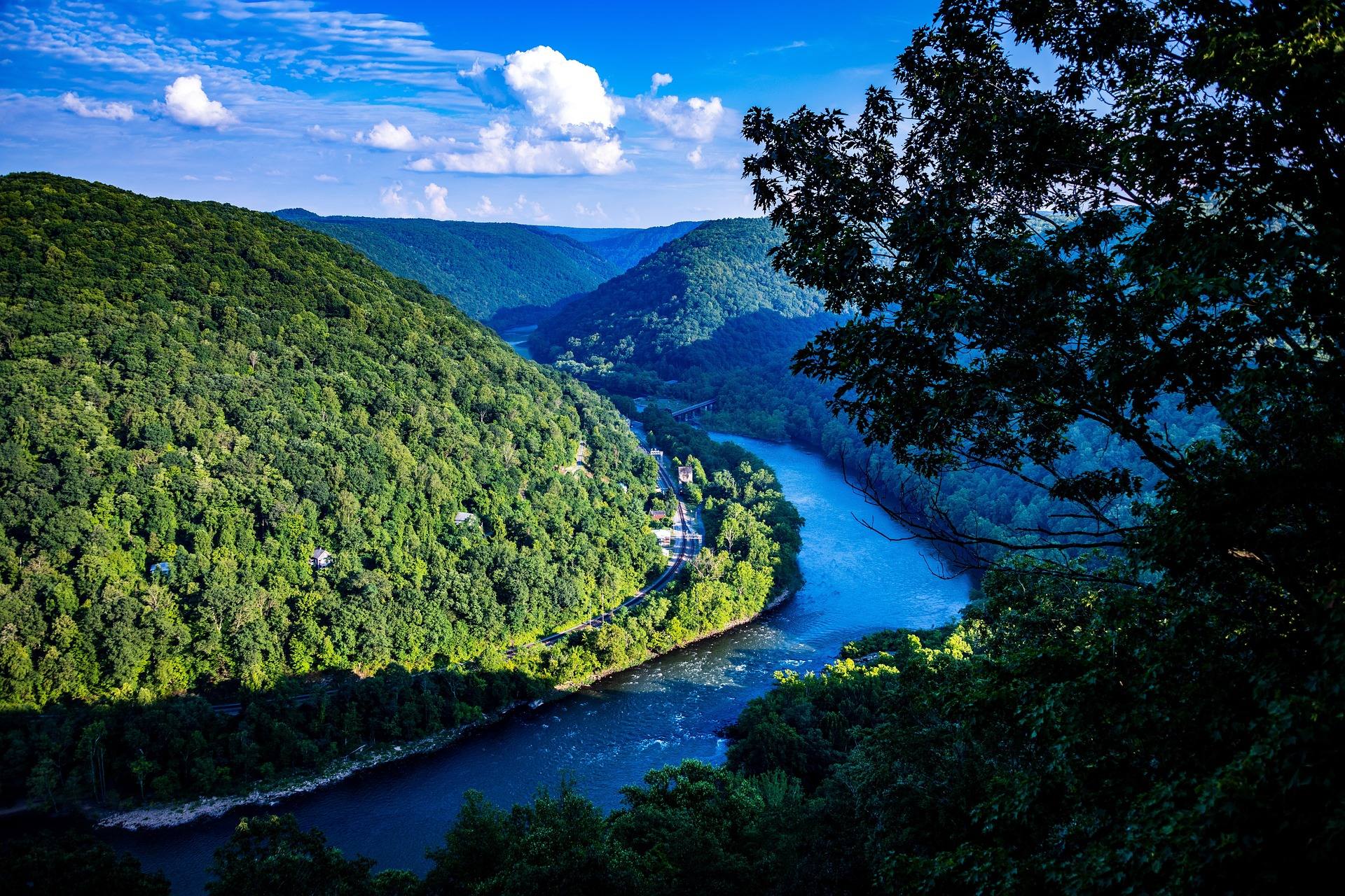 Itinerary · New River Gorge
A Perfect Weekend in the New River Gorge
A two-day New River Gorge itinerary that works: which hikes, which rafting section, where to eat and where to be at sunset, with drive times.
7 min read Itinerary · Potomac Highlands
Three Days in the Potomac Highlands
A three-day Potomac Highlands itinerary: Blackwater Falls, Dolly Sods, Seneca Rocks and Spruce Knob, with realistic driving and the forest roads to respect.
8 min read Destination · Greenbrier Valley
The Greenbrier River Trail
A guide to the Greenbrier River Trail: trailheads, camping, bikepacking it end to end, tubing alongside it, and the best sections for a day out.
8 min read Destination · Southern Coalfields
The Hatfield-McCoy Trails
A guide to the Hatfield-McCoy Trails: the individual trail systems, permits, difficulty, ATV-friendly towns and how the network is organised.
8 min read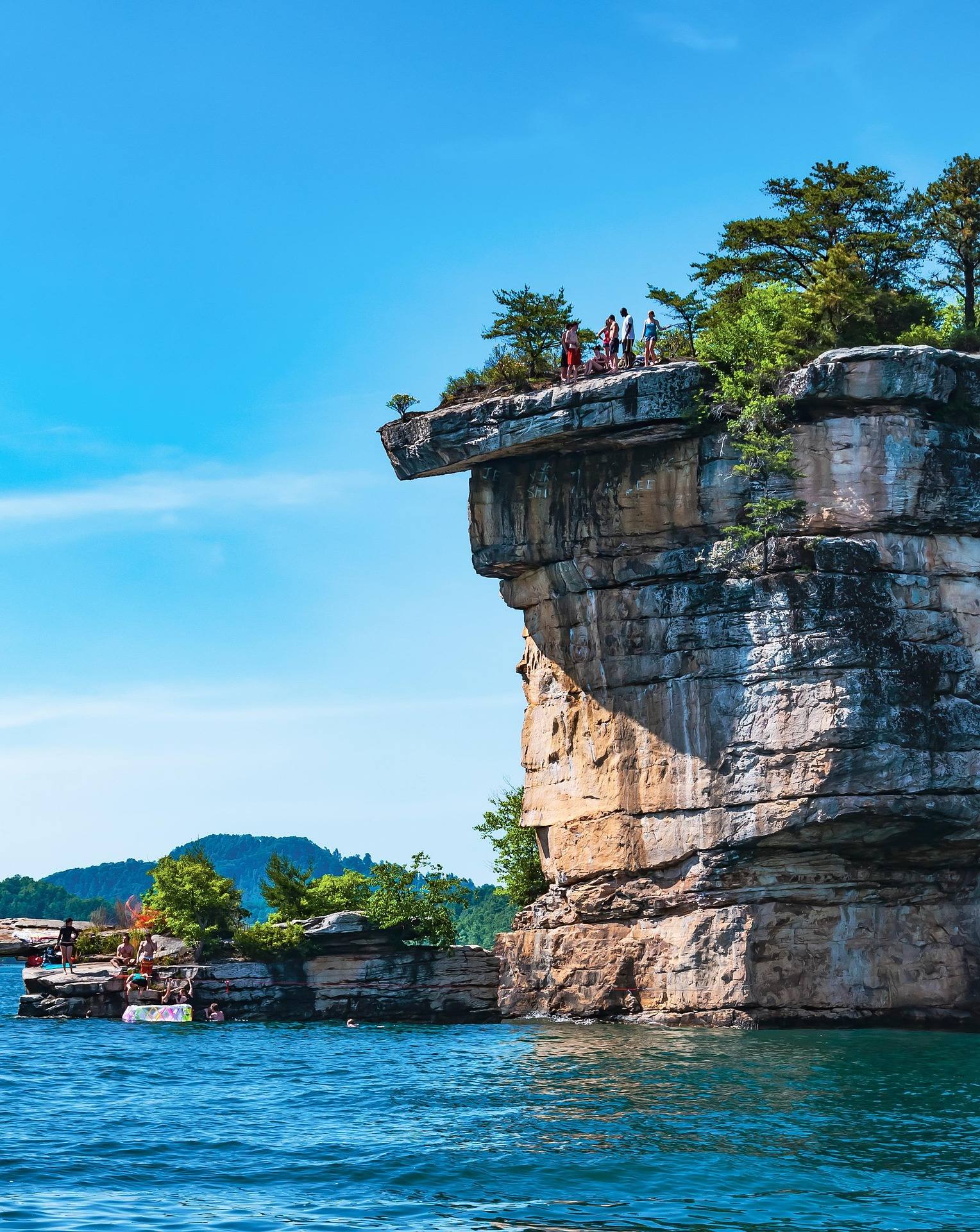 Best of
The Best Swimming Holes in West Virginia
West Virginia swimming holes and lake beaches, from Summersville Lake to CCC-built Blue Bend, with notes on the cliff-jumping risks.
7 min read · July
Best of · Eastern Panhandle
The Best Hiking Trails in Berkeley Springs
Trail by trail on Cacapon Mountain and Sleepy Creek Mountain: the four mileages the state park publishes, the drive-up views, and what nobody publishes.
8 min read · October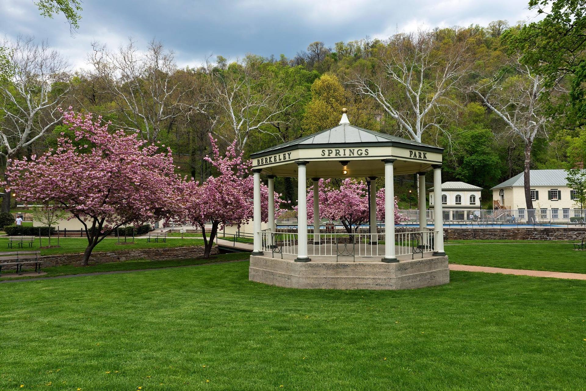 Destination · Eastern Panhandle
Things to Do Outdoors in Berkeley Springs
The springs, Cacapon Resort State Park, the Cacapon River and 22,928 acres of Sleepy Creek: what to do outdoors around Berkeley Springs, and what it costs.
7 min read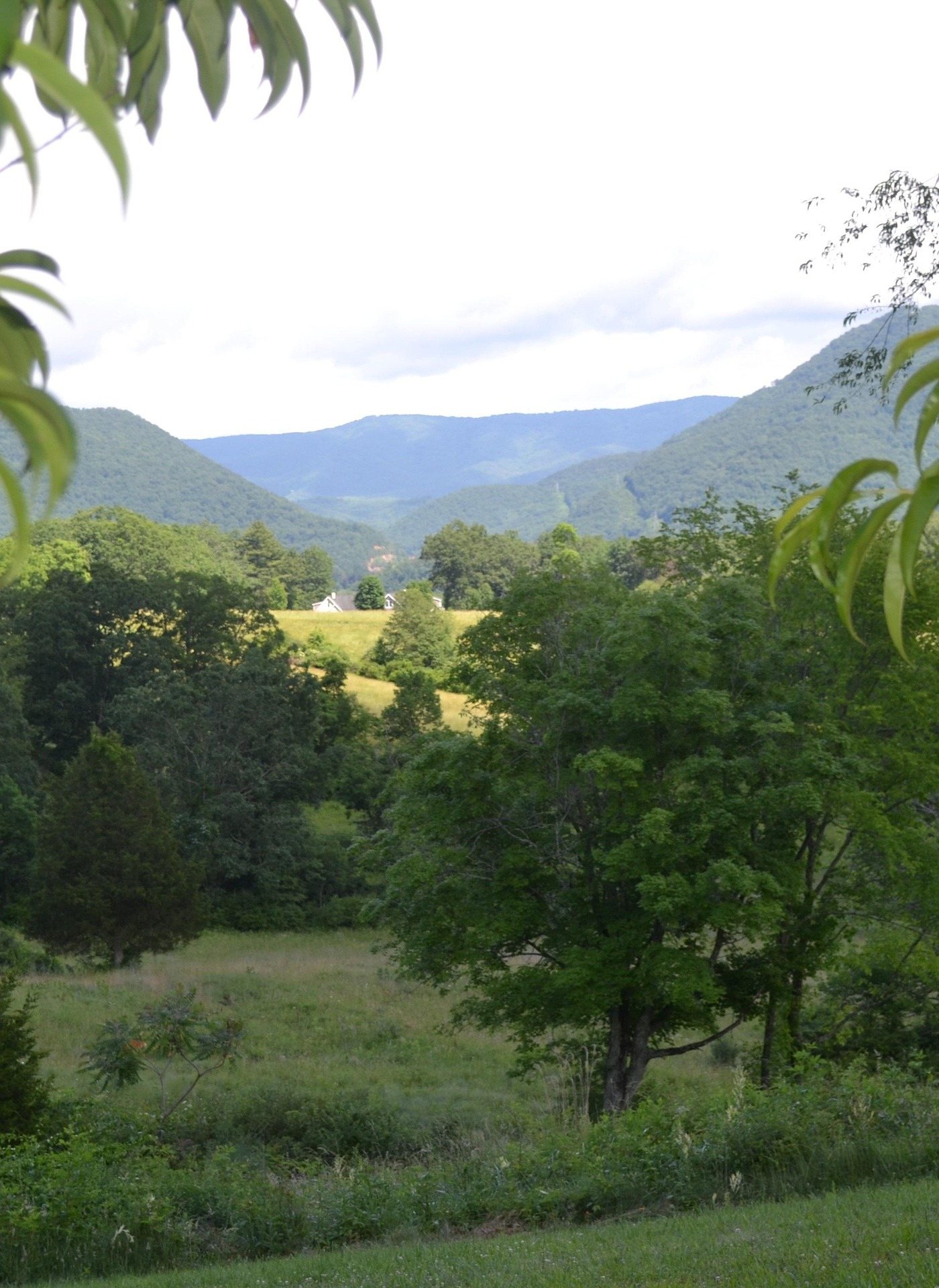 Guide · Eastern Panhandle
Hiking Cacapon Resort State Park
The park's four published trails, the two heights it gives for its own mountain, lake gate hours, and what it never publishes about surfaces or gain.
8 min read · May
Best of · Eastern Panhandle
The Best Hikes in Lost River State Park
Cranny Crow at 3,200 feet by a 2-mile hike or most of the way by car, what the park publishes about its trails, and the river that goes underground.
7 min read · October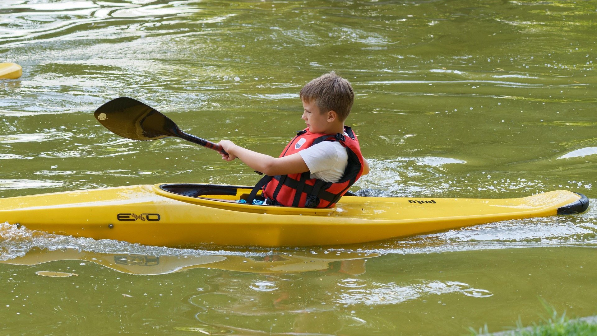 Guide · Eastern Panhandle
Canoeing the Cacapon River
Five named reaches, the Class II Caudy's Castle run, the access points nobody has confirmed as public, and when low water turns the float into a walk.
7 min read · June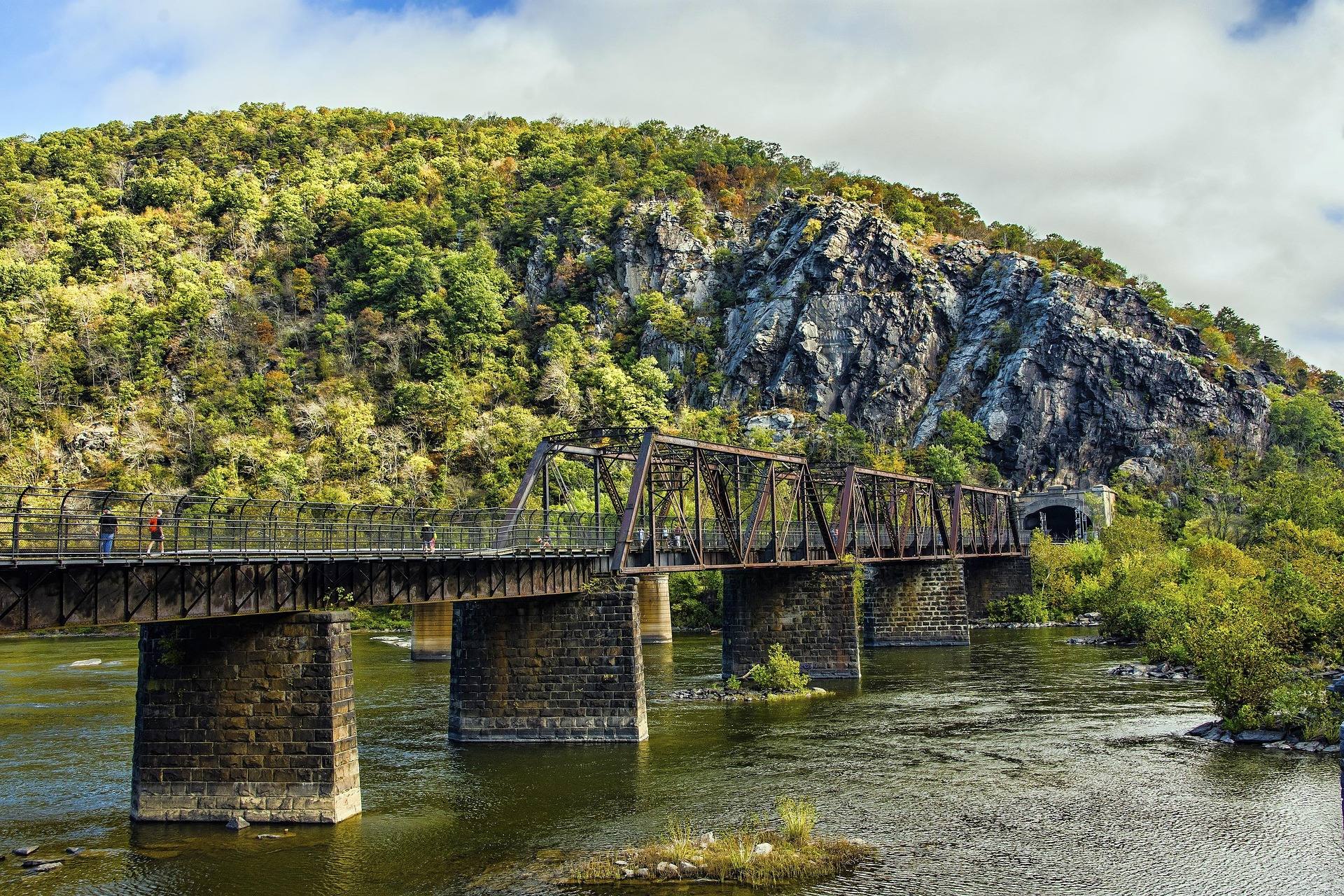 Guide · Eastern Panhandle
Fishing the Cacapon and Lost Rivers
Smallmouth on the Cacapon, stocked trout at Cacapon Resort, brook trout in the only natural lake in the state, and how WVDNR posts its stockings.
7 min read · June
Guide · Eastern Panhandle
Tubing the Shenandoah River in West Virginia
The 2.5-mile Millville Dam float, minimum ages, season pass hours, the Class II+ Potomac alternative, and the parking problem at Harpers Ferry.
7 min read · July Best of · Eastern Panhandle
Camping in the Eastern Panhandle of West Virginia
Two state parks, a George Washington National Forest campground and 22,928 acres of primitive ground, with the booking system and season window for each.
7 min read · September
Guide · Eastern Panhandle
The Appalachian Trail in West Virginia
The state's 24 trail miles, the Conservancy headquarters at Harpers Ferry, the three overlook hikes off the trail and how to walk them in a day.
8 min read · May
Destination · Eastern Panhandle
Trout Pond Recreation Area: A Complete Guide
The only natural lake in West Virginia, Rock Cliff Lake's beach, the campground fees and season windows, and why the ranger district matters here.
7 min read · June
Best of · Potomac Highlands
The Best Hikes in Canaan Valley
Trail by trail on the Canaan Mountain plateau and the valley floor: lengths, surfaces, elevations, and the wet ground the Forest Service warns about.
8 min read · September
Destination · Potomac Highlands
Things to Do in Canaan Valley, West Virginia
A survey of Canaan Valley: three ski operations, a 17,000-acre refuge, Blackwater Falls, and what 3,200 feet of elevation does to every season here.
8 min read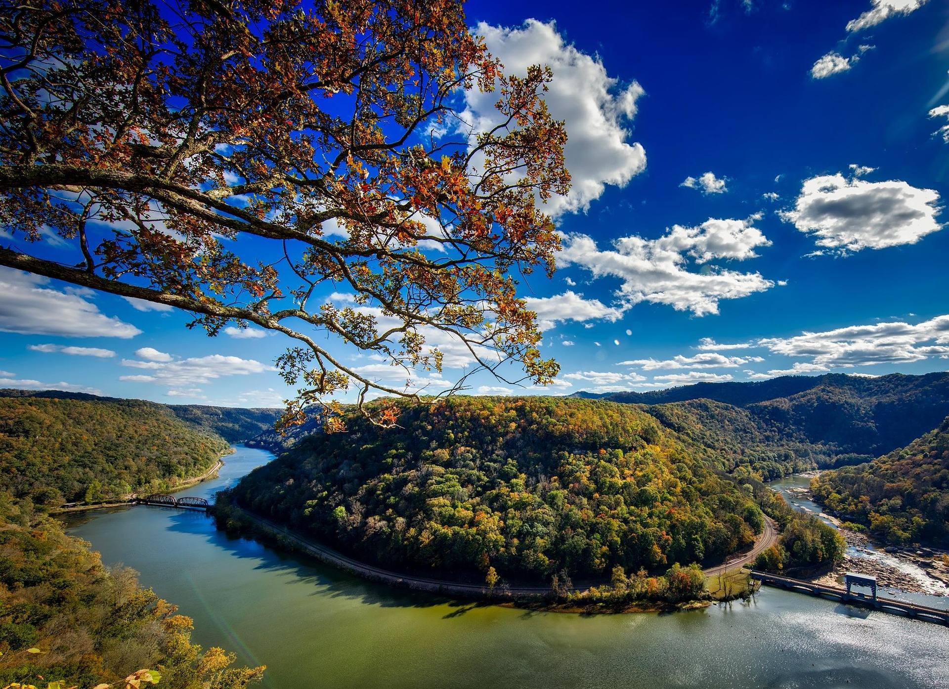 Best of · Potomac Highlands
The Best Hikes Near Seneca Rocks
Trail-by-trail guide to walking around Seneca Rocks: the 1.3-mile rock trail, the 24-mile North Fork ridge, Seneca Creek and Spruce Knob.
7 min read · October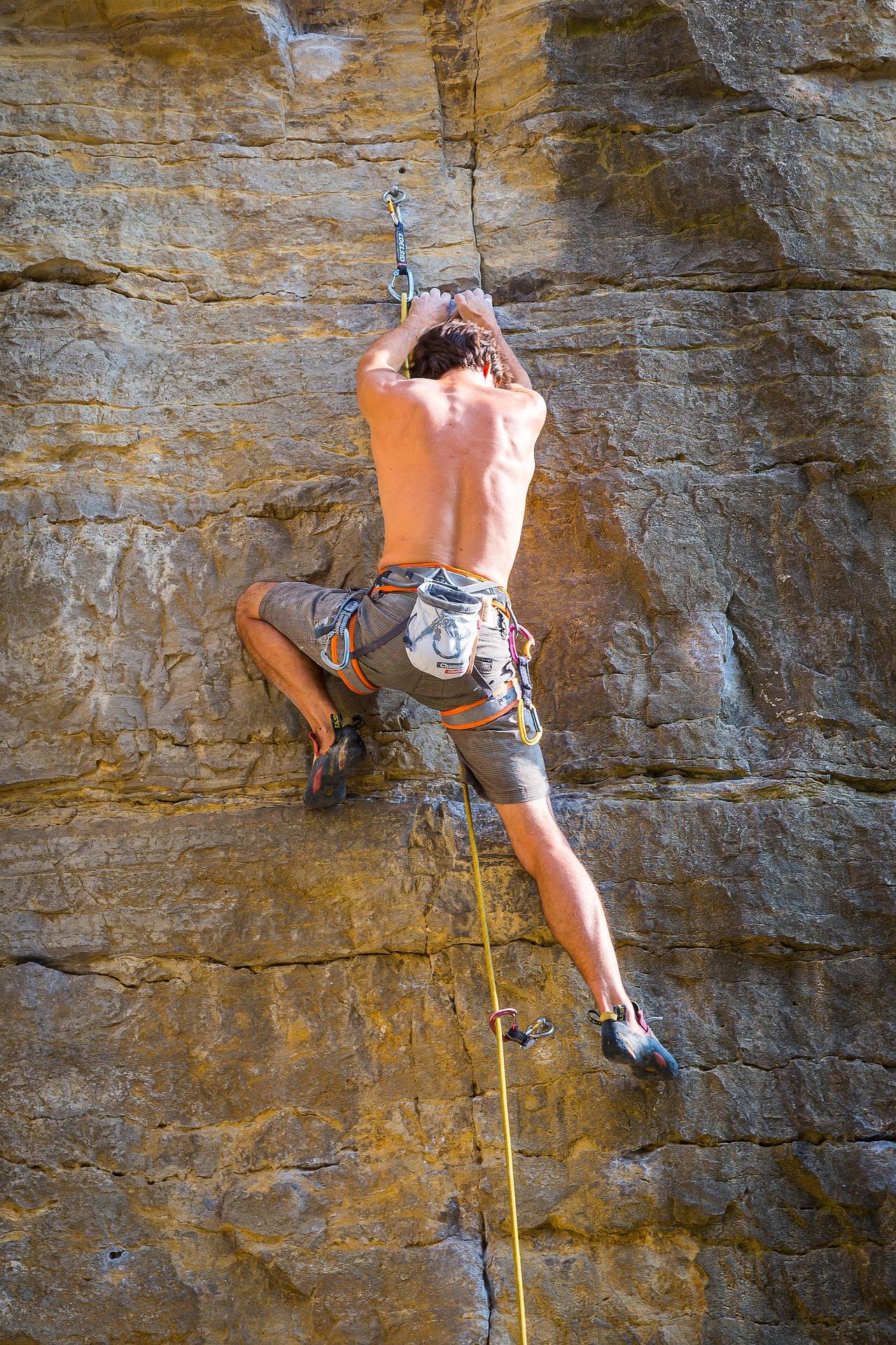 Guide · Potomac Highlands
Climbing Seneca Rocks: A First-Timer's Guide
What a first day on Seneca Rocks involves: 375-plus multi-pitch trad routes, the Apr-Oct season, permitted guides, and the summit you can only climb to.
7 min read · May
Guide · Potomac Highlands
Hiking Spruce Knob, the Highest Point in West Virginia
Walking West Virginia's 4,863-foot high point: the half-mile summit loop, the lake circuit, the ridge trails below, and the weather to plan around.
7 min read · August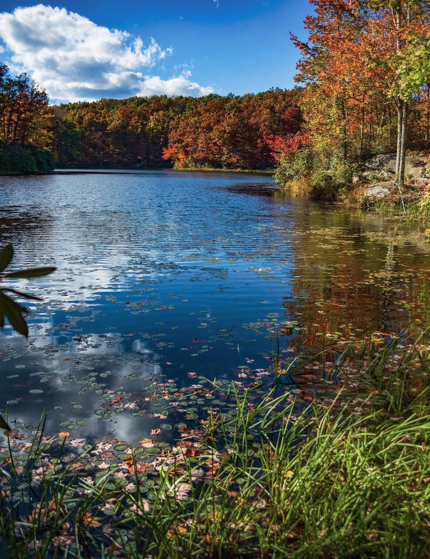 Guide · Potomac Highlands
Backpacking the Seneca Creek Backcountry
Trail mileages, the Forest Road 112 approach, the unbridged creek crossings and where to camp in the Seneca Creek backcountry below Spruce Knob.
8 min read · September
Guide · Potomac Highlands
Hiking the North Fork Mountain Trail
How to plan 24 waterless miles on West Virginia's driest ridge: the Germany Valley outlooks, the water problem, riding it, and when the ridge is too hot.
8 min read · October Guide · Potomac Highlands
Backpacking the Otter Creek Wilderness
20,698 acres, 45 miles of unmarked trail and repeated unbridged crossings: how to plan an Otter Creek trip around the water rather than the mileage.
7 min read · June Destination · Potomac Highlands
Things to Do Outdoors in Elkins, West Virginia
Stuart Recreation Area, Otter Creek, Kumbrabow, Laurel Fork and a two-mile tube float on the Cheat headwaters — what the country around Elkins offers.
7 min read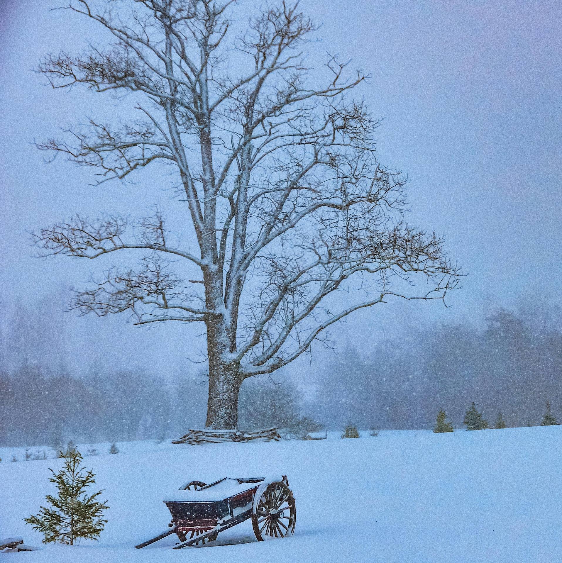 Guide · Potomac Highlands
Cross-Country Skiing at White Grass
How White Grass works: 50-plus kilometers on Cabin Mountain, why the upper trails hold snow, rentals and lessons, and where to ski when it turns thin.
7 min read · February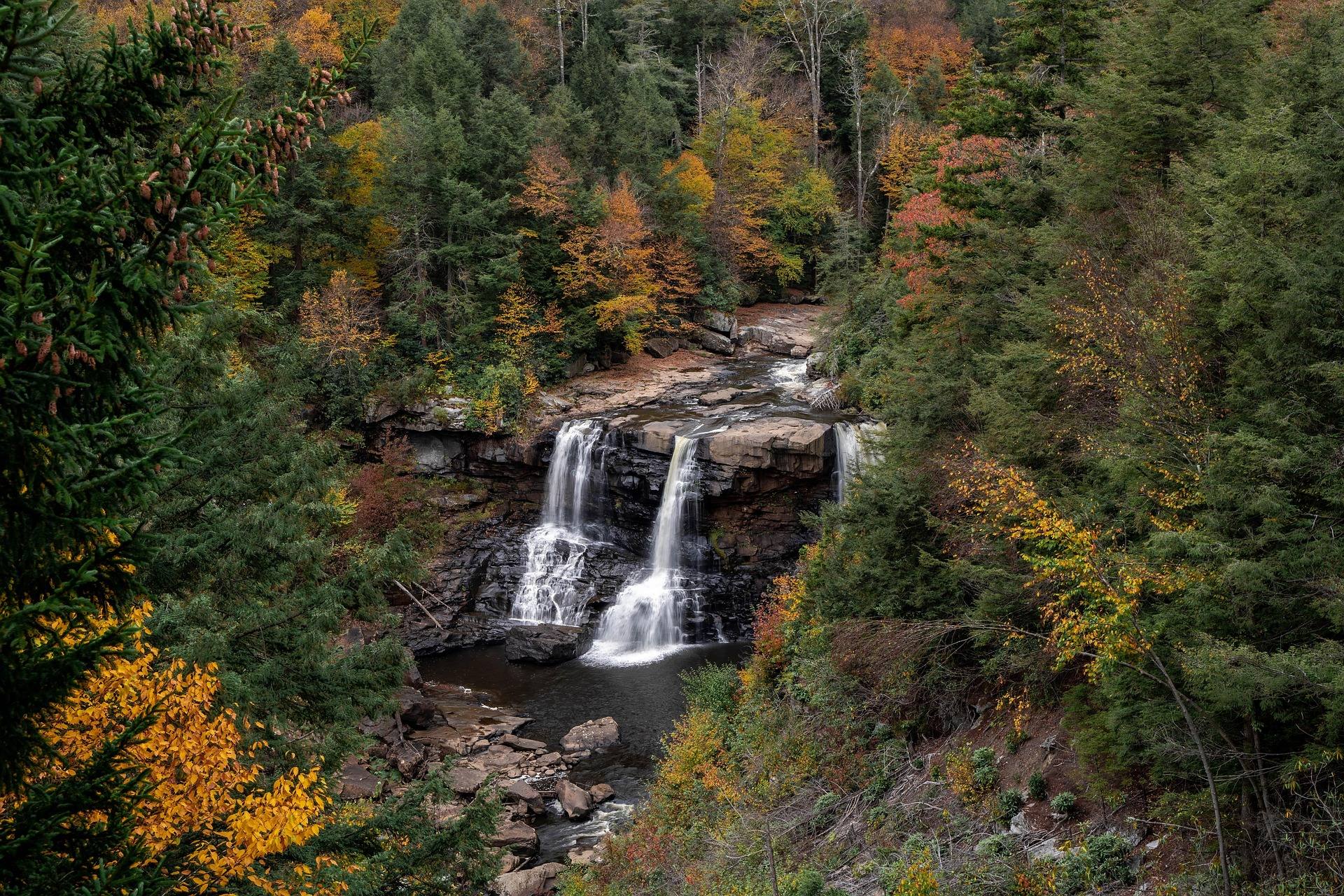 Guide · Potomac Highlands
Hiking and Biking the Blackwater Canyon Trail
Ten miles of railroad grade from Thomas down to Hendricks: which way to ride it, what the gravel demands of your tires, and what to see at the falls end.
8 min read · October
Destination · Potomac Highlands
Smoke Hole Canyon: A Complete Guide
The smallmouth fishing, the two float sections and their landings, camping at Big Bend, and why late-summer water levels decide a Smoke Hole trip.
8 min read · May
Best of · New River Gorge
The Best Hikes in Babcock State Park
Trail by trail through Babcock State Park, with the state park system's own mileages and ratings for Old Sewell, Narrow Gauge, Skyline and Rocky.
7 min read · October
Destination · New River Gorge
Things to Do Outdoors in Beckley, West Virginia
Grandview's rim views, Little Beaver's trail network, river access off WV 41 and the late-May rhododendron — the outdoors within reach of Beckley.
6 min read
Guide · New River Gorge
Hiking at Grandview in the New River Gorge
The rim trail, Turkey Spur's steel stairs and the late-May rhododendron at Grandview, 1,400 feet above the New River's long horseshoe bend.
7 min read · May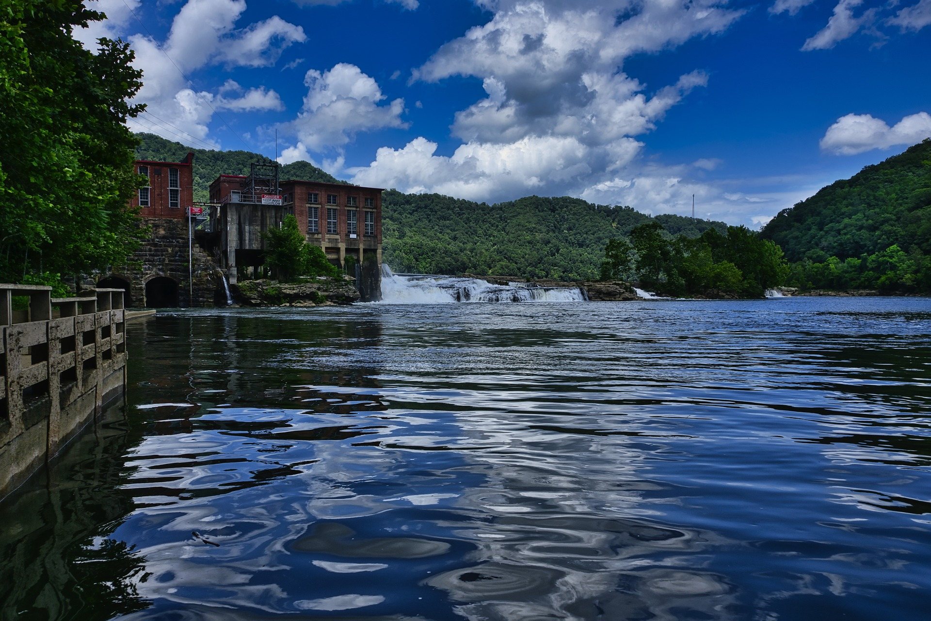 Destination · New River Gorge
Things to Do in Hinton, West Virginia
Hinton sits on flat New River water below Bluestone Dam: Sandstone Falls, park river access, Bluestone Lake camping, and the Turnpike Trail.
8 min read
Destination · New River Gorge
Sandstone Falls: A Complete Guide
A guide to Sandstone Falls: 1,500 feet wide, a 10 to 25 foot drop, a stairless boardwalk across two islands, the rim overlook, and the drowning risk.
8 min read · June
Destination · New River Gorge
Pipestem Resort State Park: Hiking and Camping
Pipestem's trails all descend: River Trail's 5.25 miles, the Canyon Rim's 500-foot drop, and the 8.5-mile through-hike to Bluestone State Park.
8 min read · September
Destination · New River Gorge
Things to Do in Summersville, West Virginia
Boating and swimming on West Virginia's clearest lake, the September drawdown, the Gauley release weekends, Carnifex Ferry and the Meadow River.
8 min read
Guide · New River Gorge
Mountain Biking the Arrowhead Trails
What to expect on the Arrowhead Trails near Fayetteville: 12-plus miles of purpose-built flow singletrack, where to park, and when they close.
7 min read · June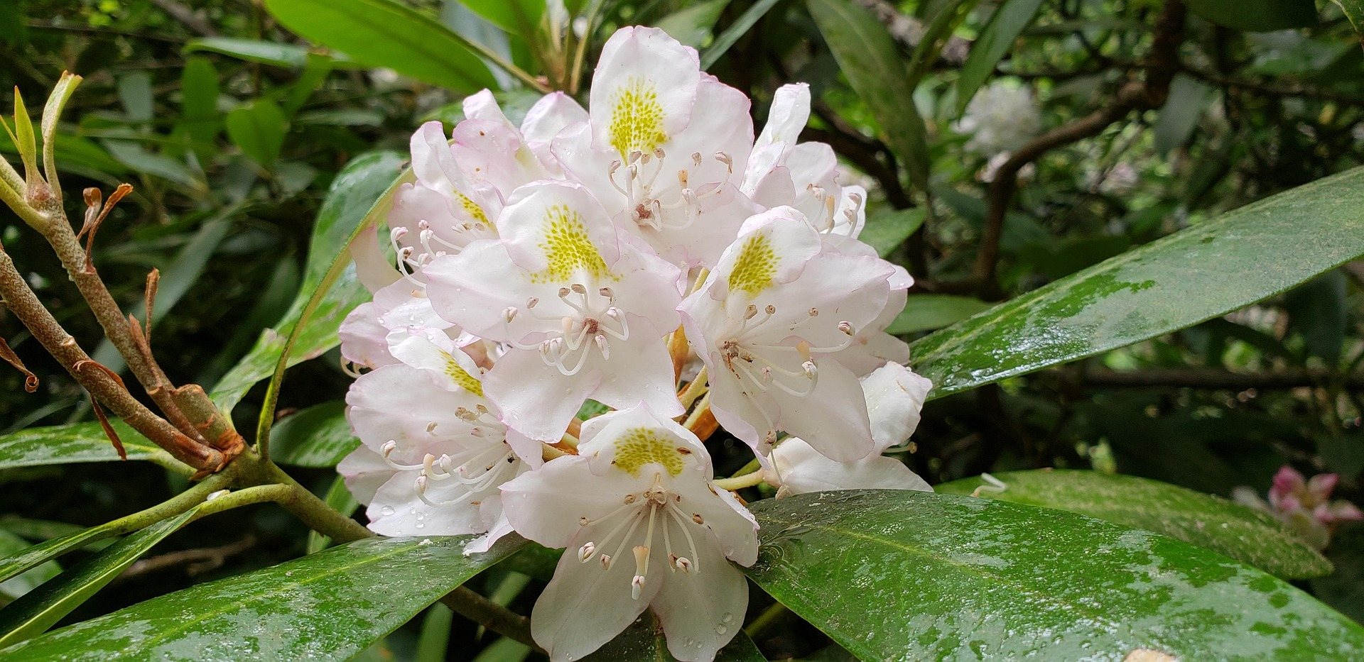 Destination · New River Gorge
Bluestone National Scenic River: A Complete Guide
How to reach West Virginia's least-visited park unit: the trails down from the rim, the 8.5-mile Turnpike Trail, the fishing and the two paddling reaches.
8 min read · May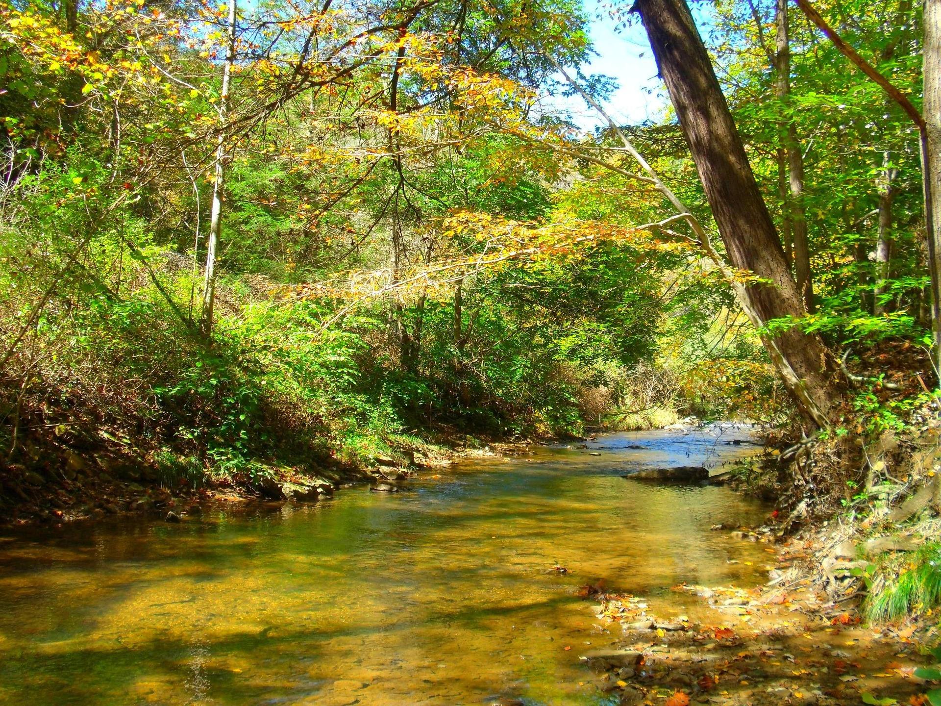 Guide · New River Gorge
Fishing the New River in West Virginia
Smallmouth water reach by reach from Bluestone Dam to Fayette Station: free park access points, shuttle limits, wading cautions and Kanawha Falls.
8 min read · June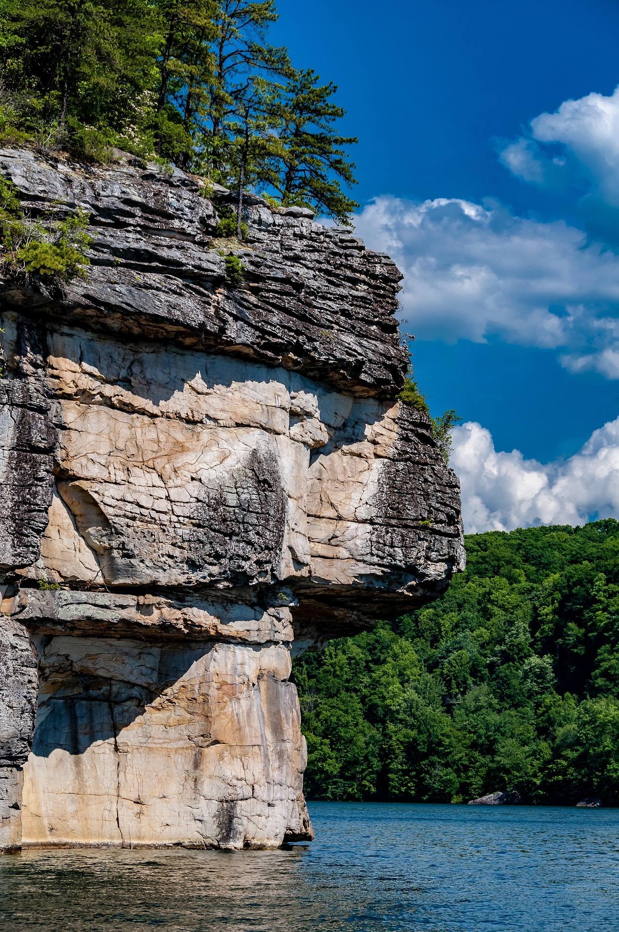 Guide · New River Gorge
Rock Climbing at Summersville Lake
Lakeside sport climbing and deep-water soloing at Summersville Lake: the walls, boat-only access, the autumn drawdown and when the rock is dry.
8 min read · August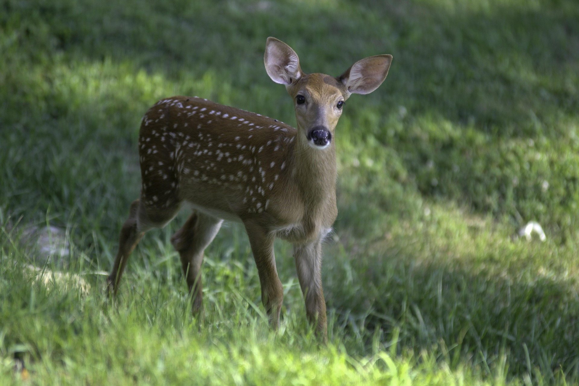 Destination · Greenbrier Valley
Things to Do Outdoors in Lewisburg, West Virginia
A survey of the outdoor options around Lewisburg: the rail-trail at Caldwell, Kate's Mountain, Blue Bend, summer tubing water, and the wet-weather backups.
7 min read
Best of · Greenbrier Valley
The Best Hikes in Watoga State Park
Watoga's trails one by one with the state park's own mileages and difficulty ratings, from the 1-mile Arrowhead climb to 5.5 miles of the Allegheny Trail.
7 min read · October
Destination · Greenbrier Valley
Things to Do in Marlinton, West Virginia
What to do from Marlinton: the rail-trail at mile 56, Tea Creek's 44 miles of trail, Seneca State Forest, smallmouth water, and what closes in winter.
6 min read
Guide · Greenbrier Valley
Caving in the Greenbrier Valley
Lost World Caverns and Organ Cave sell tickets. Friars Hole does not. What each kind of trip requires, and how cave access permission actually works here.
8 min read Guide · Greenbrier Valley
Stargazing at Green Bank and the Radio Quiet Zone
What the National Radio Quiet Zone means for a night under the stars at Green Bank: when to go, why your phone stops working, and where else to set up.
8 min read · August
Destination · Greenbrier Valley
Lake Sherwood Recreation Area: A Complete Guide
Two sand beaches, 104 campsites in four loops and 18 miles of trail on the largest lake in the Monongahela National Forest, with fees and booking rules.
8 min read · July
Guide · Greenbrier Valley
Canoeing and Kayaking the Greenbrier River
The reaches West Virginia State Parks lists on the Greenbrier, where the canoe access actually is, what the river is rated, and how shuttles work.
8 min read · June
Guide · Greenbrier Valley
The Highland Scenic Highway: Driving and Hiking
A 43-mile byway above 4,500 feet: four overlooks, the Cranberry Glades boardwalk, the Falls of Hills Creek, and the trailheads that close all winter.
7 min read · October
Destination · Greenbrier Valley
Cass Scenic Railroad and Bald Knob
Shay steam up the original logging grades to Bald Knob at 4,842 feet: the 4.5-hour run, what to wear, the company houses, and the trail that starts here.
7 min read · September
Best of · Mountaineer Country
The Best Hikes at Coopers Rock State Forest
All six Coopers Rock trails with the state's own mileages and ratings, where each one starts, and which walk replaces the closed overlook.
8 min read · October
Destination · Mountaineer Country
Things to Do Outdoors in Morgantown, West Virginia
A survey of what a Morgantown base actually reaches: 48 miles of rail-trail, a 12,747-acre forest, Cheat Lake, new singletrack and the Cheat itself.
9 min read
Guide · Mountaineer Country
The Mon River Rail-Trail System: A Complete Guide
How three trails make 48 miles of crushed limestone: the Caperton riverfront, the run north to Pennsylvania, and the 19-mile Deckers Creek climb.
8 min read · May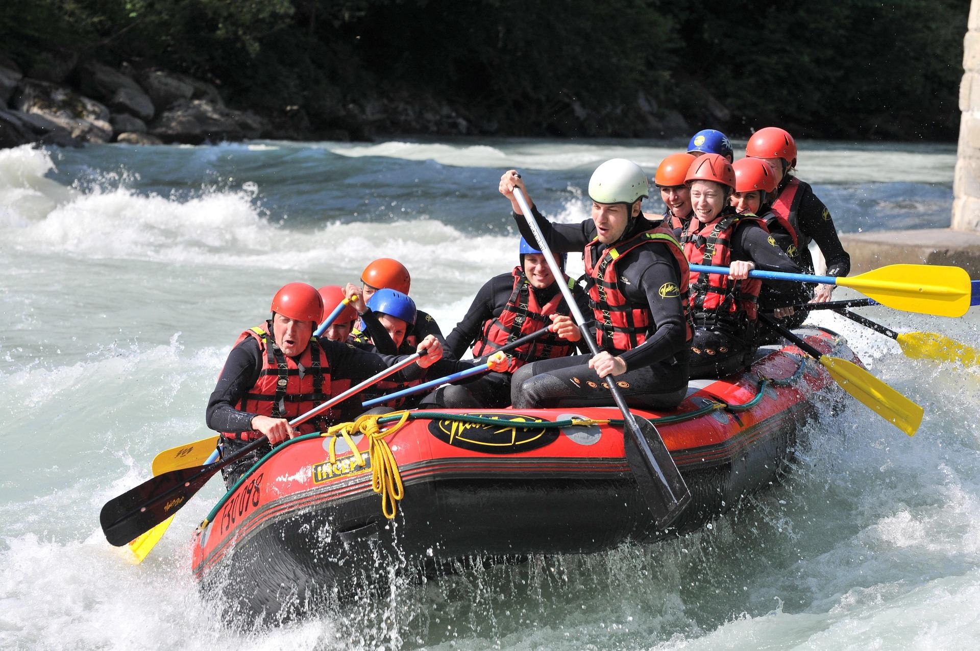 Guide · Mountaineer Country
Rafting the Cheat River Canyon
Where the Cheat Canyon run begins and ends, why its class rating differs by which page you read, when it has water, and what camping costs.
7 min read · April
Guide · Mountaineer Country
Bouldering at Coopers Rock
The sandstone boulder fields above the Cheat Canyon: which areas hold the problems, why the season runs cold, and where to park for each.
6 min read · September Guide · Mountaineer Country
Mountain Biking Big Bear Lake Trail Center
What the riding is like at Preston County's oldest trail center: 50-plus miles of rooty cross-country singletrack, a day-use fee, camping on site.
6 min read · July
Guide · Mountaineer Country
Hiking Valley Falls State Park
What West Virginia State Parks publishes about hiking at Valley Falls, the slick rock above the ledges, and two nearby parks worth the drive.
7 min read · April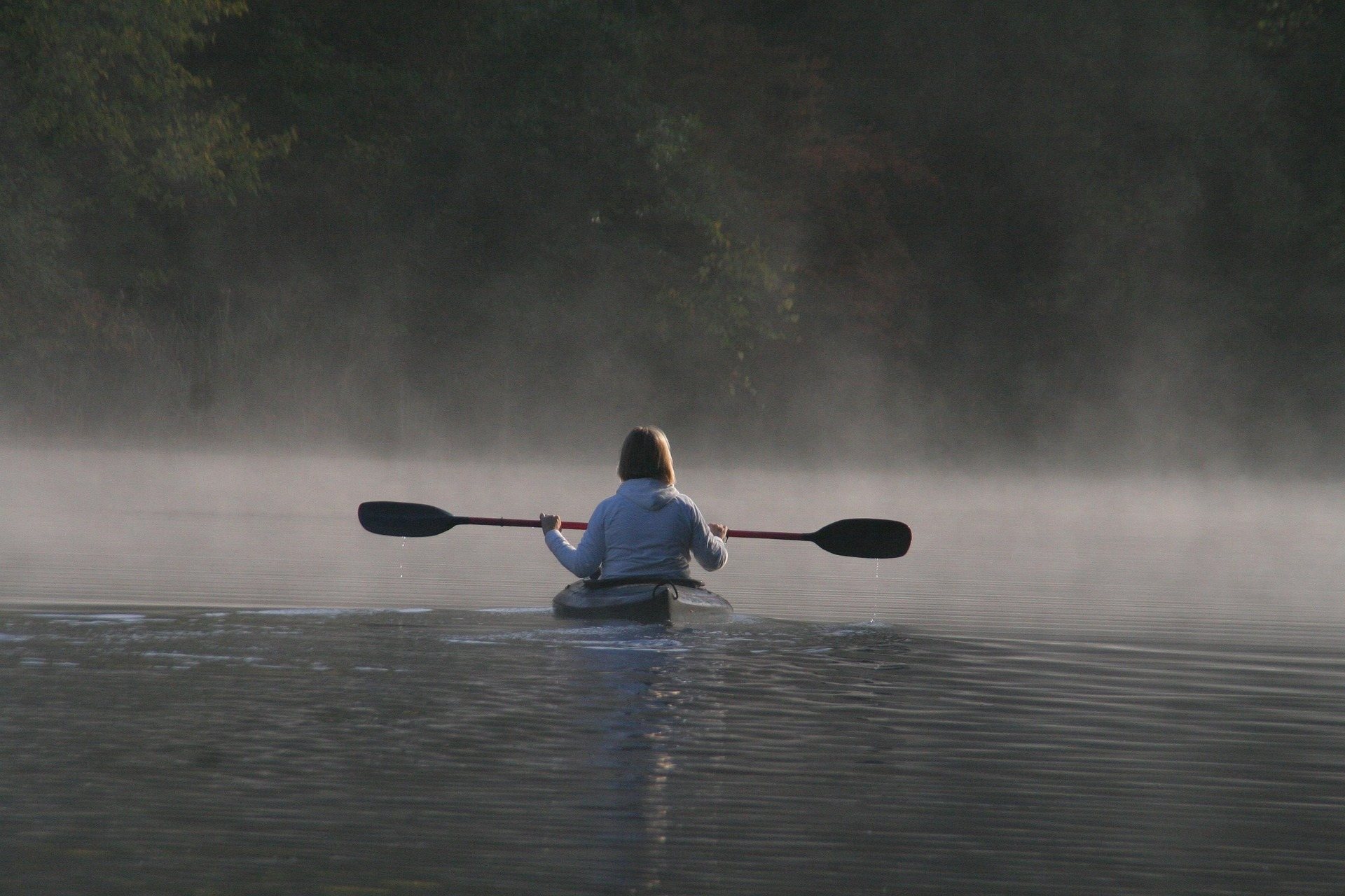 Destination · Mountaineer Country
Tygart Lake State Park: Fishing, Boating and Camping
A guide to Tygart Lake State Park near Grafton: the walleye, bass and muskie fishery, the marina, the 36-site campground and the lake rules.
7 min read · June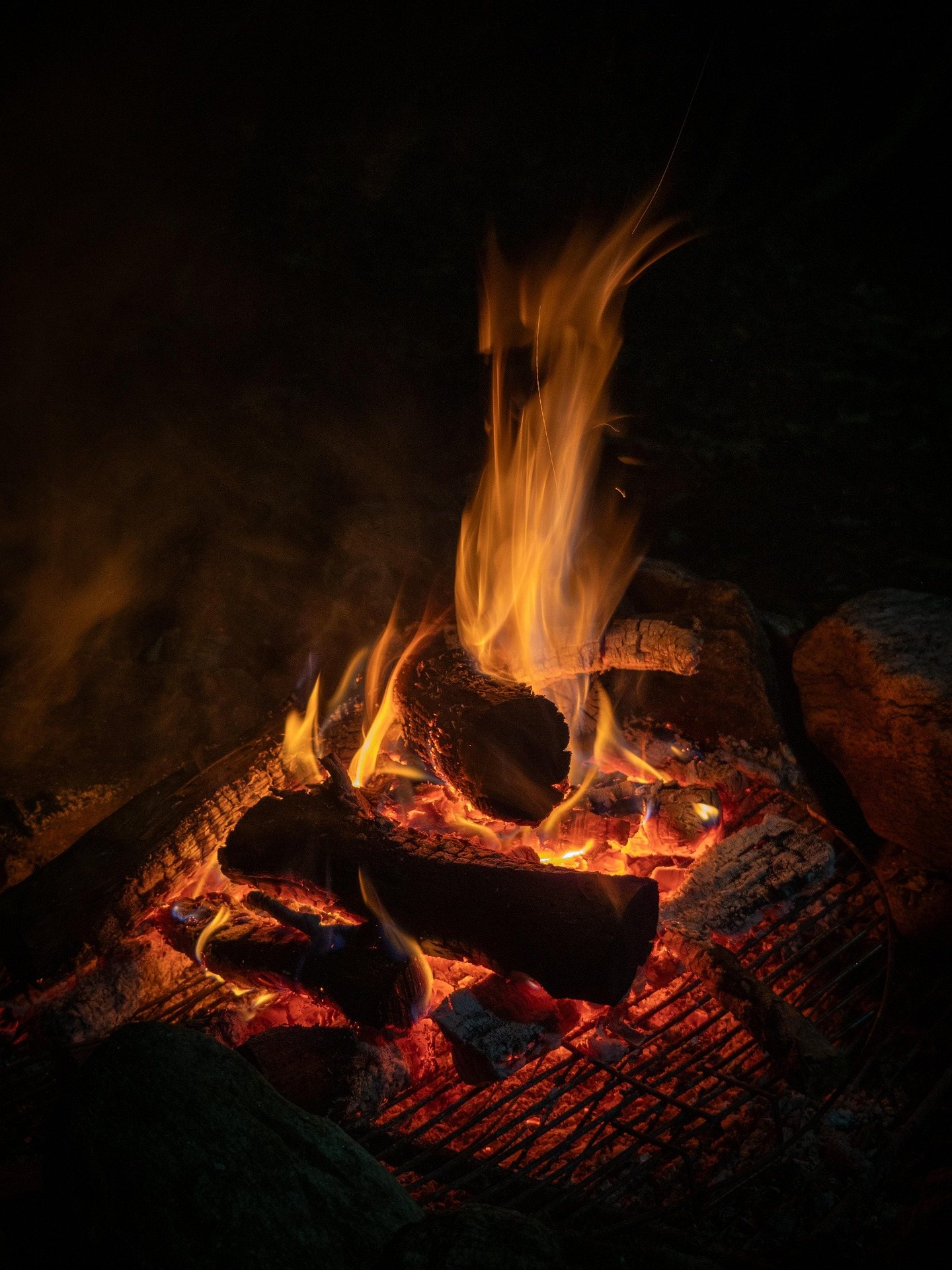 Destination · Southern Coalfields
Things to Do in Gilbert, West Virginia
A rider's survey of Gilbert, West Virginia: street-legal riding, Hatfield-McCoy permits, elk country nearby, and where to sleep and fish.
7 min read
Guide · Southern Coalfields
Riding the Rockhouse Trail System
How riding Rockhouse works: what the tread is like, the permit every rider needs, the street-legal trail towns it links, and where to sleep.
6 min read · September
Guide · Southern Coalfields
Elk Viewing in West Virginia
Where West Virginia's reintroduced elk live, why they hold to reclaimed mine land, the hours worth getting up for, and how access actually works.
7 min read · October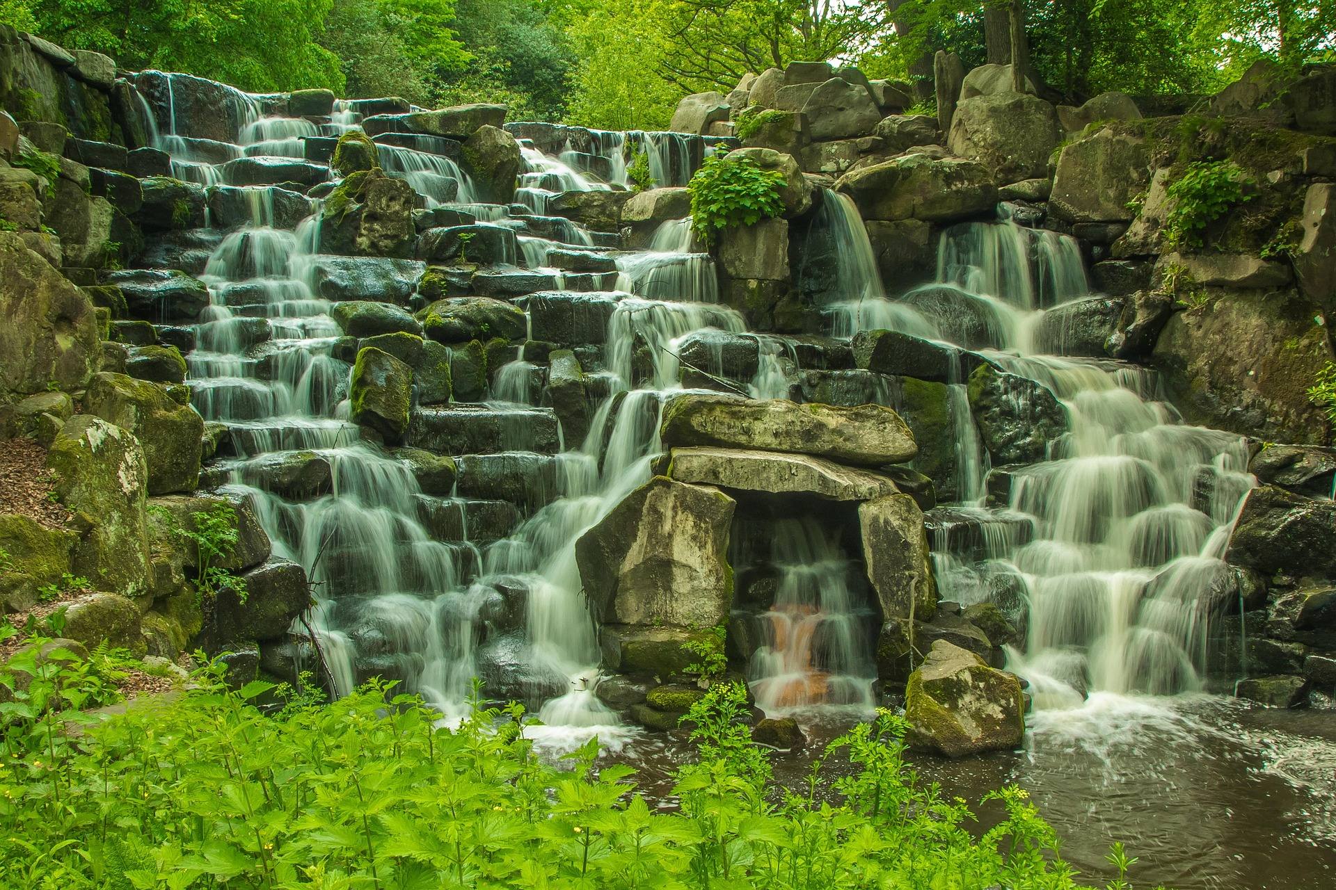 Destination · Southern Coalfields
Twin Falls Resort State Park: A Complete Guide
What the state park publishes about Twin Falls Resort State Park: the 1.25-mile Falls Trail, three ridge loops, sunset from Still Run Ridge, and camping.
7 min read · June
Destination · Southern Coalfields
Things to Do Outdoors in Logan, West Virginia
Where to hike, ride, fish and watch wildlife around Logan, West Virginia, from Chief Logan State Park to the Hatfield-McCoy trail systems.
7 min read
Destination · Southern Coalfields
Panther State Forest: A Complete Guide
A planning guide to Panther State Forest in McDowell County: 7,810 acres, the campground and pool, the overlook climb, and the drive in.
7 min read · May
Guide · Southern Coalfields
Fishing Laurel Lake and R.D. Bailey
Two quiet warm-water lakes in the southern coalfields: what WVDNR publishes about Laurel Lake's 29 acres, licenses, camping and hunting overlap.
7 min read · May
Guide · Mountain Lakes
Fly Fishing the Elk River
The Elk's cold tailwater below Sutton Dam, its wild browns and catch-and-release water, the sulphur hatch, smallmouth downstream and how to find access.
9 min read · May
Destination · Mountain Lakes
Things to Do in Sutton, West Virginia
Paddling, cold-water trout fishing, summer floats, rail-trail miles and the parks and forests around Sutton, at the geographic center of West Virginia.
9 min read
Best of · Mountain Lakes
The Best Hikes in Holly River State Park
Potato Knob, Railroad Grade, Tramontane, Reverie and the accessible Laurel Fork loop, trail by trail, with the lengths and ratings the park publishes.
9 min read · June Destination · Mountain Lakes
Sutton Lake: Boating, Fishing and Camping
What the Corps manages at Sutton Lake, how the pool moves with flood control, where the two campgrounds are, and what the fishing holds.
7 min read · July
Destination · Mountain Lakes
Stonewall Jackson Lake State Park: A Complete Guide
Stonewall Jackson Lake State Park: 2,650 acres of water, the state's best sailing, what the marina rents, Briar Point camping and the overlook walk.
7 min read · August
Guide · Mountain Lakes
The Elk River Rail Trail and Water Trail
What is open on the 73-mile Elk River Trail corridor, what is still being built, how the water trail works, and where the trail office is.
8 min read · September
Destination · Mountain Lakes
Things to Do Outdoors in Buckhannon, West Virginia
The parks, forests, swimming water and quiet walking within day-trip range of Buckhannon, and which of them is worth the drive in which season.
8 min read
Guide · Mid-Ohio Valley
The North Bend Rail Trail: A Complete Guide
Riding 72 miles of old Baltimore and Ohio grade end to end: the tunnel count, the surface, trail hours, access points and what to bring.
8 min read · October
Destination · Mid-Ohio Valley
Things to Do Outdoors in Parkersburg, West Virginia
A river town's outdoor options: a sternwheeler to Blennerhassett Island, refuge islands reachable only by boat, main-stem catfish and a 72-mile rail trail.
8 min read Destination · Mid-Ohio Valley
Ohio River Islands National Wildlife Refuge
How to visit a refuge of 22 islands spread over nearly 400 river miles: which one you can drive to, what the barge traffic means, and why May is the month.
8 min read · May
Guide · Mid-Ohio Valley
Canoeing the Hughes River
Class I water on the three forks of the Hughes: the April to October season, where the public access is, the smallmouth, and what to paddle when it drops.
8 min read · June
Best of · Mid-Ohio Valley
The Best Hikes in North Bend State Park
What is worth walking on the park's 1,405 acres: the accessible Extra Mile Trail, the horseshoe bend of the North Fork, and the Jug.
8 min read · September
Destination · Mid-Ohio Valley
Mountwood Park: Mountain Biking, Fishing and Camping
A 2,600-acre county park with one of the better mountain bike networks in the state's west, a 50-acre lake, camping, disc golf and the Volcano town site.
8 min read · June Best of · Metro Valley
The Best Hikes in Kanawha State Forest
Five Kanawha State Forest trails fifteen minutes from downtown Charleston: the mileages, the grades, which allow bikes and where each one starts.
7 min read · May
Destination · Metro Valley
Things to Do Outdoors in Charleston, West Virginia
The forest, rivers, riverfront and fishing water within reach of Charleston, and what each one is actually good for.
6 min read
Guide · Metro Valley
Paddling the Coal River Water Trail
How the 88-mile Coal River Water Trail fits together branch by branch, which reach to paddle first, what the rentals are, and when the water drops.
6 min read · June
Destination · Metro Valley
Things to Do Outdoors in Huntington, West Virginia
Lakes, forests and in-town green space around Huntington: Beech Fork, East Lynn, Cabwaylingo and the greenway, with what each is best for.
7 min read
Destination · Metro Valley
Beech Fork State Park: Fishing, Camping and Trails
How to plan a trip to Beech Fork State Park: the 720-acre lake's 10 hp cap, 275 campsites, launch and rental windows, and the overlook walk.
7 min read · May
Hidden finds · Potomac Highlands
The Sinks of Gandy: The Cave You Walk Through End to End
How the Sinks of Gandy works as a through-trip cave, what the three-light rule means, and why access on private Randolph County land comes first.
7 min read
Hidden finds · Potomac Highlands
Kumbrabow State Forest: The Highest and Quietest in West Virginia
What Kumbrabow State Forest camping actually involves: rustic cabins with wood heat, rough gravel access, and the tent rules you have to ask about.
7 min read
Hidden finds · Potomac Highlands
Laurel Fork Wilderness: Beaver Meadows and Almost Nobody
Planning a Laurel Fork Wilderness backpacking trip: 18.5 miles of railroad-grade trail, beaver-flooded sections, and Forest Road 14 access.
7 min read
Hidden finds · Potomac Highlands
Roaring Plains West: Dolly Sods Terrain Without the Crowds
Roaring Plains West: 6,792 acres of plateau south of Dolly Sods, the gated Forest Road 70 approach, and what the Forest Service does not publish.
7 min read
Hidden finds · Metro Valley
Cabwaylingo State Forest: CCC Cabins and a Fire Tower
Cabwaylingo State Forest in Wayne County: 8,123 acres, 1930s CCC cabins, a campground, a fire tower, and stocked Twelvepole Creek trout water.
7 min read
Hidden finds · Greenbrier Valley
Calvin Price State Forest: The Undeveloped Half of Watoga
Calvin Price State Forest: 9,482 undeveloped acres south of Watoga, backcountry use only, minimal trail marking, and what the state does not publish.
7 min read
Hidden finds · Greenbrier Valley
Moncove Lake State Park: The Least-Visited Park in the System
Planning Moncove Lake State Park in Monroe County: the 144-acre warm-water lake, the 5-horsepower cap, pool and camping seasons, and the WMA next door.
7 min read
Hidden finds · New River Gorge
Carnifex Ferry: A Quiet Rim Above the Gauley
Carnifex Ferry Battlefield State Park in brief: 156 acres of 1861 battlefield, the Patteson Overlook rim view of the Gauley gorge, and trails off the bluff.
7 min read
Hidden finds · Eastern Panhandle
Trout Pond: The Only Natural Lake in West Virginia
West Virginia's only natural lake is a one-acre sinkhole pond in Hardy County. Fees, seasons, brook trout, Rock Cliff Lake and which ranger district to call.
7 min read
Hidden finds · Mid-Ohio Valley
Blennerhassett Island: Reached Only by Sternwheeler
How a visit to Blennerhassett Island Historical State Park works: sternwheeler-only access from Parkersburg, the 500-acre island, and what to ask first.
7 min read
Hidden finds · Southern Coalfields
Laurel Lake WMA: 12,854 Quiet Acres in Mingo County
What Laurel Lake Wildlife Management Area offers: 12,854 acres, a 29-acre lake, primitive camping at designated sites, and the questions WVDNR has to answer.
7 min read
Hidden finds · Greenbrier Valley
Summit Lake: The Quiet Base for the Cranberry
Summit Lake camping: 33 shoreline sites on a 43-acre stocked lake ten miles from Richwood, with Cranberry Wilderness trailheads immediately behind it.
7 min read
Hidden finds · New River Gorge
Camp Creek: A Small Park Inside a Much Bigger Forest
Campbell Falls and Mash Fork Falls, the trails that run out into 5,300 acres of state forest, and the numbers Camp Creek does not publish.
7 min read
Hidden finds · New River Gorge
The Bluestone Turnpike Trail: Level Walking, Serious Access
The 8.5-mile Bluestone Turnpike Trail between Pipestem and Bluestone state parks: level walking, a 500-foot climb out, and the seasonal tram.
7 min read
Hidden finds · Potomac Highlands
Canaan Mountain Backcountry: Snow When the Valley Is Bare
Plantation Trail's eight miles, the connectors that make loops, wet plateau tread, and why the ski touring above Canaan Valley happens up here.
7 min read
Hidden finds · Mountaineer Country
Big Bear Lake Trail Center: The Riding Locals Have Always Known
Big Bear Lake Trail Center in Preston County: 50-plus miles of rooty cross-country trail, camping inside the network, and what to ask before you ride.
7 min read
Hidden finds · Potomac Highlands
Stuart Recreation Area: The Basecamp Locals Use
Stuart Recreation Area on the Shavers Fork near Elkins: a CCC-built campground used as a basecamp for Otter Creek and Cheat Mountain, and how to book it.
7 min read
Hidden finds · New River Gorge
Bluestone: The Least-Visited Park Service Unit in the State
Hiking the Bluestone National Scenic River: ten miles of gorge on the Turnpike Trail, the three ways in, and why low visitation means more planning.
7 min read
Hidden finds
Six West Virginia State Parks Almost Nobody Visits
Moncove Lake, Cabwaylingo, Panther, Calvin Price, Watters Smith and Tu-Endie-Wei: what the record says about six of the state system's quietest units.
7 min read
Hidden finds
West Virginia Wilderness Areas Ranked by How Hard They Are to Reach
Dolly Sods, Cranberry, Laurel Fork and Roaring Plains West, ordered by what stands between your car and the boundary: gates, plow routes and beaver ponds.
7 min read
Hidden finds
The Quietest Swimming Holes and Beaches in West Virginia
Lake Sherwood's island beach, two state park pools with published prices, and the September drawdown that empties Summersville Lake's shoreline.
7 min read
Hidden finds
Caves You Can Walk Into in West Virginia, Commercial and Wild
Four West Virginia caves and how you get in: two ticketed tours in the Greenbrier Valley, a creek passage on private land, and one closed system.
7 min read
Destination · New River Gorge
The Endless Wall Trail: Cliffs, Ladders and the Best Gorge View
What the Endless Wall Trail is actually like: 2.4 miles of gorge rim, the Fern Creek footbridge, Diamond Point, and how to solve the point-to-point.
7 min read
Destination · New River Gorge
The Kaymoor Miners Trail and Its 821 Steps
A guide to the Kaymoor Miners Trail: 821 wooden steps down the old haulage incline to the Kaymoor One mine ruins, and the climb back out.
7 min read
Destination · New River Gorge
Nuttallburg: A Coal Town the Forest Took Back
Nuttallburg, an abandoned coal town at the bottom of the New River Gorge: the 1,385-foot conveyor, the interpretive trails, and the road down.
7 min read
Destination · New River Gorge
Climbing Beauty Mountain in the New River Gorge
What to know before climbing Beauty Mountain: Nuttall sandstone on the New River Gorge rim, why autumn is the season, and how to check access.
7 min read
Destination · New River Gorge
The Gauley River: Upper, Lower and When Each One Runs
Upper Gauley versus Lower Gauley: 335 feet of drop, five Class V rapids, the autumn release weekends from Summersville Dam, and which run to book.
7 min read
Destination · New River Gorge
The Lower New River: The Standard First Raft Trip
The Lower New River is West Virginia's standard first raft trip: Class III-IV big volume, warm summer water, and Fayette Station under the bridge.
7 min read
Destination · New River Gorge
The Meadow River: Rain-Fed Whitewater Near the Gorge
What the record supports about the Meadow River: Class IV-V rain-fed whitewater, hundreds of new sandstone climbs, and who to ask about access.
7 min read Destination · New River Gorge
Hawks Nest State Park: The Tram, the Overlook and the Marina
How Hawks Nest State Park works: a roadside gorge overlook, an aerial tram to a marina, jet boat rides, and the questions the park does not answer.
7 min read
Destination · Greenbrier Valley
Beartown State Park: A Boardwalk Through a Rock City
Beartown State Park in half a mile: Droop Sandstone blocks, crevasses that hold ice into early summer, a boardwalk-only route, and a winter closure.
6 min read
Destination · Greenbrier Valley
Cranberry Glades: Bogs You Would Expect in Canada
What the half-mile boardwalk at Cranberry Glades crosses, why 750 acres of relict boreal bog sits here, and when to come for the breeding birds.
7 min read
Destination · Greenbrier Valley
Falls of Hills Creek: Three Waterfalls in Three-Quarters of a Mile
Three waterfalls of 25, 45 and 63 feet in three-quarters of a mile: which section is accessible, when the flow is best, and why winter ice closes the descent.
7 min read
Destination · Greenbrier Valley
The Cranberry Wilderness: 47,815 Acres and No Signs
West Virginia's largest wilderness has 70-plus miles of unblazed trail, six trailheads and no signed junctions. What to plan for before you walk in.
7 min read
Destination · Greenbrier Valley
Lost World Caverns: The Commercial Cave in Lewisburg
What Lost World Caverns near Lewisburg is: one enormous chamber 120 feet down, a 28-foot stalactite, a self-guided walk and four-hour wild tours.
7 min read
Destination · Greenbrier Valley
Organ Cave: Saltpetre, Civil War History and Wild Tours
Organ Cave, West Virginia: 40-plus miles of mapped passage, 37 Civil War saltpeter hoppers, walking tours with no crawling, and wild tours by advance booking.
7 min read Destination · Greenbrier Valley
Blue Bend Recreation Area: Swimming and Camping on Anthony Creek
Blue Bend on Anthony Creek: a CCC-built swimming hole, 23 campsites at $16 to $20, five-mile Trail 614, and the late March to November season.
7 min read
Destination · Greenbrier Valley
Droop Mountain Battlefield: The Oldest State Park in West Virginia
Droop Mountain Battlefield State Park: the lookout tower over the Greenbrier Valley, an hour of easy trail, and what the park does not publish.
7 min read
Destination · Potomac Highlands
Dolly Sods Wilderness: What the Plateau Actually Asks of You
What Dolly Sods Wilderness asks of you: 47 miles of unblazed trail above 4,000 feet, no potable water, unbridged crossings and strict camping rules.
7 min read
Destination · Potomac Highlands
Bear Rocks Preserve: The Most Photographed Ground in the State
Bear Rocks Preserve at the north edge of the Dolly Sods plateau: the sunrise view, the rough gravel road in, relentless wind and what to bring.
7 min read
Destination · Potomac Highlands
Timberline Mountain: Skiing Canaan Valley's Steeper Side
What Timberline Mountain in Canaan Valley actually offers: 1,000 feet of vertical, about 40 trails, the two-mile Salamander, and what the record leaves out.
7 min read
Destination · Potomac Highlands
NROCKS and the Nelson Rocks Via Ferrata
Nelson Rocks and the NROCKS via ferrata: twin quartzite fins, a 200-foot suspension bridge, three to four exposed hours, and why you book far ahead.
7 min read
Destination · Potomac Highlands
The Trough: The South Branch Canyon Only Boats and Trains See
The Trough on the South Branch: six road-free miles reachable by boat or the Potomac Eagle train, reliable bald eagles, and excellent smallmouth water.
7 min read
Destination · Mountaineer Country
The Cheat Canyon: Spring Big Water in Mountaineer Country
What the Cheat Canyon asks of you: eleven Class IV-V miles below Albright, a rain-fed season with no release, and the Albright gauge as the decision.
7 min read
Destination · Mountaineer Country
Cathedral State Park: Virgin Hemlock You Can Walk Under
Cathedral State Park holds 133 acres of virgin eastern hemlock over 90 feet tall. What the hour-long loop is like, and why midday is the light you want.
7 min read
Destination · Mountaineer Country
Audra State Park: Alum Cave Boardwalk and the Middle Fork
Audra State Park's 355 acres hold a boulder-bottomed swimming hole on the Middle Fork, the Alum Cave boardwalk, and a campground within walking distance.
7 min read
Destination · Mountain Lakes
Cedar Creek State Park: Fishing Ponds and Family Trails
Cedar Creek State Park in Gilmer County: three trout-stocked lakes, easy linked trails, a quiet campground, and what the park does not publish.
7 min read
Destination · Metro Valley
Chief Logan State Park: Trails and a Theatre in the Coalfields
Chief Logan State Park in Logan County: the Guyandotte Beauty Trail, a wildlife exhibit, an amphitheatre, and a base for Hatfield-McCoy riders.
7 min read
Destination · Metro Valley
Kanawha Falls: The Waterfall You Can See From the Road
Kanawha Falls at Glen Ferris: a wide ledge falls with roadside access, strong current below it, and some of the best hybrid striper fishing in WV.
7 min read
Destination · New River Gorge
Pinnacle Rock State Park: 400 Feet to a Big Southern View
Pinnacle Rock State Park in Mercer County: a steep stairway to a 3,100-foot sandstone fin, a coalfield view, and small-water fishing on a day-use visit.
7 min read
Guide
Do You Need a Permit to Camp in Dolly Sods?
No permit is needed for a dispersed night in Dolly Sods Wilderness. The rules that do bind you are setbacks, surfaces, stay limits and water.
7 min read
Guide
How Hard Is the Endless Wall Trail?
How hard the Endless Wall Trail is: the published distance, what the park does not rate, the exposed edges, and how the two trailheads change it.
7 min read
Guide
Can You Swim in Summersville Lake?
Swimming in Summersville Lake: clarity and timing, depth, boat zones, life jacket rules, the autumn drawdown, and where to reach the water.
7 min read
Guide
Is Blackwater Falls Worth Visiting in Winter?
Blackwater Falls in ice is one of the great sights in West Virginia. The January to February window, free day use, the stairs, the sled run and the ski options.
7 min read · January
Guide · New River Gorge
How Long Does It Take to Hike to Long Point?
Long Point Trail runs about 3.2 miles round trip on level old roadbed. What the National Park Service publishes on time and grade, and what it does not.
7 min read
Guide
What Is the Best Month for Gauley Season?
Gauley Season is roughly six release weekends from the Friday after Labor Day. What the schedule fixes, how fall color moves, and how to choose a weekend.
7 min read · September
Guide
Do You Need a Guide to Raft the New River?
West Virginia publishes no guide requirement for rafting the New. What the boating rules do require, what the Lower New is like, and when to run it.
7 min read
Guide
How Cold Is the Water at Summersville Lake?
Why no fixed water temperature is published for Summersville Lake, what 327 feet of depth means for it, and where the Corps posts current lake conditions.
7 min read
Guide
Is Spruce Knob Drivable to the Top?
Yes, a paved road reaches the 4,863-foot summit of Spruce Knob. Drive time, forest road closures, the half-mile loop at the top and ridge weather.
7 min read
Guide
Are the Dolly Sods Roads Passable in a Car?
How rough Forest Road 75 is, what it does to a low-clearance car, where to check its status, and what the Dolly Sods drive costs you in time.
7 min read
Guide
Which West Virginia Overlooks Need the Least Walking?
Twelve of the twenty-nine overlooks on this site are drive-ups, seven are short walks and ten are day hikes. Sorted, with the road warnings.
7 min read
Guide
Is Coopers Rock Main Overlook Open?
Coopers Rock's main overlook is closed for bridge replacement with no reopening date. Ravens Rock, 1.5 miles, is the view to walk to instead.
7 min read
Guide
Do West Virginia State Parks Charge Entrance Fees?
West Virginia charges no entrance fee at any of its 35 state parks or 9 state forests. What you do pay for, and where federal land differs.
7 min read
Guide
How Far Ahead Do West Virginia Cabins Book?
West Virginia state park cabins open for booking a year ahead, and the popular parks fill for summer and October weekends within days of opening.
7 min read
Guide
Can You Camp Anywhere in the Monongahela National Forest?
Dispersed camping is permitted across most of the Monongahela National Forest without a permit, subject to setbacks and stay limits. How it works.
7 min read
Guide
What Is the National Radio Quiet Zone, and Does Your Phone Work?
What the 13,000-square-mile National Radio Quiet Zone is, why your phone stops working near Green Bank, and how to plan a trip without a signal.
7 min read
Guide
Is the Greenbrier River Trail Rideable End to End?
Yes: 78 miles from Cass to Caldwell at about one percent grade. What the surface, tunnels, campsites and shuttles mean for a two or three day ride.
7 min read
Guide
How Steep Is the Climb Out of the Bluestone Gorge?
The Bluestone Turnpike Trail is level walking, but the connectors from the Pipestem rim climb 500 feet. What that means if the tram is not running.
7 min read
Guide
Which West Virginia Trails Are Actually Accessible?
Falls of Hills Creek has one paved accessible section and Grandview publishes no surfaces. What is verified, what is missing, and who to ask.
7 min read
Guide
When Does the Water Get Warm Enough to Tube?
West Virginia tubing float windows open in May on three rivers and June on nine, with no water temperature published. Seasons, classes and operators.
7 min read · June
Guide
Is Seneca Rocks Climbable Without Experience?
Seneca Rocks holds 375-plus mostly multi-pitch trad routes and no published beginner inventory. What a first-timer can do there, and who to ask.
7 min read
Guide
Do You Need Four-Wheel Drive for the Highland Scenic Highway?
Route 150 is not plowed in winter. What that means for Tea Creek and Summit Lake, and why four-wheel drive is not the published limit on access.
7 min read
Guide
Is There Anywhere in West Virginia You Can Swim With a Lifeguard?
Lake Sherwood's two sand beaches have no lifeguards, and Tomlinson Run swimming means a pool. What these records confirm and what you have to ask.
7 min read
Best of
Dolly Sods or Roaring Plains: Which Wilderness to Pick
Dolly Sods or Roaring Plains West compared on acreage, elevation, trail mileage, road access, permits and camping rules, with a pick for each reader.
7 min read
Best of
Upper or Lower New River: Which Raft Trip Suits You
Upper or Lower New River rafting compared: Class I-III family water above Thurmond against Class III-IV big volume through the deepest part of the gorge.
7 min read
Best of
Snowshoe, Timberline or Canaan Valley: Choosing a Ski Area
Snowshoe, Timberline and Canaan Valley compared on vertical, terrain, snow belt, crowds and booking, with a pick for experts, families and mixed groups.
7 min read
Best of
Blackwater Falls or Canaan Valley: Where to Base in the Highlands
Blackwater Falls or Canaan Valley: which Potomac Highlands park to book, compared on skiing, sledding, trails, lodging, costs and booking windows.
7 min read
Best of
Watoga or Twin Falls: Two Big State Parks Compared
Watoga or Twin Falls: how West Virginia's largest state park compares with the Wyoming County resort park on camping, trails, water and dark skies.
7 min read
Best of
Seneca Rocks or Nelson Rocks: Climbing and Via Ferrata
Seneca Rocks or Nelson Rocks: multi-pitch trad on a 900-foot quartzite fin against a guided via ferrata, plus permits, timing and access.
7 min read
Best of
The Greenbrier River Trail or the North Bend Rail Trail
Greenbrier River Trail or North Bend Rail Trail: 78 riverside miles against 72 miles of tunnels, compared on surface, camping, cost and season.
7 min read
Best of
Summersville or Sutton: Which Lake for a Boat Weekend
Summersville Lake or Sutton Lake for a boat weekend, compared on clarity, drawdown, boating rules, campground booking and the Elk tailwater below Sutton.
7 min read
Best of
Cranberry or Otter Creek: Two Wildernesses for Backpacking
Cranberry Wilderness or Otter Creek for backpacking, compared on acreage, trail mileage, navigation, creek crossings, camping rules and winter access.
7 min read
Best of
Harpers Ferry or Berkeley Springs for an Eastern Panhandle Weekend
Harpers Ferry or Berkeley Springs for an Eastern Panhandle weekend: hiking, river days, flat-ground access, what it costs and how to get there.
7 min read
Best of
Hatfield-McCoy or the Forest Roads: Where to Ride Off-Road
Hatfield-McCoy versus West Virginia forest roads: which one is legal for your machine, what a permit covers, and how the gravel differs.
7 min read
Best of
Cheat Canyon or the Gauley: Which Big Water to Run First
Cheat Canyon versus the Gauley: rain-fed March high water against scheduled autumn dam releases, and which big water a first-timer should book.
7 min read
Best of
Easy West Virginia Hikes With Big Views
Twelve West Virginia overlooks are drive-ups and seven are short walks. Which easy viewpoints hold up, which carry road or closure catches, and when to go.
7 min read
Best of
West Virginia Hikes You Can Finish in Under Two Hours
Eleven West Virginia trails run under a mile and dozens more under three. Lengths, climbs and difficulty ratings for short hikes, plus the ones to leave out.
7 min read
Best of
Accessible Trails, Boardwalks and Overlooks in West Virginia
Ten West Virginia places list accessible recreation; twelve overlooks are drive-ups. Which boardwalks are fully accessible, which are partial, and who to ask.
7 min read
Best of
First Backpacking Trip in West Virginia: Where to Start
Two obvious candidates for a first overnight in West Virginia, why only one of them qualifies, and the permits, months and gear the state actually forces.
7 min read
Best of
West Virginia With Young Children: Short Walks and Big Payoffs
Three West Virginia waterfall walks that pay off inside a mile, which stretches are stairs, which are paved, and where to turn a small child around.
7 min read
Best of
Where to Go in West Virginia Without a Reservation
Seventeen West Virginia places this site logs for primitive or dispersed camping, the rules that come with an unbooked site, and who to ask before you drive.
7 min read
Best of
Rainy-Day Options in the West Virginia Outdoors
Rain in West Virginia moves the rivers first. Two Greenbrier Valley show caves, a steam railroad to Bald Knob, and the lodges that make a wet day work.
7 min read
Best of
One-Tank Trips: West Virginia Outdoors From Washington DC
The Eastern Panhandle sits about 90 minutes from Washington. What fits in a day from DC, what needs a weekend, and how to reach it without a car.
7 min read
Best of
West Virginia Outdoors From Pittsburgh in Under Three Hours
Mountaineer Country is West Virginia's northern edge. The recovered Cheat, 48 miles of Morgantown rail-trail, Coopers Rock, and how to time a trip.
7 min read
Best of
Solo Hiking in West Virginia: Where Cell Service Ends
Dolly Sods, Cranberry and the Quiet Zone all sit outside coverage. What a solo hiker needs to navigate, carry and tell somebody before leaving.
7 min read
Best of
West Virginia Outdoors on a Weekday: Where Crowds Never Reach
Eighteen West Virginia places stay empty because of access, not obscurity. Which ones suit a weekday, what the filter is, and how to plan around it.
7 min read
Best of
Fishing West Virginia Without a Boat
Ten West Virginia rivers with published public access, the license and stamp you need, the season low water helps, and where to check flow first.
7 min read
Best of
Camping in West Virginia in Shoulder Season
What camping in West Virginia is really like in April and October: which parks suit each month, how far ahead to book, and what the cold demands.
7 min read
Guide
West Virginia in January: What Is Open and What Is Not
January in West Virginia: Snowshoe and Timberline, White Grass Nordic, the Blackwater Falls sled run, snowshoe terrain, and a cave that holds 52 degrees.
7 min read · January
Guide
West Virginia in March: Mud, High Water and Early Trout
March in West Virginia: Cheat Canyon at spring flow, trout water opening, Falls of Hills Creek running hard, and the Greenbrier Trail for mud season.
7 min read · March
Guide
West Virginia in May: Peak Birding and Rhododendron
May in West Virginia: warblers on territory, the Cranberry Glades boardwalk, late-May rhododendron at Grandview and Dolly Sods in its backpacking window.
7 min read · May
Guide
West Virginia in July: Water, Heat and Where to Find Shade
How to plan a July trip in West Virginia: the clearest lake water of the year, 52-degree caves, cold creek pools and where the shade actually is.
7 min read · July
Guide
West Virginia in November: After the Leaves, Before the Snow
What November gives you in West Virginia: open views, cold grippy rock, empty trails, hunting season on public land, and snow that has not arrived yet.
7 min read · November
Guide
Where to See Rhododendron and Mountain Laurel Bloom
Grandview holds the one dated rhododendron peak West Virginia publishes. Here is where the bloom is documented, and where the record goes quiet.
7 min read · June
Guide
First Snow in West Virginia: What Opens and When
When West Virginia skiing actually starts: December snow in the Canaan belt, what Snowshoe, Timberline and White Grass each run, and where to check status.
7 min read · December
Guide
Spring Waterfall Season in West Virginia
Where to see West Virginia waterfalls in April, when snowmelt has them at full flow: Falls of Hills Creek, Blackwater Falls and the canyon rim views.
7 min read · April
Guide
Autumn Colour by Elevation in West Virginia
How West Virginia fall color moves downhill from late September, with October timing for Spruce Knob, Dolly Sods, the Highland Scenic Highway and Babcock.
7 min read · October
Guide
Trout Stocking Season: How to Follow It
How to follow West Virginia trout stocking in March: WVDNR posts each day's list after the fact, plus the stamp, the water and the rivers.
7 min read · March
Guide
Shoulder-Season Overlooks: Fog, Frost and Empty Platforms
Which West Virginia overlooks still work in November, which roads close for winter, and where the walk-in views are once the crowds have gone.
7 min read · November
Guide
Winter Hiking in West Virginia: The Highlands Under Snow
Where January snow actually lies in West Virginia, how Canaan Mountain and Blackwater Falls walk in winter, and what the cold up there demands.
7 min read · January
Destination · Potomac Highlands
Hiking the Plantation Trail on Canaan Mountain
Plantation Trail runs eight miles across the Canaan Mountain plateau: the connectors that build a loop, the wet tread, and what is not published.
7 min read
Destination · Potomac Highlands
The Seneca Creek Trail to Seneca Falls
Seneca Creek Trail FT 515 runs 5.2 miles past cascades and pools: the Forest Road 112 approach, unbridged crossings, and the loops off the far end.
7 min read
Destination · Potomac Highlands
Rohrbaugh Plains and the Dolly Sods Rim
The Rohrbaugh Trail is 3.6 miles inside the unblazed Dolly Sods Wilderness: what is published, what is not, and the navigation the walk demands.
7 min read
Destination · Potomac Highlands
The Blackbird Knob Trail: Into the Sods From Red Creek
Blackbird Knob Trail runs 4.7 miles in Dolly Sods Wilderness. Published mileage, unbridged Red Creek crossings, navigation and the best months.
7 min read
Destination · Potomac Highlands
Bear Rocks to Raven Ridge: A Dolly Sods Loop
What is published about looping from Bear Rocks into Dolly Sods: the trail figures that exist, Forest Road 75, navigation, wind and two landowners.
7 min read
Destination · Greenbrier Valley
The Allegheny Trail Through Watoga
Watoga State Park carries 5.5 miles of the Allegheny Trail, rated moderate to difficult. What that section connects to, where to stay and when to go.
7 min read
Destination · Greenbrier Valley
Tea Creek: Forty-Four Miles of Interlocking Loops
Forty-four miles of interlocking trail off the Highland Scenic Highway: setting loop length, the rocky tread, the winter road, and camping at the trailhead.
8 min read
Destination · Potomac Highlands
The Otter Creek Trail End to End
Unbridged crossings, unmarked tread and 1,800 to 3,900 feet of relief: what the record supports about walking Otter Creek, and where it stays silent.
8 min read
Destination · Mountaineer Country
Raven Rock at Coopers Rock: The Overlook That Is Still Open
With the main Coopers Rock overlook closed for bridge replacement, Ravens Rock at 1.5 miles is the view to walk to. Distance, season and what else is open.
8 min read
Destination · Greenbrier Valley
Ann Bailey Lookout Tower at Watoga
What Watoga publishes about Ann Bailey Lookout Tower, what it does not, when the view is best, and which trails on the network give you alternatives.
7 min read
Destination · Mountaineer Country
Tomlinson Run State Park: The Northernmost Park in the System
Tomlinson Run State Park in Hancock County: a 29-acre electric-only lake, stocked trout, a 182-foot waterslide, and what the park does not publish.
7 min read
Destination · Mountaineer Country
Prickett's Fort: A 1774 Fort at a Rail-Trail Trailhead
Prickett's Fort State Park: a reconstructed 1774 fort at a Monongahela confluence, with the southern Mon River Rail-Trail trailhead and a boat launch.
7 min read
Destination · New River Gorge
Little Beaver State Park: Beckley's Closest Trail System
What Little Beaver State Park near Beckley actually offers: 562 acres of shared trails, an 18-acre electric-motor lake and a seasonal campground.
7 min read
Destination · Metro Valley
Tu-Endie-Wei: The Smallest State Park in West Virginia
Tu-Endie-Wei is West Virginia's smallest state park: four acres of riverfront at the Kanawha-Ohio confluence, with a battle monument and a museum.
7 min read
Destination · Mountain Lakes
Watters Smith Memorial: A Preserved Homestead off I-79
Watters Smith Memorial State Park off I-79: a preserved 1796 homestead with a museum, farm buildings, a pool and short woodland trails on 532 acres.
7 min read
Destination · Metro Valley
East Lynn Lake: Quiet Water in Wayne County
East Lynn Lake is a 1,005-acre Corps reservoir in Wayne County with bass, crappie and a 23,000-acre WMA. What is known, and who to ask about the rest.
7 min read
Guide
Which West Virginia Caves Are Open to the Public?
Lost World Caverns and Organ Cave run public tours. Sinks of Gandy needs landowner permission and Friars Hole needs a grotto. What each one publishes.
7 min read
Guide
Where Does West Virginia Stay Cool in August?
The high Potomac Highlands places this site has records for, what each August visit asks of you, and which figures are simply not published.
7 min read · August