
Every organization we link to: local tourism offices, the state and federal agencies that manage the land, the nonprofits and clubs that keep access open, and the universities doing the research.
West Virginia has roughly 1.5 million acres of public land and a handful of places that carry almost all of the attention. The consequence is that a great deal of very good ground sits nearly empty, usually for one of three reasons: nobody has heard of it, the road in is gated or rough, or it is undeveloped and has nothing to advertise. Those are the places below — of them across regions.
Almost Heaven Swings
The month between two seasons
Leaves are down by November across most of the state, views open through the trees, rock stays cold and grippy, and trails empty out completely. The September and October peak is over, and lodging in Fayetteville, Davis and Marlinton is no longer the constraint.
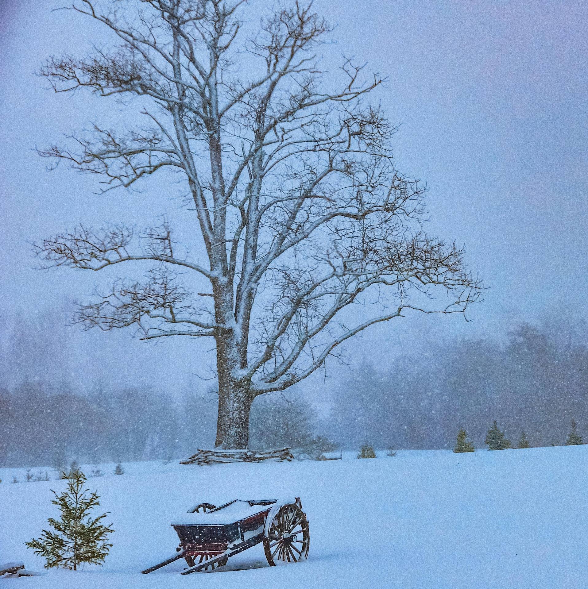
Snow is the thing to be honest about. First reliable snow reaches the Canaan Valley snow belt in December, and that is when the ski areas open. A November trip built around lift-served skiing, White Grass touring or Blackwater Falls in ice is built on something that has not arrived.
Hunting season is the governing fact on public land
Hunting runs September through February, across the Monongahela National Forest and more than 80 WVDNR wildlife management areas. Public land hunting opportunity here is among the best in the eastern United States, and November sits in the middle of it.
For hikers that is a dress code rather than a reason to stay home. Wear blaze orange from October through January on any public land outside state parks, and put orange on your dog. State forests mostly permit hunting in season and state parks generally do not: Coopers Rock, Kanawha, Greenbrier and Calvin Price are among those that allow it.
If you are the one hunting, WVDNR publishes WMA boundaries, regulations and season dates annually, and onX Hunt is the standard tool for boundary work in patchwork country. Hunter education is required for anyone born on or after January 1, 1975.
Coopers Rock with the canopy gone
Coopers Rock State Forest is 12,747 acres above the Cheat River Canyon, minutes from Morgantown and I-68. The stone overlook stands about 1,200 feet above the river, but it is closed for bridge replacement. Ravens Rock, 1.5 miles out, is the view to walk to instead.
Bouldering is the other reason to come now. Rock City and the Roadside area hold several hundred established sandstone problems, the largest concentration in West Virginia, and autumn and winter give the best friction. Rock City sits a mile through a boulder labyrinth from Picnic Shelter number three.
On foot, Virgin Hemlock Trail runs 1.2 miles through a grove over 300 years old, and Ken's Run at 4.5 miles is the longest single trail here. This is a state forest, so hunting is permitted in season. Orange, again.
Rail-trails read differently once the leaves are down
West Virginia's rail-trail inventory is one of the best per capita in the country and grades rarely exceed 2 percent, which makes these the most accessible recreation in the state once higher ground turns unpleasant. The Greenbrier River Trail runs 78 miles from Cass to Caldwell along the river, with 2 tunnels and, by the state park page's count, 35 bridges. The trail's own site counts 37, and both numbers are official.
Droop Mountain Tunnel, 402 feet and built in 1900, sits at mile 30.9, and Sharps Tunnel, 511 feet and 1899, at mile 65.2. The surface is quarter-inch limestone crusher run, and primitive campsites with privies sit every few miles. Cell service is absent for long stretches, and Clawson, at mile 61.2, is reached by five miles of unpaved mountain road.
Elsewhere the North Bend Rail Trail runs 72 miles through 13 tunnels, and you need lights for them. The Mon River system links Morgantown to the Pennsylvania line.
Watoga, dark skies, and what shuts for the season
Watoga is the largest state park in West Virginia at just over 10,100 acres, built largely by the Civilian Conservation Corps in the 1930s. It holds an 11-acre lake, an arboretum, cabins and direct connections to the Greenbrier River Trail and Calvin Price State Forest. Ann Bailey Lookout Tower gives the best view in the park.
Dark skies are the November argument. The park holds an International Dark Sky Park designation, and the wider Pocahontas County area sits inside the National Radio Quiet Zone, where restricted transmission coincides with very low light pollution.
Some things are finished for the year. Boat rentals run Memorial Day to Labor Day, so the lake now means your own boat under electric trolling motor, since gasoline motors are prohibited. Beaver Creek campground has 38 sites and Riverside 50, all on 50-amp electric. Day use costs nothing, as at all 35 state parks and 9 state forests.
Two short walks that hold up in bare-tree light
Cathedral State Park is 133 acres of virgin eastern hemlock, the last substantial stand of old-growth mixed forest left in West Virginia, with individual trees over 90 feet tall. Trails are short and flat, and the canopy is dense enough that ground light stays low all day, which is why the best photography light here is midday. Hemlock woolly adelgid threatens the stand, so move no firewood.
Valley Falls State Park is 1,145 acres on the Tygart Valley River near Fairmont, built around ledge drops through an old mill town site. Photographers, picnickers and, at the right levels, playboaters use it, and mountain bike trails have been developed on the ridge above. The rocks near the falls are slick and the current is stronger than it looks.
Closures and the November drive
Highlands weather is not mid-Atlantic weather: Dolly Sods and Canaan Valley regularly run twenty degrees colder than the valleys, with wind and driving rain, and hypothermia is a live risk in any month. Route 150, the Highland Scenic Highway, is not plowed in winter, which shuts the Cranberry Wilderness trailheads hanging off it, and Blue Bend Recreation Area is open only late March into November per the Forest Service.
Check Monongahela National Forest alerts before committing to a forest road; Forest Road 75 to Bear Rocks is the most notorious. Assume no cell service in the Highlands, the wilderness areas and the Quiet Zone, and download offline maps before you leave pavement.
Backcountry rescue here often means volunteer squads and a long carry-out, so tell someone your plan and your return time. Fuel and food get sparse in Pocahontas, Randolph, Pendleton and Webster counties.
Reach people planning this trip
Placement alongside guides for outfitters, guides, shops and lodging.
List your business hereQuestions
is there snow in west virginia in november?
do i need to wear orange hiking in west virginia in november?
is coopers rock overlook open?
what is open in west virginia state parks in november?
Read next
 Guide
Guide
West Virginia Fall Foliage Guide
Where and when to see fall foliage in West Virginia: how color moves down in elevation, the best overlooks and drives, and why peak dates shift.
9 min read · October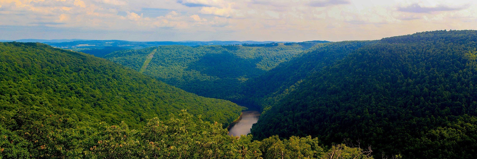 Best of · Mountaineer Country
The Best Hikes at Coopers Rock State Forest
All six Coopers Rock trails with the state's own mileages and ratings, where each one starts, and which walk replaces the closed overlook.
8 min read · October Destination · Greenbrier Valley
The Greenbrier River Trail
A guide to the Greenbrier River Trail: trailheads, camping, bikepacking it end to end, tubing alongside it, and the best sections for a day out.
8 min read