
Every organization we link to: local tourism offices, the state and federal agencies that manage the land, the nonprofits and clubs that keep access open, and the universities doing the research.
West Virginia has roughly 1.5 million acres of public land and a handful of places that carry almost all of the attention. The consequence is that a great deal of very good ground sits nearly empty, usually for one of three reasons: nobody has heard of it, the road in is gated or rough, or it is undeveloped and has nothing to advertise. Those are the places below — of them across regions.
Almost Heaven Swings

What it is
The Greenbrier River Trail runs on the bed of a former railroad along the Greenbrier River through Pocahontas and Greenbrier counties. Because it is a rail grade, it is nearly flat for its entire length — which makes it the most accessible long-distance route in West Virginia and the best bikepacking trail in the state.
It is administered by West Virginia State Parks, which means no entrance fee, and it passes through a series of small towns spaced conveniently for a multi-day trip. The surface is crushed stone and dirt, suitable for a hybrid, gravel bike or mountain bike, and not ideal for narrow road tyres.
Riding it end to end
Two to three days is the usual. The gradient is so gentle that direction barely matters, though most riders go north to south to have the slight downhill.
Camping along the trail is straightforward, with designated sites, and the towns give you resupply and a bed if you want one. Marlinton is the natural midpoint and the largest place on the route. Cass, with its scenic railroad, is a worthwhile detour at the northern end, and Lewisburg is close to the southern terminus with the best food in the region.
This is the trip to recommend to someone who wants a first bikepacking experience. There is no navigation to speak of, no climbing, and a bail-out road is rarely far away.
Day rides and walks
You do not need to do the whole thing. The section around Marlinton is the easiest to reach and gives an immediate sense of the trail. The stretch between Caldwell and Ronceverte at the southern end runs alongside the best tubing water in the state, which opens up a genuinely good combination: float down, ride back.
In autumn it is one of the best flat foliage walks anywhere in Appalachia — color on both banks, water alongside, no elevation. In a good snow year it makes an excellent gentle cross-country ski tour.
The river itself
The Greenbrier is wide, shallow, warm and slow through most of this stretch, and that makes it the best tubing river in West Virginia as well as good smallmouth and flatwater canoe water. Greenbrier River Campground at Alderson runs the one confirmed commercial tube float — Fort Spring down to the campground, around 2.5 miles in two to three hours, minimum 7 years, 50 pounds and 4 feet.
Above Alderson there is no tube shuttle, which is where the rail-trail comes in: leave a bike at the take-out and ride back for your car. By late August the river gets thin and a float turns into a walk, so check the gauge.
Nearby, if you want a rest day
Beartown State Park is a short drive and it is one of the strangest and best short walks in the state — a boardwalk through a maze of eroded sandstone. Droop Mountain Battlefield is next door. Watoga, the largest state park in West Virginia, adjoins the trail's northern half and has a dark-sky designation.
Lewisburg at the southern end has restaurants, bookshops and Lost World Caverns. Cass at the northern end has the steam railroad up Back Allegheny Mountain to Bald Knob.
Practical notes
There is no entrance fee, in keeping with the West Virginia state park system. Horses are permitted on parts of the trail; check current rules for e-bikes and for the specific section you are riding.
Cell coverage is unreliable along much of the route and the Green Bank Quiet Zone restricts transmissions near the northern end. Carry more water than you expect to need — the towns are spaced for a bike, not for a walk.
Reach people planning this trip
Placement alongside guides for outfitters, guides, shops and lodging.
List your business hereQuestions
How long is the Greenbrier River Trail?
How many days does it take to bike the Greenbrier River Trail?
What kind of bike do I need?
Can you tube the Greenbrier River?
Read next
 Best of
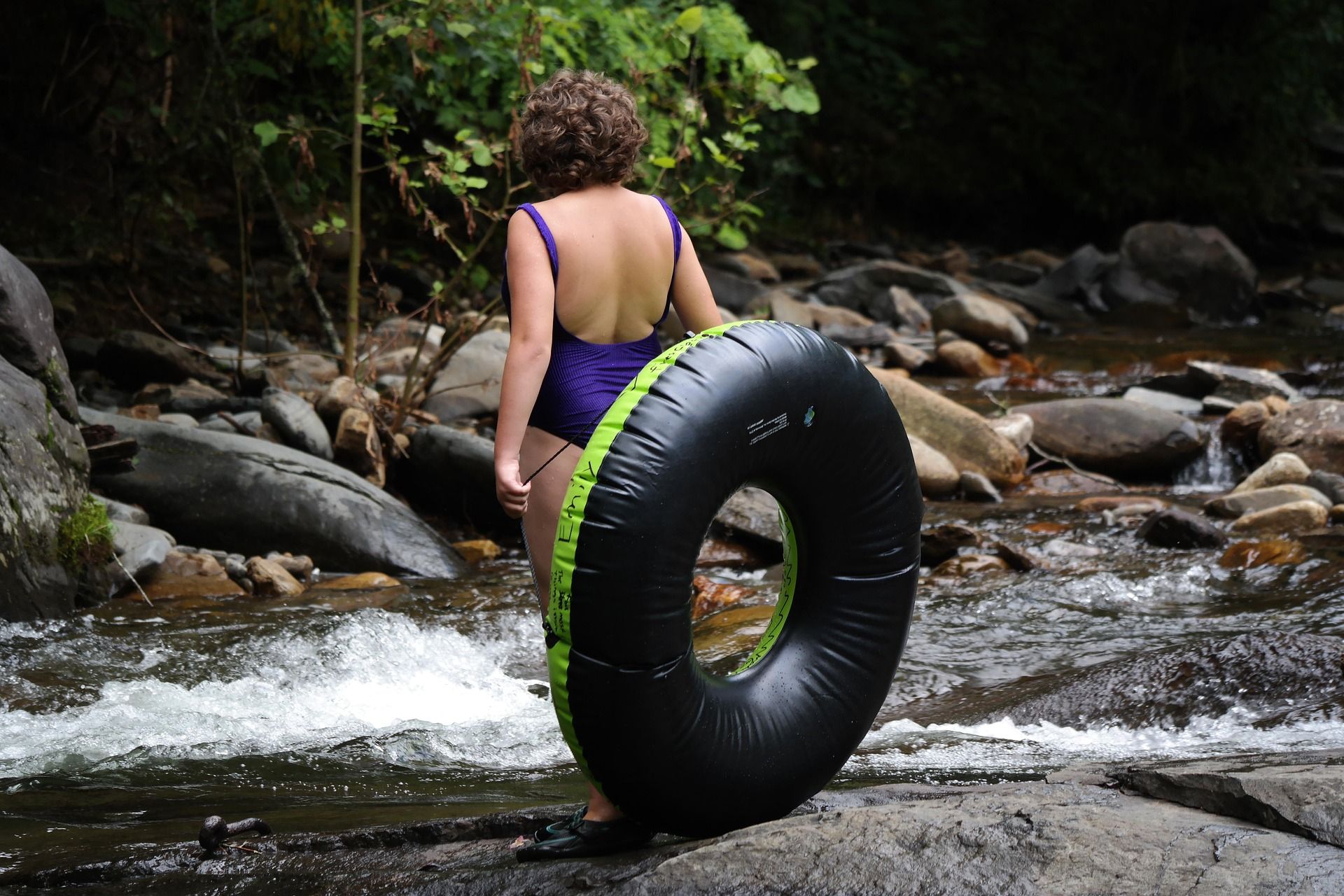
River Tubing in West Virginia
Where to go river tubing in West Virginia: the Greenbrier, Cacapon, Shenandoah and Cheat, with float lengths, outfitters, season and reaches to avoid.
9 min read · July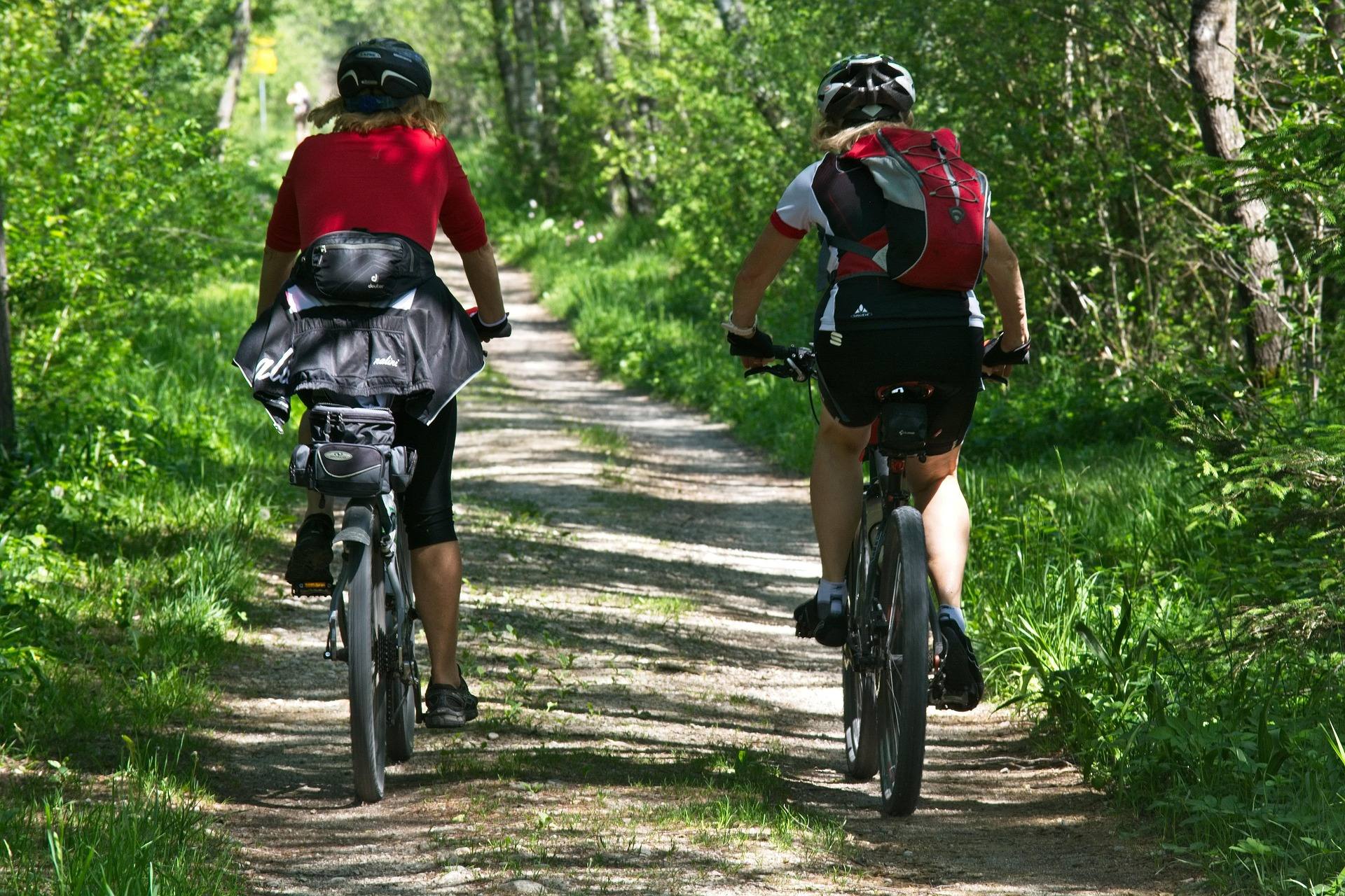 Best of
The Best Mountain Biking in West Virginia
Where to mountain bike in West Virginia: the Arrowhead trails, Canaan and Snowshoe, Hatfield-McCoy, plus rail-trails and gravel in the highlands.
8 min read · June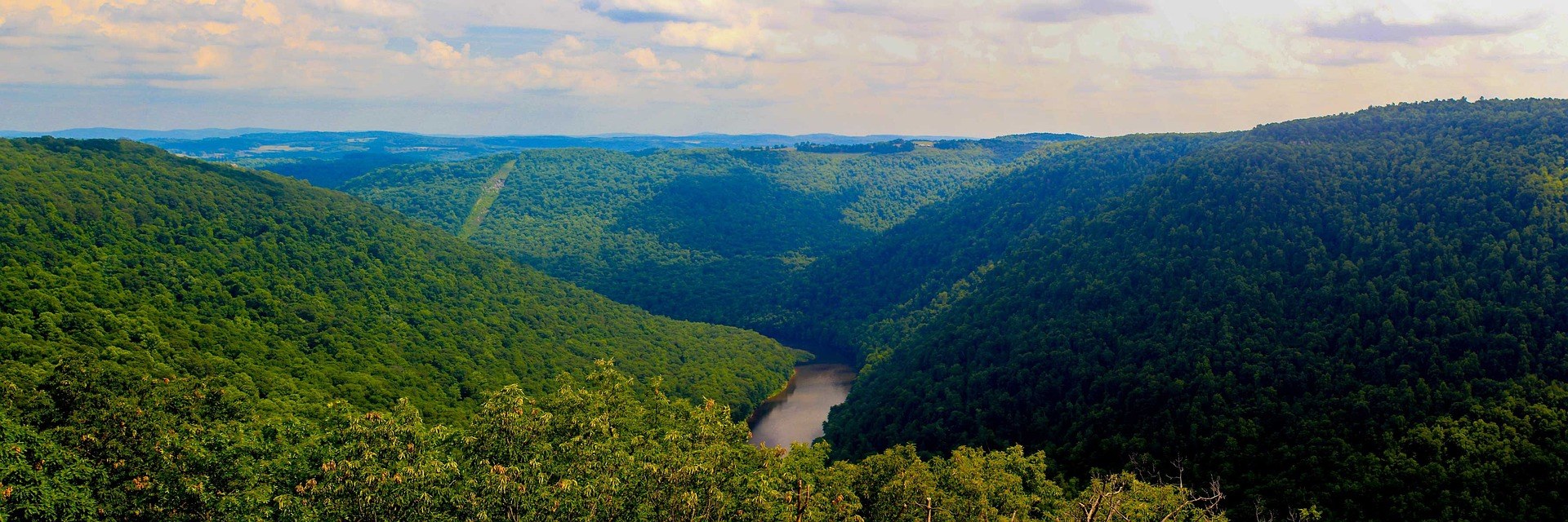 Hidden finds
Hidden Gems in West Virginia
Twenty West Virginia places worth the detour that almost nobody visits: quiet state parks, unpublicised overlooks and the strangest short walk in the state.
9 min read