
First visit
Greenbrier River Trail
Ride a section of the Greenbrier River Trail out of Caldwell, tour Lost World Caverns, and stay in Lewisburg.
Full guide to Greenbrier River Trail →The Greenbrier Valley sits on Greenbrier limestone, producing karst topography: sinkholes, springs, sinking streams and extensive cave systems, several with more than forty miles of surveyed passage. On the surface, the Greenbrier River Trail runs 78 miles along an abandoned Chesapeake and Ohio logging grade with a gradient under one percent. The Greenbrier River itself is Class I to II for most of its length and is the state's most common beginner canoe and kayak water.
The Greenbrier Valley is the least physically demanding region in the state. The bedrock is limestone rather than sandstone, the terrain is open pasture rather than narrow hollow, and the main trail runs 78 miles at under one percent grade.
The valley also sits on several cave systems with more than forty miles of surveyed passage each, most of which require grotto affiliation to enter.
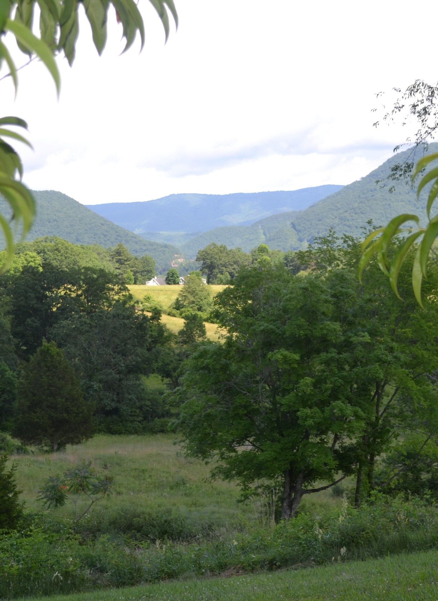
Ride a section of the Greenbrier River Trail out of Caldwell, tour Lost World Caverns, and stay in Lewisburg.
Full guide to Greenbrier River Trail →Cranberry Glades, the Falls of Hills Creek and the Highland Scenic Highway: relict bog, three waterfalls and a byway topping 4,500 feet with very low traffic.
Full guide to Cranberry Glades Botanical Area →Swim at Blue Bend, fish the Greenbrier for smallmouth in August, and camp at Watoga, which holds an International Dark Sky Park designation.
Full guide to Blue Bend Recreation Area →Beartown boardwalk in the morning, the Droop Mountain tower for the valley view, an afternoon floating the Greenbrier, and dinner in Lewisburg.
Pocahontas County sits inside the National Radio Quiet Zone. Your phone will not work for large parts of this region, and that is a legal restriction rather than a coverage gap. Plan navigation offline.
A preserved eighteenth-century downtown with restaurants, galleries and a theatre, located at the southern end of the Greenbrier River Trail and in the middle of the state's most significant karst.
The midpoint of the Greenbrier River Trail and the main service town of Pocahontas County.
Seventy-eight miles, thirty-five bridges, two tunnels and a gradient under one percent.
2–3 days · Apr–OctThe most approachable region in the state: a rail-trail at under one percent grade, warm river paddling, a preserved eighteenth-century town, and limestone country with commercial show caves.
2 places in the Greenbrier Valley carry rail trails.
Where, in this region
Local organizations
Rail Trails across West Virginia →Cave country: among the most significant karst in the eastern United States.
Where, in this region
Local organizations
Greenbrier River Trail — 78 miles, 35 bridges, 2 tunnels, end to end in three days.
Where, in this region
Local organizations
2 places in the Greenbrier Valley carry gravel biking.
Where, in this region
Local organizations
Greenbrier River Trail — 78 miles, 35 bridges, 2 tunnels, end to end in three days.
Where, in this region
Local organizations
The Greenbrier Valley lists recreational kayaking, without a named site of its own on this site yet.
Warm-water fly fishing for smallmouth on the Greenbrier.
Where, in this region
Local organizations
Warm-water fly fishing for smallmouth on the Greenbrier.
Where, in this region
Local organizations
10 places in the Greenbrier Valley carry camping.
Where, in this region
11 places in the Greenbrier Valley carry birding.
Where, in this region
2 places in the Greenbrier Valley carry horseback riding.
Where, in this region
Local organizations
Horseback Riding across West Virginia →2 places in the Greenbrier Valley carry cross-country skiing.
Where, in this region
Local organizations
8 places in the Greenbrier Valley carry outdoor photography.
Where, in this region
Local organizations
Outdoor Photography across West Virginia →23 named destinations in this region.
Seventy-eight miles from Cass to Caldwell on a former Chesapeake & Ohio logging grade, crossing 35 bridges by the state park's count and passing through 2 tunnels, following the Greenbrier River the entire way.
West Virginia's largest state park at over 10,100 acres, built largely by the Civilian Conservation Corps in the 1930s.
A half-mile boardwalk through a formation of large Droop Sandstone blocks separated by deep crevasses, some of which hold ice into early summer.
The largest area of bogs in West Virginia — sphagnum and cranberry peat bogs holding plant communities left behind after the last glaciation, more typical of Canada than the mid-Atlantic, including carnivorous sundews and pitcher plants.
Three waterfalls in three-quarters of a mile, dropping 25, 45 and 63 feet — the last is the second-highest waterfall in West Virginia.
A 43-mile National Scenic Byway climbing over 4,500 feet across the Allegheny plateau between Richwood and US 219, with four major overlooks and access to Cranberry Glades, the Falls of Hills Creek and the Cranberry Wilderness.
47,815 acres of second-growth northern hardwood and red spruce on the high plateau — the largest wilderness in West Virginia.
A preserved company logging town and a working fleet of Shay geared steam locomotives that climb the original grades to Whittaker Station and on to Bald Knob — at 4,842 feet the second-highest point in West Virginia, reachable by train.
The world's largest fully steerable radio telescope, at the center of the National Radio Quiet Zone — a 13,000-square-mile area where radio transmissions are restricted by law.
A commercial show cave outside Lewisburg, entered by a long stairway into a single enormous chamber holding the 28-foot Snowy Chandelier stalactite.
One of the longest caves in the United States, with more than forty miles of mapped passage, and a national historic landmark for its Civil War saltpeter mining works — over thirty original hoppers survive underground.
Among the longest cave systems in the United States, with more than forty-five miles of surveyed passage under Greenbrier and Pocahontas counties.
A CCC-built swimming area on Anthony Creek in the Monongahela National Forest, with a deep green pool below a stone-walled beach, a campground and a loop trail up onto the ridge.
West Virginia's oldest state forest, 11,684 acres along the Greenbrier River with rustic CCC cabins that have no electricity, a fire tower rentable as lodging, and a quiet trail network.
A small park in Monroe County built around a 144-acre lake with warm-water fishing for largemouth bass, bluegill and channel catfish, plus a swimming pool.
The site of the largest Civil War battle fought in West Virginia and the state's oldest state park, with a lookout tower over the Greenbrier Valley, short trails and a museum.
Just outside White Sulphur Springs, adjoining the Monongahela National Forest, with cabins, a campground, a swimming pool and trails climbing Kate's Mountain.
An undeveloped forest adjoining Watoga State Park to the south, with no facilities and minimal trail marking.
A resort in White Sulphur Springs operating since 1778, with several courses including the Old White TPC, the Greenbrier Course and the Meadows.
The largest lake on the Monongahela National Forest, 156 acres at around 2,600 feet against the Virginia line, with two sand beaches — one on the mainland and one on an island reached by a footbridge.
Forty-four miles of interlocking trail off the Highland Scenic Highway, and the best-known mixed hiking and mountain-biking network on the Marlinton district of the Monongahela National Forest.
A 43-acre cold-water lake ten miles from Richwood in the Monongahela National Forest, with a 33-unit campground on the shore and the Cranberry backcountry immediately behind it.
West Virginia's long-distance footpath, running the length of the state's mountain backbone from Virginia to Pennsylvania.
Regional placement for operators based in or serving the Greenbrier Valley. Capped at three per page.
List your business hereAgencies, watershed groups and access organizations tied specifically to this region.
Every organization we link to: local tourism offices, the state and federal agencies that manage the land, the nonprofits and clubs that keep access open, and the universities doing the research.
West Virginia has roughly 1.5 million acres of public land and a handful of places that carry almost all of the attention. The consequence is that a great deal of very good ground sits nearly empty, usually for one of three reasons: nobody has heard of it, the road in is gated or rough, or it is undeveloped and has nothing to advertise. Those are the places below — of them across regions.