
Start here
Cacapon River
The Cacapon in the Eastern Panhandle. Clear, gentle, warm and beautiful, with smallmouth under every ledge and enough access points to make a half-day or three days out of it.
Full guide to Cacapon River →The majority of paddling in West Virginia takes place on flat or easy moving water rather than whitewater. Designated water trails on the Coal, Cheat, Elk, Guyandotte, Greenbrier, New and Upper Monongahela rivers provide mapped public access points, published mileages between them, and hazard information.
Most West Virginia paddling has nothing to do with whitewater. The best days here are slow, warm and shallow, on rivers where a local group has already figured out the access points for you.
The water trail network provides mapped put-ins, published mileages and maintained signage on rivers that were industrial working water a generation ago.
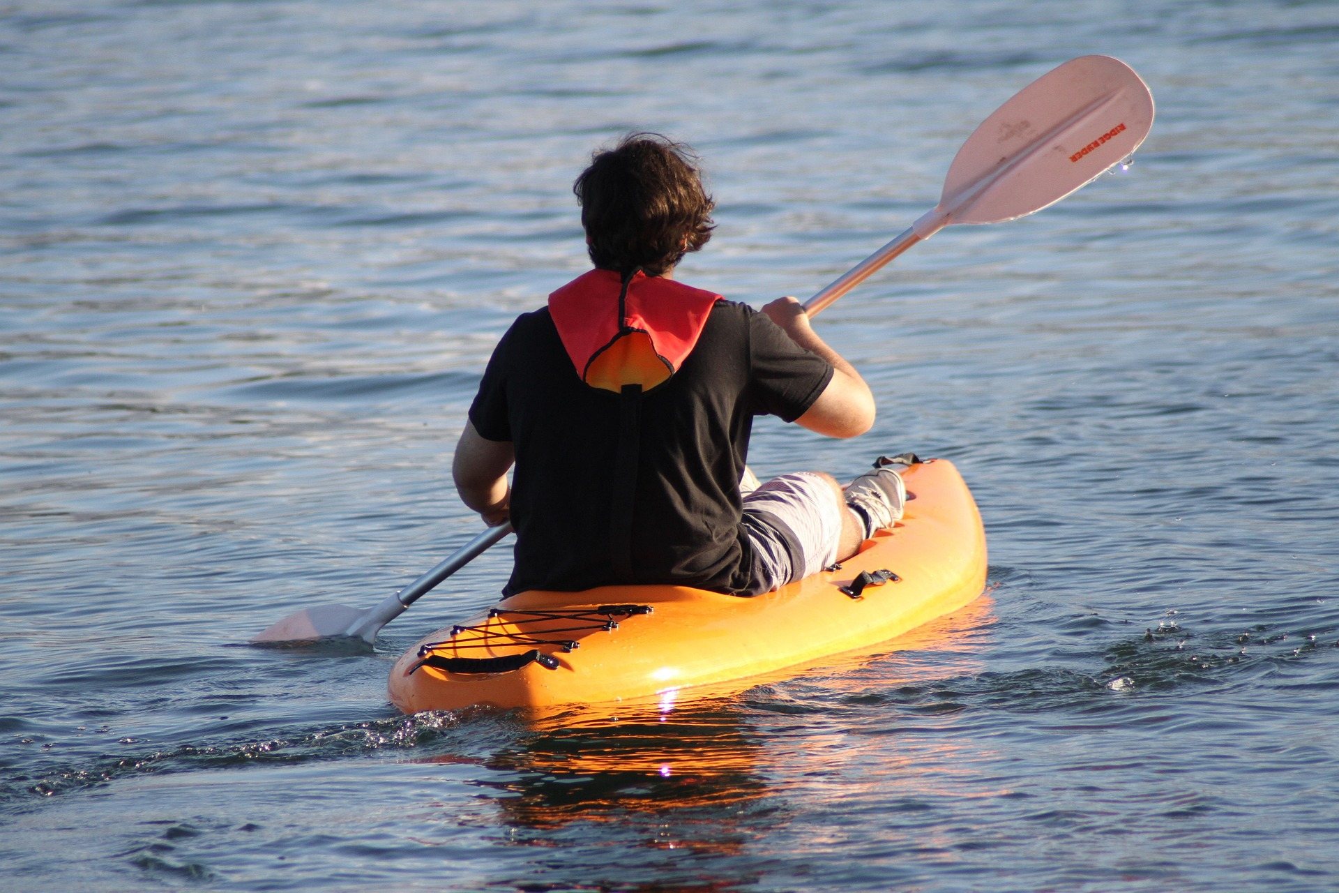
The Cacapon in the Eastern Panhandle. Clear, gentle, warm and beautiful, with smallmouth under every ledge and enough access points to make a half-day or three days out of it.
Full guide to Cacapon River →The Coal River Water Trail south of Charleston. Eighty-eight mapped miles, maintained access, and a river that a volunteer group dragged back into usable shape.
Full guide to Coal River Water Trail →Paddle downstream while the rail-trail runs alongside — which means shuttles are easy, bail-outs are easy, and you can camp along the corridor.
Full guide to Greenbrier River Trail →By August most of these rivers are bony. Late summer often means dragging your boat across gravel bars for a hundred yards at a time. Checking river levels beforehand is worthwhile, and June generally holds better levels than August.
The Greenbrier Valley sits on Greenbrier limestone, producing karst topography: sinkholes, springs, sinking streams and extensive cave systems, several with more than forty miles of surveyed passage.
Water trails and forest trails near CharlestonThe Kanawha and Guyandotte valleys around Charleston and Huntington, containing the largest share of the state's population.
Ohio River islands and the North Bend Rail TrailThe Ohio River corridor and the counties inland from it.
Appalachian Trail, warm rivers, limestone streamsThe Appalachian Trail crosses the Potomac at Harpers Ferry and runs roughly 24 miles through this region.
A six-mile gorge on the South Branch of the Potomac between Romney and Moorefield with no road access — reachable only by boat or by the Potomac Eagle excursion train that runs alongside it.
Where the Shenandoah meets the Potomac and three states meet at once, with the Appalachian Trail running straight through town and the Appalachian Trail Conservancy headquartered a block off Washington Street.
One of the finest gentle canoe rivers in the East — clear, shallow, warm and slow, winding through farmland and forest with reliable smallmouth fishing and easy multi-day trips.
The Shenandoah's Staircase rapids above Harpers Ferry give Class I–III whitewater in a resort-town setting, while the Potomac below the confluence spreads wide and slow for tubing and flatwater.
Three forks — North, South and Middle — draining a landscape of narrow ridges and small farms in Ritchie and Wirt counties, giving quiet Class I canoe water and good smallmouth fishing with almost no other boats.
An organized water trail on the Big Coal, Little Coal and main-stem Coal rivers south of Charleston, with maintained access points, mapped mileages and signage — the product of sustained work by the Coal River Group to turn a working-class industrial river back into a recreation asset.
Reserved for a West Virginia operator serving this activity. The listings above and below it are unpaid.
List your business hereGroups that handle access, maintenance, licensing and conditions data for this activity. Starred entries publish updates worth following.
Every organization we link to: local tourism offices, the state and federal agencies that manage the land, the nonprofits and clubs that keep access open, and the universities doing the research.
West Virginia has roughly 1.5 million acres of public land and a handful of places that carry almost all of the attention. The consequence is that a great deal of very good ground sits nearly empty, usually for one of three reasons: nobody has heard of it, the road in is gated or rough, or it is undeveloped and has nothing to advertise. Those are the places below — of them across regions.