
Every organization we link to: local tourism offices, the state and federal agencies that manage the land, the nonprofits and clubs that keep access open, and the universities doing the research.
West Virginia has roughly 1.5 million acres of public land and a handful of places that carry almost all of the attention. The consequence is that a great deal of very good ground sits nearly empty, usually for one of three reasons: nobody has heard of it, the road in is gated or rough, or it is undeveloped and has nothing to advertise. Those are the places below — of them across regions.
Almost Heaven Swings

Mountaineer Country is the near edge of the state
Mountaineer Country is the northern counties around Morgantown, the part of West Virginia closest to a Pittsburgh driveway. Two published facts frame the trip: I-68 crosses the north of the state through Morgantown, and many visitors fly into Pittsburgh rather than into the state's small airports at Charleston, Morgantown, Clarksburg and Lewisburg.
No drive time from Pittsburgh is published on this site, so do not take a figure from this page. What is published matters more than a number: West Virginia roads follow creeks and ridges, and sixty road miles can take two hours. Check real drive times for your date.
The places on this site within the region are numerous enough to sort by activity rather than proximity: Coopers Rock State Forest, Cheat Canyon, the Mon River Rail-Trail System, the Mountaineer Trail Network Recreation Area, Big Bear Lake Trail Center, Cathedral State Park, Cheat Lake, Oglebay Resort, and the Valley Falls, Audra, Tygart Lake, Tomlinson Run and Prickett's Fort state parks.
The Cheat is a recovery story with whitewater attached
The Cheat River was severely degraded by acid mine drainage through the twentieth century and has recovered substantially since the 1990s, through remediation work led by Friends of the Cheat. Deckers Creek has undergone a similar restoration. The runs people use now exist because volunteers spent thirty years on water chemistry.
Note a discrepancy before you plan around a grade. This site's figure line gives the Cheat Canyon as Class III to V, while its description calls the Canyon a well-known Class IV to V spring run. Either way it is expert water, and the Cheat Narrows carries easier water for anyone not ready for the Canyon. Confirm grade and flow with American Whitewater's section ranges and the USGS gauges.
Season matters as much as grade. Snowmelt and spring rain in March and April put the Cheat at its best, the window this site calls the private boater's season. Levels change within hours after rain, and foot entrapment and undercut rocks kill experienced paddlers.
Coopers Rock, and why a state forest is not a state park
Coopers Rock is a state forest, and the distinction has teeth. Forests are managed for timber, wildlife and watershed alongside recreation, and most permit hunting in season; state parks generally do not. Coopers Rock is named among the forests where hunting is permitted under WVDNR regulations, so walking there in autumn means blaze orange, on you and on your dog.
Day use costs nothing. West Virginia charges no admission at any of its 35 state parks or 9 state forests, with fees only for camping, cabins, lodge rooms, pools, golf and rentals. A two-stop day at Coopers Rock and Valley Falls costs fuel and nothing else.
This site's Coopers Rock coverage splits between hiking and bouldering, and the forest sits close enough to Morgantown to pair with the rail-trail in one day. Trail mileages, overlook access details and seasonal road closures are not published here; WVDNR is the agency to ask.
Forty-eight miles of rail-trail, and singletrack still going in
About 48 miles of connected rail-trail run through Morgantown as the Mon River Rail-Trail System. West Virginia's rail-trails follow former logging and coal-hauling grades, which is why they are unusually long, gentle and scenic. For a mixed-ability group or a long run, this is the most reliable surface in the region.
The Mountaineer Trail Network is building purpose-built singletrack across the region, and both it and Big Bear Lake Trail Center appear on this site. A growing network means this year's map is not last year's, so check Trailforks for rider-reported conditions and closures before committing to a loop.
Both systems run on donated labor. The Mon River Rail-Trails Conservancy, Friends of the Cheat and Friends of Deckers Creek are among the volunteer organizations keeping these resources open. If you ride or paddle here more than once, join the one whose work you use.
Cathedral, Tygart Lake and the case for staying over
Cathedral State Park protects a virgin hemlock stand that this site names as directly threatened by hemlock woolly adelgid. The rule that follows is not optional: move no firewood. Adelgid, emerald ash borer and other pests travel in it. Buy local or buy certified heat-treated rather than hauling a load south with you.
Tygart Lake State Park is one of the ten parks operating a full lodge with a restaurant, which gives the region a soft landing that does not depend on a tent. Bookings open a year in advance, and the popular parks fill for summer weekends and all of October within days. Book early or take a weekday.
Understand dispersed camping before you improvise. It is permitted across most of the Monongahela National Forest without a permit, subject to setbacks from roads, trails and water and to stay limits, but it is not permitted in state parks. Park and forest campgrounds reserve through the state parks system.
Picking your month for a northern trip
March and April belong to the water. Snowmelt and spring rain put the Cheat and the Highlands creeks at their best, trout stocking ramps up, and trails are muddy with high trailheads possibly still snowed in. May and June are the best birding of the year, with Cerulean, Golden-winged and Blackburnian warblers on territory by mid-May.
July and August are humid and hot below 2,500 feet, so the advice is to go high, go underground or get wet; whitewater by then is limited to the New and dam-fed sections. September and October are the busiest weeks, with rock friction at its annual peak and fall color moving from the highest ridges in late September down to the Ohio Valley last. November and December strip the leaves and hand public land to hunting seasons.
Winter here is not uniform. Upslope snowfall, generated when moist air is forced up the Allegheny Front, produces far greater accumulation in Tucker, Preston and Pocahontas counties, which is why the Canaan Valley snow belt exists. Valleys forty miles west stay bare in the same storm. Check Timberline, Snowshoe or White Grass rather than a regional forecast.
Reach people planning this trip
Placement alongside guides for outfitters, guides, shops and lodging.
List your business hereQuestions
how long is the drive from pittsburgh to west virginia?
is the cheat river canyon safe for a first whitewater trip?
do you need a permit or pass for coopers rock state forest?
how many miles of rail-trail are there in morgantown?
Read next
 Guide · Mountaineer Country
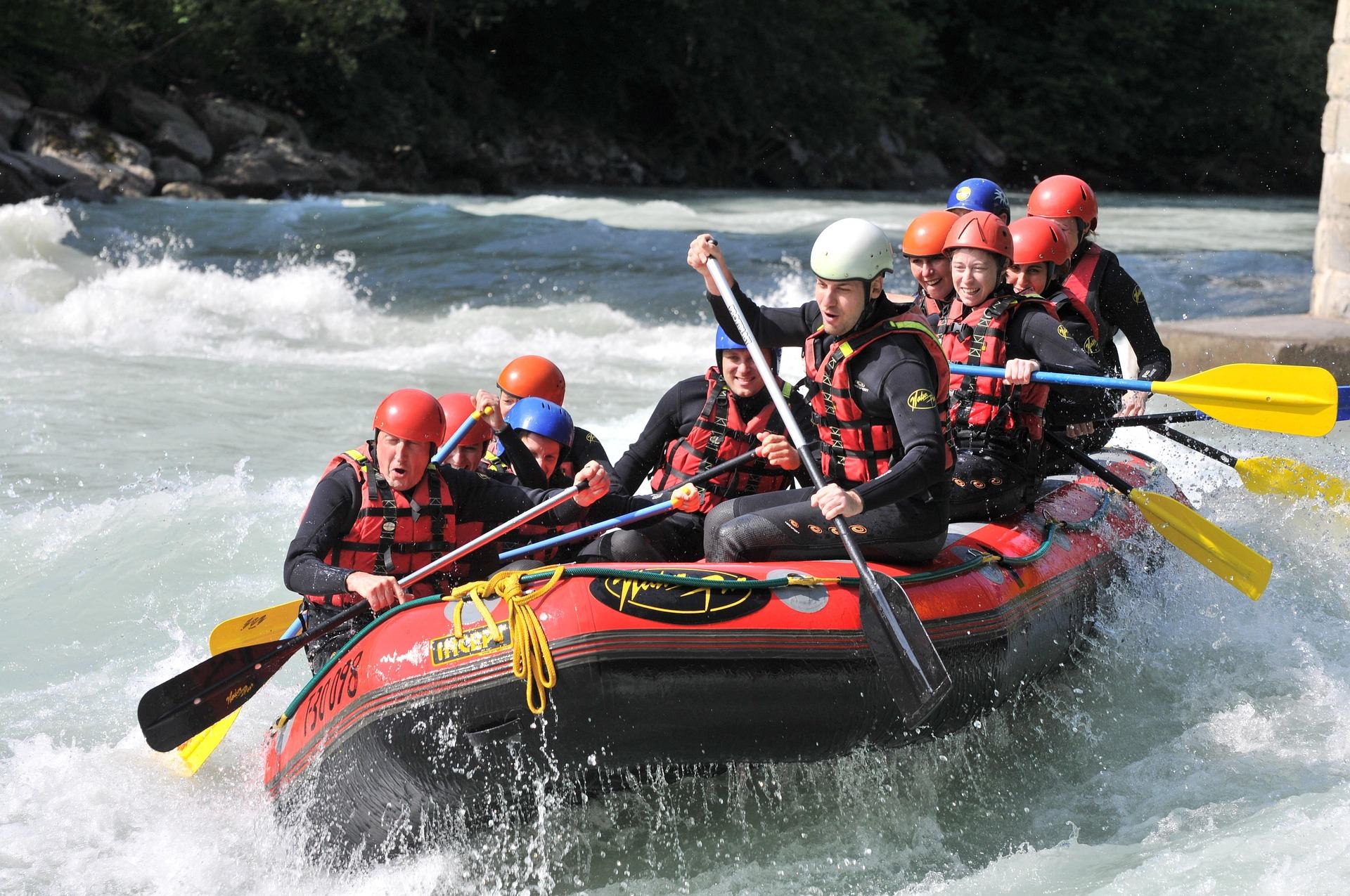
Rafting the Cheat River Canyon
Where the Cheat Canyon run begins and ends, why its class rating differs by which page you read, when it has water, and what camping costs.
7 min read · April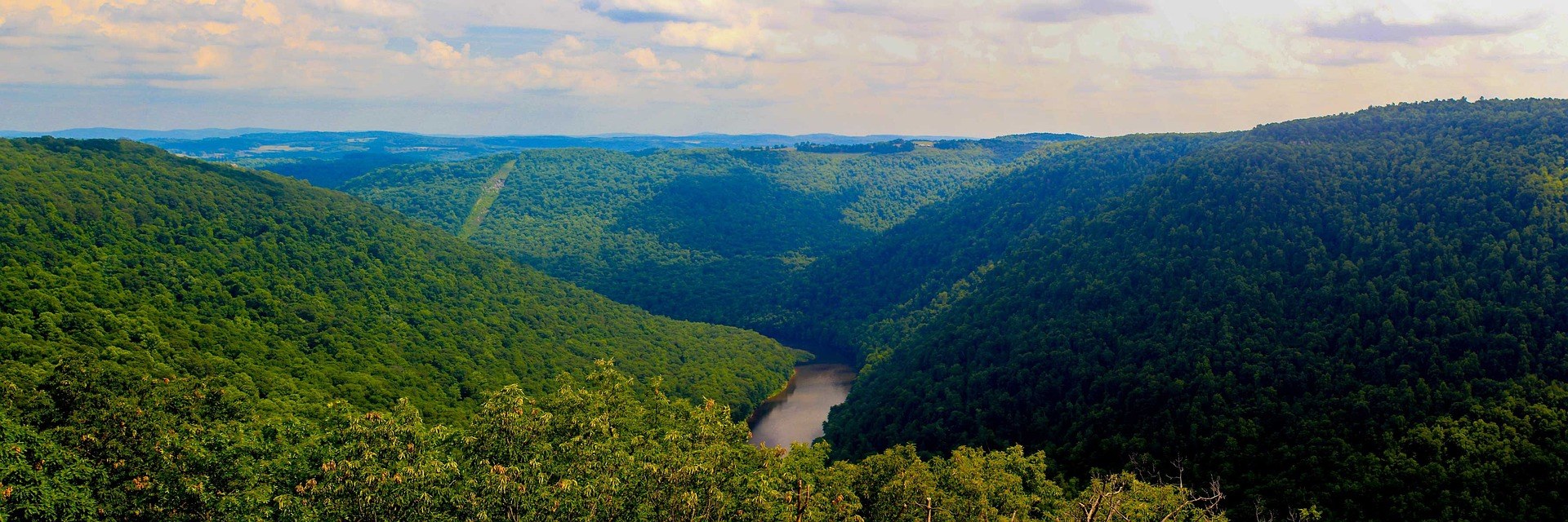 Best of · Mountaineer Country
The Best Hikes at Coopers Rock State Forest
All six Coopers Rock trails with the state's own mileages and ratings, where each one starts, and which walk replaces the closed overlook.
8 min read · October Guide · Mountaineer Country
The Mon River Rail-Trail System: A Complete Guide
How three trails make 48 miles of crushed limestone: the Caperton riverfront, the run north to Pennsylvania, and the 19-mile Deckers Creek climb.
8 min read · May