
Every organization we link to: local tourism offices, the state and federal agencies that manage the land, the nonprofits and clubs that keep access open, and the universities doing the research.
West Virginia has roughly 1.5 million acres of public land and a handful of places that carry almost all of the attention. The consequence is that a great deal of very good ground sits nearly empty, usually for one of three reasons: nobody has heard of it, the road in is gated or rough, or it is undeveloped and has nothing to advertise. Those are the places below — of them across regions.
Almost Heaven Swings

How the three trails fit together
The Mon River Rail-Trail system is not one trail with one name. It is three, joined in Morgantown, and knowing which is which is the whole trick to planning a day on it. The Caperton Trail is the riverfront section through downtown. The Mon River Trail runs north from the city to the Pennsylvania line and south toward Prickett's Fort. The Deckers Creek Trail leaves the river in Morgantown and climbs 19 miles east to Reedsville. Together they total about 48 connected miles, all of it on crushed limestone, and they form the best urban-to-rural trail network in the state.
The managing group publishes the system total and the Deckers Creek length, and not much in the way of segment-by-segment mileage, so the practical way to plan is by endpoints rather than by numbers: pick a trailhead, pick a direction, and decide when to turn around. The junctions in town mean you can also change trails mid-ride, which is unusual on a rail-trail — most of them are a single line with two ends. Here the shape is closer to a Y laid across a river town, with downtown Morgantown at the fork.
The Caperton Trail through downtown
The Caperton section is the busy one and the one most people ride first. It follows the Monongahela riverfront through the middle of Morgantown, it is fully accessible, and it is full of walkers. That last point is a planning fact rather than a complaint: this is the stretch where a bike should be going slowly, where families push strollers, and where a wheelchair user has a genuinely usable riverside mile. If you are here for distance, the Caperton is the connector you pass through, not the destination. It is the busiest ground in the whole 48 miles on a fine weekend.
It is also the section that makes the system work as city infrastructure. You can reach it on foot from downtown, run an out-and-back before work, and be back among buildings within minutes. The riverfront setting means the trail is close to the water level, which matters after heavy rain: the Monongahela is a big managed river, and riverside trail anywhere in Appalachia can carry mud, debris or standing water for a few days after a serious high-water event. Spring is when that is most likely, and it is worth a look at the trail's current status before driving in for a specific ride.

Riding the Mon River Rail-Trail north to the Pennsylvania line
Northbound on the Mon River Trail, the city thins out quickly and the trail follows the river toward the state line, where it connects to Pennsylvania's trail network. That connection is what turns a local amenity into a long-distance route, and it is the reason touring cyclists show up in Morgantown with loaded bikes. If you are riding north with the intention of continuing into Pennsylvania, plan resupply on the Morgantown side, because the trail's own facilities are not published mile by mile. The state-line crossing is a link most rail-trail networks never manage to make.
For a day ride, north is the direction to choose when you want the quiet end of the Mon River Rail-Trail rather than the downtown one. It is flat, shaded in stretches, and it stays beside water. As with every out-and-back, the honest way to plan is by clock rather than by map: decide how long you want to be out, ride half of it, and turn. The surface does not change character on the northern half, so a comfortable pace out is a comfortable pace back. This is also the half where you are most likely to have long stretches to yourself, particularly on a weekday.
South toward Prickett's Fort
The southern direction has an actual destination at the end of it. Prickett's Fort State Park is 188 acres at the confluence of Prickett's Creek and the Monongahela, and the park holds the trailhead and parking for the southern end of the system. That makes it the obvious place to start a ride if you would rather drive out of Morgantown and ride toward it — parking at a state park on a weekend morning is easier than parking downtown. Riding north from here also puts the city at the far end of the day, a better shape for a long out-and-back.
The park is a reconstructed 1774 frontier refuge fort with living-history interpretation, and the programming runs seasonally, so a ride from the south end can finish at something other than a parking lot. There is also a boat launch onto the Monongahela here, which is the detail that makes the southern terminus useful to paddlers: this is a place where flatwater river access and rail-trail access sit in the same 188 acres. A canoe on the river and a bike on the trail can start from the same parking lot on the same morning. The fort dates the site to 1774, well before the railroad the trail is built on.
The Deckers Creek Trail: 19 miles and a steady climb
Deckers Creek is the branch that behaves differently from the rest. It runs 19 miles east from Morgantown to Reedsville, and it climbs steadily the whole way out. The local advice is blunt and correct: ride out and coast back. A rail grade is gentle by definition — grades on West Virginia rail-trails rarely exceed 2 percent — but 19 miles of continuous gentle uphill on crushed limestone is a real effort, particularly on a heavy bike or with a trailer, and riders who treat it as flat find that out around mile eight.
The reward for going out first is that the return is effortless, and the creek itself is worth the attention on the way. Deckers Creek was badly degraded and has been restored over the same decades that the Cheat River recovered from acid mine drainage, and the trail runs beside that result the entire distance. If the full out-and-back is more than you want, ride out for an hour, note the landmark you stopped at, and coast home in considerably less time than it took to get there. Reedsville at the top is the marker for having ridden the whole thing.
Surface, grades and what to ride
Crushed limestone is the surface across the system. It rolls well when it is dry and packed, it drains far better than dirt, and it is slower than pavement — expect to work a little harder for the same speed than you would on a paved greenway. This is close to ideal gravel-bike terrain. Skinny high-pressure tires are the one setup that will make the trail feel worse than it is. A hybrid or a touring bike on reasonably wide tires is the sweet spot for covering the system's distances.
Because the grades are so gentle, this is beginner terrain in the truest sense, and it is open year round. That includes running: the system is used hard by road runners and trail runners, and the flat consistent surface makes it good for measured mileage. The fully accessible Caperton section is the piece to pick for wheelchairs, strollers or anyone who wants a guaranteed-smooth surface rather than a variable one. Elsewhere on the system the limestone is good but not uniform, and soft spots turn up in low places for a day or two after rain.
When to ride, and what is nearby
May is close to the ideal month here. The trail is dry more often than in early spring, the canopy along the river is in leaf, and the heat and humidity that make July riding in northern West Virginia a chore have not arrived. Limestone holds up well to rain but a day or two of heavy weather can leave soft patches and puddles in low spots, so give it time to drain rather than riding through the soft edges and widening them. Winter riding is entirely possible on the flat sections between snows.
Two nearby trails are worth knowing about even though they are not part of the system. The Cheat Lake Trail runs along the western shore of Cheat Lake, east of the city, on a 13-mile-long impoundment — a separate shoreline path, not a branch of this network. And the region's newer mountain bike singletrack sits southeast in Preston County, for technical dirt instead of a rail grade. For the rail-trail system itself, the managing group at montrails.org is the source for current trail status, and the trail is a stewardship project as much as a facility — the same volunteers maintaining tread also keep the geocaches along it.
Reach people planning this trip
Placement alongside guides for outfitters, guides, shops and lodging.
List your business hereQuestions
How long is the Mon River Rail-Trail system?
What is the trail surface?
Which direction is uphill on the Deckers Creek Trail?
Does the trail connect to Pennsylvania?
Where is the southern trailhead?
Is any of it wheelchair accessible?
Read next
 Best of · Mountaineer Country
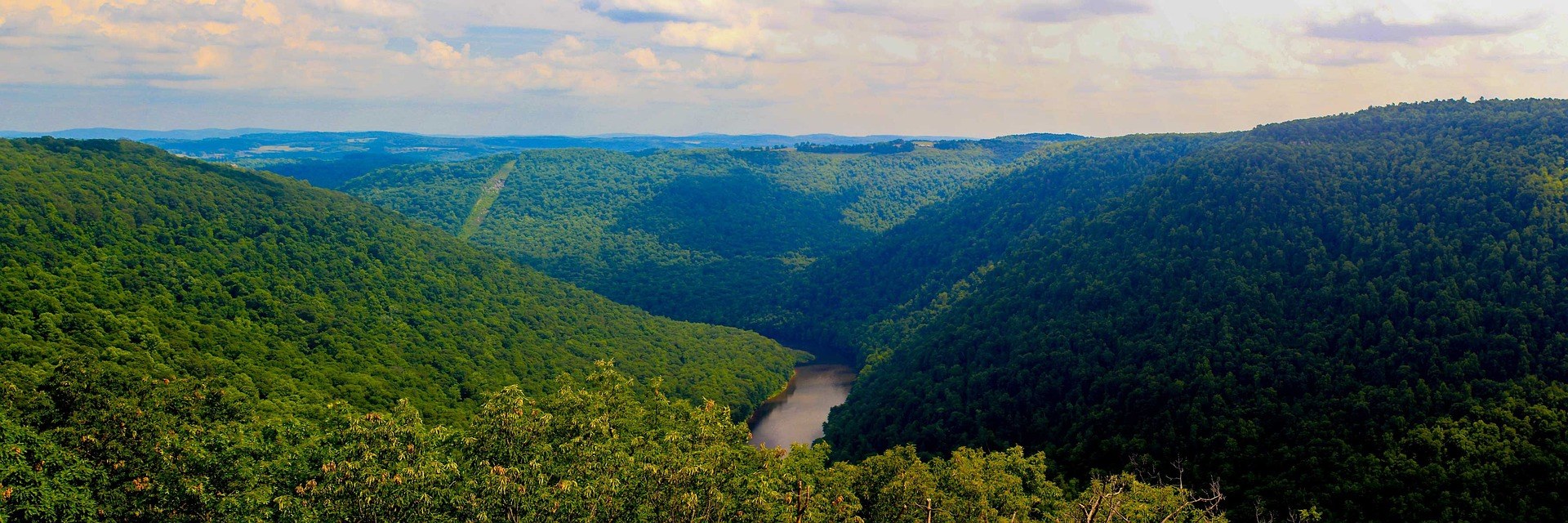
The Best Hikes at Coopers Rock State Forest
All six Coopers Rock trails with the state's own mileages and ratings, where each one starts, and which walk replaces the closed overlook.
8 min read · October
Destination · Mountaineer Country
Things to Do Outdoors in Morgantown, West Virginia
A survey of what a Morgantown base actually reaches: 48 miles of rail-trail, a 12,747-acre forest, Cheat Lake, new singletrack and the Cheat itself.
9 min read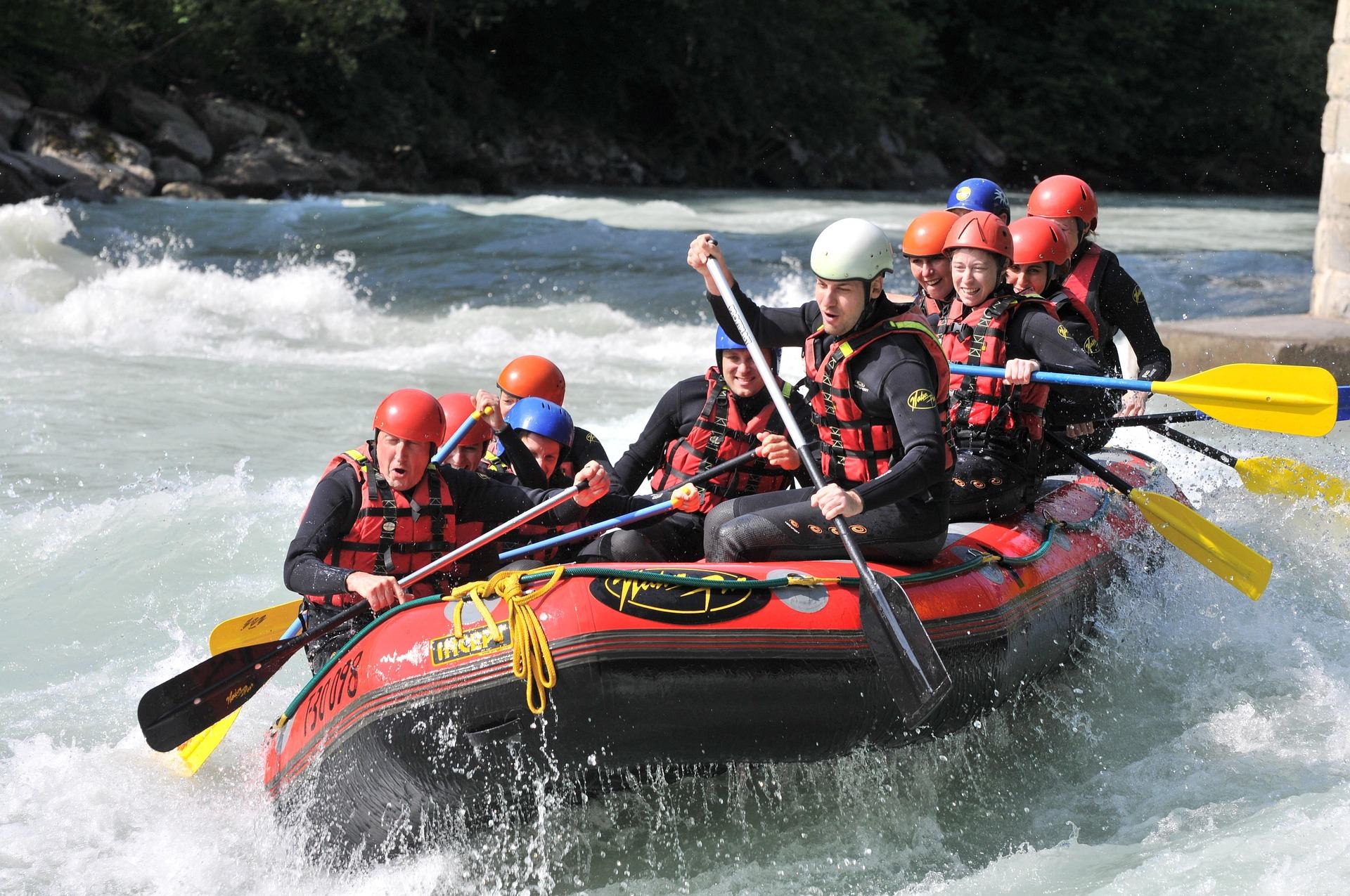 Guide · Mountaineer Country
Rafting the Cheat River Canyon
Where the Cheat Canyon run begins and ends, why its class rating differs by which page you read, when it has water, and what camping costs.
7 min read · April