
Every organization we link to: local tourism offices, the state and federal agencies that manage the land, the nonprofits and clubs that keep access open, and the universities doing the research.
West Virginia has roughly 1.5 million acres of public land and a handful of places that carry almost all of the attention. The consequence is that a great deal of very good ground sits nearly empty, usually for one of three reasons: nobody has heard of it, the road in is gated or rough, or it is undeveloped and has nothing to advertise. Those are the places below — of them across regions.
Almost Heaven Swings
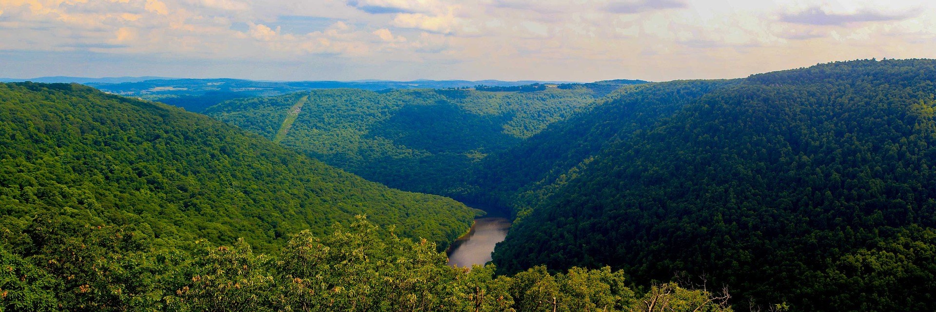
Things to Do Outdoors in Morgantown, West Virginia
Morgantown is the rare small city where the good ground starts at the edge of downtown: crushed-limestone trail along the river, a 12,747-acre forest ten minutes up the interstate, and a recovering whitewater river in the next county.
Things to do outdoors in Morgantown, WV, and how far each one is
Most lists of things to do outdoors in Morgantown, WV begin with the rail-trail, and that is the right place to start, because about 48 miles of connected crushed limestone run through the middle of the city and out in three directions. From there the ground rises. Coopers Rock State Forest is minutes east on I-68. Cheat Lake sits just east of town, 13 miles of narrow impoundment with a shoreline trail. Preston County, immediately southeast, holds new purpose-built singletrack and the Cheat River itself. Nothing here needs more than a short drive.
The counties around the city — Monongalia, Preston, Marion, Taylor, Harrison and Barbour — are what a Morgantown base actually reaches, along with Kingwood, Fairmont, Albright and Clarksburg. That geography shapes the calendar as much as the map does. The rail-trails run year round at a beginner grade. Mountain biking on regional trail runs roughly March through November. The Cheat depends on rain and snowmelt, which means the whitewater season is short, early and unpredictable, and the flatwater on Cheat Lake is there whenever the wind is down. Hiking, fishing and the rail-trails carry the other nine months.
Riding and walking the rail-trail system
The Caperton Trail is the piece most visitors meet first: the riverfront section through downtown, fully accessible and busy with walkers. North of the city the Mon River Trail continues to the state line, meeting Pennsylvania's trail network there. Southbound it heads for Prickett's Fort. The third trail, Deckers Creek, turns away from the river and climbs 19 miles east to Reedsville, gaining steadily in that direction — ride out and coast back. The whole system is crushed limestone, and the three trails meet in town, so you can change routes mid-ride.
Rail-trails are the most accessible outdoor recreation in West Virginia — grades rarely exceed 2 percent — which makes this system the default option for a stroller, a road-running loop, a gravel bike or a first bike tour. Deckers Creek is also a restoration story: the creek was degraded and has been cleaned up over the same decades that the Cheat has recovered, and the trail runs alongside the result. TrailLink and the West Virginia Rails-to-Trails Council keep the working inventories if you want to check current conditions before a long day.

Coopers Rock State Forest
Coopers Rock is 12,747 acres on the rim of the Cheat River Canyon, with the stone overlook standing about 1,200 feet above the river. The overlook is closed for bridge replacement, so the canyon view now means walking Ravens Rock Trail, 1.5 miles and rated moderate. The forest's other trails range from a 1-mile easy walk through the Rock City boulder labyrinth to Ken's Run at 4.5 miles. Rock City and Haystack hold several hundred established sandstone boulder problems, the densest concentration in the state, which is why you will see climbers with pads in the parking areas.
The forest also carries mountain biking, trail running and cross-country skiing on the same network, plus camping at McCollum. One number governs a visit: the forest gate closes at 5 p.m., which rules out summer evenings even after the overlook reopens. Autumn and winter are the best seasons here — dry cold gives the best friction on the sandstone, and the bare canopy is when the canyon is genuinely visible from the rim. Summer is humid and green, and the view is mostly leaves. Rock City from Picnic Shelter #3 is the walk for a first visit with an hour to spend.
Cheat Lake, the closest flatwater
Cheat Lake is a 1,730-acre impoundment of the Cheat River just east of the city, long and narrow, 13 miles from end to end. It is the nearest flatwater paddling and lakeside recreation to Morgantown: kayak, paddleboard, motorboat, sailboat and shoreline fishing, with boat access on the lake and the Cheat Lake Trail running along the western shore for walking and running. A narrow reservoir behind a dam is a different animal from a wide open lake: the shoreline is steep and wooded, there is always a bank close by, and a paddler can work along the edge for hours without crossing open water. Nothing about a day here depends on rainfall.
Morning is the calmest time to paddle, which is worth planning around on a long narrow reservoir where afternoon wind funnels down the axis of the lake and builds chop against you on the way back. CLEAR is the local group working on lake water quality and access. Note the connection upstream, too: Jenkinsburg Bridge serves as both the take-out for the Cheat Canyon run and the put-in for the Class III reach that ends at Cheat Lake, so the lake is where the whitewater above it finally slows down.
Paddling the Cheat and its access points
The Cheat is the one West Virginia river where a nonprofit is the visible access manager. Friends of the Cheat publishes what each site is and what it still needs, and the sites are actively being rebuilt. For most visitors the relevant water is the Narrows, the Class II–III reach from Rowlesburg down to the Cheat River Trailhead at Kingwood. The Driveway, along Route 72, is a carry-down put-in on an easy sloped path with the largest parking area on that road. Downstream from Albright, the Canyon is the serious rain-fed spring run and a different proposition entirely.
The take-out at 10922 River Road in Kingwood is the most developed access on the river: accessible parking, wayfinding signage, rest areas, water bottle filling stations and the Keith Pitzer Memorial Pavilion, open dawn to dusk. Two cautions matter when planning. The Caves, also called YaYa's Landing, was acquired in 2025 but its concrete stairs and raft slide are not built — Friends of the Cheat put the remaining cost at about $570,000 — so do not plan a trip around it. And on Big Sandy Creek the Rockville bridge has been closed since August 2020; the river-left approach needs a high-clearance vehicle and crosses private land, so use the Pisgah side.
Singletrack in Preston County
The Mountaineer Trail Network Recreation Area is purpose-built modern singletrack on state-owned land in Preston County, the anchor project in an effort to link northern West Virginia into one mountain bike destination. Machine-built flow and technical climbing trails are a deliberate break from the region's traditional riding, which is natural-surface and technical, following old logging and game trails over rock and root at steep grades. Mileage is growing, so check Trailforks for what is currently open rather than trusting a map — Trailforks is the most current source for West Virginia trail conditions and status generally.
Wet-weather closures are enforced here to protect new tread, and that is the rule most likely to change your plans — northern West Virginia gets rain in every month, and new machine-cut trail is fragile when saturated. If the network is closed, the region's older private trail center at Big Bear Lake in the same county runs on rooty, rocky natural surface that handles moisture differently, and a day-use fee applies there. The regional riding season runs roughly March through November, and most established trail rewards intermediate to advanced skills.
Fishing, swimming and the short drives south
The quietest of the things to do outdoors in Morgantown, WV is also the most year-round one. Fishing here means smallmouth in the warm rivers, walleye and catfish on the big water, and largemouth and muskie in the reservoirs. WVDNR administers licensing and regulations and runs one of the most extensive trout stocking programs in the East. Two rules trip people up: a trout stamp is required in addition to a fishing license on stocked trout waters, and WVDNR posts each day's stockings only by the end of that business day, never in advance, so there is no stocking schedule to plan a trip around.
South of town, Prickett's Fort State Park is 188 acres on the Monongahela, with the trailhead and parking for the southern end of the rail-trail system, a boat launch onto the river and a reconstructed 1774 frontier fort where living-history programming runs seasonally. Further south, Audra State Park is 355 acres on the Middle Fork River, built around a boulder-strewn swimming area and the Alum Cave boardwalk beneath an overhanging rock shelter. The Class I–II float below the ledges is a June-to-August tubing reach; the park's tube rental could not be confirmed as still operating, so call Audra before counting on it. The water is cold and the bottom is all rounded boulders.
Reach people planning this trip
Placement alongside guides for outfitters, guides, shops and lodging.
List your business hereQuestions
What is the best outdoor thing to do in Morgantown with limited time?
How far is Coopers Rock State Forest from Morgantown?
Can you see the Coopers Rock overlook right now?
Where do you paddle flatwater near Morgantown?
What is the easy whitewater near Morgantown?
Is there a place to camp on the river?
Read next
Best of · Mountaineer Country
The Best Hikes at Coopers Rock State Forest
All six Coopers Rock trails with the state's own mileages and ratings, where each one starts, and which walk replaces the closed overlook.
8 min read · October Guide · Mountaineer Country
The Mon River Rail-Trail System: A Complete Guide
How three trails make 48 miles of crushed limestone: the Caperton riverfront, the run north to Pennsylvania, and the 19-mile Deckers Creek climb.
8 min read · May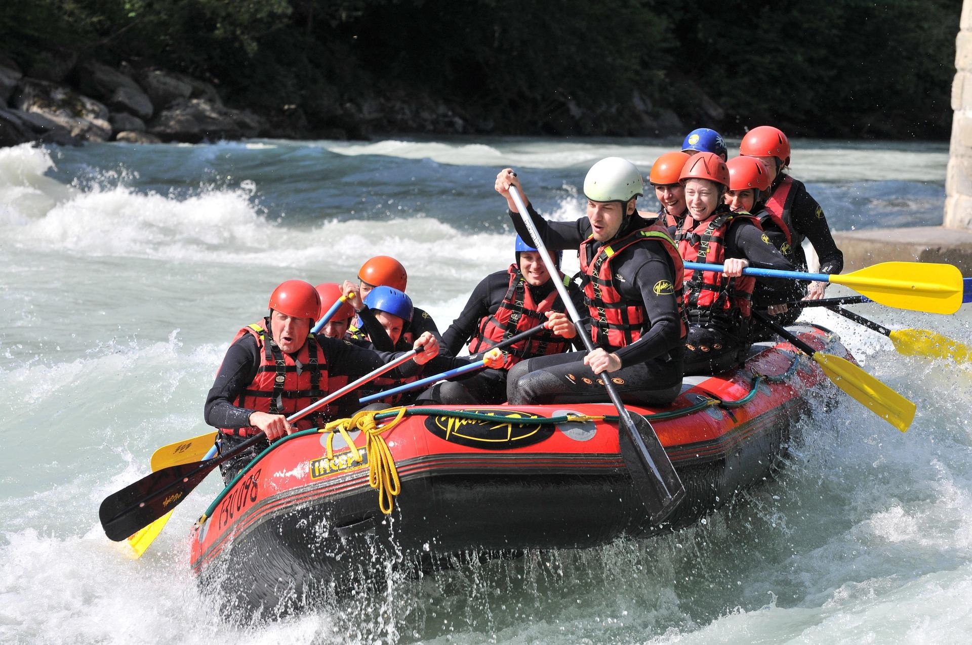 Guide · Mountaineer Country
Rafting the Cheat River Canyon
Where the Cheat Canyon run begins and ends, why its class rating differs by which page you read, when it has water, and what camping costs.
7 min read · April