
Every organization we link to: local tourism offices, the state and federal agencies that manage the land, the nonprofits and clubs that keep access open, and the universities doing the research.
West Virginia has roughly 1.5 million acres of public land and a handful of places that carry almost all of the attention. The consequence is that a great deal of very good ground sits nearly empty, usually for one of three reasons: nobody has heard of it, the road in is gated or rough, or it is undeveloped and has nothing to advertise. Those are the places below — of them across regions.
Almost Heaven Swings
What the canyon run is
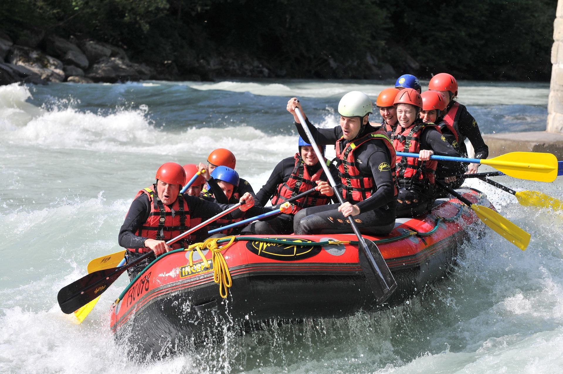
The canyon run goes about 11 miles from Albright downstream to the Jenkinsburg Bridge, through a remote gorge with named rapids including Big Nasty, Coliseum and Pete Morgan. It is one of the classic big-water runs of the East, and it is the reason people drive to Preston County for Cheat River rafting rather than for the gentler reaches upstream. The commitment is the thing to understand before you launch. The shuttle road stays up on the rim, the walls close in below Albright, and the next place a vehicle meets the water is the take-out at Jenkinsburg. Eleven miles is the trip, whatever the river turns out to be doing that day.
The water itself is a recovery story. Acid mine drainage degraded the Cheat severely through the twentieth century, and the turnaround since the 1990s has been driven largely by Friends of the Cheat. That nonprofit is now also the visible access manager on the river, which is unusual here — on most West Virginia rivers a state or federal agency publishes the access information, and on the Cheat the nonprofit does, site by site, including what each one still needs. Cheat Fest each spring is the same community's annual gathering. Deckers Creek, in the same watershed, has gone through a comparable restoration.
The class rating depends on which page you read
Three separate records covering this same eleven miles rate it three different ways. The regional summary calls the Cheat Canyon Class III–V. The place record for the canyon gives Class IV–V, qualified as the rating at high water. The reach description for Albright to Jenkinsburg Bridge lists Class III–IV. None of those is obviously the correction of the others, so the honest way to state it is as a range: the published class for the canyon runs from III to V depending on which agency page you land on, and where the river actually falls inside that range on a given day is a question of flow.
That is not a dodge, because flow is genuinely what decides it. The canyon changes character dramatically with the level, which is why the river's own managers tell you to watch the gauge at Albright rather than trust a single number. Low water makes it a slower, rockier, more technical day. High water makes it continuous and consequential, and that is where the Class V end of the published range comes from. A commercial outfitter makes that call for you. If you are paddling your own boat, make it yourself, and read the American Whitewater section description alongside the USGS level before you commit to the shuttle.
When Cheat River rafting actually happens
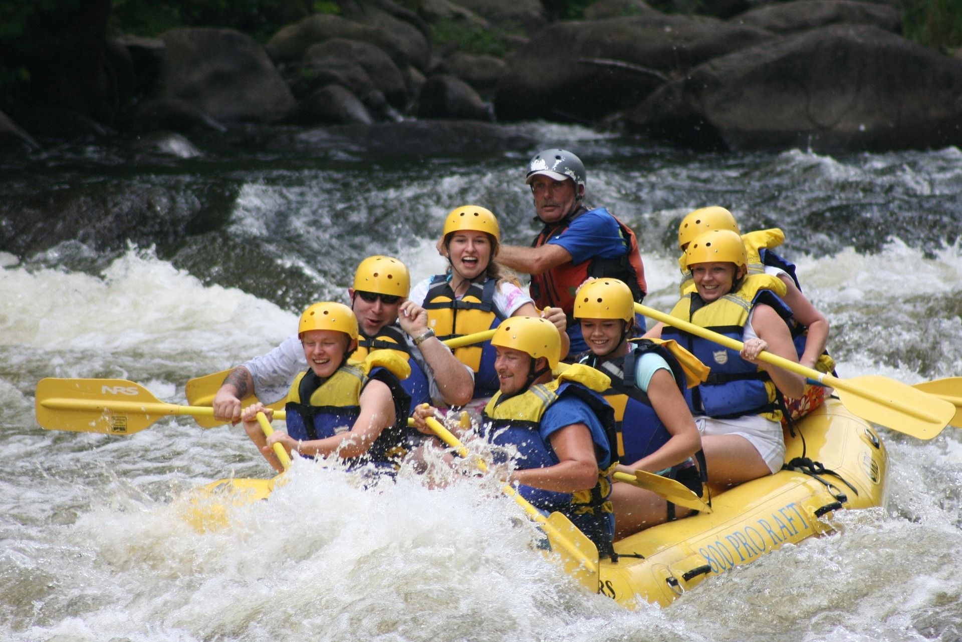
There is no dam release on the Cheat. The canyon is fed by rain and snowmelt, which means the season is short, unpredictable and peaks in spring, and it means the whole planning exercise is different from booking a Gauley trip against a published autumn release schedule. Commercial trips run in spring when flows cooperate. That phrase is doing real work: cooperate is a condition, not a calendar. Statewide, the rafting season is reckoned April through October, but the canyon's own window is a spring window, and a dry March can shorten it to almost nothing.
Plan accordingly. Hold the dates loosely, watch the level at Albright in the days beforehand, and have a second reach or a second activity in mind if the river comes up short or comes up too far. Hardwood snowmelt and spring storms are what fill this gorge, and neither is bookable. If you want moving water on a fixed date months out, this is the wrong river in the state to pick; if you want the canyon, take the weather you are given and go when it arrives. The upside of a rain-fed river is that nobody can crowd a release weekend onto it, so the canyon rarely feels scheduled.
Put-in, take-out and the campground
A Cheat River rafting trip through the canyon starts at Albright, in Preston County. Friends of the Cheat does not publish facilities or a fee for it — treat it as a launch, not a base. The take-out is the Jenkinsburg Bridge, which has been owned by the West Virginia Land Trust since 2020 and is co-managed with Friends of the Cheat. What the access record says about Jenkinsburg is short and useful: the road is maintained and the bridge remains open. Jenkinsburg doubles as a put-in for the Class III reach that continues from there down to Cheat Lake, so the same lot serves two different trips.
For a base at the Albright end, Friends of the Cheat runs a riverside campground at 139 Beech Run Road in Albright. It is primitive by design, and the published facilities are exactly that: vault toilets, potable water, designated primitive sites only, no hookups and no generators. The fee is $20 per site per day for up to four people, or $10 for members, paid at the back-gate station. That is the published price and the published list of amenities — nothing about showers or electricity appears in it, so do not plan around either.
For contrast, the developed access on this river is upstream on the Narrows, not in the canyon. The Cheat River Trailhead at 10922 River Road in Kingwood carries accessible parking, wayfinding signage, rest areas, water bottle filling stations and the Keith Pitzer Memorial Pavilion, and it is open dawn to dusk. Nothing at either end of the canyon run is built to that standard, and the access records say so plainly rather than leaving you to find out. Bring your own water, plan your own toilet stops, and expect a lot and a river. The one useful consequence is that a group with mixed appetites can send drivers to the developed trailhead upstream and still meet the boats the same afternoon.
What the access managers warn about
The access records carry cautions that can wreck a shuttle plan, and they are worth reading before you load boats. One concerns The Caves, also called YaYa's Landing, in the Cheat Narrows. It was acquired in 2025, but its concrete stairs and raft slide are not built and its expanded parking is still planned. Friends of the Cheat has put the remaining cost at about $570,000. Until that work is done, do not build a shuttle around it. A site that exists on a map and does not yet exist on the ground is the most expensive kind of mistake to discover with boats on the roof.
The other concerns Big Sandy Creek, the tributary that draws hard-water paddlers to this same corner of Preston County. The Rockville bridge has been closed since August 2020. The river-left approach needs a high-clearance vehicle and crosses private land; the Pisgah side road is in better condition and is the one to use. Neither approach is a casual drive in a low car, and one of them puts you across someone's property. If your group is splitting between the canyon and Big Sandy, sort the vehicles out before you leave, not at the gate. These records are revised as work gets done and roads change, so check them again close to your date.
Easier water on the same river
If the canyon is more than you want, or the level is wrong for it, the Cheat has quieter reaches. The Narrows, above the canyon, is Class II–III: Rowlesburg to the Cheat River Trailhead at Kingwood is the run, and The Driveway along Route 72 is the put-in — a carry-down on an easy sloped path with the largest parking area on Route 72, with further parking work planned. Further upstream, Holly Meadows Bridge to Riverview Lounge is Class I–II through Seven Islands, which is float water rather than whitewater.
Below the canyon, Jenkinsburg Bridge to Cheat Lake is Class III and ends on flatwater. Cheat Lake itself is a 1,730-acre impoundment about 13 miles long just east of Morgantown, with boat access and a shoreline trail along the western shore, and mornings are the calm part of the day for paddling it. That makes a reasonable pairing for a mixed group: the strong paddlers take the canyon, everyone else meets them at the lake. It is also the fallback when the gauge at Albright reads too low for the gorge to be worth the shuttle, since flatwater does not care about the level. The Class III reach out of Jenkinsburg is the middle option, and it starts from the lot the canyon trip ends in.
Reach people planning this trip
Placement alongside guides for outfitters, guides, shops and lodging.
List your business hereQuestions
What class is the Cheat River Canyon?
How long is the Cheat Canyon run?
When is the Cheat Canyon rafting season?
Where can I camp for a Cheat Canyon trip?
Is there easier whitewater on the Cheat?
Can I use The Caves access on the Narrows?
Read next
 Best of · Mountaineer Country
The Best Hikes at Coopers Rock State Forest
All six Coopers Rock trails with the state's own mileages and ratings, where each one starts, and which walk replaces the closed overlook.
8 min read · October
Destination · Mountaineer Country
Things to Do Outdoors in Morgantown, West Virginia
A survey of what a Morgantown base actually reaches: 48 miles of rail-trail, a 12,747-acre forest, Cheat Lake, new singletrack and the Cheat itself.
9 min read Guide · Mountaineer Country
The Mon River Rail-Trail System: A Complete Guide
How three trails make 48 miles of crushed limestone: the Caperton riverfront, the run north to Pennsylvania, and the 19-mile Deckers Creek climb.
8 min read · May