
Every organization we link to: local tourism offices, the state and federal agencies that manage the land, the nonprofits and clubs that keep access open, and the universities doing the research.
West Virginia has roughly 1.5 million acres of public land and a handful of places that carry almost all of the attention. The consequence is that a great deal of very good ground sits nearly empty, usually for one of three reasons: nobody has heard of it, the road in is gated or rough, or it is undeveloped and has nothing to advertise. Those are the places below — of them across regions.
Almost Heaven Swings

The 2.4 miles, end to end
Endless Wall is a point-to-point trail, 2.4 miles from one trailhead to the other, and it runs along the top of the gorge rather than into it. Most of that distance is closed-in walking through hemlock and rhododendron, so the trail reads as woods first and cliff second. Partway along, it crosses Fern Creek on a footbridge.
The gorge below has been cut roughly 1,000 feet deep through Nuttall sandstone, and the New River corridor has been a national park and preserve since 2020, with 53 miles of the river protected. None of that depth is visible for long stretches of the walk. The rim trail stays on top, and the views arrive at breaks in the canopy and at the rock outcrops.
The park record for this trail gives the distance, the surface features and the destination, and nothing about elevation change or an official difficulty rating. If you need a grade profile before committing a group to it, ask New River Gorge National Park and Preserve rather than reading one off a map.
Diamond Point, and what you see from it
Diamond Point is the named overlook and the reason most people walk this trail. It is an exposed rock outcrop on the rim, and the view from it runs up the gorge to the bridge.
Because the trail spends so much of its length enclosed, the outcrops carry the whole visual payload of the hike. Photographers work them for that reason, and Diamond Point above all others.
Light does two separate things here. In the morning the sun lands on the far wall of the gorge; in the evening it sits behind the bridge and backlights it. Those are two different photographs and two different trips, and the record does not tell you when the sun clears the far rim at any given time of year.
Fern Creek, Nuttall, and the shuttle problem
A point-to-point trail with a car at one end forces a decision. The two standard answers are to park at Fern Creek and walk the road back to close the loop, or to leave a second vehicle at Nuttall and walk the trail one way.
The third answer is to treat it as an out-and-back, which puts the mileage at 4.8 and gives you Diamond Point twice, in different light if you time it. That is the simplest version for anyone traveling alone.
The record does not publish the road distance between the two trailheads, and it does not state how many cars either lot holds. Both matter on a fall weekend. The park is the place to ask.
Ladders off the rim, and unprotected edges
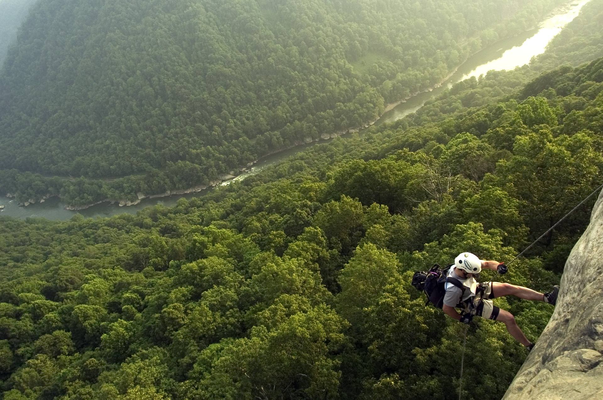
Climber access ladders drop off the rim along this trail. They exist because the climbing is below the hiker, on the wall itself, and the way down to it is over the edge. That arrangement is exactly what makes the top of the cliff hazardous for people who are not climbing.
The edges here are exposed and have nothing between you and the drop. Stay back from them. If you are carrying a tripod, set it well in from the lip rather than at it, and keep children and dogs under close control near the outcrops.
The record names no railings, fencing or barriers at the overlooks, and it does not state a leash rule for the trail. Do not assume either way — check with the park before you bring a dog or a group of kids.
The wall below the trail
The Endless Wall is the cliff, not the path. It is a continuous band of Nuttall sandstone below the rim holding a large concentration of established sport climbing routes, and it is the feature the trail is named for.
Across the gorge as a whole there are more than 1,600 established routes, the largest concentration of sandstone climbing in the eastern United States. That density is why the ladders are there and why you will meet people carrying rope on a trail that reads like an easy woods walk.
The climbing season here runs roughly March through November, and this is not beginner rock. The record gives no route count for the wall itself, no grade range and no information on the condition of fixed gear. Anyone planning to climb should get that from the park or from climbers who have been on it recently.
Planning around what the record leaves out
Nothing in this trail's record covers fees, gate hours, restrooms or drinking water at either trailhead. The trail sits inside a national park and preserve, so the National Park Service is the authority on all of it, and the official page is nps.gov/neri.
Runners treat 2.4 miles of rim trail as a short outing, doubled out and back or shuttled one way to Nuttall. The footbridge over Fern Creek, the exposed rock at Diamond Point and the ladder openings on the rim are all reasons to slow down rather than open up.
If you are building a longer stay around this hike, the region gives you more within the same corridor. The Gauley River immediately north runs on scheduled autumn dam releases from Summersville Lake, which is a separate trip with its own calendar.
Reach people planning this trip
Placement alongside guides for outfitters, guides, shops and lodging.
List your business hereQuestions
how long is the endless wall trail?
how hard is the endless wall trail?
what is the best view on the endless wall trail?
are the ladders on the endless wall trail safe for hikers?
Read next
 Best of · New River Gorge
The Best Hikes in New River Gorge National Park
Fifteen New River Gorge hikes ranked by what you get for the effort, with NPS distances, parking notes, and the one classic trail that is closed until 2027.
10 min read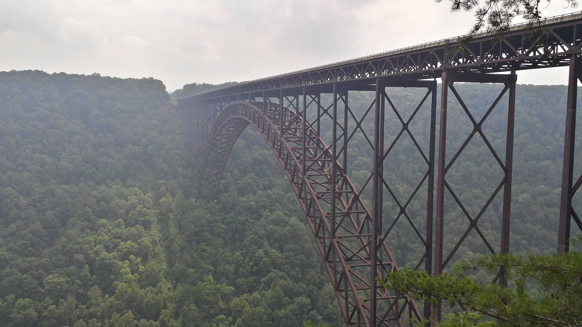 Destination · New River Gorge
Things to Do in New River Gorge National Park
A complete guide to New River Gorge National Park: the best hikes, whitewater, climbing and overlooks, plus where to base yourself and when to come.
12 min read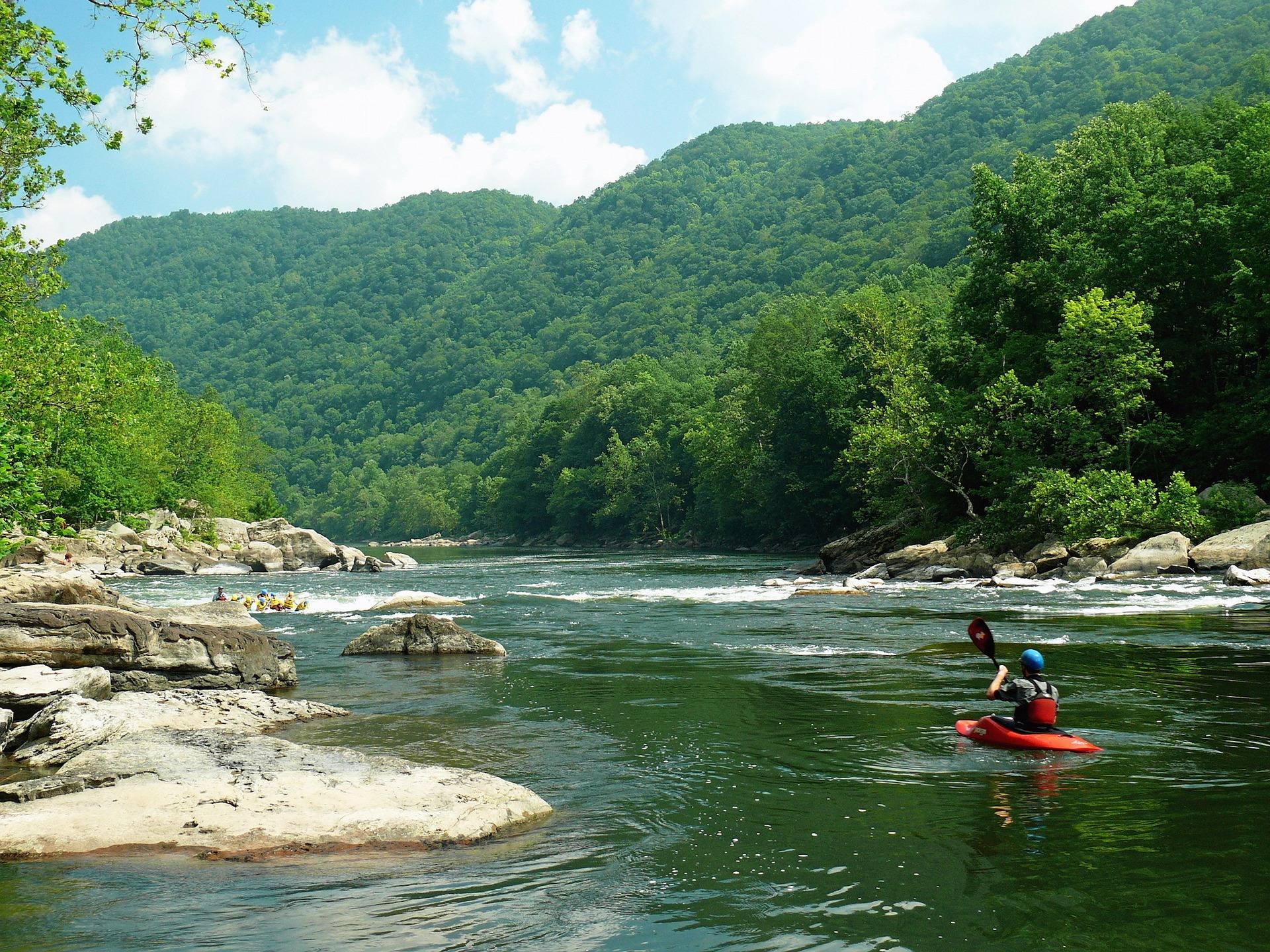 Destination · New River Gorge
Things to Do in Fayetteville, West Virginia
A local guide to Fayetteville, West Virginia: the best hikes and overlooks nearby, rafting and climbing outfitters, and why it is the best gorge base.
8 min read