
Every organization we link to: local tourism offices, the state and federal agencies that manage the land, the nonprofits and clubs that keep access open, and the universities doing the research.
West Virginia has roughly 1.5 million acres of public land and a handful of places that carry almost all of the attention. The consequence is that a great deal of very good ground sits nearly empty, usually for one of three reasons: nobody has heard of it, the road in is gated or rough, or it is undeveloped and has nothing to advertise. Those are the places below — of them across regions.
Almost Heaven Swings
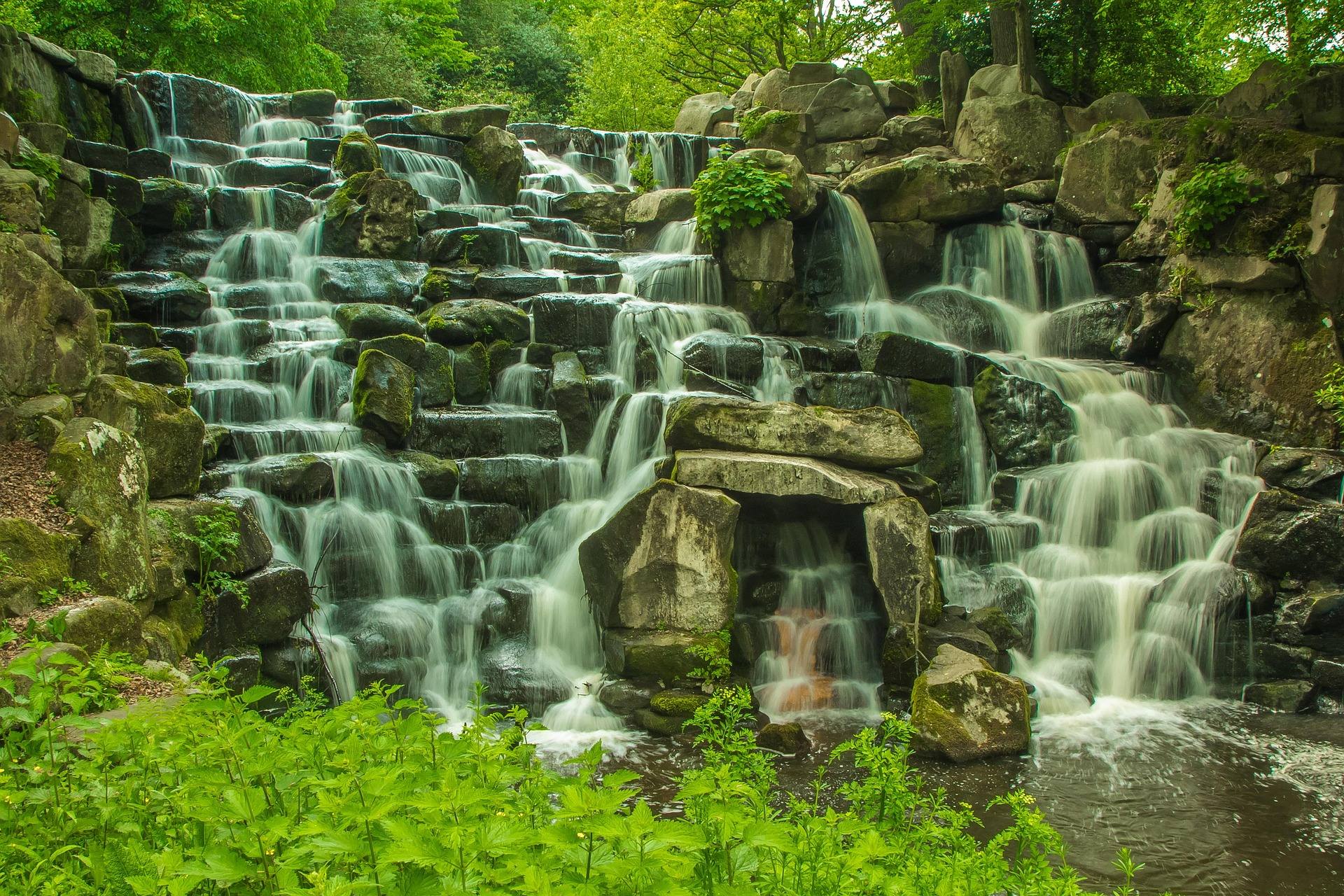
Twin Falls Resort State Park: A Complete Guide
Two waterfalls on two separate forks, a paved path to the nearer one, and a lodge with a restaurant at the trailhead — this is the unit in the southern coalfields that asks the least of a visitor before it shows them something.
Where the park is and what is on the grounds
Twin Falls Resort State Park covers 3,776 acres in Wyoming County, outside Mullens, and the name is literal: two waterfalls, one on Marsh Fork and one on Black Fork, on separate streams inside the same park. West Virginia State Parks runs a lodge, a golf course and a campground here, which makes it a different kind of unit from the state forests in the counties around it. You can arrive without a tent, without a stove and without much of a plan, and still end the day with a bed and a trailhead in the same parking lot. The Pioneer Farm interpretive site sits on the grounds, and there is a disc golf course.
What the park is not is remote. It sits close to several Hatfield-McCoy trail systems, and a fair share of the vehicles in the lot on a Saturday in June arrived with a machine on a trailer behind them. That shapes the rhythm of the place more than the map suggests: engines leaving in the morning, engines returning in the late afternoon, and a restaurant that is busiest when they get back. Hikers and riders share the park without much friction. If you came for quiet, walk the trails in the middle of the day, when the trailers are gone and the ridges above the falls belong to whoever climbed them.
The walk to the two waterfalls
Falls Trail is the reason most first-time visitors get out of the car at all. It runs 1.25 miles, rated moderate, paved as far as Marsh Fork Falls and unpaved from there to Black Fork Falls, with the return on an old park road. That paved section is the shortest paved approach to a waterfall in the southern coalfields, which makes it the part of the park that works for people who are not hikers — a stroller, a bad knee, a grandparent who wants to see the water and not the ridge. West Virginia State Parks does not publish an elevation figure for the trail, so there is no climb number to plan against.
Past Marsh Fork the tread turns to dirt and the walking becomes ordinary hiking. Both forks run on rain rather than on a scheduled release, so the falls are loudest after a wet week and thinnest at the end of a dry August; spring melt and summer storms put the most water over each of them. The unpaved half holds mud for a day or two after rain, which matters less for the surface itself than for footing on the way back down. Hardwood forest closes over the entire walk, which makes it a shaded errand in July and a bare, bright one in November.
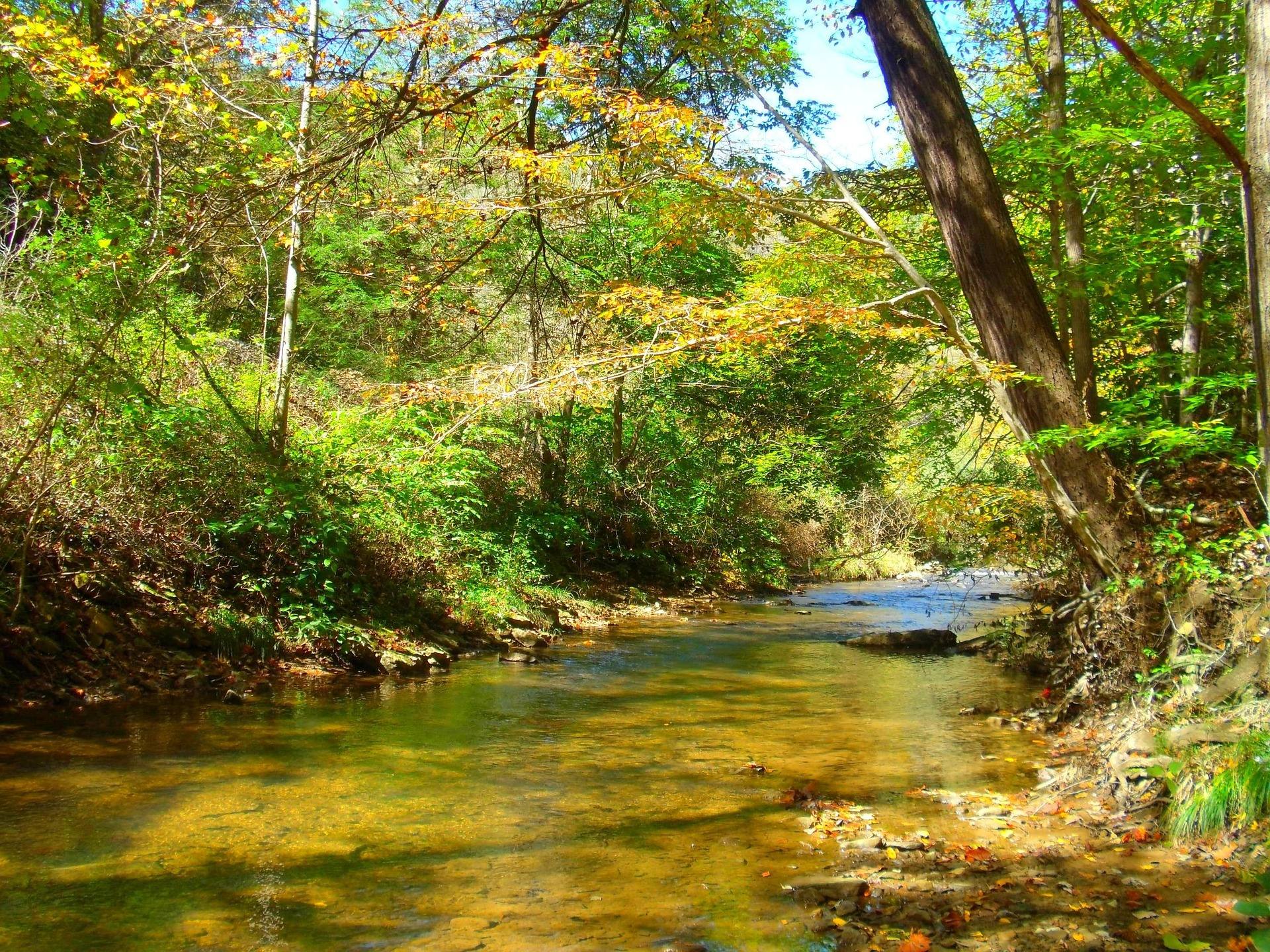
The longer trails behind the falls
Three loops climb away from the waterfall corridor, and the park publishes distances for all of them. Pathfinder Trail is 2.5 miles with about 500 feet of gain, rated moderate, a ridge route that passes through several different forest types on the way. Poke Hollow Trail is 3.5 miles with about 450 feet of elevation change, also moderate, reaching the highest point in the park and passing two cemeteries before dropping to follow a creek. Cliffside Trail is 3.5 miles, rated moderate to difficult, with two vistas on the outer loop and a stretch of rhododendron thicket. The agency does not publish surface descriptions for Pathfinder or Poke Hollow; on Cliffside it lists the outer loop as rocky.
There is no published elevation figure for Falls Trail or for Cliffside Trail, so plan those two by distance and by what the tread does rather than by climb. Rhododendron here is thick enough that leaving the trail is never a shortcut — the same thicket that makes the Cliffside vistas feel earned turns off-trail travel into slow, scratching work. In autumn, hunting seasons overlap the best hiking weather this part of the state gets. Blaze orange is the standard precaution on the wildlife management areas nearby, and wearing it on park trails in October costs nothing and settles the question.
Sunset from Still Run Ridge
Still Run Ridge is a day hike of rolling ridge walking through forest and open field, and it is one of the few viewpoints in West Virginia that the managing agency explicitly recommends for sunset. Take the recommendation literally, because most overlooks in the state come with a gate hour that closes before the light is finished. This park is open 24 hours a day, so there is no gate to beat and no road being locked behind you while you wait for the color to go. Carry a headlamp anyway: the walk back through mixed forest and field goes dark well before the sky does.
Cliffside Trail adds two more vistas if you want more than one view in the same day. Between them, the ridges above the park give an honest reading of what this end of West Virginia looks like from above — hardwood ridge behind hardwood ridge, broken by the openings that old road grades and reclaimed ground left behind. Neither viewpoint is a cliff-edge spectacle, and the park does not sell them as one. Cold mornings hold fog in the hollows long after the ridge tops have cleared, which is the other hour worth climbing for. Late October puts color across the whole of it.
Camping and lodging at Twin Falls Resort State Park
The campground runs on the state's April through October camping season, and sites are booked through the West Virginia state park system rather than through a federal reservation site. State park sites open for booking a year out, and the parks that fill first are exactly the ones with lodging, water and a golf course attached, which describes this one precisely. If you want a Saturday in June, deciding in May is late. Site counts and nightly rates shift from season to season and are not worth taking from any guide, this one included — get them from the park itself before you commit to a plan.
The lodge is why a lot of people choose this park over the state forest units in the neighboring counties. It puts a room, a restaurant and a trailhead in one place, which is a practical advantage rather than a luxurious one: a group with mixed appetites for roughing it can stay together instead of splitting between a campground and a motel an hour away. Rooms and cabins go through the same state park booking system as the campsites, on the same year-ahead window. Winter is quieter and colder, and what stays open at a resort park in January is a question for the park rather than for a guidebook.
Riding and fishing from the park
Riders base here because the park sits close to several Hatfield-McCoy trail systems while offering conventional lodging. The system as a whole runs more than a thousand miles across former coal land in these southern counties, divided into nine or more named systems, and every rider needs a Hatfield-McCoy permit — bought online before you arrive, or from a local vendor once you are here. Difficulty is color-coded, and the green systems are the ones that suit side-by-sides and beginners. Helmets are required statewide for riders under 18. None of that is administered by the state park; the trails and the permits belong to the Hatfield-McCoy Regional Recreation Authority.
Several towns in these counties passed ordinances that let machines run on public streets, so riders reach fuel, food and lodging without loading a trailer between rides. That is a regional convenience rather than a park feature, and it is worth knowing before you decide whether to stay inside the park or in a town. What the park adds is the ordinary stuff a long riding weekend needs: a place to eat that is not a cooler, hot water, and trails you can walk on a rest day without starting an engine.
Fishing is the other thing to do here without going far. WVDNR handles licensing and regulations, and a trout stamp is required in addition to a fishing license on stocked trout water. The agency posts each day's stockings by the end of that business day and does not release the schedule in advance, so a trip cannot be planned around a stocking truck; you check what happened yesterday and decide in the morning. When a front sits on the ridge and the trails are running mud, the Pioneer Farm interpretive site and the disc golf course are what is left, and both are on the grounds.
Reach people planning this trip
Placement alongside guides for outfitters, guides, shops and lodging.
List your business hereQuestions
How long is the Falls Trail at Twin Falls Resort State Park?
How big is Twin Falls Resort State Park?
What is the hardest hike in the park?
Can you camp at Twin Falls Resort State Park?
Is Twin Falls a good base for riding the Hatfield-McCoy Trails?
Where do you watch the sunset at Twin Falls?
Read next
 Destination · Southern Coalfields
The Hatfield-McCoy Trails
A guide to the Hatfield-McCoy Trails: the individual trail systems, permits, difficulty, ATV-friendly towns and how the network is organised.
8 min read Destination · Southern Coalfields
Things to Do in Gilbert, West Virginia
A rider's survey of Gilbert, West Virginia: street-legal riding, Hatfield-McCoy permits, elk country nearby, and where to sleep and fish.
7 min read
Guide · Southern Coalfields
Riding the Rockhouse Trail System
How riding Rockhouse works: what the tread is like, the permit every rider needs, the street-legal trail towns it links, and where to sleep.
6 min read · September