
Every organization we link to: local tourism offices, the state and federal agencies that manage the land, the nonprofits and clubs that keep access open, and the universities doing the research.
West Virginia has roughly 1.5 million acres of public land and a handful of places that carry almost all of the attention. The consequence is that a great deal of very good ground sits nearly empty, usually for one of three reasons: nobody has heard of it, the road in is gated or rough, or it is undeveloped and has nothing to advertise. Those are the places below — of them across regions.
Almost Heaven Swings

Understand the driving first
The Potomac Highlands look small. They are not, in time terms. Roads follow ridges and river valleys, there are very few straight lines, and the last few miles to the best places are frequently unpaved forest road. Forest Road 75 into Dolly Sods is the classic example — a short distance that takes far longer than it looks and is not maintained in winter.
Plan on one major thing per day plus one small thing, and base in two places rather than three.
Day one: Davis and Blackwater Falls
Base in Davis. Spend the morning at Blackwater Falls State Park: the main falls by boardwalk and stairs, Elakala Falls from the lodge, and Pendleton Point for the widest canyon view with no walking.
In the afternoon, walk part of the Blackwater Canyon Rail Trail down the gorge, or drive out to Douglas Falls near Thomas for a wide curtain of water with coke ovens behind it.
Be at Lindy Point for sunset. It is a short walk through spruce to a railed ledge above the canyon and it is the most photographed viewpoint in West Virginia. The platform is small — go early in October. Eat in Thomas afterwards.
Day two: Dolly Sods
Give the whole day to it. Drive Forest Road 75 to Bear Rocks Preserve for the plateau's northern edge — heath barrens, wind-flagged spruce and the Allegheny Front dropping away east. Then walk south along the rim as far as suits you.
If you want more, the Red Creek and Blackbird Knob combination gets you into the interior with a creek crossing. Take the navigation seriously: wilderness trails here are unblazed and unsigned by policy, fog arrives fast, and the plateau looks identical in every direction when it does. Carry a paper map and compass.
In late summer this is blueberry country. Stay on rock and established paths — the heath and sphagnum recover over decades, not seasons.
Day three: Seneca Rocks and Spruce Knob
Move south. Seneca Rocks is a quartzite fin standing roughly 900 feet above the North Fork, and the discovery-center side gives the full profile from the valley floor. A trail climbs to an observation platform below the summit; the summit itself is technical climbing only. Nelson Rocks nearby has a via ferrata if you want exposure without being a climber.
Then drive up Spruce Knob, the highest point in West Virginia at 4,863 feet, with an observation deck and the half-mile Whispering Spruce loop through one-sided trees at the summit. The road is not maintained in winter.
If you have energy left, the Seneca Creek valley below holds one of the best walks in the Monongahela, ending at Seneca Falls, and it is wild brook trout water.
Alternatives and add-ons
With a fourth day: the Highland Scenic Highway (WV 150) south through the Cranberry backcountry with its four overlooks, the Falls of Hills Creek — three waterfalls on one short trail — and the Cranberry Glades boardwalk.
In winter this becomes a completely different trip: Timberline and Canaan Valley for downhill, White Grass for Nordic and backcountry, and canyon walking under snow. Several forest roads close, so the Dolly Sods day is not reliably available.
The Greenbrier River Trail and Cass Scenic Railroad are both within reach if you want a flat day or a steam train up Back Allegheny Mountain to Bald Knob.
What to bring
Waterproof footwear that you accept will eventually fail, a paper map and compass for the wilderness areas, more layers than the forecast suggests because the plateau makes its own weather, and blaze orange if you are here from late October into December when hunting seasons are open.
Fill the tank in Davis or Petersburg. Services in between are sparse, and cell coverage is unreliable to nonexistent across much of the high country — the National Radio Quiet Zone around Green Bank makes that official in one corner of it.
Reach people planning this trip
Placement alongside guides for outfitters, guides, shops and lodging.
List your business hereQuestions
How many days do you need in the Potomac Highlands?
Where should I base myself in the Potomac Highlands?
Can you drive to Bear Rocks and Spruce Knob?
Is there cell service in the Potomac Highlands?
Read next
 Destination · Potomac Highlands
Hiking Dolly Sods
A practical guide to hiking Dolly Sods Wilderness: the main trails, route options, why it is navigationally serious, and how to reach Bear Rocks.
9 min read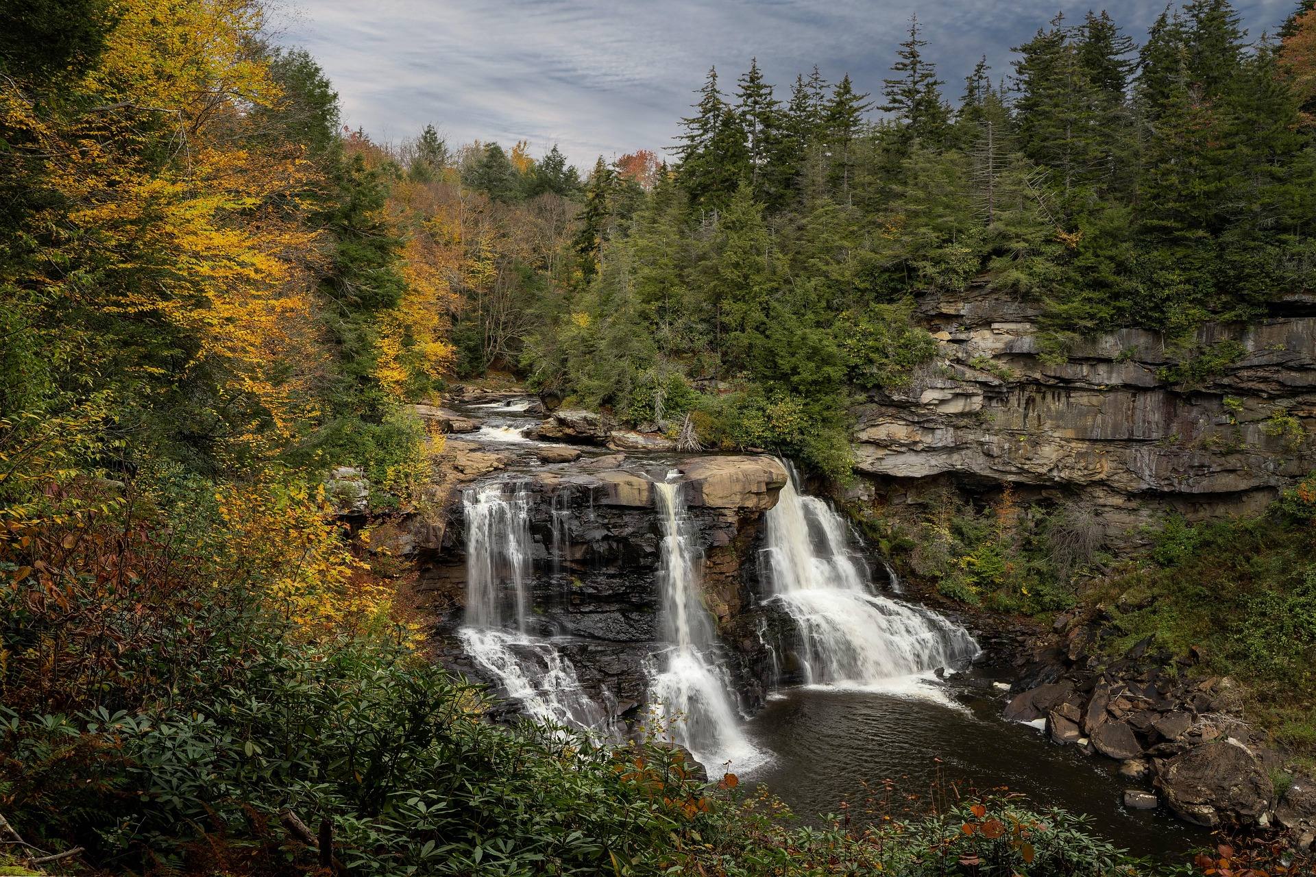 Destination · Potomac Highlands
Blackwater Falls State Park
A complete guide to Blackwater Falls State Park: every waterfall and overlook, Lindy Point at sunset, the trails, lodging and the best season to visit.
8 min read · October Best of · Potomac Highlands
Skiing and Snowboarding in West Virginia
West Virginia ski resorts compared: Snowshoe, Timberline, Canaan Valley and White Grass, plus Nordic skiing, snow tubing and the snowiest corner of the state.
8 min read · February