
Every organization we link to: local tourism offices, the state and federal agencies that manage the land, the nonprofits and clubs that keep access open, and the universities doing the research.
West Virginia has roughly 1.5 million acres of public land and a handful of places that carry almost all of the attention. The consequence is that a great deal of very good ground sits nearly empty, usually for one of three reasons: nobody has heard of it, the road in is gated or rough, or it is undeveloped and has nothing to advertise. Those are the places below — of them across regions.
Almost Heaven Swings
Where Sutton sits
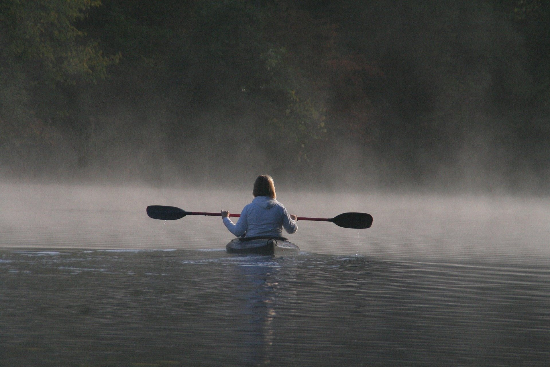
Sutton is in Braxton County, at the geographic center of West Virginia and just off I-79. Nearly all the things to do in Sutton, WV involve water within a few minutes of town: a Corps of Engineers reservoir sits behind the dam, the Elk River runs out cold below it, and a developing rail-trail and water-trail corridor follows the river downstream. The Mountain Lakes region around it is the least-visited part of the state, with three major Corps reservoirs, several state parks, a state forest and, most weekdays, almost nobody at any of them.
That makes Sutton a base more than a destination in itself. The region spans eight counties — Braxton, Webster, Nicholas, Clay, Calhoun, Gilmer, Lewis and Upshur — and the towns named alongside Sutton are Summersville, Weston, Webster Springs and Clay. Services are the thing to plan around. Outfitters, rentals and shuttles are thin here in a way they are not in the New River Gorge, so bring the boat, the rod, the bike and the food you need. What this region has instead of infrastructure is water, public land and no competition for either.
Flatwater on the reservoirs
Flatwater paddling in West Virginia runs April through October and is beginner-level water, and the Corps reservoirs are why: they hold reliable water when the rivers are too low or too high. The closest is the 1,440-acre lake behind Sutton Dam, with several campgrounds and a shoreline broken into quiet coves. Reservoir levels are published by the Army Corps district office, and that matters more here than on most lakes, because the level fluctuates with flood control operations. Check it before you hitch up rather than finding out at a ramp standing above the water.
Burnsville Lake, on the Little Kanawha, is 968 acres of quiet, underused water with the Bulltown Historic Area on its shore — Civil War earthworks and a preserved farmstead — and Bulltown Campground, one of the better Corps sites in the state. Bulltown and Big Ditch are the region's quiet-water paddling in the truest sense: put in and you may not see a motorboat all day. If you are trailering an engine, horsepower limits vary by lake and are worth checking before you leave, and registration and education requirements are set by WVDNR.
Fishing, from brown trout to muskie
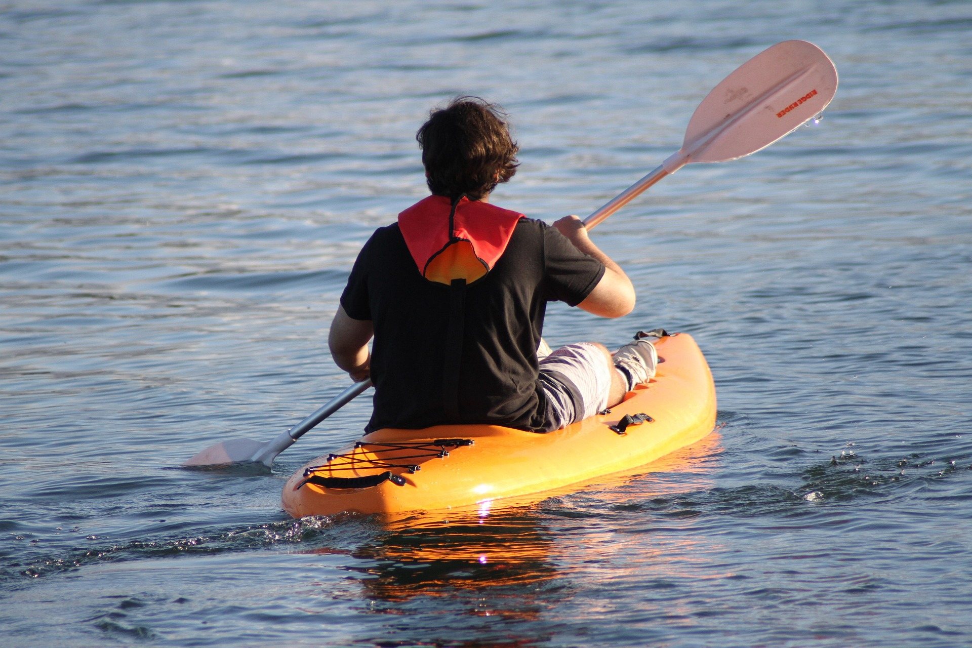
The fishing here is unusually varied for one stretch of one county. Below the dam the Elk is a cold tailwater year-round, holding wild and holdover brown trout and a celebrated catch-and-release section that draws anglers from several states — check the dam release schedule before you wade it. Above the dam the lake holds bass, muskie and catfish. Downstream, past Clay, the river warms into smallmouth water that is excellent and lightly pressured. The state's fly fishing season runs March through November at an intermediate level, a fair description of the Elk.
For fishing that does not require reading a river, Cedar Creek State Park in Gilmer County has three small fishing lakes stocked with trout in season, and Holly River State Park has trout stocked in Left Fork. Burnsville Lake is excellent muskie water. Kumbrabow State Forest holds native brook trout in Mill Creek, which is light-tackle and small-fly fishing. USGS river levels will tell you whether a stream is worth the drive before you make it, and in country this empty that is the whole difference between a fishing day and a scenic drive.
Floating the Elk in summer
From June through September the Elk below Sutton is a float rather than a fishery. It is rated Class I–II, cold out of the dam and pleasant further down, running through some of the emptiest country in the state. Two cautions come with it. The upper end is trophy trout water, so expect anglers and give them room. And commercial support down there is thin to nonexistent, which means self-supported floating, with your own boat and your own shuttle. Dam releases change this river fast, so settle the takeout before you put in.
A water trail is being developed on the river alongside the rail trail, and for anyone floating here that is the change that matters. The corridor runs close to the water between Clendenin and Gassaway, which makes it the easiest bank and boat access on the Elk and turns an awkward shuttle into a workable one. Sections open progressively. Upstream is a different river: above Webster Springs the reaches run Class II–III, and above Elk Springs the Elk drops underground in limestone, so the top of it is not the reliable water a map suggests.
Things to do in Sutton, WV, without a boat
The rail-trail corridor along the Elk is the walking and riding answer. Seventy-three miles are planned between Clendenin and Gassaway on old railroad grades that follow the river the whole way; the corridor is open 24 hours and the trail office is at 12 Buffalo Creek Road in Clay. Rail-trails are the most accessible outdoor recreation in the state, with grades that rarely exceed 2 percent, so this is a gravel ride or a flat walk rather than a climb. It is also remote, with long stretches between services, so carry your own water.
For hills, Holly River State Park is the real hiking here. It is West Virginia's second-largest park at 8,101 acres, in a narrow valley of hemlock and hardwood with waterfalls, cabins and trails that are steep and rough by state park standards. There is also a paved, ADA-accessible loop with Braille interpretive signs. Hiking here is year-round, but autumn overlaps hunting seasons — wear blaze orange on wildlife management areas — and in the national forest backcountry south of here, trails are often lightly blazed, so carry a map and GPS.
Day trips out of town
Kumbrabow State Forest is the highest state forest in West Virginia, 9,474 acres of red spruce and northern hardwood on Rich Mountain, with rustic cabins, native brook trout in Mill Creek and almost nobody there. It stays cool even in August, which is the month to use it. The cabins are rustic enough that cold-season use means heating with wood, and the access roads are gravel and can be rough. Go with a full tank, tires you trust and no fixed schedule, and treat it as the place you spend a day rather than pass through.
Cedar Creek State Park, 2,483 acres in Gilmer County, has three small fishing lakes, a campground, disc golf and a network of easy trails, and it is very quiet outside summer weekends. Audra State Park is a compact 355 acres on the Middle Fork River, built around a boulder-strewn swimming area and the Alum Cave boardwalk, which runs beneath an overhanging rock shelter above the river. The water there is cold and the river bottom is all rounded boulders, which is worth telling anyone who plans to jump in from a height.
South of the region the Monongahela National Forest opens into the Cranberry Wilderness, which is backcountry rather than a day hike, and the Cranberry Glades boardwalk reaches sphagnum bog communities isolated since the last glaciation — carnivorous sundew and pitcher plants — without trampling them. Nearer in, a wide, near-level path circles a small hill to a stone overlook above Stonewall Jackson Lake, and Chipmunk Point adds a mile of level lakeside walking and prime hawk-watching. The overlook itself is almost entirely unpublicized for how easy a walk it is.
Seasons, camping and what the town will not sell you
The calendar here is straightforward. Boating and flatwater paddling run April through October. Fly fishing runs March through November, and the Elk tailwater is worth fishing at both ends of that because the water below the dam stays cold. The float below Sutton is a June-through-September proposition. Hiking is year-round, with the autumn hunting overlap as the only real caveat. Winter is when the region is emptiest and when the least is operating, so confirm that a campground, a cabin or a boat ramp is open before you build a weekend around it.
Camping is the practical way to do most of this. Bee Run and Gerald Freeman are the main campgrounds on the lake above town, Bulltown Campground sits on Burnsville Lake, and Holly River and Cedar Creek both have campgrounds of their own; Holly River and Kumbrabow have cabins. Beyond that, plan for a town where the things to do in Sutton, WV are outdoors and the support for them is not: fuel, groceries, ice and any gear you might need are better sorted out before you leave the interstate than looked for afterward.
Reach people planning this trip
Placement alongside guides for outfitters, guides, shops and lodging.
List your business hereQuestions
What is there to do in Sutton, West Virginia?
Is Sutton a good base for a weekend?
Can you rent a kayak or a tube near Sutton?
When can you float the Elk River below Sutton?
Which state parks are in the same region as Sutton?
Is the lake level above Sutton reliable?
Read next
 Guide · Mountain Lakes
Fly Fishing the Elk River
The Elk's cold tailwater below Sutton Dam, its wild browns and catch-and-release water, the sulphur hatch, smallmouth downstream and how to find access.
9 min read · May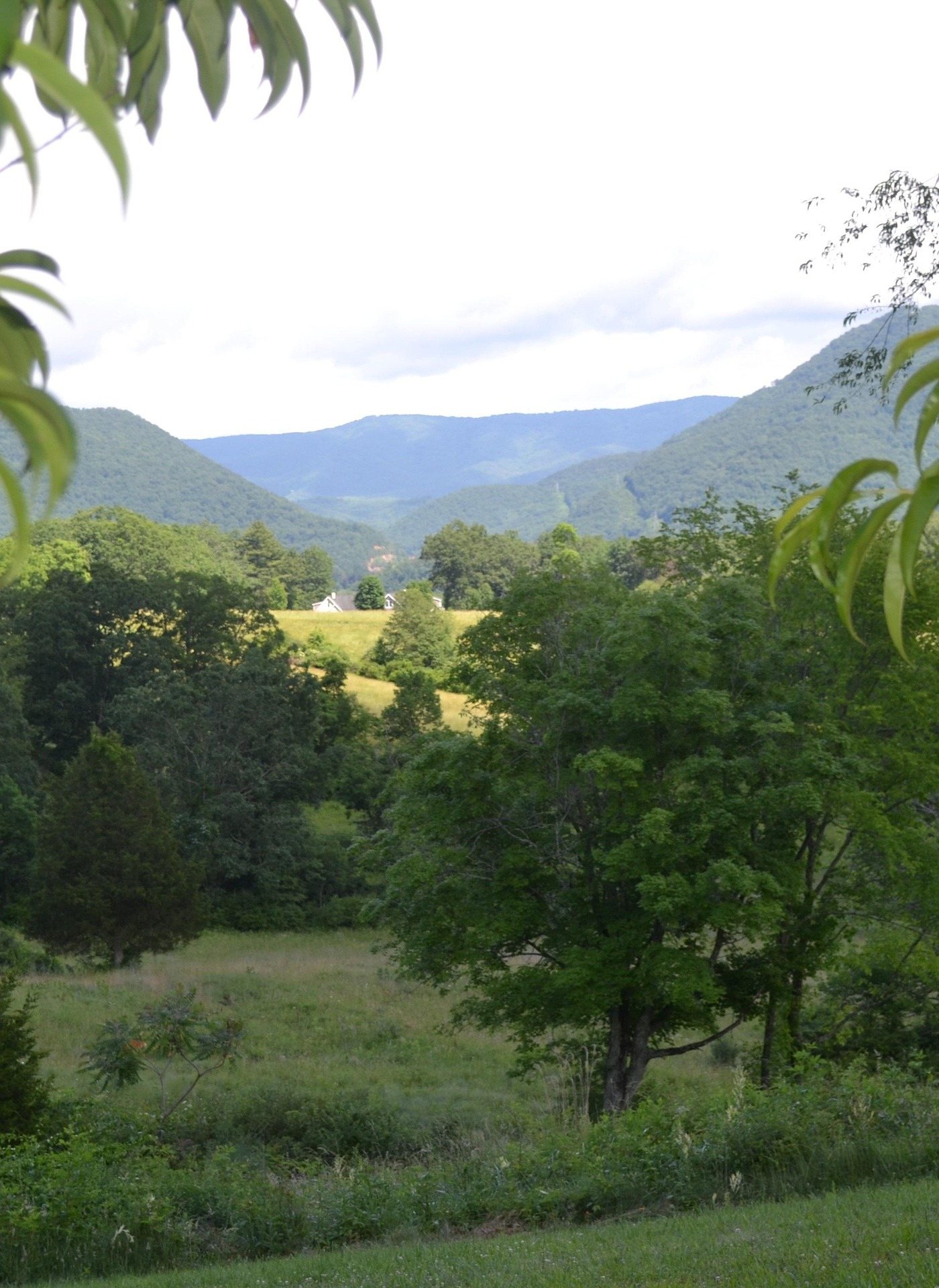 Best of · Mountain Lakes
The Best Hikes in Holly River State Park
Potato Knob, Railroad Grade, Tramontane, Reverie and the accessible Laurel Fork loop, trail by trail, with the lengths and ratings the park publishes.
9 min read · June
Destination · Mountain Lakes
Sutton Lake: Boating, Fishing and Camping
What the Corps manages at Sutton Lake, how the pool moves with flood control, where the two campgrounds are, and what the fishing holds.
7 min read · July