
Every organization we link to: local tourism offices, the state and federal agencies that manage the land, the nonprofits and clubs that keep access open, and the universities doing the research.
West Virginia has roughly 1.5 million acres of public land and a handful of places that carry almost all of the attention. The consequence is that a great deal of very good ground sits nearly empty, usually for one of three reasons: nobody has heard of it, the road in is gated or rough, or it is undeveloped and has nothing to advertise. Those are the places below — of them across regions.
Almost Heaven Swings
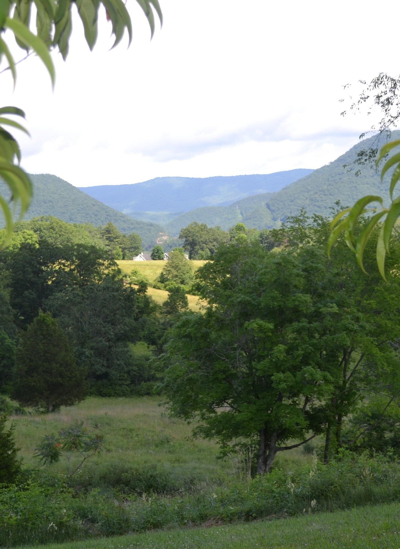
What the park publishes about its trails
Holly River State Park covers 8,101 acres in Webster County, second-largest in the West Virginia system, running along a narrow valley of hemlock and hardwood with waterfalls up the side hollows. Holly River State Park hiking is not what the phrase usually implies. The trails here are steep and rough, and the park's own ratings run to moderate or moderate-to-difficult on everything longer than its accessible loop. This is real hiking with a campground, cabins and a swimming area at the bottom of it, which is a rarer combination in this state than it sounds.
The park publishes lengths for its trails and, in nearly every case, no elevation figure at all. The exception is Potato Knob, where a 2,480-foot summit is given. Where a gain is not published, no figure is supplied here either — plan by length, by the difficulty rating and by what you can see of the valley walls from the campground. Potato Knob's mileage is one-way mileage, and the two longest trails are the longest state park trails in central West Virginia, so the turnaround point deserves a decision before you start walking.
Potato Knob Trail: 7.5 miles to a 2,480-foot summit
Potato Knob is the park's signature hike and its hardest. The park gives it 7.5 miles one way, rates it moderate to difficult, and puts the summit at 2,480 feet. It branches off the Wilderness Trail rather than starting from a parking area, so the first decision is how you reach the junction. No surface is published for it, and in a park its own managers call steep and rough, the fair assumption is a natural footpath rather than anything graded. It is a long day however you arrange it.
Two things justify the effort. Tenskwatawa Falls is one of the two waterfalls the park names as its trail highlights, and the summit is the high point of any hike here. Between them lies the section the park calls The Chute, which is the part people describe afterward and a good part of the reason for the difficulty rating. Because 7.5 miles is the one-way figure, an out-and-back doubles it. Decide in the valley whether you are walking to the falls, to the summit or the length of the trail, and tell someone which.
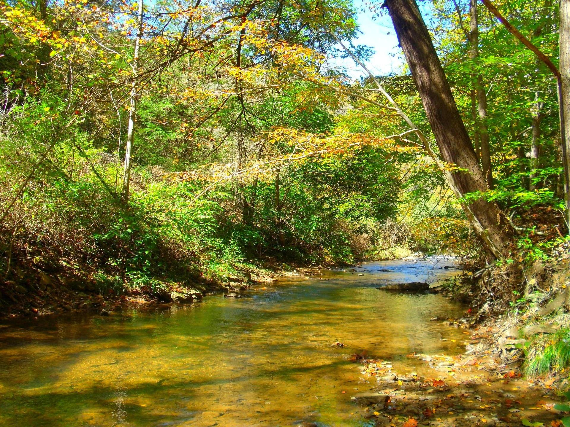
Railroad Grade Trail: 10 miles on an old logging grade
The Railroad Grade Trail runs 10 miles, the longest in the park, following an old railroad grade past rock formations. A rail grade suggests an easy walk, and this one is still rated moderate to difficult. Length does part of that work, and an abandoned logging grade in this country is not a groomed surface — grades wash, culverts fail and side drainages cut across. It starts where the Wilderness Trail crosses Crooked Fork, so again there is walking to do before the trail proper begins. No elevation gain is published for it.
This is the trail for distance rather than for a destination. The grade holds a steady line through the woods, the rock formations along it are the interest, and the miles accumulate without the sustained climbing Potato Knob demands. In June the valley is in full leaf, so the looking is close-range rather than long — the rock, the hemlock and the water beside the grade. Carry water for the whole distance and food for longer than you expect to be out. Nothing along ten miles of old railroad bed is going to sell you either.
Tramontane Trail and Mystic Falls
Tramontane is 2.5 miles, rated moderate, and reaches Mystic Falls at 2.3 miles. The park calls Mystic its hidden waterfall, and those two numbers explain why: nearly the whole trail comes before the payoff. That makes it one of the more honest short hikes in the park. You walk two and a bit miles to see one thing, the thing is worth the walk, and it is in no sense a stroll from the parking area. Anyone who tells you otherwise has probably not walked to the end of it.
No gain is published for Tramontane and no surface either. Treat it as a hike rather than a walk from the car, allow for wet rock as you get near the falls, and expect the falls themselves to look like a different feature in a wet week than in a dry one. Rhododendron and mountain laurel grow thickly enough through this country to make travel off the tread genuinely difficult, which is a reason to stay on it — for your own sake, and for what is growing beside it.
Reverie Trail to Tecumseh Falls
Reverie is 3.5 miles, rated moderate, and passes under Tecumseh Falls on the way to the park's primitive camping area. Walking beneath a waterfall is the reason to do it, and it also describes the footing: wet rock, spray and shade that keeps the ground damp long after the rain stops. The park publishes no gain for it. The destination at the far end matters as much as the mileage does, because if you are carrying a pack to the primitive site, this trail is the approach rather than a side trip.
Tecumseh and Tenskwatawa are two different waterfalls on two different trails, which is worth sorting out before you go looking for one and find the other. Upper Falls and Tenskwatawa Falls are the two the park names as its trail highlights; Mystic and Tecumseh are the two you reach on Tramontane and Reverie. A weekend here can be built entirely around moving water, which is what this valley offers in place of the long ridgetop views the eastern highlands are known for. Sort out which trail goes to which fall before leaving the campground.
Laurel Fork Trail: the accessible loop
Laurel Fork is the park's accessible trail — an asphalt loop rated easy, with rest stations and Braille interpretive signs. The trailhead is the island between the Activity Building and the Carpenter Pavilion, which puts it in the middle of the day-use area rather than out at the edge of the park. The trail listing gives its length as 0.4 miles while other park material describes it as a quarter-mile loop. It is a small discrepancy, but anyone planning around a wheelchair, a walker or a young child should count on the longer figure.
It is the one trail here that serves people the rest of the park effectively excludes, and it is also the trail for the afternoon the weather closes in or somebody has had enough. Paved surfacing with Braille signage is not common in the West Virginia park system, and this loop sits within sight of the park's facilities, so it functions as a real option rather than a gesture. Left Fork, in the same park, is stocked with trout, which pairs a short accessible walk with a rod for anyone inclined to fish.
Planning Holly River State Park hiking by season
Hiking in West Virginia is a year-round activity rated for all levels, but Holly River's trails are not all-levels trails: outside Laurel Fork, everything here is moderate or harder. June suits the park — full leaf, water still moving over the falls, and the worst of the year's heat not yet settled into a valley this shaded. Autumn is the other obvious window, with one caveat that applies across the state. Hunting seasons overlap the best walking of the year, so wear blaze orange on wildlife management areas and know whose ground you are on.
Wet weather changes this park more than it changes most. Steep, rough trails with waterfalls on them mean slick rock and mud, and the two long trails are long enough that turning back late costs real daylight. Rhododendron and mountain laurel make travel off the tread difficult, so a wrong turn is not casually corrected — carry a map and pay attention at junctions, particularly around the Wilderness Trail, where both long trails begin. Check current trail and facility status with the park through wvstateparks.com rather than assuming everything is open.
If the cabins and the campground are booked out, which happens, Kumbrabow State Forest is the other place in this region to walk in big timber. It is the highest state forest in West Virginia at 9,474 acres, red spruce and northern hardwood on Rich Mountain, cool even in August, with rustic cabins, native brook trout in Mill Creek and almost nobody there. Its access roads are gravel and can be rough, and cold-season use of the cabins means heating with wood, so the logistics need more planning than the walking does.
Reach people planning this trip
Placement alongside guides for outfitters, guides, shops and lodging.
List your business hereQuestions
What is the best hike in Holly River State Park?
How long is the longest trail in Holly River State Park?
Is there an accessible trail at Holly River State Park?
Which trails go to waterfalls?
How hard are the trails at Holly River?
When is the best time to hike at Holly River State Park?
Read next
 Best of
The Best Hikes in West Virginia
Thirty West Virginia hikes, from 400-foot overlook walks to the Dolly Sods traverse, ordered by effort rather than by fame.
11 min read Guide · Mountain Lakes
Fly Fishing the Elk River
The Elk's cold tailwater below Sutton Dam, its wild browns and catch-and-release water, the sulphur hatch, smallmouth downstream and how to find access.
9 min read · May Destination · Mountain Lakes
Things to Do in Sutton, West Virginia
Paddling, cold-water trout fishing, summer floats, rail-trail miles and the parks and forests around Sutton, at the geographic center of West Virginia.
9 min read