
Every organization we link to: local tourism offices, the state and federal agencies that manage the land, the nonprofits and clubs that keep access open, and the universities doing the research.
West Virginia has roughly 1.5 million acres of public land and a handful of places that carry almost all of the attention. The consequence is that a great deal of very good ground sits nearly empty, usually for one of three reasons: nobody has heard of it, the road in is gated or rough, or it is undeveloped and has nothing to advertise. Those are the places below — of them across regions.
Almost Heaven Swings

Where the North Bend Rail Trail runs
The North Bend Rail Trail is 72 miles of old Baltimore and Ohio grade running from Wolf Summit in the east to Parkersburg on the Ohio River. West Virginia State Parks manages the corridor, and it carries a segment of the American Discovery Trail, the coast-to-coast route. A railroad laid this alignment out for locomotives, which is the reason the trail rides the way it does: rail-trail grades rarely exceed 2 percent, and this one holds that character for its full length. The state rates it beginner and lists it as open year-round.
The corridor crosses the counties inland from the Ohio, where the terrain is lower and less steep than the rest of West Virginia — narrow ridges, creek bottoms, small farms, second-growth hardwood. The railroad cut through the ridges instead of climbing them, so the trail spends its miles in cuts, on fills, on 36 bridges, and inside the tunnels that give it its reputation. There is no summit to reach and no overlook at the end. The interest is in the engineering, and in the fact that you can ride for hours without a hill.
The tunnels, and how many there are
Two tunnel counts circulate, and both trace back to the managing agency. The trail's description gives 13 tunnels, and 13 is the figure carried in the state's rail-trail inventory. A more detailed fact sheet for the same trail says ten tunnels, 36 bridges, and a longest bore of 2,297 feet. Nothing published reconciles the two, so confirm the current number with West Virginia State Parks if it matters to your plan. What is not in dispute is that the North Bend Rail Trail has the longest run of tunnels of any rail-trail in the region, and that they are why most people ride it.
The longest bore is 2,297 feet. That is far enough that a curve inside it puts you in real darkness with no exit light ahead, and several of the tunnels are both long and curved. Bring a light. The agency says so, and it is not a formality. A bar-mounted light to see the surface and a rear light to be seen are both worth having, because riders coming the other way have exactly the same problem you do. Walkers should carry a handheld rather than trusting the portal glow.
Silver Run Tunnel carries the best-known railroad ghost story in the state, which reads as promotion until you are standing inside it. The tunnels stay cool and damp when the open trail is hot — the temperature drop at a portal in July is sharp enough that riders stop in them on purpose — water drips from the crowns, and the floor in some of them holds moisture long after everything outside has dried. Your eyes need a moment at each portal, in both directions. Slow down going in rather than trusting a beam to show you a rock you are already on top of.
Surface, tires and grade
The surface varies from crushed limestone to rougher ballast, and that range is the main thing to settle before choosing a bike. The limestone sections are packed and quick. The ballast sections are loose rock left where the ties came out, and they will buck a narrow tire and chew a thin sidewall. A gravel bike or a hybrid on wide tires handles the whole corridor; a road bike does not. The agency does not publish a section-by-section surface map, so the practical approach is to ride an out-and-back from one access point, learn what that stretch is like, and extend from there.
West Virginia State Parks does not publish an elevation gain figure for the trail, and on a rail grade that omission matters less than it would in the mountains. Plan by distance and surface rather than by climbing. Rain changes the day more than terrain does: crushed limestone drains and firms up, ballast gets slower and looser, and the low shaded ground near the portals holds water for days. A wet week means a slower average speed and a longer day, not a closed trail, so budget more hours instead of cancelling.
Access, hours and services
The trail is open 6 a.m. to 10 p.m. That is the only published time restriction, and it effectively rules out a night ride through the tunnels, which is a sensible rule rather than an inconvenience. The western terminus is Parkersburg, on the Ohio River, and the eastern terminus is Wolf Summit. Those two points are what the agency names, and they are the ones to build a shuttle around if you intend to ride the corridor in one direction. The published material does not give a numbered list of intermediate parking areas, so if you want to start in the middle, ask the park office which crossings have room to leave a vehicle.
North Bend State Park sits directly on the trail with lodging and camping, and it is the natural base for the middle of the route — somewhere to sleep on the corridor instead of driving back out to a town each evening. Beyond the park and the two terminus towns, the agency does not publish a town-by-town list of water, food or bike service along the 72 miles. Carry water for the full stretch you intend to ride, and confirm locally anything you are counting on before you set out.
End to end, or in sections
Seventy-two miles is a long day on mixed surface and a comfortable two. Riders who want it in one push start at opening, since 6 a.m. is the constraint, and arrange a car at the far end, because there is no loop and no shuttle in the published material. Sectioning is the more common approach: pick an access point, ride out until you have had enough, and ride back. That doubles the mileage and removes the logistics. If the tunnels are the point of the trip, ask the park which access points put you nearest to them.
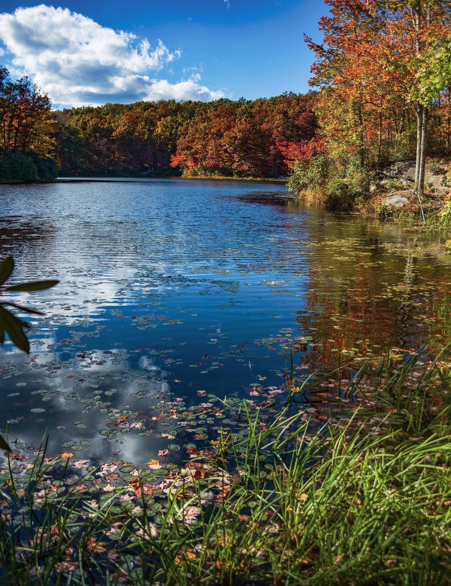
The corridor is not only a bike trail. The state lists road running, horseback riding and accessible recreation among its uses, along with camping at the park on the trail. October is when it gets busiest, when the hardwood along the grade turns and each portal frames the color outside it. Summer is humid, and the shaded cuts and tunnels are the cool part of the ride. Winter riding works — the trail is open year-round — with the caveat that wet ballast and a damp tunnel floor are slower than they look.
Other long rail-trails in the state
If the North Bend is not the corridor you want, West Virginia's rail-trail inventory is one of the best in the country per capita. The Greenbrier River Trail runs 78 miles with 35 bridges and 2 tunnels, which is a longer ride with a river beside it and far less time underground. The Mon River system links Morgantown to the Pennsylvania line, and it is the pick when you want a town at each end. The Elk River Trail is still growing, so check its current open mileage before you drive to it.
For inventories and conditions, TrailLink and the West Virginia Rails-to-Trails Council keep the most complete lists, and the state park office is the place to ask about this trail specifically — surface, tunnel access, anything closed for repair. Rail-trails are the most accessible outdoor recreation in the state, and that is worth saying plainly: a corridor built for freight is usable by riders, runners, walkers and wheelchairs in a way that very little other ground in West Virginia is. At the Parkersburg end, Mountwood Park has a signed mountain bike network if you want natural-surface riding to go with the rail grade.
Reach people planning this trip
Placement alongside guides for outfitters, guides, shops and lodging.
List your business hereQuestions
How long is the North Bend Rail Trail?
How many tunnels are on the North Bend Rail Trail?
Do I need a light for the tunnels?
What kind of bike should I ride?
What are the trail hours?
Can I stay on the trail overnight?
Read next
 Destination · Mid-Ohio Valley
Things to Do Outdoors in Parkersburg, West Virginia
A river town's outdoor options: a sternwheeler to Blennerhassett Island, refuge islands reachable only by boat, main-stem catfish and a 72-mile rail trail.
8 min read Destination · Mid-Ohio Valley
Ohio River Islands National Wildlife Refuge
How to visit a refuge of 22 islands spread over nearly 400 river miles: which one you can drive to, what the barge traffic means, and why May is the month.
8 min read · May Guide · Mid-Ohio Valley
Canoeing the Hughes River
Class I water on the three forks of the Hughes: the April to October season, where the public access is, the smallmouth, and what to paddle when it drops.
8 min read · June