
Every organization we link to: local tourism offices, the state and federal agencies that manage the land, the nonprofits and clubs that keep access open, and the universities doing the research.
West Virginia has roughly 1.5 million acres of public land and a handful of places that carry almost all of the attention. The consequence is that a great deal of very good ground sits nearly empty, usually for one of three reasons: nobody has heard of it, the road in is gated or rough, or it is undeveloped and has nothing to advertise. Those are the places below — of them across regions.
Almost Heaven Swings
Things to do outdoors in Parkersburg, and where the town sits
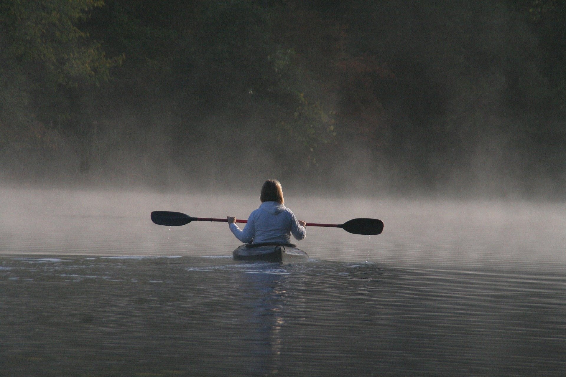
Most things to do outdoors in Parkersburg, WV depend on the Ohio River rather than on mountains. The town sits on the river in a part of the state where the terrain is lower and less steep than the rest of West Virginia. That changes what a day looks like: instead of a climb to a view, you get islands, flat water, bottomland forest and a rail grade that leaves town heading east. Nothing here demands the fitness that the Monongahela high country asks for, and the thing you plan around is the river level rather than the weather on a summit.
It also changes the logistics. Two of the best destinations in the area are islands, which means a boat or a scheduled sternwheeler rather than a trailhead and a parking lot, and it means checking a sailing time or a river gauge before committing to the day. The land options — a rail trail out of town, county and state park ground inland — are the fallback when the Ohio is high, brown and pushing debris, which it does after heavy rain anywhere upstream, days after the weather here has cleared. Plan a river day with a land day behind it.
Blennerhassett Island, and how you get there
Blennerhassett Island Historical State Park is a 500-acre island in the Ohio, reached by sternwheeler from Parkersburg. On it are a reconstructed 1800 Palladian mansion, horse-drawn wagon tours and a good deal of quiet riverbank walking. The island was the site of the Burr-Blennerhassett conspiracy of 1806, which is the reason it is a state park rather than farmland. Access is by boat only and seasonally scheduled, so the sailing times govern the entire visit — check them before you drive, and treat the last boat of the day as a hard deadline rather than a guideline.
Bicycles can be taken over on the boat, which is the detail most visitors miss and the one that changes the day most. A bike turns the island from a mansion tour into a couple of hours of flat riding on car-free ground, with the river on both sides and no traffic. The park also reads as a birding and photography stop: island edge, mature bottomland trees and open water in the same frame, at a time of day when the light comes across the water rather than down through a canopy.
The Blennerhassett Museum on the mainland is the natural pairing, and it works as the indoor half of the trip when the boat is not running or the weather turns. Because the sternwheeler is scheduled rather than continuous, build the rest of the day around the crossing instead of the reverse. A morning sailing leaves an afternoon free for the rail trail or for park ground inland, and it puts you on the island before the heat of a July afternoon settles on open ground that has very little shade over it.
The refuge islands, and the river itself
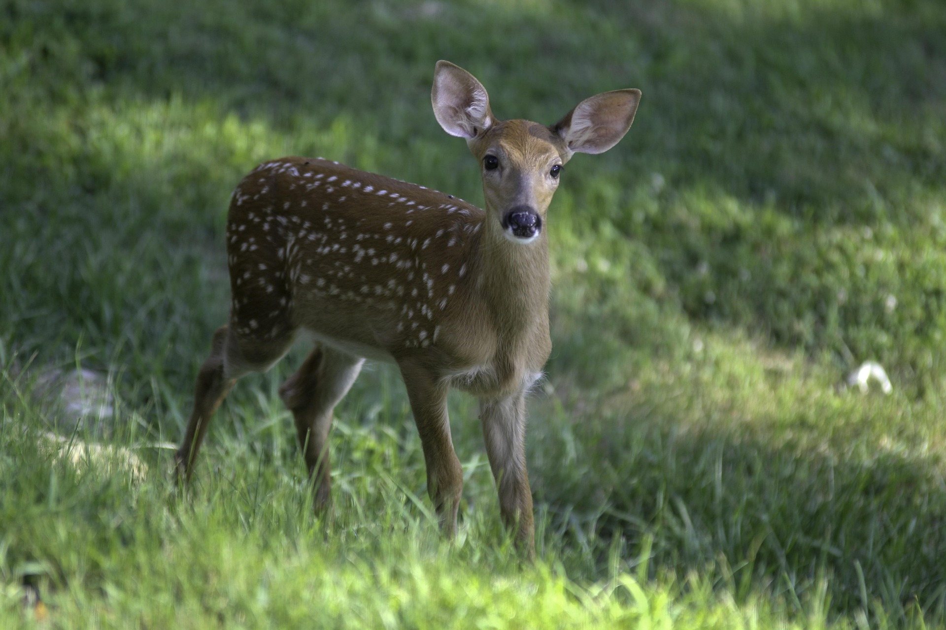
Ohio River Islands National Wildlife Refuge protects 22 islands and several mainland tracts across nearly 400 river miles, and some of them lie within reach of Parkersburg. They hold what is left of relatively undisturbed island habitat on the Ohio, which matters for freshwater mussels, migratory birds and river-bottom forest. Most islands are open to day use, and most are reachable only by boat. There is no camping on them. That combination makes them a paddling and wildlife-watching destination rather than a weekend base, and it means the boat, not the island, is the limiting factor.
The one exception worth knowing is Middle Island at St. Marys, which is reachable by bridge — the option when you do not have a boat, or do not want to cross open water with people who have never paddled. It sits upriver from Parkersburg and makes a straightforward half-day of driving and walking, with the same island forest and the same river on both sides as the boat-access islands have. Day use is the rule there as everywhere else in the refuge, so it is an afternoon rather than an overnight, and it is the sensible first visit if you want to know whether island habitat interests you before buying a boat to reach the rest of it.
The main stem itself is big flatwater with good catfishing, and it is fished from boats far more than from banks. The serious caution is commercial traffic: barges on the main channel are large, fast for their size and slow to react, and the refuge's own guidance is to stay to the sides. That applies to canoes and kayaks especially. Cross the channel deliberately and briefly if you must cross it at all, do not linger in it to fish, and expect wakes to keep arriving at the island shores well after a tow has gone by.
Birding and nature study in the bottomlands
The habitat around Parkersburg is river bottom rather than spruce, and the birding follows the river. Island and bottomland forest, backwater and mudflat are what the refuge exists to protect, and May is the peak month statewide for breeding song. The practical tool for finding birds on a given weekend is eBird's West Virginia hotspot data, which is more current than any printed list. The Brooks Bird Club is the statewide birding organization, and WVDNR points to it as the primary way to connect with other West Virginia birders. Birding here is a year-round activity at any level of experience, which is not true of much else in the state.
For anyone who wants to go past identification, the Master Naturalist program is the structured route into West Virginia ecology, and the West Virginia Native Plant Society covers the plant side. Both are useful here specifically because bottomland forest is less written about than the high-elevation communities that get the attention, and a river island of mature bottomland hardwood rewards slow looking more than it rewards covering ground. Freshwater mussels are the reason much of this ground is protected at all, even though you will almost certainly never see a live one.
The west end of the North Bend Rail Trail
The North Bend Rail Trail has its western terminus at Parkersburg and runs 72 miles east on a former Baltimore and Ohio grade, carrying a segment of the American Discovery Trail. From town it is the easiest recreation to start on: a beginner-rated, year-round surface with the gentle grade a railroad left behind, and no need to commit to the whole thing. An out-and-back of whatever length suits the afternoon is the normal way to use the western end, and it is the one option here that does not depend on the river at all.
Two things to know before riding out. The trail is open 6 a.m. to 10 p.m., and the tunnels require lights — several are long, dark and curved, and the agency is explicit about it. The surface varies from crushed limestone to rougher ballast, so wide tires make the difference between a pleasant ride and a rattling one. If the rail grade is too tame, Mountwood Park is a short drive out of town and has a signed natural-surface mountain bike network, along with a 50-acre lake, camping and disc golf.
Public land a short drive out
North Bend State Park covers 1,405 acres on a horseshoe bend of the North Fork of the Hughes River and sits directly on the rail trail with lodging, camping and a 305-acre lake nearby. Its Extra Mile Trail is built for accessibility, with guide ropes and braille, which is uncommon enough in West Virginia to be worth the drive on its own. The park is the standard overnight base for anyone riding the middle of the rail trail rather than day-tripping out of Parkersburg and back. The lake carries a 10-horsepower limit, with a boat launch, a canoe launch and two accessible fishing platforms.
Farther out, Middle Island Creek is the longest creek in the state and loops through Doddridge and Tyler counties in enormous slow bends as Class I water from June through August. Almost nobody floats it, so you will usually have it to yourself. Low water in late summer turns it into a wade, which makes early summer the window. Canoe season in this part of the state generally runs April through October at a beginner to intermediate level, with low-head dams and strainers as the hazards to check for after high water.
Reach people planning this trip
Placement alongside guides for outfitters, guides, shops and lodging.
List your business hereQuestions
How do you get to Blennerhassett Island?
Can you visit the Ohio River Islands refuge without a boat?
Is the Ohio River safe to paddle here?
What is there to do outdoors in Parkersburg when the river is high?
When is the best month for birding around Parkersburg?
Do you need lights on the rail trail?
Read next
 Guide · Mid-Ohio Valley
The North Bend Rail Trail: A Complete Guide
Riding 72 miles of old Baltimore and Ohio grade end to end: the tunnel count, the surface, trail hours, access points and what to bring.
8 min read · October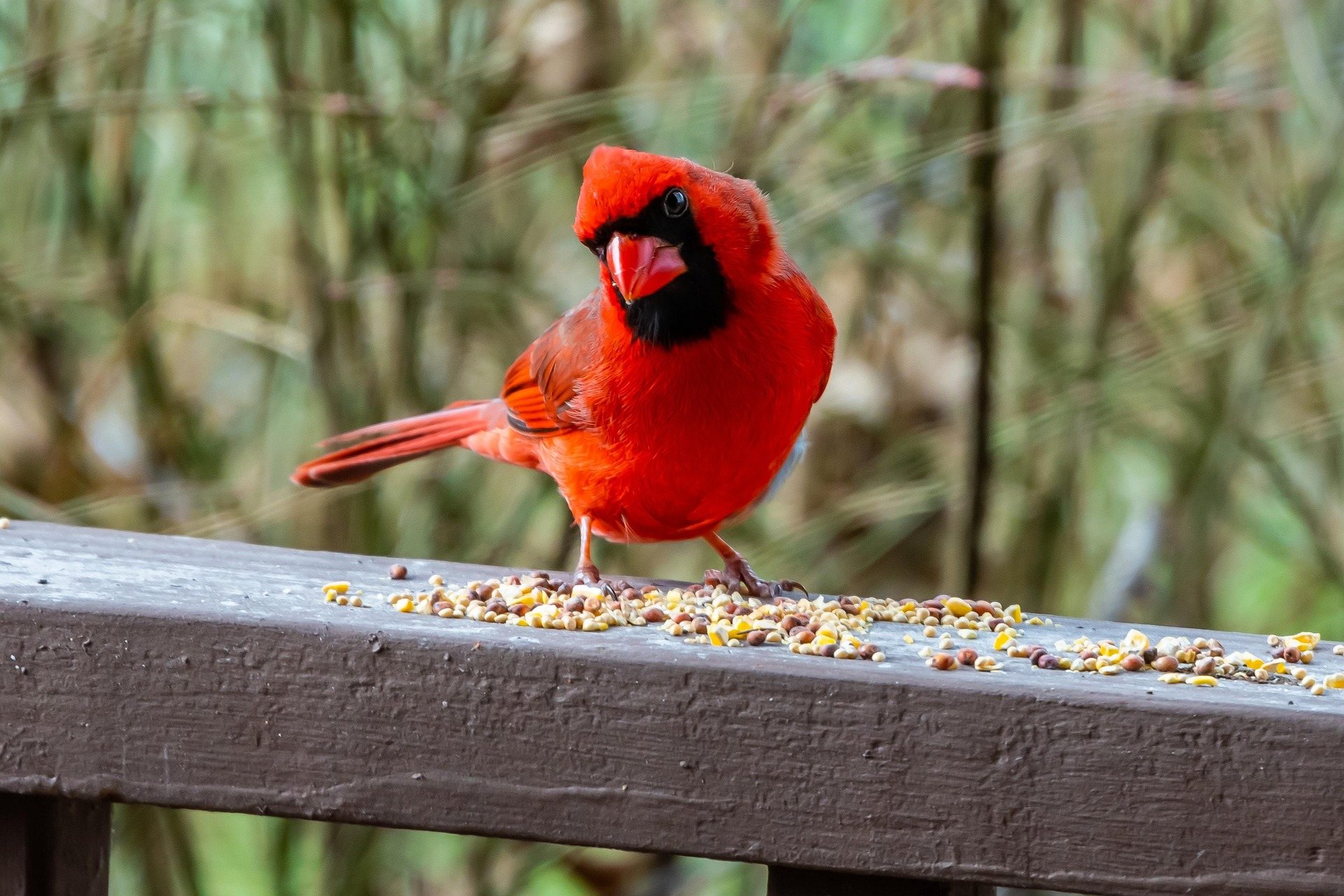 Destination · Mid-Ohio Valley
Ohio River Islands National Wildlife Refuge
How to visit a refuge of 22 islands spread over nearly 400 river miles: which one you can drive to, what the barge traffic means, and why May is the month.
8 min read · May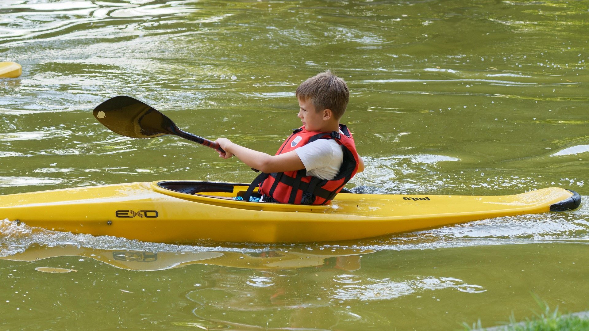 Guide · Mid-Ohio Valley
Canoeing the Hughes River
Class I water on the three forks of the Hughes: the April to October season, where the public access is, the smallmouth, and what to paddle when it drops.
8 min read · June