
Every organization we link to: local tourism offices, the state and federal agencies that manage the land, the nonprofits and clubs that keep access open, and the universities doing the research.
West Virginia has roughly 1.5 million acres of public land and a handful of places that carry almost all of the attention. The consequence is that a great deal of very good ground sits nearly empty, usually for one of three reasons: nobody has heard of it, the road in is gated or rough, or it is undeveloped and has nothing to advertise. Those are the places below — of them across regions.
Almost Heaven Swings
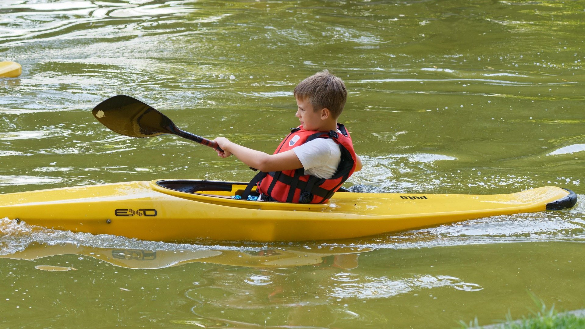
What the three forks are like
The Hughes has three forks — North, South and Middle — and they drain a landscape of narrow ridges and small farms in Ritchie and Wirt counties. That is the whole character of the river. Hughes River canoeing in West Virginia is the flat, warm, shallow kind: enough current to carry a loaded boat, banks close on both sides, and long stretches with nothing on the water but you. West Virginia groups the Hughes with the Cacapon, the Greenbrier and the South Branch as its classic open-boat rivers, all of them described the same way — clear, warm, shallow and slow enough to fish from.
Which fork you paddle matters less than how much water is in it. All three are small streams draining a small landscape, and they rise and fall quickly. The North Fork is the fork with the most public land on it: North Bend State Park occupies 1,405 acres on a horseshoe bend of the North Fork, and the North Fork is also the stream the 305-acre North Bend Lake watershed project sits on. The South and Middle forks run through farm country with far less public frontage, which shapes where you can legally start and stop more than it shapes the paddling.
What Hughes River canoeing asks of you
The river is rated Class I. In practice that means moving flatwater with riffles, gravel bars and bends, the kind of water an open boat was designed for and a beginner can read from the bow seat. West Virginia puts canoeing on rivers like this at beginner to intermediate. Intermediate is the honest word for the Hughes only because of what a small stream does with fallen timber: a Class I river with a tree across it is a Class I river you have to get out of. Terrain across the Mid-Ohio Valley is lower and less steep than the rest of the state, and the rivers behave accordingly — nothing here drops fast enough to build a rapid worth naming.
The hazards worth respecting are not rapids. Watch for strainers after high water — the state's standing caution for open-boat rivers, along with low-head dams, and the reason a spring trip needs more scouting than a June one. Trees come down over winter and the first paddlers of the season are the ones who find them, usually on a blind outside bend where the current runs straight into the timber. Get out and walk the boat around anything you cannot see through. If you have never handled a canoe in current, American Canoe Association instruction is available regionally, and a day of it is worth more on a stream like this than any amount of reading.
When there is enough water
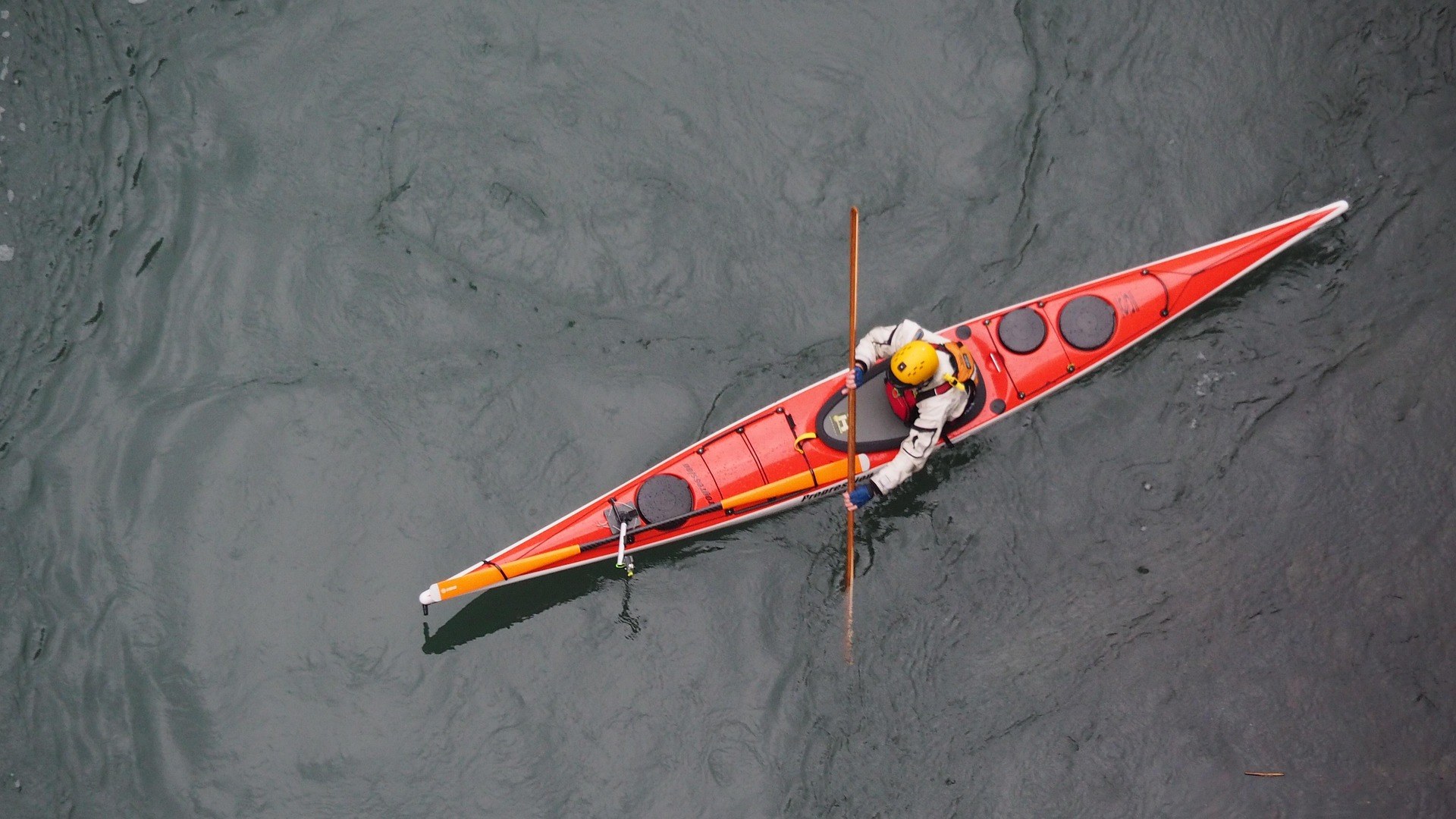
The canoe season in West Virginia runs April through October, and on the Hughes the useful part of that window is its front half. Spring melt and spring rain give the forks their most reliable depth, and by late summer low water limits which sections are floatable at all — the guidance for the river is explicit about it. June is the month that balances the two: the water is usually still up enough to float a loaded boat, and warm enough that going over the side is a nuisance rather than a problem. Recreational kayaks and tubes both work on this water in the same window, and a tube needs even more depth under it than a canoe does.
There is no substitute for looking. These are small streams, and a fork that carried you last month can be a series of gravel bars this week. Look at the river where the road crosses it before you commit to a shuttle, and if you are dragging in the first quarter mile you will be dragging all day. Late-season trips are better spent on the deeper water below, or given over to fishing from the bank. Friends of the Hughes River is the local watershed group for the system and the place to start for current conditions on the forks.
Getting on and off the river
Much of the bank along the Hughes is private, and the guidance for the river is to use established access. That is the most important planning constraint on this river, and it limits trip design more than distance or difficulty does. Plan a float between two access points you have actually looked at, not between two blue lines on a map, and leave the vehicle somewhere it plainly belongs. The roads through Ritchie and Wirt counties follow the valleys and cross the forks repeatedly, which makes scouting easy on the way in and makes a two-vehicle shuttle short — but a bridge you can see the water from is not by itself a place you are allowed to launch.
North Bend State Park is the anchor on the North Fork, with a lodge, cabins and campgrounds directly on the horseshoe bend, and it also carries the boating infrastructure the river itself lacks: the park's lake has a boat launch, a canoe launch and two accessible fishing platforms, and the lake is limited to 10 horsepower. The Jug day-use area is the other named point on the river inside the park. West Virginia State Parks does not publish float mileages for the forks, so build your day around access you can see rather than a number.
Fishing from the canoe
Smallmouth are the reason a lot of people put a boat on the Hughes at all. The river is shallow, clear and slow enough to fish from a drifting canoe, which is the description West Virginia applies to its open-boat rivers generally and the way this one gets worked — cast to the seams along the gravel bars and the shade under the bank, and let the current do the moving. Kayak fishing suits the same water, and a sit-on-top handles the shallow stretches with less scraping than a loaded tandem. Anchor or step out on a bar when you find fish, because drifting past them is the standard mistake.
One seasonal detail is worth knowing: the river at the Jug day-use area in North Bend State Park is stocked with trout from January through April. That is a bank-fishing, cold-weather proposition more than a canoe one, but April is the overlap month, when the paddling season opens and the stocked water is still in play. Birding is the quiet second reason to be out here. The forks run through bottomland hardwood, and a canoe moves slowly and silently enough to get close to what is standing on the bank — which is more than you manage on foot through the same cover.
Flatwater when the forks are too low
When the forks bottom out in late summer, the fallback is standing water. North Bend Lake covers 305 acres and runs 8.1 miles long as part of the North Fork of the Hughes River watershed project, and it is set up for small boats: a boat launch, a canoe launch, two accessible fishing platforms, and a 10-horsepower maximum that keeps the whole thing quiet. Eight miles of lake is a full day of paddling out and back, it holds its level when the river does not, and the campgrounds and cabins at North Bend State Park are close enough to make it an easy overnight rather than a drive.
Mountwood Park, a 2,600-acre county park outside Parkersburg, has a 50-acre lake open to flatwater paddling, with camping and fishing on the same ground. If you want moving water in early summer instead, Middle Island Creek is the other Class I float in these counties — the longest creek in the state, looping through Doddridge and Tyler in enormous slow bends, floatable June through August, and almost nobody on it. Low water turns that one into a wade late in the season as well, so it is an early-summer trip for the same reason the Hughes is. For multi-day canoe camping, West Virginia points paddlers to the Greenbrier and the Cacapon rather than to anything here.
Reach people planning this trip
Placement alongside guides for outfitters, guides, shops and lodging.
List your business hereQuestions
Is the Hughes River suitable for beginner canoeists?
When is the best time to canoe the Hughes River?
Where can you put a canoe in on the Hughes River?
How long is a float on the Hughes River?
What fish are in the Hughes River?
Can you canoe the Hughes River in late summer?
Read next
 Guide · Mid-Ohio Valley
The North Bend Rail Trail: A Complete Guide
Riding 72 miles of old Baltimore and Ohio grade end to end: the tunnel count, the surface, trail hours, access points and what to bring.
8 min read · October Destination · Mid-Ohio Valley
Things to Do Outdoors in Parkersburg, West Virginia
A river town's outdoor options: a sternwheeler to Blennerhassett Island, refuge islands reachable only by boat, main-stem catfish and a 72-mile rail trail.
8 min read Destination · Mid-Ohio Valley
Ohio River Islands National Wildlife Refuge
How to visit a refuge of 22 islands spread over nearly 400 river miles: which one you can drive to, what the barge traffic means, and why May is the month.
8 min read · May