
Every organization we link to: local tourism offices, the state and federal agencies that manage the land, the nonprofits and clubs that keep access open, and the universities doing the research.
West Virginia has roughly 1.5 million acres of public land and a handful of places that carry almost all of the attention. The consequence is that a great deal of very good ground sits nearly empty, usually for one of three reasons: nobody has heard of it, the road in is gated or rough, or it is undeveloped and has nothing to advertise. Those are the places below — of them across regions.
Almost Heaven Swings
What the refuge protects
Ohio River Islands National Wildlife Refuge is 22 islands and several mainland tracts scattered along nearly 400 river miles of the Ohio. It is not a single block of ground with a gate, a visitor loop and a fee station. The US Fish and Wildlife Service assembled it island by island because those islands hold some of the last relatively undisturbed island habitat left on the river, after generations of channel work, dredging and bank development took most of the rest. Understanding that shape is the first step in planning a visit, because it means there is no single place to go.
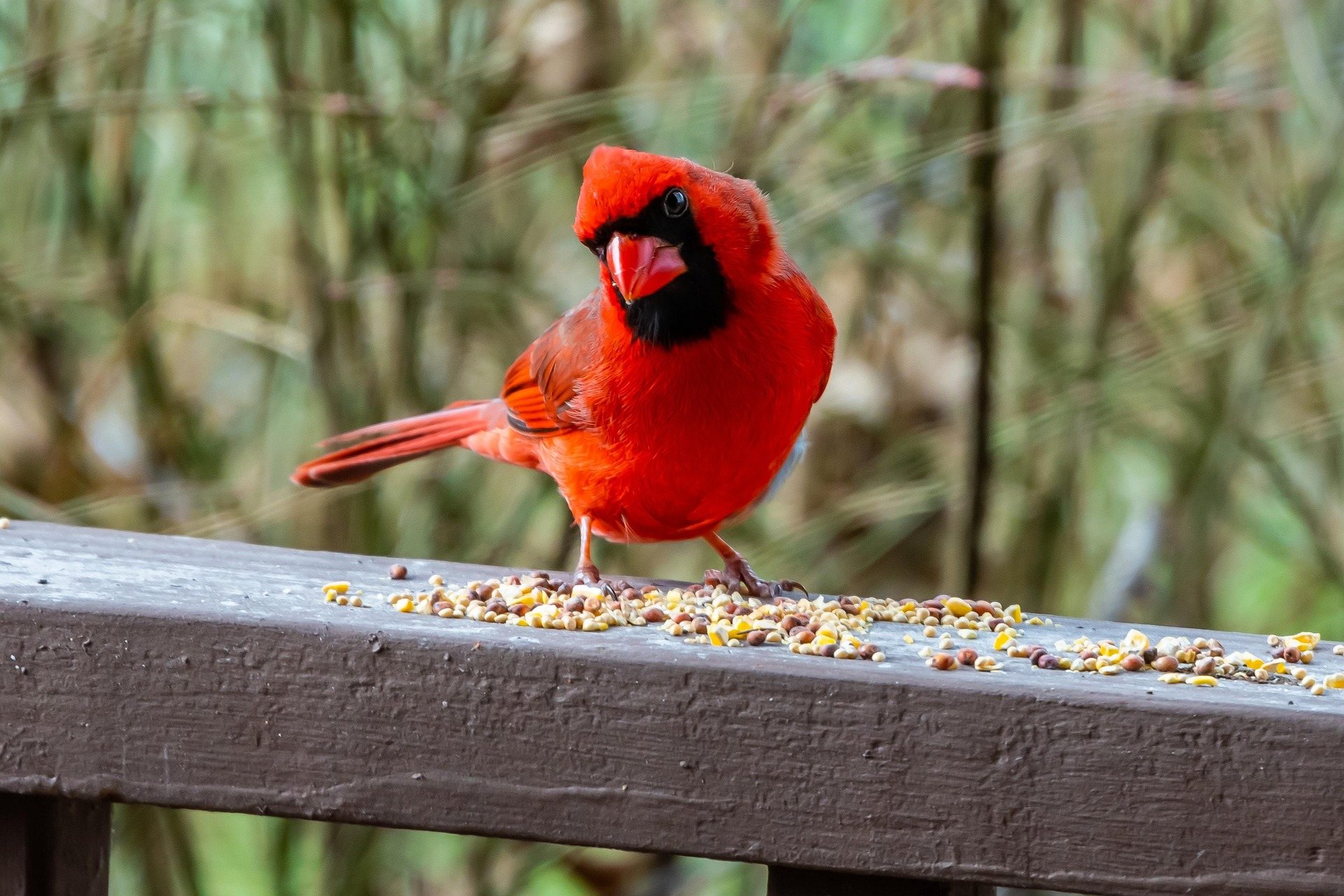
Three things are being protected here. Freshwater mussels, which live in the gravel and sand of the island margins and are among the most imperiled animals in North America. Migratory birds, which use the river as a corridor and the islands as places to rest and feed. And river-bottom forest, the flood-tolerant hardwood that once lined the whole Ohio and now survives mainly where nobody could farm it or build on it. The islands are where all three overlap, which is the reason the refuge exists in this scattered form rather than as one contiguous tract.
Getting onto the islands
Most of the islands are open to day use, and most are reachable only by boat. There is no camping anywhere in the refuge. That pair of facts settles the trip planning: this is a day out with a canoe, a kayak or a motorboat, launched from the mainland, not a place to base a weekend. Plan the return crossing into your timing rather than treating it as an afterthought, because wind on open water late in the afternoon is a different proposition from the flat morning you set out on.
Middle Island at St. Marys is the exception, and it is the one to start with. It is reachable by bridge, which means you can walk a refuge island with no boat, no shuttle and no weather window to wait for. For a first visit, or a visit with people who are not going to get into a canoe, it works as the whole refuge in miniature — island forest, the river on both sides, the same birds moving through, and the option to leave whenever you have had enough.
The refuge does not publish a launch-by-launch access list for the other islands, and they are spread across too much river for one set of directions to cover. Decide which stretch of river you are working from first, then confirm the nearest island and a legal launch with the refuge office before you load the boat. Being clear about which island you are standing on matters for a second reason: the mainland shore beside it is often private ground, and so are some of the islands that are not part of the refuge.
The river is the hazard, not the islands
The serious caution here is commercial traffic. Barge tows on the main channel are enormous, and they cannot stop or turn to accommodate a canoe. The refuge's guidance is blunt: stay to the sides. Treat the channel as a road to be crossed at a right angle, quickly, with a clear view upstream and down, and never as a place to drift while you fish or watch a bird. Wakes from commercial and recreational traffic both keep arriving at the island shores well after the boat that made them has gone out of sight.
River level is the other variable. Canoe season in this part of West Virginia runs April through October at a beginner to intermediate level, and the hazards to check for after high water are strainers and low-head dams. High, fast, debris-carrying water is a reason to postpone rather than a reason to be careful, particularly on a river this wide, where a swim puts you a long way from either bank. American Canoe Association instruction is available regionally and is worth having before an open-water crossing if your paddling has all been on small streams.
Birding the refuge, and when to come
Birding is why most people who are not fishing come here, and May is the month. Statewide, early May through mid-June is peak breeding song, and on a river corridor early May adds migration on top of that — birds moving upriver and dropping into island forest to feed. The refuge is open to birding year-round and at any level of experience. Winter shifts the interest to waterfowl on open water, and late summer is the quietest stretch of the year for song, when the forest goes silent and the heat arrives.
West Virginia's best-known birding is high-elevation: Cranberry Glades, Dolly Sods and Canaan Valley, and the spruce and northern hardwood species that breed at the southern edge of their range there. Ohio River Islands National Wildlife Refuge is the opposite proposition — low, wet, warm, and full of the bottomland and water birds those mountain sites do not have. If you are working through the state's habitats rather than chasing single species, this is the refuge that fills the gap at the bottom of the elevation range, and in early May it is warm and leafed out while the high country is still coming out of winter.
For deciding where to go on a given weekend, eBird's West Virginia hotspot data is the fastest source, and it is more current than anything printed. The Brooks Bird Club is the statewide birding organization, and WVDNR recommends it as the primary way to connect with other West Virginia birders — useful here in particular, because local knowledge of which island is worth the crossing this week, and which launch is usable at the current river level, is not something the refuge publishes. Other birders are also the fastest route to knowing what a given island holds, since a refuge spread over this much river is not something one person covers.
Mussels, forest and slow looking
The freshwater mussels are the least visible thing the refuge protects and arguably the most important. They live buried in substrate, they filter the river, and they are the reason undisturbed gravel bars and island margins matter enough to justify federal ownership of scattered ground. You are unlikely to see a live one. Knowing they are there ought to change how you treat a shoreline anyway — where you drag a boat up, where you wade, and how much bank you tear apart getting out of the water. A gravel bar is habitat rather than a parking space.
The river-bottom forest above the waterline is the part you can spend an afternoon inside. It is flood-shaped, and it shows it: high-water debris caught in the branches, scoured ground, a canopy that closes over open sand. The Master Naturalist program is the structured way to learn West Virginia ecology if you want more than a bird list out of the day, and the West Virginia Native Plant Society covers the plant side. Both are more useful on ground like this than a field guide alone, because bottomland communities get far less popular coverage than the state's bogs and heath balds.
Blennerhassett Island, on a schedule
For an island visit that does not depend on owning a boat or reading the river, Blennerhassett Island Historical State Park is the alternative. It is a 500-acre island in the Ohio, reached by sternwheeler from Parkersburg, and it is a state historical park rather than part of the refuge — a reconstructed 1800 Palladian mansion, horse-drawn wagon tours and a good deal of quiet riverbank walking, on the site of the Burr-Blennerhassett conspiracy of 1806. It is the same river and the same island forest, with a boat that runs to a timetable.
Access is boat-only and seasonally scheduled, so the sailing times decide the shape of the day — check them first and treat the last boat back as fixed. Bicycles can be taken over on the boat, which makes the flat, car-free ground worth a couple of hours on its own. The riverbank walking and the island edge make it a workable birding and photography stop as well, and the Blennerhassett Museum on the mainland is where to go when the sternwheeler is not running. Between the two, a visitor with no boat can see a large Ohio River island at Parkersburg and walk a refuge island at St. Marys in the same weekend, which covers most of what the river has to show without ever launching anything.
Reach people planning this trip
Placement alongside guides for outfitters, guides, shops and lodging.
List your business hereQuestions
How many islands are in the Ohio River Islands National Wildlife Refuge?
Can you visit the refuge without a boat?
Can you camp on the refuge islands?
What is the best month to bird the refuge?
Is it safe to paddle out to the islands?
What does the refuge actually protect?
Read next
 Guide · Mid-Ohio Valley
The North Bend Rail Trail: A Complete Guide
Riding 72 miles of old Baltimore and Ohio grade end to end: the tunnel count, the surface, trail hours, access points and what to bring.
8 min read · October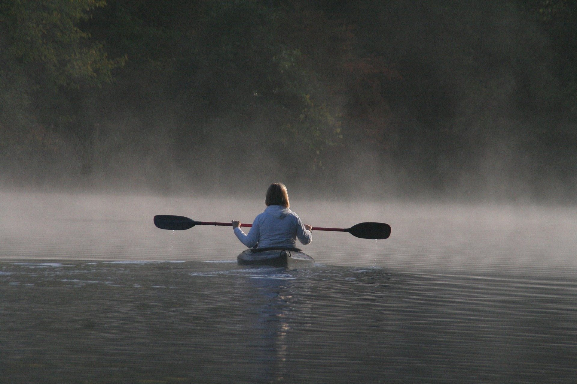 Destination · Mid-Ohio Valley
Things to Do Outdoors in Parkersburg, West Virginia
A river town's outdoor options: a sternwheeler to Blennerhassett Island, refuge islands reachable only by boat, main-stem catfish and a 72-mile rail trail.
8 min read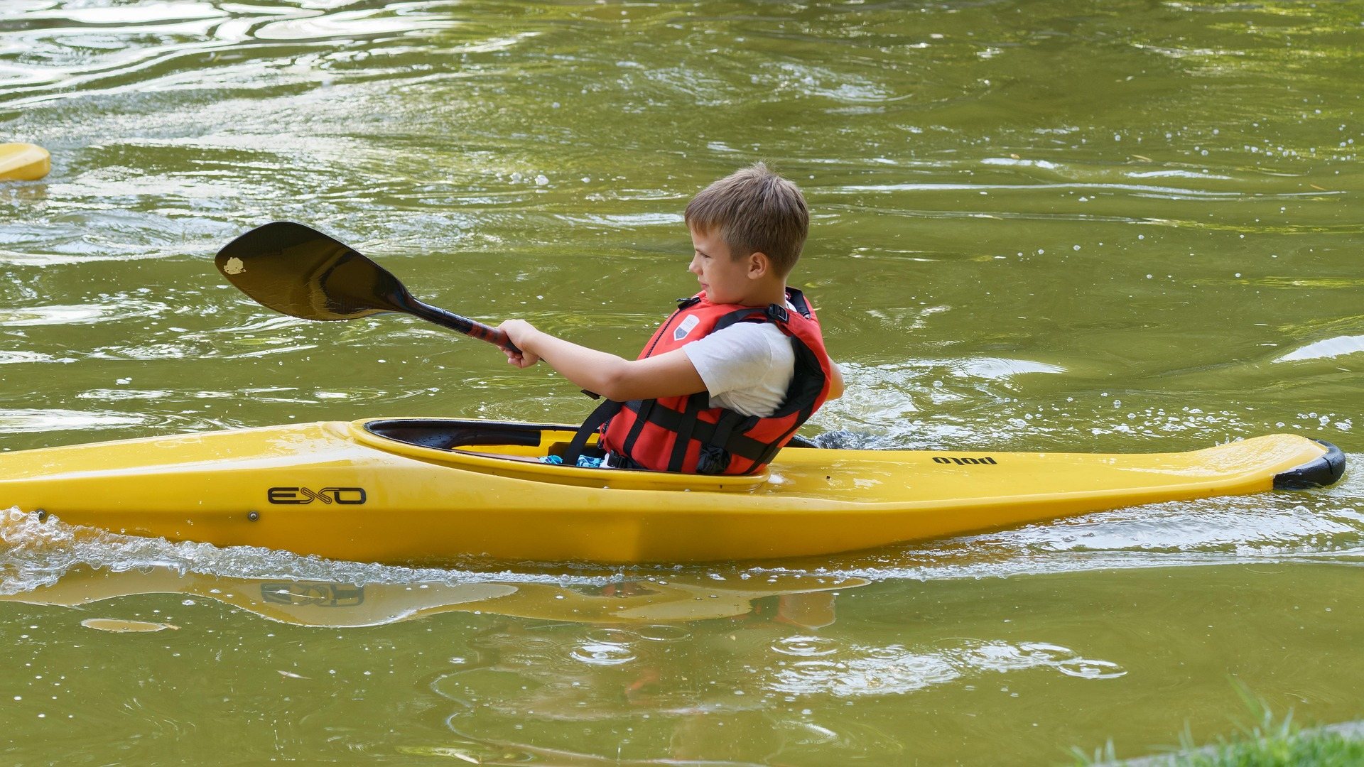 Guide · Mid-Ohio Valley
Canoeing the Hughes River
Class I water on the three forks of the Hughes: the April to October season, where the public access is, the smallmouth, and what to paddle when it drops.
8 min read · June