
Every organization we link to: local tourism offices, the state and federal agencies that manage the land, the nonprofits and clubs that keep access open, and the universities doing the research.
West Virginia has roughly 1.5 million acres of public land and a handful of places that carry almost all of the attention. The consequence is that a great deal of very good ground sits nearly empty, usually for one of three reasons: nobody has heard of it, the road in is gated or rough, or it is undeveloped and has nothing to advertise. Those are the places below — of them across regions.
Almost Heaven Swings
Shavers Fork and Stuart Recreation Area
The things to do in Elkins, WV, that are worth driving for come down to which direction you leave town in, and the most useful single destination is Stuart Recreation Area. It is a Civilian Conservation Corps site from the 1930s on the Shavers Fork, with a campground, picnic shelters and river access, and it functions as the basecamp for the central Monongahela National Forest and the Otter Creek and Cheat Mountain country beyond it. It takes RVs as well as tents, and it sits close enough to town that forgetting something is an inconvenience rather than a problem.
The river is the reason to linger there. The Shavers Fork holds trout upstream and smallmouth lower down, so the same water fishes two different ways depending on where you stand in it, and there are swimming holes at the recreation area for whoever in the group does not fish. Fly fishing in this region runs March through November at an intermediate level. Highland freestone streams rise and drop fast enough that a look at the USGS gauges is worth doing before you load the car rather than after you arrive to find the water unfishable.
Otter Creek Wilderness, for deep woods
The nearest wilderness is Otter Creek: 20,698 acres in Tucker and Randolph counties with 45 miles of trail, reached on forest roads through the Cheat–Potomac Ranger District at Parsons. It is a walk in a green bowl rather than a walk with views — second-growth forest, moss, rhododendron and a creek crossed over and over. As a day trip out of town it works well enough, provided you go in and come back out the same way and choose your day according to how much water is in the creek.
Treat it as more serious than its distance from pavement suggests. The Forest Service does not mark the trails, provides few bridges at the crossings, and states that streams may be impassable in high water, so a map, a compass and spare socks are the equipment that decides the day. Wet feet are not a risk here, they are the plan. Anyone who wants forest walking without that commitment is better served by the trails around Stuart Recreation Area or by a state forest, where the tread is easier to follow and nobody is fording anything.
Kumbrabow State Forest
Kumbrabow is the highest state forest in West Virginia, 9,474 acres of red spruce and northern hardwood on Rich Mountain, and the first thing most people notice is how few others are there. It stays cool in August, which in this state is a specific and valuable property, and Mill Creek runs native brook trout through it. Light tackle and small flies are the tools for that water: these are small wild fish in a small stream, and they behave accordingly, which is to say they see you long before you see them.
The forest rents rustic cabins, and rustic is accurate — cold-season use means heating with wood. The access roads are gravel and can be rough, so a low car and a wet week make a poor combination, and the drive in is part of the trip rather than a formality. Hiking, camping, primitive camping, hunting and horseback riding are all among the uses the forest is managed for, but no trail mileage is published for the network, so plan from the map at the trailhead rather than from a distance you found somewhere online before leaving home.
Laurel Fork Wilderness
Laurel Fork is two adjacent wilderness units, North and South, totaling 11,839 acres with 18.5 miles of trail between 2,900 and over 3,700 feet. Most of the walking follows old railroad grades and logging roads along the valley bottom, which makes it gentler underfoot than the plateau wildernesses, and the valley itself is beaver country: meadows, dams, standing water, and a trail that reroutes itself around all of it from one year to the next. Native and wild trout live in Laurel Fork, and the meadows make it a better place to watch wildlife than a closed-canopy forest ever is.
Forest Road 14 forms the western boundary and is the way in, from US 33 and Middle Mountain to the north or from WV 28 east of Bartow to the south. Fords can be a problem in high water, extra crossings appear depending on level, and beaver activity floods sections of trail on a schedule of its own. Stock animals are prohibited at Laurel Fork Campground. Visitation is very low even on holiday weekends, which is the reason to go and also the reason to leave your itinerary with someone at home.
Tubing the Cheat headwaters at Parsons
At Parsons the Black Fork, Shavers Fork and Dry Fork come together, and the float from there is two miles of Class I to II water taking one to two hours. Blackwater Outdoor Adventures runs it from June through August: shuttle up, drift back down to the outpost. Headwater water stays cold well into July, which is pleasant in the middle of the float and much less so at the end of it, so bring a layer for afterward rather than assuming a summer afternoon will sort you out. Of everything on this list it is the least demanding, and the one that works with children in the party.
The caution here is geographic. Tubing on the Cheat happens at Parsons, not at Albright — the Albright reach is serious whitewater and no place to be in an inner tube. If you go searching for Cheat River tubing and find yourself reading about named rapids and safety talks, you are looking at the wrong section of river. The Parsons float is short enough to run twice in an afternoon, and cold enough that most people decide once was the right number. Shuttles run through the summer season only, so a warm week in September is not a tubing week here.
Timing the things to do in Elkins
The seasons on these places do not line up neatly. Hiking in the region is year-round, backpacking runs April through November, fly fishing March through November, and the Parsons tube float only June through August, so the one window when every one of the things to do in Elkins is available at once is high summer. That stretch is also when the wilderness fords are most likely to be walkable, which is a real argument for planning the Otter Creek and Laurel Fork trips inside it rather than at the shoulders of the season.
Autumn is the best walking and the most complicated. Hunting seasons overlap the prime hiking weeks, so wear blaze orange on wildlife management areas, and note that hunting is among the managed uses at both Kumbrabow and Laurel Fork. The hardwood turns in October and the spruce does not, which is the contrast that makes photographs in this country. Winter narrows the list: the gravel roads into Kumbrabow and along Forest Road 14 become the limiting factor long before the trails do, and a rustic cabin in a cold month means splitting wood before dinner.
Reach people planning this trip
Placement alongside guides for outfitters, guides, shops and lodging.
List your business hereQuestions
What is there to do outdoors right around Elkins?
Which wilderness area is closest to Elkins?
Can you go tubing near Elkins?
Where can I rent a cabin in the national forest country?
Is the fishing any good?
When is the best time to go?
Read next
 Destination · Potomac Highlands
Hiking Dolly Sods
A practical guide to hiking Dolly Sods Wilderness: the main trails, route options, why it is navigationally serious, and how to reach Bear Rocks.
9 min read Destination · Potomac Highlands
Things to Do in Davis and Thomas, West Virginia
A guide to Davis and Thomas, West Virginia: Blackwater Falls, Dolly Sods access, Canaan Valley skiing and two of the best small towns in Appalachia.
8 min read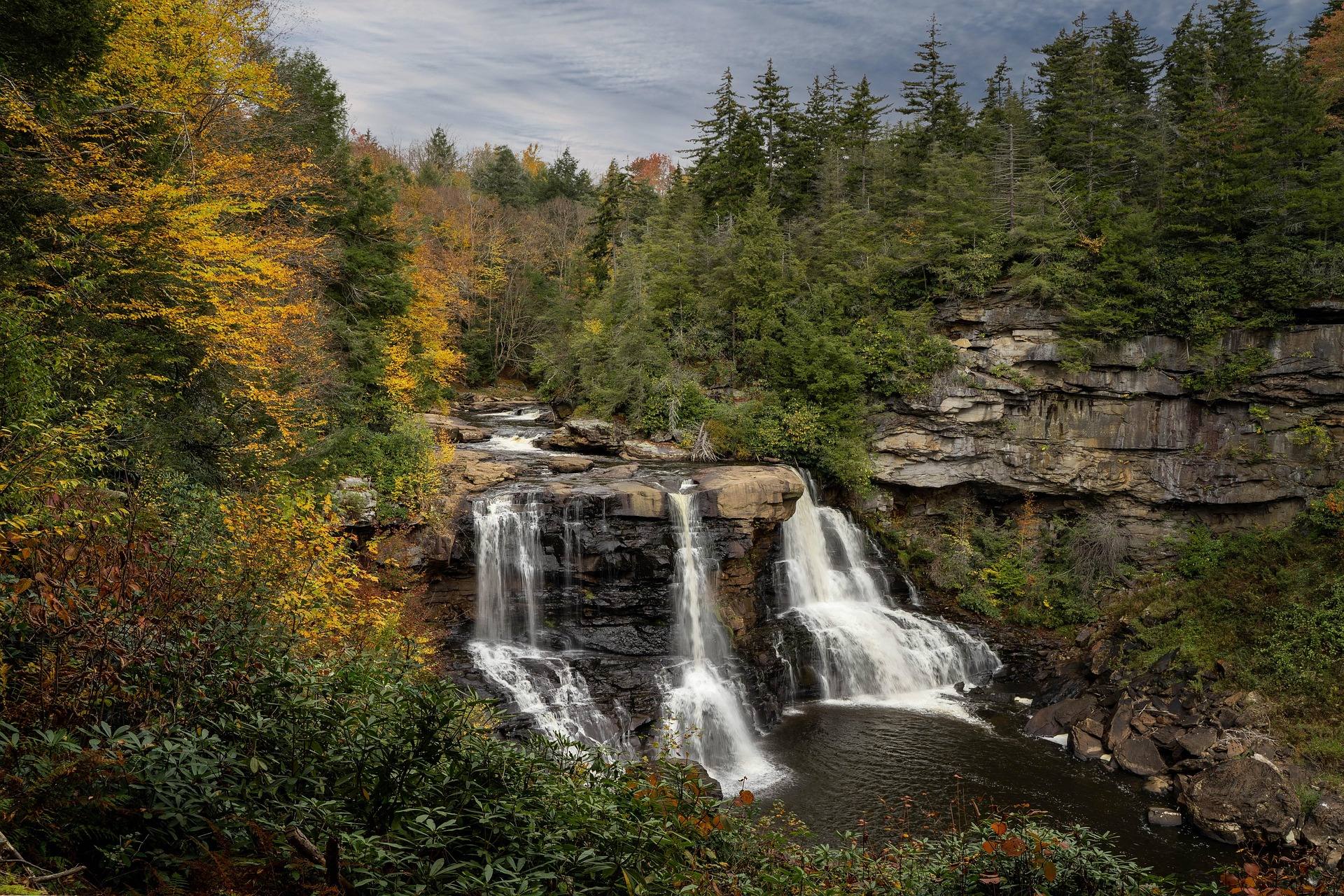 Destination · Potomac Highlands
Blackwater Falls State Park
A complete guide to Blackwater Falls State Park: every waterfall and overlook, Lindy Point at sunset, the trails, lodging and the best season to visit.
8 min read · October