
Every organization we link to: local tourism offices, the state and federal agencies that manage the land, the nonprofits and clubs that keep access open, and the universities doing the research.
West Virginia has roughly 1.5 million acres of public land and a handful of places that carry almost all of the attention. The consequence is that a great deal of very good ground sits nearly empty, usually for one of three reasons: nobody has heard of it, the road in is gated or rough, or it is undeveloped and has nothing to advertise. Those are the places below — of them across regions.
Almost Heaven Swings
The number this page will not invent
There is no published water temperature for Summersville Lake, and a page that hands you one as though it were fixed is guessing. The lake is a Corps of Engineers reservoir, and the Corps' Huntington District posts reservoir levels and the Gauley release schedule at lrh.usace.army.mil. If a temperature genuinely decides your day, whether to bring a wetsuit, whether to dive, whether to let children in, it has to come from a live source rather than from a guide written months earlier.
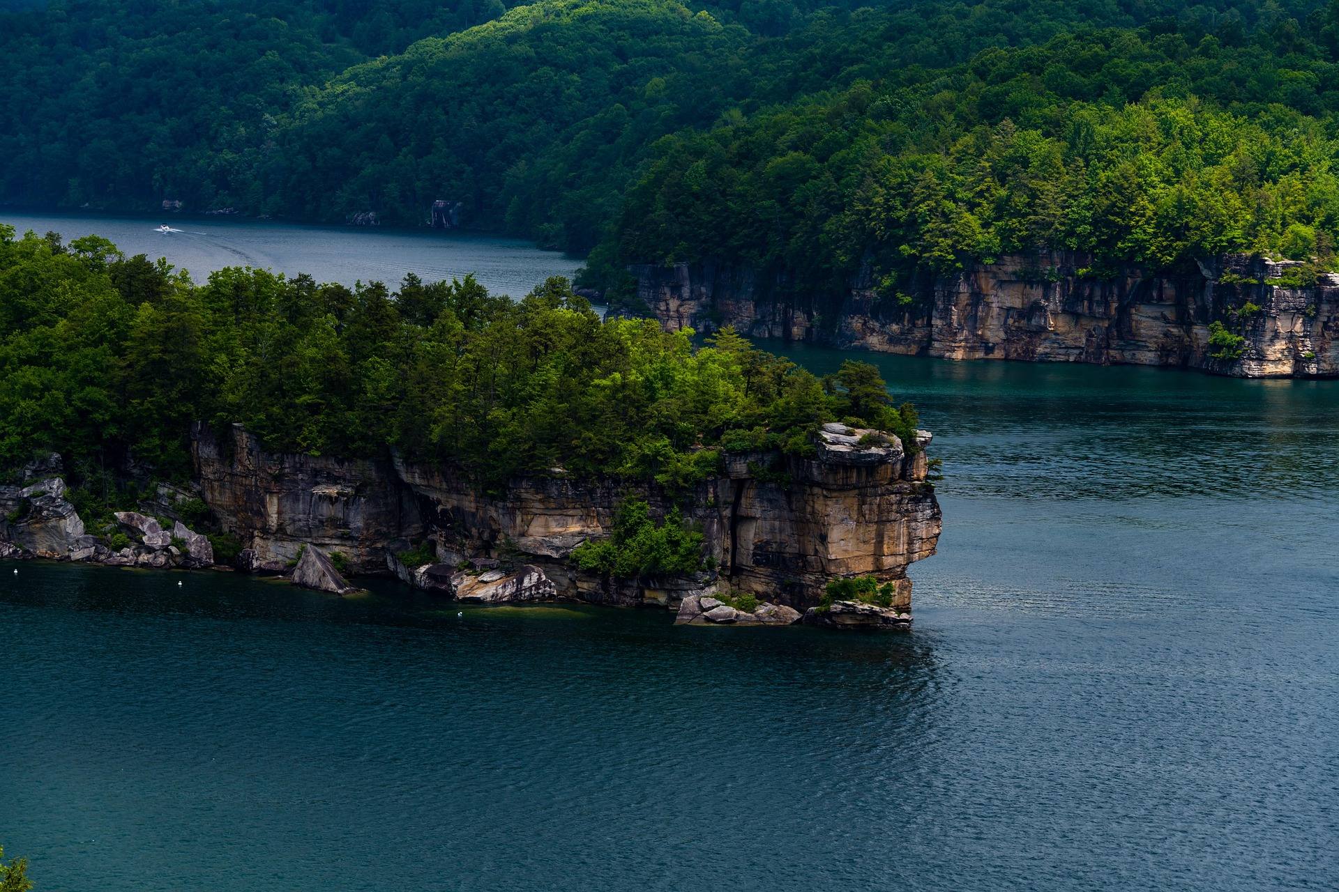
What is published is the physical shape of the place, and it is more useful for planning than a single reading: 2,700 acres, a maximum depth of 327 feet, the clearest water in West Virginia, and a drawdown each autumn that moves the shoreline.
Why 327 feet is the more useful figure
Depth is the reason one reading would mislead you. A basin 327 feet deep at its maximum does not behave like a shallow pond that takes the whole day's sun. The surface and the water well below it are not the same environment, and somebody descending on scuba is going somewhere different from a swimmer floating above.
Our record publishes no monthly surface temperatures, no thermocline depth and no diving conditions, so plan by asking rather than by assuming. The site's standing rule for water applies here as anywhere: wear a life jacket, and do not swim in water you have not inspected from the bank. Divers should take conditions from the Corps and from people who were in the lake that week.
What the season guide says instead
The month-by-month picture is blunt about summer. July and August are hot and humid below 2,500 feet, and the recommended response is to go high, go underground or get wet, with swimming holes and the warm rivers at their best in exactly that window. May and June are peak green statewide, with rivers still up but warming.
Clarity is the argument for choosing this lake over the rest of the state's flatwater, and our record puts the best clarity in early summer, before algae. That gives early summer a defensible claim on the calendar for swimming, paddleboarding, scuba and any photograph of the water itself.
Clear, though, is not the same as warm, and the two get conflated constantly. West Virginia caves hold at about 52 degrees year-round because a cave is a stable system; a 2,700-acre reservoir is not, and nobody publishes a fixed figure for one. Early-summer clarity is no evidence about how the first swim of the year will feel.
The autumn drawdown and what it changes
Each autumn the reservoir is drawn down, beginning in September, for flood storage and to feed the Gauley releases downstream. Gauley Season release weekends start the Friday after Labor Day, so the lake dropping and the whitewater season opening are the same event seen from two places.
The effects on the ground are what matter to a visit: beaches appear that do not exist in June, launch ramps move or go dry, and the base of the shoreline cliffs changes. Confirm the current level with the Corps before towing a boat or driving out for a swim, and expect a September lake to look unlike the one in your photographs from July.
Getting in where the boats are not
Boat traffic is the practical constraint on swimming here. Horsepower limits vary by lake across the state, and this one allows unlimited horsepower with no-wake and restricted zones set inside that. On 2,700 acres the useful question is less how warm the water is than where boats are excluded, so learn those zones before you are in the water.
The same rules that cover motorboats cover the quiet craft. A life jacket must be aboard for every person on any vessel, kayaks, canoes and paddleboards included, motorboats must be registered, and operators born on or after December 31, 1986 need a boater education certificate.
Shoreline cliffs at Long Point, Pirates Cove and Whippoorwill hold lakeside sport climbing and deep-water soloing, and access to some walls is by boat only. Deep-water soloing puts the water itself into the route, which is another reason to want the level in advance. None of that rock is beginner ground, no grades for it appear in our record, and the New River Alliance of Climbers access database is the authoritative source for ownership and restrictions in this region.
What it costs and where to book
Day use on the state park side costs nothing. West Virginia charges no entrance fee at any of its 35 state parks or 9 state forests, a policy set in state code, and fees apply only to specific services: camping, cabins, lodge rooms, pools, golf and rentals. Corps of Engineers day-use areas can charge a modest fee at the gate or by envelope, and the America the Beautiful pass covers federal day-use fees where they apply.
Battle Run is the Corps campground on the lake, and Corps sites reserve on Recreation.gov. Summersville Lake State Park opened on 177 acres of the north shore with three campgrounds of its own, Overlook, Deer Run and Joe Branch, and state park campgrounds reserve through the West Virginia State Parks system, generally up to a year in advance. Decide which shore you want before you start hunting for availability.
September and October are the busiest weeks of the year in this part of the state, so book early for them and remember that the drawdown is running by then. A site chosen in July for its short walk to the water can sit well above the waterline in October.
Reach people planning this trip
Placement alongside guides for outfitters, guides, shops and lodging.
List your business hereQuestions
How cold is the water at Summersville Lake?
When is the best time to swim at Summersville Lake?
Why is Summersville Lake drawn down in the fall?
Do you need a life jacket on a paddleboard in West Virginia?
Read next
Destination · New River Gorge
Summersville Lake
A guide to Summersville Lake: the clearest water in West Virginia, cliff jumping, scuba, deep-water soloing, boating and the Gauley connection.
7 min read · July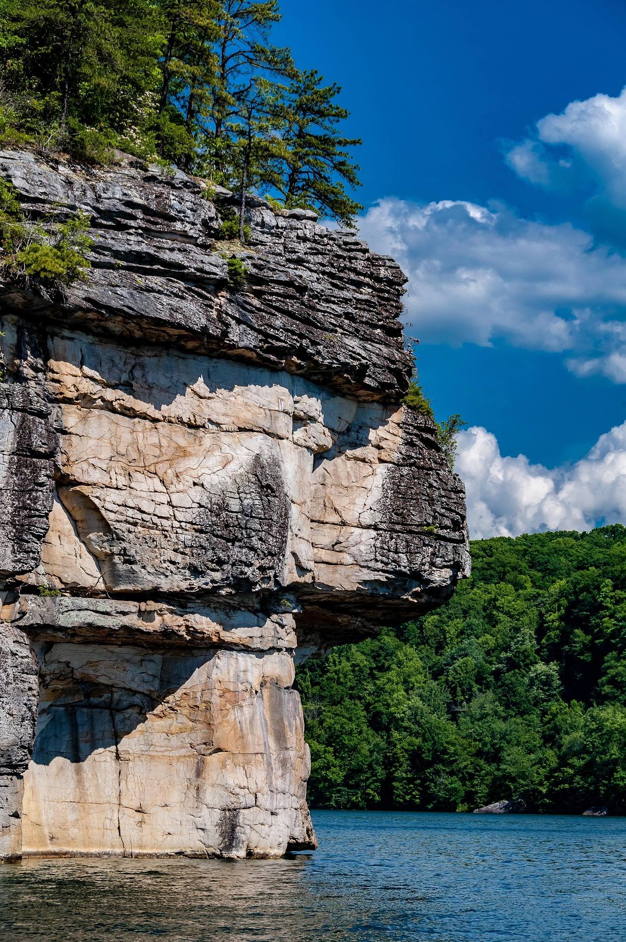 Guide · New River Gorge
Rock Climbing at Summersville Lake
Lakeside sport climbing and deep-water soloing at Summersville Lake: the walls, boat-only access, the autumn drawdown and when the rock is dry.
8 min read · August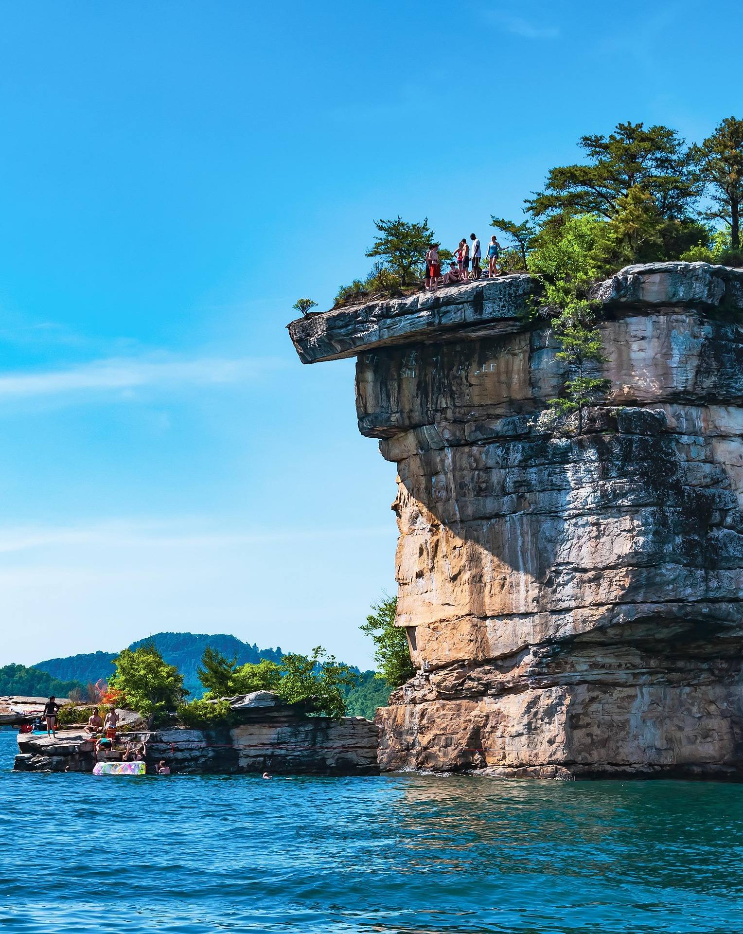 Best of
The Best Swimming Holes in West Virginia
West Virginia swimming holes and lake beaches, from Summersville Lake to CCC-built Blue Bend, with notes on the cliff-jumping risks.
7 min read · July