
Every organization we link to: local tourism offices, the state and federal agencies that manage the land, the nonprofits and clubs that keep access open, and the universities doing the research.
West Virginia has roughly 1.5 million acres of public land and a handful of places that carry almost all of the attention. The consequence is that a great deal of very good ground sits nearly empty, usually for one of three reasons: nobody has heard of it, the road in is gated or rough, or it is undeveloped and has nothing to advertise. Those are the places below — of them across regions.
Almost Heaven Swings
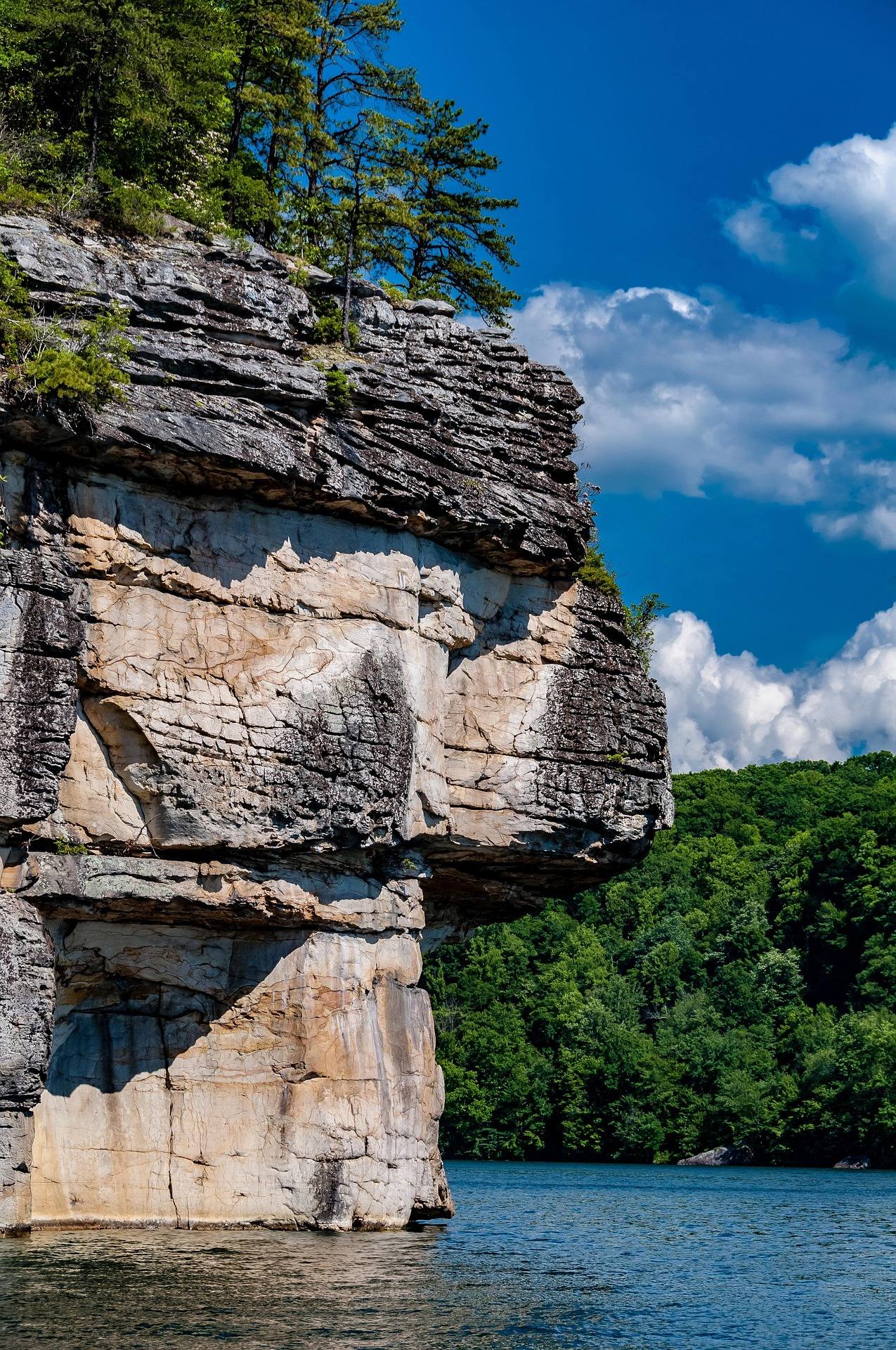
The walls above the water
Summersville Lake climbing happens on the sandstone shoreline cliffs of the largest and clearest lake in West Virginia — principally at Long Point, Pirates Cove and Whippoorwill. The rock is the same Nuttall sandstone that made the New River Gorge a national climbing destination: hard, technical and sharply featured, with a reputation for steep, powerful lines. The region's cliff bands hold more than 1,600 established routes, the largest concentration of sandstone climbing in the eastern United States, and the lake is the part of that concentration where the approach involves a swim rather than a hike.
What the lake adds to the region is two disciplines the gorge cannot offer. The first is lakeside sport climbing, bolted routes with the water directly below. The second is deep-water soloing, which is climbing without a rope over deep water. Bouldering is also listed among the lake's uses. One naming warning before you plan anything: the Long Point here is the lake's, not the Long Point Trail near Fayetteville that leads to the bridge overlook. They are different places, forty-odd minutes apart, and confusing them wastes a morning. Check which Long Point you are being given directions to before you leave the parking lot.
Deep-water soloing
Deep-water soloing is the reason a lot of climbers make the drive, and it is the discipline most misunderstood by people who have only read about it. There is no rope, no belayer and no gear — the fall is into the lake, and the whole safety argument rests on the water beneath the line being deep enough and clear of rock. The Army Corps publishes a maximum depth of 327 feet for the reservoir as a whole. It does not publish depths at the base of individual walls, which is exactly the number you would want, so treat local knowledge and your own sounding as the source rather than a lake-wide figure.
The practical consequences follow from that. You will be climbing wet, falling from height into water, and swimming back to a boat or a ledge, which makes the discipline as much about swimming fitness as about climbing grade. It also makes it a warm-weather activity in a way that roped climbing here is not. Landing water is a real hazard even when it is deep — awkward falls from height hurt — and the sport rewards climbers who downclimb rather than jumping off from the top of every attempt. Climbers who cannot swim confidently in open water should stay on the bolted routes.
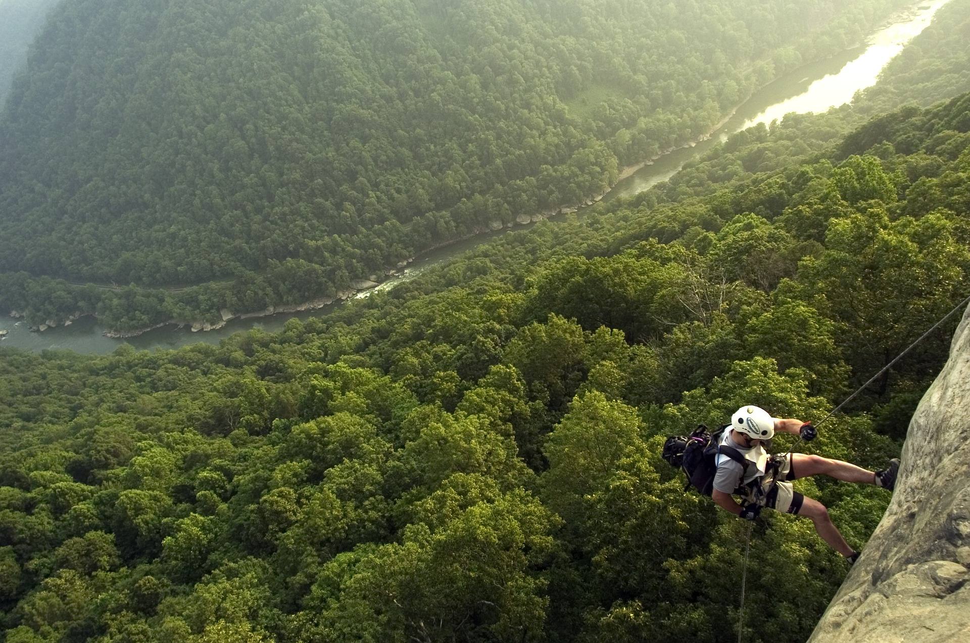
Getting to the base
Climbing access to some of the lake's walls is by boat only, and that single fact reorders the trip. A boat means a launch, a place to leave the vehicle, fuel or paddling effort, and a plan for keeping ropes and shoes dry in transit. It also means the weather matters twice: once for the rock and once for the crossing. The lake carries unlimited horsepower with no-wake and restricted zones inside that, so expect powerboat traffic and wake on summer weekends, particularly in the afternoons. Mornings are the calmer half of the day for a crossing.
Water clarity is best in early summer, before algae, which is also when the lake sits at summer pool and the shoreline matches the map. If you are paddling in rather than motoring, budget the return trip honestly — a kayak crossing that felt easy at nine in the morning is a different crossing at four in the afternoon with wind on open water. Anyone climbing from a boat should plan to have someone competent staying with it. The lake is a Corps of Engineers reservoir, and the boating rules that apply on it — registration and education requirements among them — come from the WVDNR boating program, which matters if you are trailering your own boat in.
The September drawdown
Every autumn the reservoir is drawn down for flood storage and to supply the scheduled Gauley releases below the dam, and this is the single most important thing to understand about the timing of a climbing trip here. The drawdown changes the shoreline and it changes the base of the cliffs. Routes that start at the water in July do not start at the water in October, and the landing zone under a deep-water solo is not the same landing zone. The change is not marginal in a reservoir that gives up water for the release weekends downstream.
That collides with the usual advice for this rock. Spring and fall are prime for sandstone in West Virginia, and fall is when the gorge is at its best — but at the lake, fall is when the water leaves. Plan roped lakeside routes and deep-water soloing for the high-water months, and save October for the cliff bands in the gorge itself. If you are coming in the shoulder weeks around Labor Day, ask locally what the level is doing rather than assuming last year's conditions. The dam's release schedule is the other clock running here, and the Corps sets it rather than the weather.
When Summersville Lake climbing is in condition
The sport climbing season in this state runs March through November and rates Intermediate to Expert, which is an honest reflection of the grade distribution rather than gatekeeping — this is not a region with an abundance of easy sport routes. Spring and fall are the prime windows for the rock: sandstone in a humid summer goes greasy, and friction on steep, sharply featured stone is the whole game. August, the month most people can take a holiday, is the hardest month to climb well here. Climbers arriving from limestone should expect the grades to feel unfamiliar rather than soft.
The lake is the exception that makes August workable. Warm water and a deep landing turn heat and humidity from a problem into a reason to be there, and a greasy afternoon on bolted routes can become a deep-water soloing afternoon instead. Early starts help on roped lines. If you want the best friction the lake offers, aim for the second half of May and June, when the rock is dry, the water is up and the clarity is at its best before the algae comes in. August water is the warmest of the year, which is a large part of why the lake still works in a month when the gorge does not.
Access, hardware, and where to check first
Check the New River Alliance of Climbers access database before you go. NRAC maintains hardware, trails and landowner relationships in this region, and their database is the authoritative record of what is currently open. Some cliffs in the New River Gorge area sit on private land, and access is a privilege that groups negotiate annually — it is not a permanent condition of the landscape. The approaches themselves exist because volunteers cut and maintain them, which is worth remembering at the point where a trail looks optional. A single group ignoring a closure has cost climbers whole crags in other parts of the country.
That also means printed guides age badly. Bolts get replaced, trails get rerouted, and a wall that was open two seasons ago may not be. Fixed hardware near water and in a humid gorge deserves inspection rather than trust, and any anchor that looks wrong is worth backing up or walking away from. If you are new to the area, the fastest way to climb well here is to ask the people who maintain it what is in condition. Carry enough gear to build your own anchor rather than counting on what is already there.
If the lake is not working — wrong water level, wrong weather, wrong crowd — the alternatives are close. The gorge's 1,600-plus routes are the obvious fallback, and the Meadow River has been one of the most significant new-route developments in the East over the past decade, with hundreds of routes on clean sandstone in a deep, quiet gorge. Development that fast means the information changes fast: check Mountain Project for what exists, and follow the Meadow River Valley Association for access. Battle Run is the Corps campground on the lake, and Summersville Lake State Park has three campgrounds on 177 acres of the north shore.
Reach people planning this trip
Placement alongside guides for outfitters, guides, shops and lodging.
List your business hereQuestions
Is there deep-water soloing at Summersville Lake?
When is the best time to climb at Summersville Lake?
Do you need a boat to climb at Summersville Lake?
How does the drawdown affect climbing?
How hard is the climbing at Summersville Lake?
Where do I check access before going?
Read next
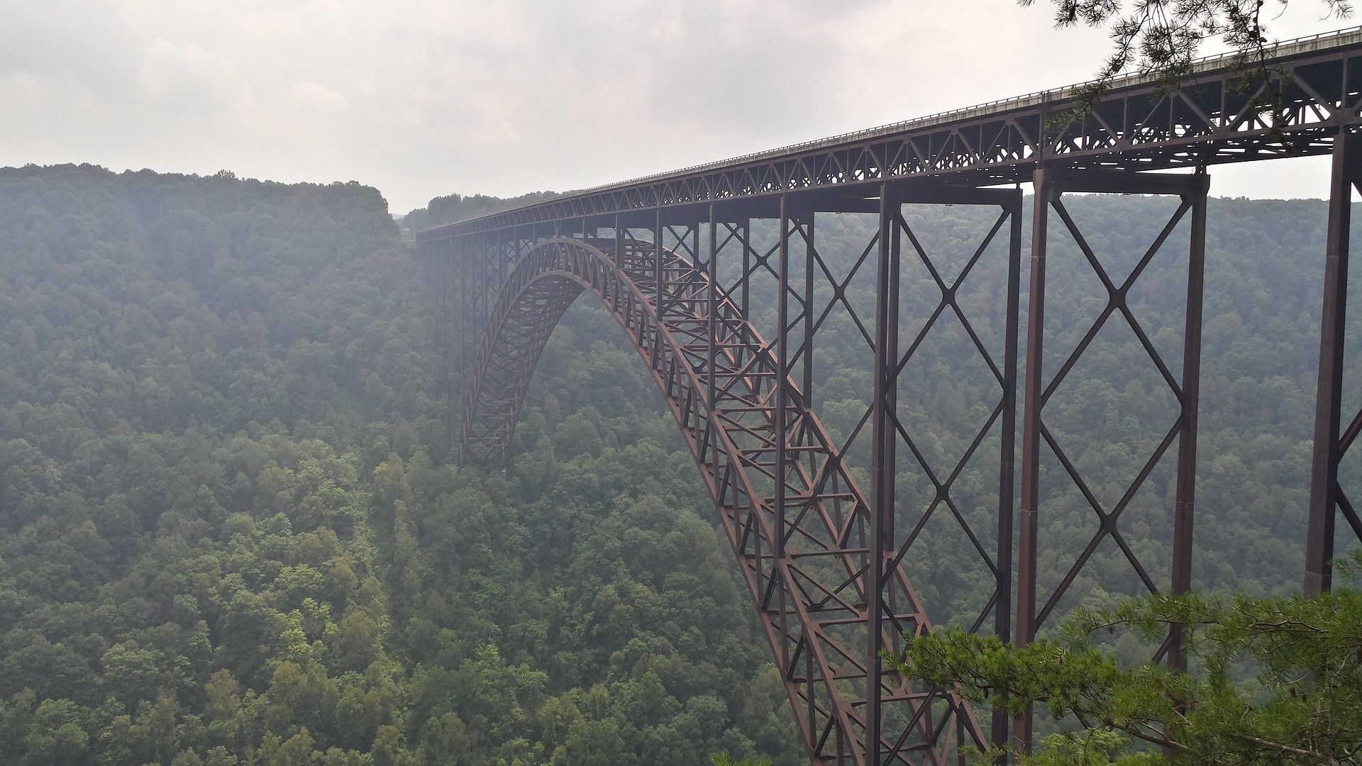 Destination · New River Gorge
Things to Do in New River Gorge National Park
A complete guide to New River Gorge National Park: the best hikes, whitewater, climbing and overlooks, plus where to base yourself and when to come.
12 min read
Best of · New River Gorge
The Best Hikes in New River Gorge National Park
Fifteen New River Gorge hikes ranked by what you get for the effort, with NPS distances, parking notes, and the one classic trail that is closed until 2027.
10 min read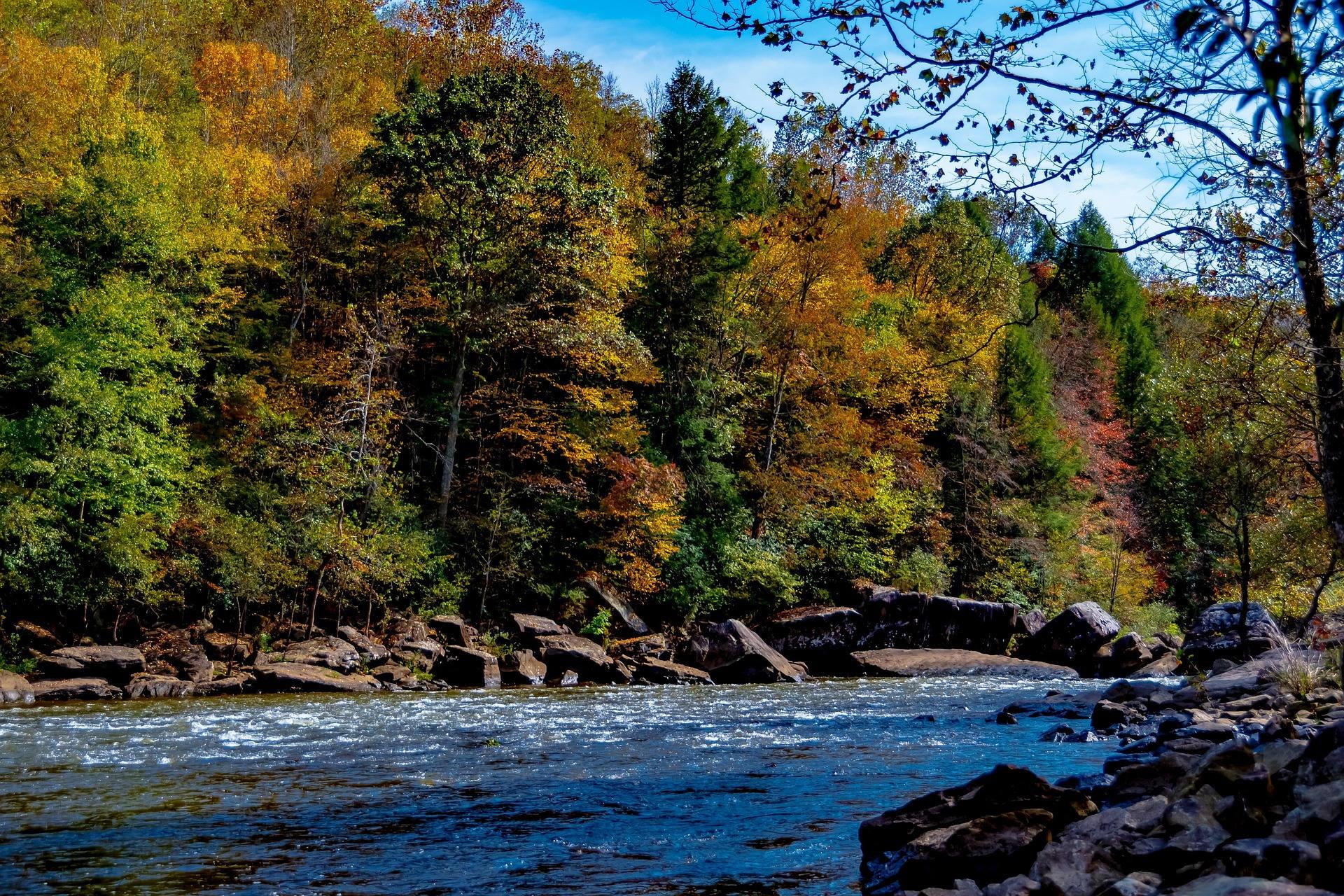 Guide · New River Gorge
Gauley Season: A Complete Guide
Everything to know about Gauley Season in West Virginia: how the dam releases work, Upper versus Lower Gauley, minimum ages, when to book and what to expect.
8 min read · September