
Every organization we link to: local tourism offices, the state and federal agencies that manage the land, the nonprofits and clubs that keep access open, and the universities doing the research.
West Virginia has roughly 1.5 million acres of public land and a handful of places that carry almost all of the attention. The consequence is that a great deal of very good ground sits nearly empty, usually for one of three reasons: nobody has heard of it, the road in is gated or rough, or it is undeveloped and has nothing to advertise. Those are the places below — of them across regions.
Almost Heaven Swings
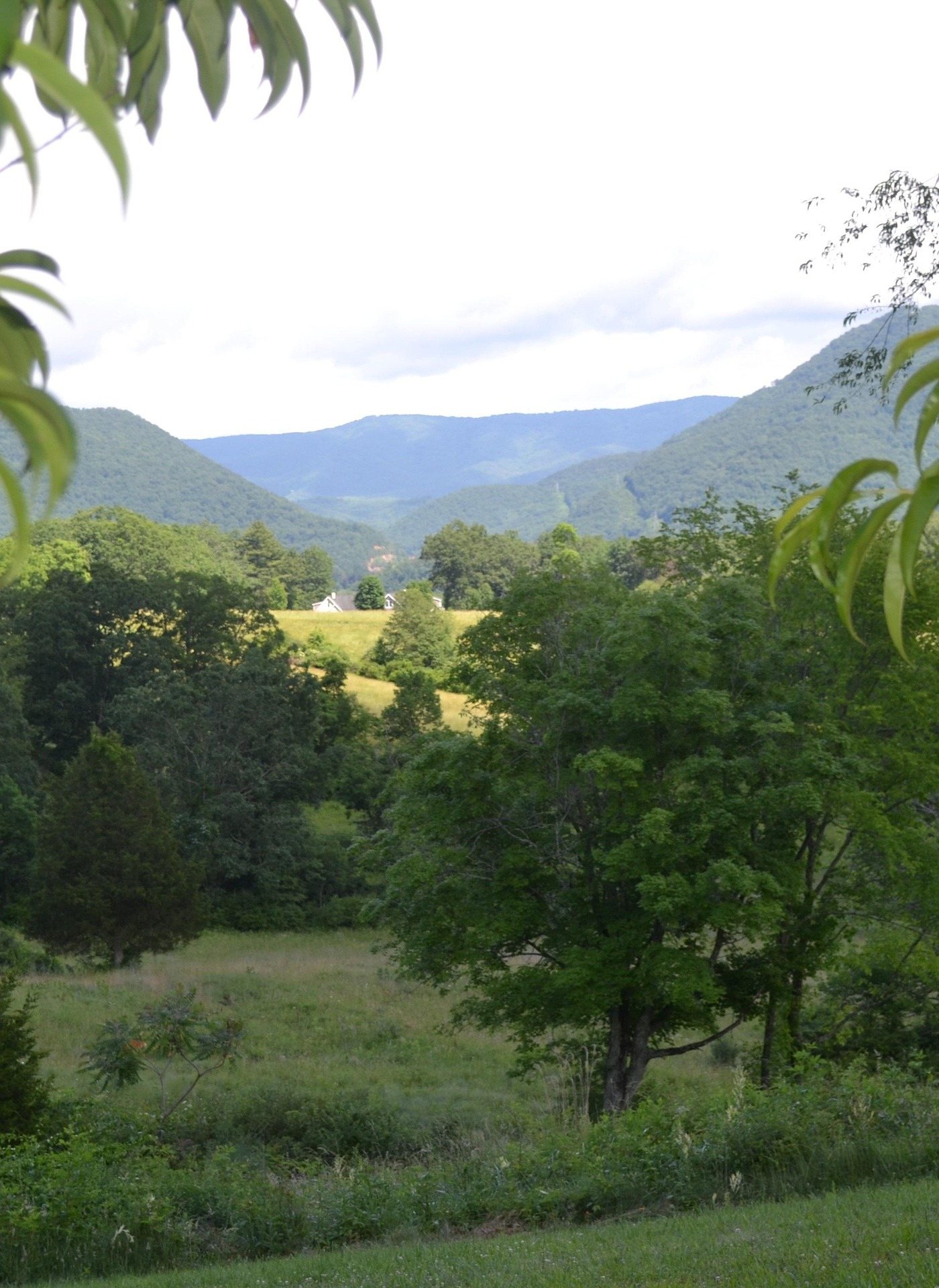
What the falls actually are
Valley Falls State Park hiking is riverbank hiking. The park covers 1,145 acres on the Tygart Valley River south of Fairmont, and the falls it is named for are a series of ledge drops rather than one plunge: the river arrives wide, splits around blocks of rock, and steps down over shelves. At low summer flows those shelves stand exposed and people spread out across them. In spring, with melt and rain in the drainage, the same shelves sit under fast water and the whole reach reads as one long rapid. Photographers keep coming back for that difference, and it is why the park looks like two different places depending on the month you arrive.
The park is also a townsite. Mills once used the drop here, and the short trails run along the riverbank and through the old mill town site past what is left of it. West Virginia State Parks manages the unit and publishes it at wvstateparks.com. Beyond the acreage and the falls themselves, the agency does not publish much in the way of numbers for this park — no trail mileages, no elevation gain, no stated loop distances — so anyone planning a day here is working from the map at the trailhead rather than from a table of figures.
Valley Falls State Park hiking, and what the trails are like
The trails are short. What the park describes is riverbank path and walking through the old mill town site, and the distances are the kind measured in fractions of an hour rather than in miles. Most visitors go to the water, stop, and turn back, which leaves the ground near the falls crowded and the ground a few hundred yards past it quiet. None of the walking is technical, but it is rock and root beside a river, wet where seeps cross the tread, and slick under fallen leaves once the hardwoods turn. Shoes with grip matter more here than boots with ankle support.
Mountain bike trails have been developed on the ridge above the river, which is worth knowing before you set out on foot. Expect to share tread, or at least to meet riders where the ridge trails come near the river trails. West Virginia State Parks does not publish a mileage figure for the ridge network any more than it does for the riverbank paths. If you want stated distances before you commit to a walk, the nearest place in this part of the state that publishes them is Coopers Rock State Forest to the northeast, where the agency lists trail lengths outright.
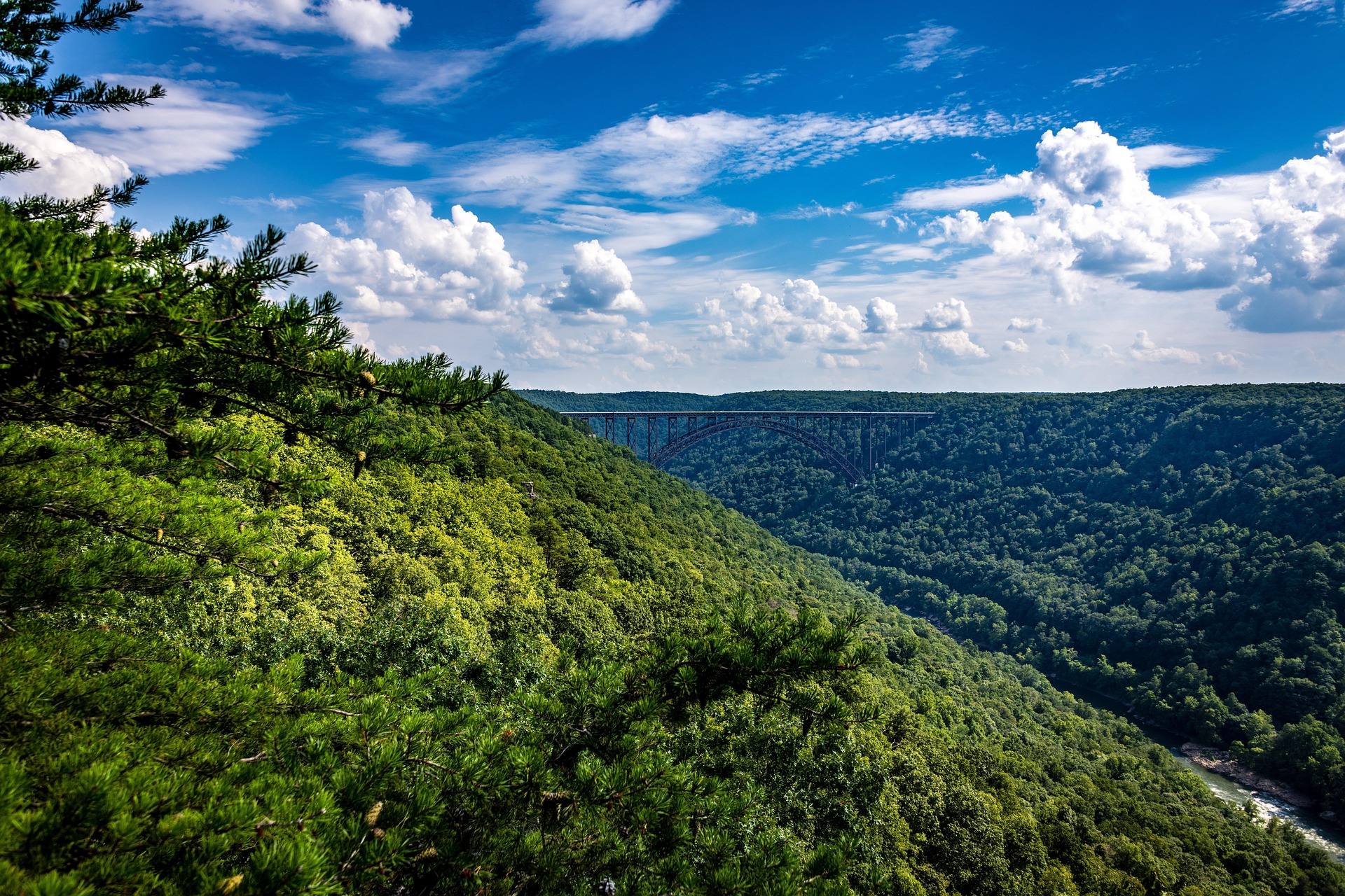
The rock near the falls, and why the park warns about it
The park's own caution is blunt: the rocks near the falls are slick and the current is stronger than it looks. Both halves matter. Rock that sits in spray never dries, and river rock that spends part of the year underwater grows a film that gives no warning underfoot — it looks like clean sandstone and behaves like wet tile. People walk out onto the shelves because the shelves are flat and inviting, and because at low water the far side looks reachable. The fall itself is usually not the injury. The water below it is, and the ledge that dropped you is the last thing you can get a grip on.
The second half of the warning is the harder one to see. Water moving over a smooth ledge looks slower than water moving through a boulder garden, because there is nothing for it to break against. At the levels that make the falls photogenic, the flow across those shelves is pushing hard. The agency does not publish a river-level threshold for when the rocks are safe to stand on, and there is no gauge reading that turns the warning off. Treat the wet rock as off limits and take the picture from the bank.
The river the trails look down on
The Tygart is not one river, and the reach matters more here than on most West Virginia water. No agency publishes its access sites, so the endpoints in circulation are the ones American Whitewater names. Valley Falls is one of them: the reach from Valley Falls downstream to Hammond, in Marion County, is rated Class II–IV. Facilities and fees at either endpoint are not published. Paddlers show up at the falls at the right levels to surf and play rather than to run a distance, which is part of why the parking area fills with boats in spring and not in July.
Upstream is a different proposition. The Tygart Gorge below Belington and the Arden section are both rated Class III–V, and the caution attached to them is worth repeating: neither is a step up from the easy water above them. They are different rivers. Between them sit Class I–II farm-country floats, so a reach description that reads gently in one place says nothing about the next one downstream. Read the reach, not the river name, and check levels before committing to any of it. The ledges at the park are their own piece of water, sitting between reaches that ask for different boats and different judgment, and a hiker watching from the bank is seeing one small stretch of a river that changes character several times before it gets there.
April here, and the rest of the year
April is when the falls are loudest. Spring melt and spring rain in the drainage put the ledges under water, the noise carries up the bank, and the photographs people associate with this park mostly come from that window. It is also when the tread is wettest and the rock most dangerous, so the trade is real. Hiking in West Virginia runs year-round, and this park is a year-round walk — the summer version is low water, exposed shelves, and green so thick the river disappears from the trail in places.
Autumn is the quietest and the best-footed season, with the caveat that hunting seasons overlap the best hiking weather in this state; blaze orange is the rule on wildlife management areas, and it is not a bad habit anywhere in the woods in November. Off-trail travel is not the move here in any season — rhododendron and mountain laurel make going off the path genuinely difficult across West Virginia, and the ground beside a river gorge is where that thicket is densest. Winter walking is fine on the riverbank paths, though ice forms on the rock near the water long before it forms on the trail.
Audra and Prickett's Fort, if an afternoon is not enough
A day built around Valley Falls State Park hiking runs short, and Audra State Park is the nearest place to add to it. It is a compact 355 acres on the Middle Fork River, built around a boulder-strewn swimming area and the Alum Cave boardwalk, which runs beneath an overhanging rock shelter above the water. The boardwalk trail is short, scenic and easy with children. The water is cold and the river bottom is all rounded boulders, so footwear helps. The Middle Fork reach below the ledges is a Class I–II tubing float from June through August, and Audra has a campground, which Valley Falls does not.
Prickett's Fort State Park sits on 188 acres at the confluence of Prickett's Creek and the Monongahela River, built around a reconstruction of a 1774 frontier refuge fort with living-history interpretation that runs seasonally. It has a boat launch onto the Monongahela and a trailhead on the Mon River Rail-Trail system, which makes it the flat-walking counterweight to a riverbank hike over rock. If you plan to rent tubes at Audra rather than bring your own, call the park first — the tube rental there could not be confirmed as still operating, and it is the kind of thing worth settling before you drive out with children expecting a float.
Reach people planning this trip
Placement alongside guides for outfitters, guides, shops and lodging.
List your business hereQuestions
How long are the hiking trails at Valley Falls State Park?
Can you walk out on the rocks at the falls?
When is the best time to see Valley Falls?
Is there camping at Valley Falls State Park?
Can you kayak the Tygart Valley River at Valley Falls?
Are there mountain bike trails at Valley Falls?
Read next
 Best of
The Best Hikes in West Virginia
Thirty West Virginia hikes, from 400-foot overlook walks to the Dolly Sods traverse, ordered by effort rather than by fame.
11 min read Best of · Mountaineer Country
The Best Hikes at Coopers Rock State Forest
All six Coopers Rock trails with the state's own mileages and ratings, where each one starts, and which walk replaces the closed overlook.
8 min read · October
Destination · Mountaineer Country
Things to Do Outdoors in Morgantown, West Virginia
A survey of what a Morgantown base actually reaches: 48 miles of rail-trail, a 12,747-acre forest, Cheat Lake, new singletrack and the Cheat itself.
9 min read