
Every organization we link to: local tourism offices, the state and federal agencies that manage the land, the nonprofits and clubs that keep access open, and the universities doing the research.
West Virginia has roughly 1.5 million acres of public land and a handful of places that carry almost all of the attention. The consequence is that a great deal of very good ground sits nearly empty, usually for one of three reasons: nobody has heard of it, the road in is gated or rough, or it is undeveloped and has nothing to advertise. Those are the places below — of them across regions.
Almost Heaven Swings
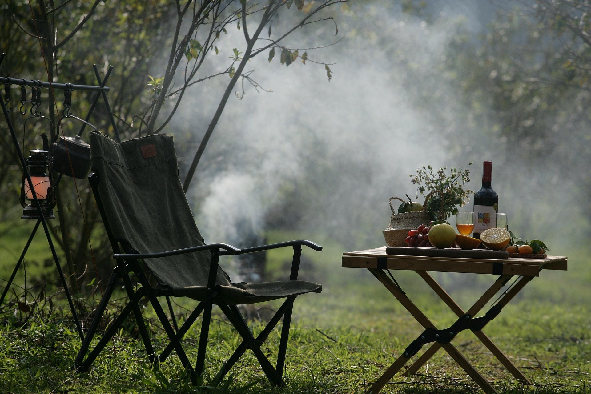
The pond
Trout Pond Recreation Area in West Virginia is built around a small piece of geology: Trout Pond itself, a one-acre sinkhole lake and the only natural lake in the state. Every other body of still water in West Virginia is impounded. This one formed where limestone dissolved and the ground gave way, and it behaves accordingly — the pond fluctuates dramatically with the groundwater rather than with the week's rainfall, so its level on the day you arrive may not be the level in the photograph that brought you. That is worth knowing before you drive out expecting a lake.
It holds native brook trout, and no vessels are allowed on it, so it is fished and looked at from the bank. One acre is small: this is a pond you walk around rather than a lake you spend a day out on. The scale is the point rather than a disappointment — a natural lake in a state that has exactly one is worth the short walk regardless of whether anything is rising when you get there. Brook trout are native here, which is not the case for most of the trout in West Virginia's stocked water.
Rock Cliff Lake
The larger water here is Rock Cliff Lake, 12 acres and man-made, and it is where the recreation actually happens. It has the sandy beach, and it takes electric motors only, which keeps it quiet. Swimming, fishing and paddling all work there in a way they do not on the one-acre natural pond next door. If you are bringing a boat, bring an electric motor or leave the motor at home entirely — a gas outboard is not going on this water. Twelve acres is enough water to paddle around and not enough to get lost on.
The two waters together are why the area works as a base for a few days rather than a stop on the way somewhere: the beach and the boating on one, the geology and the brook trout on the other, and the campground between them. Hiking, mountain biking, camping, fishing and swimming holes are the listed activities for the recreation area as a whole, and none of them requires driving out of it once you are in. Day use runs April to December, so the beach is available either side of the camping season.
Fees and seasons
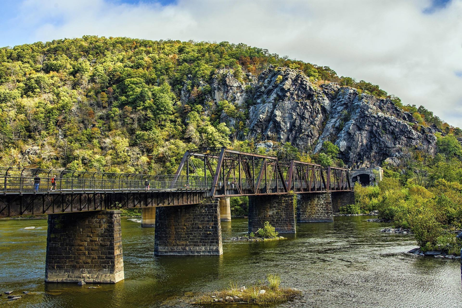
Day use is $8 per vehicle. Campsites are $25, double sites are $40, and electric hookup is $7 extra. Those are the published figures. Day use runs April to December; the campground runs only from early May to October, which is a shorter season than the day-use gate and the most common way a trip here goes wrong. If you want to camp in April or November, this is not the place to plan on. A double site at $40 is the published option for a group too large for a single site.
The campground is described as well-run and quiet, which for a national forest campground usually means loop roads in decent shape and a host who is actually present. Because it is federal ground, booking goes through Recreation.gov rather than the West Virginia state park system, and the fees above are the federal ones. That also means the campground's opening date is set by the forest rather than by the state park calendar most West Virginia camping runs on. Confirm the opening date with the district rather than assuming the first weekend of May.
Who manages it, and why that matters
Trout Pond Recreation Area in West Virginia is administered by the Lee Ranger District of the George Washington and Jefferson National Forests — not the Monongahela. Almost everything written about national forest recreation in this state is about the Monongahela, so a search for maps, trail conditions, closures or a ranger to telephone will send you to the wrong forest unless you know that. The George Washington National Forest reaches into Hardy County from Virginia, and this is the West Virginia end of it. The distinction stops being academic the moment a closure notice is posted by the wrong forest.
The practical consequence is a different set of maps and a different office. Trail conditions, fire restrictions and road closures here come from the Lee Ranger District. A Monongahela map on the dashboard does not cover this ground, and a Monongahela closure notice does not apply to it. Check the district before you drive out, particularly at the edges of the campground season when the gate date is the whole trip. The recreation area's own information comes from that district, and so does anything about the campground gate opening late or closing early.
The trails
Trails from the recreation area run toward Long Mountain and on into the Lost River State Forest country. Mileages, elevation gain, surfaces and difficulty ratings are not published for them in the material available, so this is a place to walk with the forest's own map in hand rather than with a distance in mind. What is published is the connection itself: the trail system reaches beyond the campground rather than simply looping the two lakes. Long Mountain is the direction to aim for if you want a walk longer than a circuit of the two lakes.
Mountain biking is a listed use, which on national forest ground usually means forest road and old grade rather than built singletrack. The absence of published trail figures is the honest limit here. The draw is the water, the campground and the geology; the walking is something you scope out on arrival with the map from the office rather than plan a weekend around from home. That is not a complaint about the place, only a warning against planning a hiking weekend here from a screen, and the state forest country the trails run into is unmarked in the same way.
Fitting Trout Pond Recreation Area in West Virginia into a trip
Lost River State Park is the other public land in Hardy County worth a day: 3,712 acres of CCC-era park with cabins, a working stable and the Cranny Crow Overlook at 3,200 feet, reachable by a 2-mile hike or by driving most of the way. The two make an easy pair — the state park has the long view and the horses, Trout Pond has the beach, the campground and the natural lake, and neither one needs the other to fill a weekend. Both sit in Hardy County, at the southern end of the Eastern Panhandle.
The geology links them. The Lost River sinks underground near Baker and comes back downstream as the Cacapon; the same limestone that swallows a river made the sinkhole that holds Trout Pond. June is a good month for both, with the day-use gate and the campground open, the water warm, and the region not yet down to the late-summer low flows that turn its rivers into walking. Check the Lee Ranger District for current conditions before you drive. The pond level in June says as much about the past year's groundwater as it does about the week's weather.
Reach people planning this trip
Placement alongside guides for outfitters, guides, shops and lodging.
List your business hereQuestions
Where is the only natural lake in West Virginia?
Can you take a boat on Trout Pond?
What does Trout Pond Recreation Area cost?
When is the Trout Pond campground open?
Which national forest manages Trout Pond?
Is there a beach at Trout Pond?
Read next
 Best of · Eastern Panhandle
The Best Hikes at Harpers Ferry
Every Harpers Ferry hike with official NPS distances and elevation gain: Maryland Heights, Loudoun Heights, Jefferson Rock, plus current closures.
8 min read Destination · Eastern Panhandle
Things to Do in Harpers Ferry
A guide to Harpers Ferry, West Virginia: the historic Lower Town, the best hikes and overlooks, tubing and rafting, the Appalachian Trail and where to start.
8 min read Best of · Eastern Panhandle
The Best Hiking Trails in Berkeley Springs
Trail by trail on Cacapon Mountain and Sleepy Creek Mountain: the four mileages the state park publishes, the drive-up views, and what nobody publishes.
8 min read · October