
Every organization we link to: local tourism offices, the state and federal agencies that manage the land, the nonprofits and clubs that keep access open, and the universities doing the research.
West Virginia has roughly 1.5 million acres of public land and a handful of places that carry almost all of the attention. The consequence is that a great deal of very good ground sits nearly empty, usually for one of three reasons: nobody has heard of it, the road in is gated or rough, or it is undeveloped and has nothing to advertise. Those are the places below — of them across regions.
Almost Heaven Swings
Maryland Heights, and what it really costs
The photograph everybody knows — the town far below at the confluence of the Potomac and the Shenandoah, seen from clifftops — is taken from Maryland Heights, on the Maryland side of the river. There is no vehicle access and no short version.
The Park Service publishes three official routes. From Lower Town to the overlook is 4.5 miles round trip with 1,154 feet of gain, roughly three and a half hours, rated moderate. Adding the Stone Fort loop makes it 6.2 miles and 1,522 feet, about four and a half hours. Starting from the visitor center instead makes it 9.5 miles and 1,771 feet, rated strenuous, around six and a half hours.
Any guide that describes this as an easy walk to a viewpoint is wrong, and it is the most common way people get into trouble here.
Loudoun Heights and Split Rock
The quiet alternative is Loudoun Heights. The trail runs up to 7.5 miles round trip with 1,377 feet of gain, four to five and a half hours, rated strenuous — the highest elevation of any hike in the park. Split Rock Overlook is the main destination, with panoramic views over both rivers and east into Pleasant Valley, and the Park Service also notes two further overlooks along the power line cut that almost nobody visits.
It sees a fraction of the traffic of Maryland Heights for a comparable payoff. Daylight hours only, and there is no water and no restroom on the route.

Short walks
Jefferson Rock is the right answer for most visitors: a short uphill walk from Lower Town on the 1810 stone steps past St Peter's, ending at a stacked shale outcrop above the river confluence. It is the best big view for the least effort in the Eastern Panhandle.
Two cautions. The rock is unstable and climbing on it is prohibited under federal regulation. The historic stone steps are irregular stonework and are not accessible — if mobility is a factor, this is not the option it appears to be.
Camp Hill, the Virginius and Hall's Island trails, and the towpath along the Chesapeake and Ohio Canal all give easy, flat, historically dense walking with no climbing at all. The Appalachian Trail runs directly through town, which makes a short out-and-back on it one of the more satisfying easy walks anywhere.
Current closures — check before you go
This matters more than usual at Harpers Ferry. The Goodloe Byron Memorial Footbridge, which carries walkers across the Potomac toward Maryland Heights and the towpath, has been subject to closure, and Park Service statements on its status have conflicted. Treat access to Maryland Heights as potentially disrupted and check the NPS site the week you travel.
The southern loop at Schoolhouse Ridge South has been closed for sinkholes, and several exhibit buildings in Lower Town have been closed. None of that spoils a visit, but it changes what you can plan.
Making a day of it
Harpers Ferry rewards combining a hike with the town, which is a genuinely remarkable historic site rather than a gift-shop version of one. Lower Town in the morning, Jefferson Rock, then a bigger hike in the afternoon works well.
If you want water instead of elevation, the Shenandoah flatwater tube float from Millville Dam and the Potomac whitewater float through the water gap both run out of town from May to September. They are very different trips — check the minimum ages before booking.
Reach people planning this trip
Placement alongside guides for outfitters, guides, shops and lodging.
List your business hereQuestions
How hard is the hike to Maryland Heights Overlook?
What is the easiest hike at Harpers Ferry?
Is Loudoun Heights worth it?
Can you hike from Harpers Ferry into Maryland?
Read next
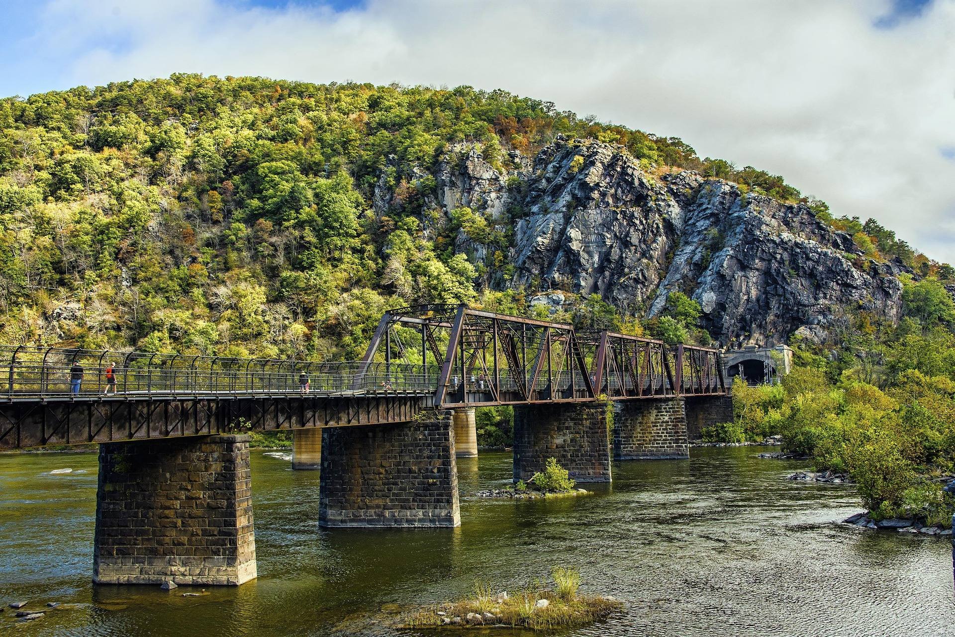 Destination · Eastern Panhandle
Things to Do in Harpers Ferry
A guide to Harpers Ferry, West Virginia: the historic Lower Town, the best hikes and overlooks, tubing and rafting, the Appalachian Trail and where to start.
8 min read Best of
River Tubing in West Virginia
Where to go river tubing in West Virginia: the Greenbrier, Cacapon, Shenandoah and Cheat, with float lengths, outfitters, season and reaches to avoid.
9 min read · July Best of
The Best Hikes in West Virginia
Thirty West Virginia hikes, from 400-foot overlook walks to the Dolly Sods traverse, ordered by effort rather than by fame.
11 min read