
Every organization we link to: local tourism offices, the state and federal agencies that manage the land, the nonprofits and clubs that keep access open, and the universities doing the research.
West Virginia has roughly 1.5 million acres of public land and a handful of places that carry almost all of the attention. The consequence is that a great deal of very good ground sits nearly empty, usually for one of three reasons: nobody has heard of it, the road in is gated or rough, or it is undeveloped and has nothing to advertise. Those are the places below — of them across regions.
Almost Heaven Swings

Where the walking is
The best hiking trails in Berkeley Springs are not in Berkeley Springs. The town's own state park is a small, urban property built around the mineral springs, walkable to everything, and it is a place to sit in a Roman bath rather than to put in six miles. The trails are on the ridges on either side of the valley. West of town, Cacapon Resort State Park covers over 6,000 acres on Cacapon Mountain and publishes a mileage and a difficulty rating for four trails. East, across the valley, Sleepy Creek Wildlife Management Area covers 22,928 acres on Sleepy Creek Mountain and publishes almost nothing about its trails.
That difference matters more than the mileage does. At Cacapon Resort you get a state park trail system with a lodge, a golf course and a lake at the bottom of it, and the park describes Cacapon Mountain as the highest mountain in the eastern panhandle at 2,200 feet. At Sleepy Creek you get the largest piece of public land in the Eastern Panhandle, a 205-acre lake, primitive camping at designated areas, and a long ridge trail system with no published figures at all. Sleepy Creek needs a map, and in autumn it needs blaze orange.
Ziler Trail, and the top of Cacapon Mountain
Ziler Trail is the one to do if you only do one. The park gives it as 5 miles, rated Moderate, climbing to the summit of Cacapon Mountain at 2,200 feet, which the park calls the highest mountain in the eastern panhandle. Surface is not published. Elevation gain is not published either — only the summit height — so if you want to know what the climb costs before you start, the agency will not tell you. The trailhead is at Cacapon Resort State Park at Berkeley Springs, and the park calls the Ziler loop to the mountain overlook its signature hike.
Five miles of moderate climbing on an unpublished surface is a real half day, and the summit is the payoff — the same mountain that carries the drive-up overlook above town. Hardwood forest covers the whole ridge, and it turns in October, which is the argument for doing this walk then rather than in August. Take more water than a five-mile day suggests at home. The park's own trail map, picked up on arrival, is the only source for how Ziler meets the rest of the network, because junction distances are not published anywhere.
Central, Laurel and Piney Ridge
Central Trail is also 5 miles and also rated Moderate, and it goes to different ground: Bear Den Rocks and valley overlooks, crossing the north and middle forks of Indian Run on the way. Gain is not published. Surface is not published. Where Ziler spends its distance on a single climb to a summit, Central spends it on rock outcrops and water crossings, and those stream crossings are the reason to pick it on a warm afternoon. Neither trail is longer than the other, which makes the choice a question of what you want at the end.
Laurel Trail is 2 miles, rated Moderate, and ends at a crag over the Sleepy Creek valley with Keefer sandstone outcrops. It is the best return on distance in the park — two miles for a view across at the other ridge. The rating is Moderate rather than Easy even at that length, so do not read the short mileage as a flat walk. Gain and surface are not published for it. If you have a half day rather than a full one, this is the trail that gets you a view and a piece of geology worth stopping at.
Piney Ridge Trail is 1 mile, rated Easy, through pine and mixed oak, and the park calls it the easiest walking in the park. It is also the only trail here carrying any published elevation figure other than a summit height: 950 to 1,100 feet, which describes the ground the trail covers rather than a climb. That makes it the walk to do with small children, or on a day when the ridge is in cloud and the overlooks are pointless anyway. It is also the trail to send somebody down when the rest of the party wants the summit and one person does not.
Sleepy Creek Mountain, where the figures stop
Sleepy Creek Wildlife Management Area is 22,928 acres — the largest WMA in the Eastern Panhandle and the most substantial piece of public land within easy reach of the Washington metro. There is a 205-acre lake, primitive camping permitted at designated areas, and a long ridge trail system. WVDNR does not publish mileages, elevation gain, difficulty ratings or surfaces for any of it. The access roads are gravel and can be rough, which is worth knowing before you take a low car up the mountain. This is hunting land first and hiking land second, and it is managed that way.
In October that changes what you wear. Hunting seasons overlap the best autumn hiking in West Virginia, and the standing advice on wildlife management areas is blaze orange — something visible from a distance, not a token hat. Rhododendron and mountain laurel make leaving the trail difficult here, which cuts both ways: you are unlikely to wander far, and you are also unlikely to shortcut back to a road. Carry a paper map as the primary one rather than the backup. The 205-acre lake gives you one fixed landmark, and fishing is among the listed uses when the walking is done.
The views you can drive to
Cacapon Mountain Overlook is a drive-up. On a clear day it gives a four-state view — West Virginia, Virginia, Maryland and Pennsylvania — from the top of the mountain above Berkeley Springs. Prospect Peak, on the same mountain just west of town, is a short drive up WV 9 with a pull-off overlook, and it was once named by National Geographic among America's outstanding views. Neither is a hike. Both are the answer when somebody in the group cannot manage five miles of moderate climbing and still wants to see what the ridge sees.
Berkeley Springs State Park itself belongs on a walking list rather than a hiking one. The springs come out of the ground at a constant 74°F, the Roman baths are still in operation, George Washington visited as a young surveyor, and the town was chartered in 1776. The park is in the middle of town and walkable to everything, and it is listed for hiking, photography and accessible recreation rather than for trail miles. It is the right end to a day on Cacapon Mountain, and the right whole day when the weather closes the ridge in.
The best hiking trails in Berkeley Springs in October
October is the month to be on these ridges. The hardwood forest covering Cacapon and Sleepy Creek mountains turns, and the Eastern Panhandle sits lower, warmer and drier than the rest of West Virginia, which stretches the comfortable walking season at both ends of the year. The region sits about 90 minutes from Washington, D.C., and that proximity is the reason Cacapon Resort State Park books out on summer weekends by the park's own account. Plan a Saturday with that in mind, or take the trails on a weekday and have the summit to yourself.
Of the best hiking trails in Berkeley Springs, only Piney Ridge is rated Easy, and only Piney Ridge carries a published elevation figure. Everything else here is Moderate, on surfaces the agencies do not describe, on a mountain whose published height varies by the page you read. That is not a reason to skip it. It is a reason to start early, carry your own water, wear orange if you are crossing to Sleepy Creek, and be off the ridge before the light goes. Sleepy Creek in particular rewards an early start, because there is no signed trailhead waiting to catch you on the way back.
Reach people planning this trip
Placement alongside guides for outfitters, guides, shops and lodging.
List your business hereQuestions
How long is the Ziler Trail at Cacapon Resort State Park?
Is there an easy hike near Berkeley Springs?
How long are the trails at Sleepy Creek Wildlife Management Area?
Do I need blaze orange to hike near Berkeley Springs in autumn?
Can you get a view near Berkeley Springs without hiking?
Read next
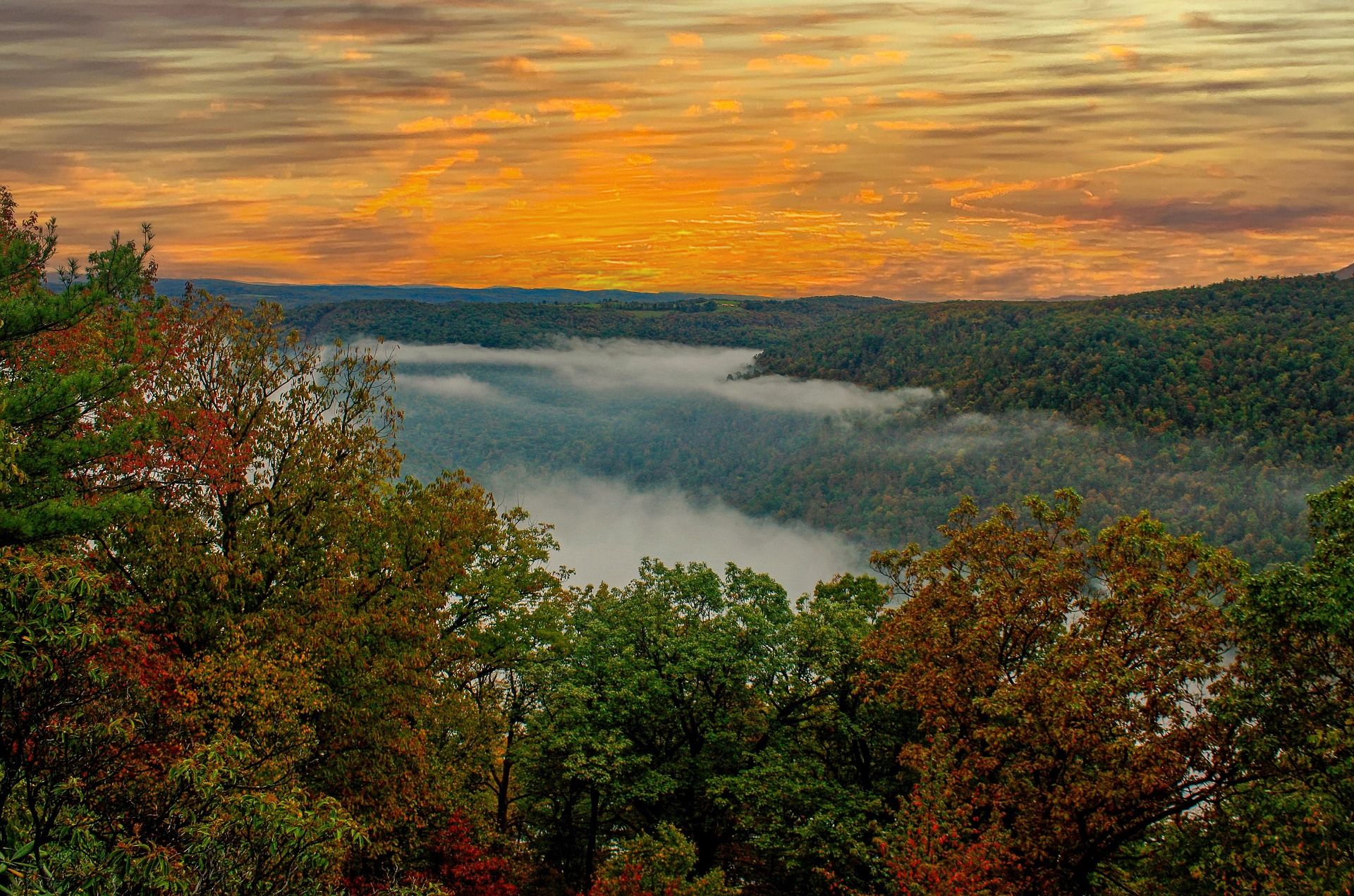 Best of · Eastern Panhandle
The Best Hikes at Harpers Ferry
Every Harpers Ferry hike with official NPS distances and elevation gain: Maryland Heights, Loudoun Heights, Jefferson Rock, plus current closures.
8 min read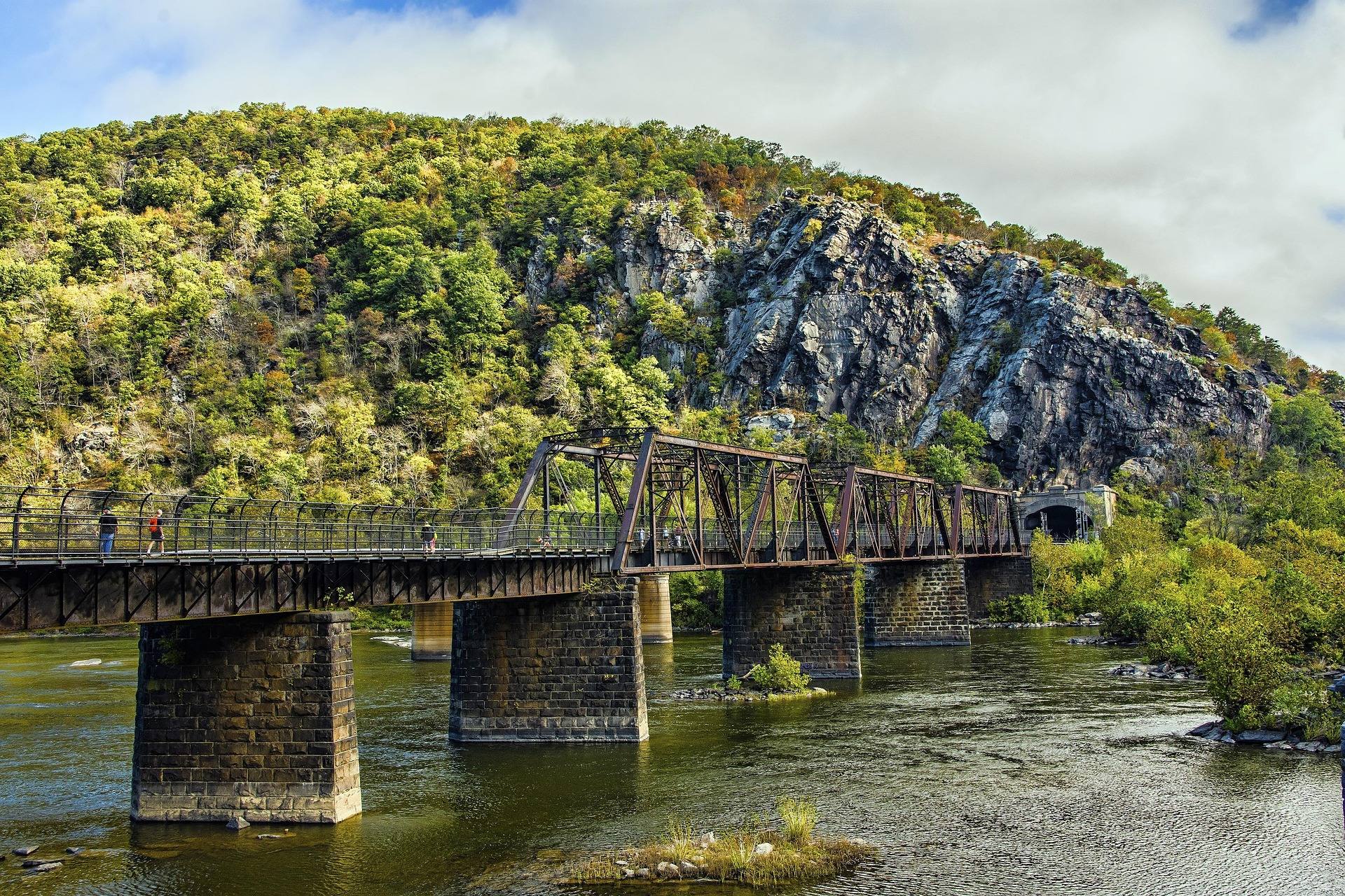 Destination · Eastern Panhandle
Things to Do in Harpers Ferry
A guide to Harpers Ferry, West Virginia: the historic Lower Town, the best hikes and overlooks, tubing and rafting, the Appalachian Trail and where to start.
8 min read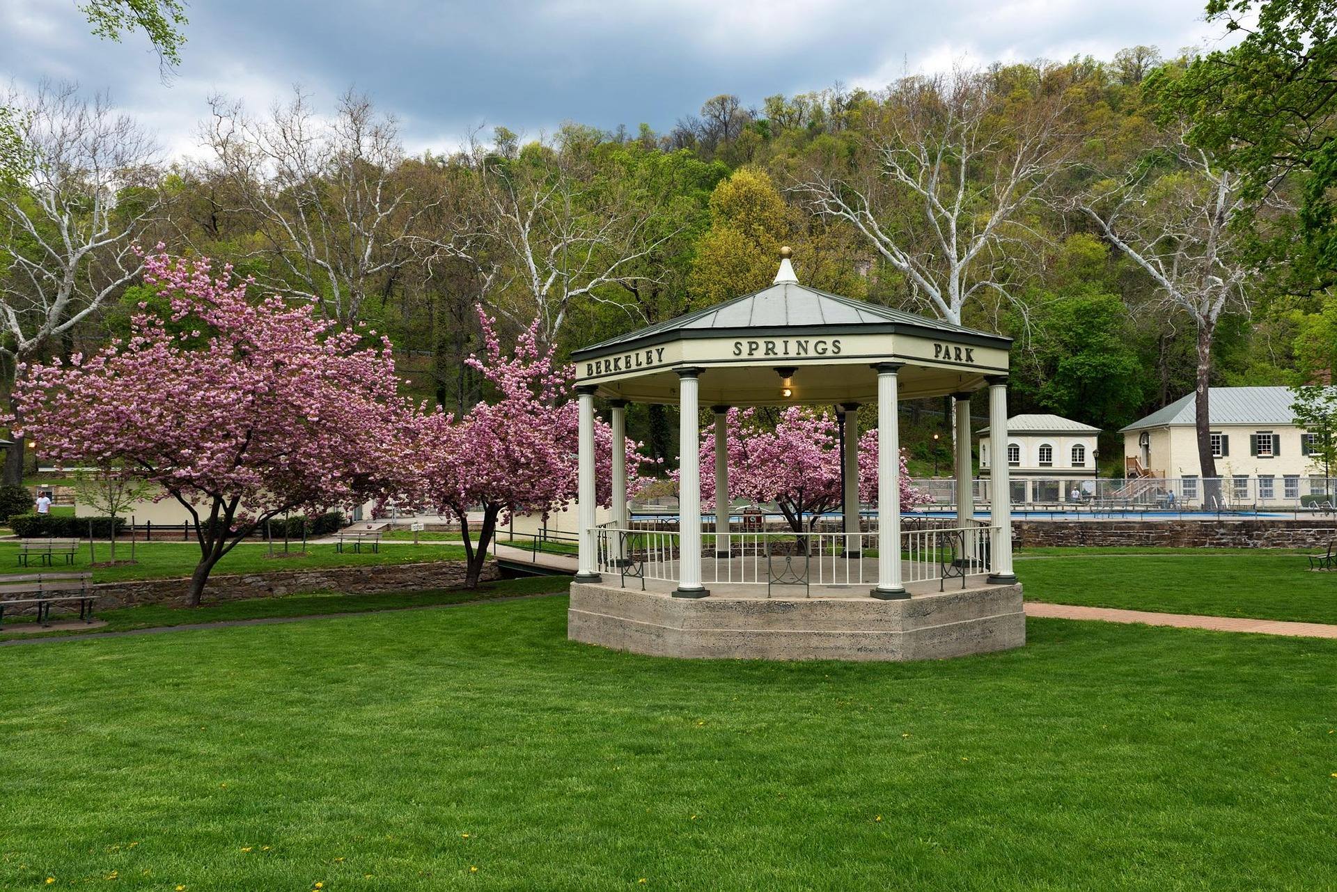 Destination · Eastern Panhandle
Things to Do Outdoors in Berkeley Springs
The springs, Cacapon Resort State Park, the Cacapon River and 22,928 acres of Sleepy Creek: what to do outdoors around Berkeley Springs, and what it costs.
7 min read