
Every organization we link to: local tourism offices, the state and federal agencies that manage the land, the nonprofits and clubs that keep access open, and the universities doing the research.
West Virginia has roughly 1.5 million acres of public land and a handful of places that carry almost all of the attention. The consequence is that a great deal of very good ground sits nearly empty, usually for one of three reasons: nobody has heard of it, the road in is gated or rough, or it is undeveloped and has nothing to advertise. Those are the places below — of them across regions.
Almost Heaven Swings

Ninety minutes is the number the whole trip turns on
The Eastern Panhandle is about 90 minutes from Washington, D.C., and that published figure does the work of a dozen. It accounts for the region's visitation and for the number of active watershed and land trust organizations working there. If you are leaving the District after breakfast and want to be home for dinner, this is your region, and it is the only one.
The Panhandle is also physically different in ways that suit a short trip. Elevations are lower, temperatures warmer and rainfall lower than elsewhere in West Virginia, and Cacapon Mountain tops out at 1,700 feet. Shoulder-season days often work here when Highlands trailheads are still snowed in or greasy with mud.
Places on this site within the region make a short list: Harpers Ferry National Historical Park, Cacapon Resort State Park, the Cacapon River, Sleepy Creek Wildlife Management Area, Berkeley Springs State Park, the Shenandoah and Potomac rivers, and Trout Pond Recreation Area. That is a season of Saturdays.
Harpers Ferry, the Potomac, and 24 miles of Appalachian Trail
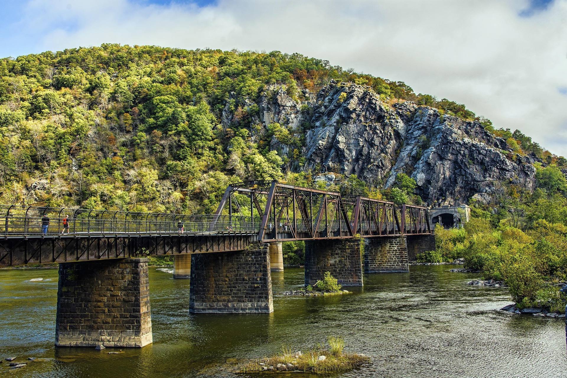
Roughly 24 miles of the Appalachian Trail run through this region, crossing the Potomac at Harpers Ferry, and that is the whole of West Virginia's AT mileage. A nationally significant footpath, a river confluence and a national historical park all sit at the near edge of the state.
Twenty-four miles is a section, not a through-hike, which suits out-and-back walking from a road crossing or a point-to-point with two cars. This site publishes no individual trail mileages, grades or parking capacities here; the National Park Service is the source for trail status, closures and where you may leave a vehicle.
No permit is required to hike on state park, state forest or Monongahela National Forest trails, and most state parks charge nothing for day use. Some federal recreation sites charge a modest fee at the gate or by envelope, and the America the Beautiful pass covers federal day-use fees where they apply.
Limestone rivers: gentle canoe water and smallmouth
Panhandle streams run over limestone rather than sandstone. The Cacapon and the Lost provide gentle canoe water and smallmouth fishing, close to the ideal day-trip profile: no whitewater-scale shuttle, no dam release to schedule around, and a fishery that rewards a half day.
Bring the paperwork. A fishing license is required for anyone 15 and older, and stocked trout water requires an additional trout stamp; licenses sell online through WVDNR and at vendors statewide. Catch-and-release, fly-fishing-only and delayed-harvest stretches carry their own rules, posted at the access points. WVDNR posts stocking by the end of each business day and runs a hotline on 304-558-3399.
Life jackets must be aboard for every person on any vessel, kayaks, canoes and paddleboards included. Motorboats must be registered, and operators born on or after December 31, 1986 need a boater education certificate. Smallmouth fishing peaks in the July and August heat, when low water also makes these rivers easiest to read.
Getting there without a car
Harpers Ferry is one of the few mid-Atlantic outdoor destinations reachable from Washington by rail. Both MARC and Amtrak serve it from the District, which turns a day hike on the Appalachian Trail into a train trip rather than a parking problem.
Illegal parking is the single most common cause of access loss at climbing areas and put-ins statewide. The rule is plain: park where you are told, and if the lot is full, go somewhere else. On an autumn Saturday this close to a major metropolitan area, expect full lots and carry a second plan.
For the rest of the state without a car, Amtrak's Cardinal serves Charleston, Montgomery, Thurmond, Prince, Hinton and White Sulphur Springs three days a week, one of the few long-distance American trains useful for reaching a national park. That is a trip, not a day out.
What does not fit in a day, and why
West Virginia roads follow creeks and ridges rather than straight lines, and sixty road miles can take two hours. No drive time from Washington to the Highlands or the New River Gorge is published on this site, and the standing advice is to check real drive times rather than estimating from a map.
The constraints stack up beyond the driving. Much of the best Highlands access is at the end of a rough or seasonally closed forest road. Assume no cell service in the Highlands, the wilderness areas, the gorges and the National Radio Quiet Zone. Fuel and services need deliberate planning in Pocahontas, Randolph, Pendleton and Webster counties.
Monongahela National Forest wilderness trails are unblazed by design and junctions often unsigned, so Dolly Sods, Cranberry and Otter Creek require map, compass and the skill to use them. Give the Highlands and the gorge a weekend each; keep the Panhandle for days.
Timing, ticks and the questions to ask someone else
September and October are the strongest weeks and the busiest. Fall color begins on the highest ridges in late September and works downhill through late October, reaching the lowest ground last, which favors the Panhandle late in the month. May and June bring the best birding of the year, with Cerulean, Golden-winged and Blackburnian warblers on territory by mid-May. November and December empty the trails.
Two cautions matter more than the low elevation suggests. West Virginia has high rates of Lyme disease and other tick-borne illness, and blacklegged and lone star ticks are active in any month above freezing: treat clothing with permethrin and check after every outing. Autumn is also peak hunting season, so wear blaze orange from October through January on any public land outside state parks, including Sleepy Creek Wildlife Management Area.
Where this site is silent, ask the manager. Hours, fees and facility details for individual Panhandle sites are not published here: WVDNR handles the state parks, forests and wildlife management areas, the National Park Service handles Harpers Ferry, and the Forest Service handles Trout Pond. The region's density of watershed groups is not decoration; join the one whose work you use.
Reach people planning this trip
Placement alongside guides for outfitters, guides, shops and lodging.
List your business hereQuestions
how far is west virginia from washington dc?
can you do harpers ferry as a day trip from dc without a car?
what is the best west virginia river for an easy paddle near dc?
is the new river gorge a day trip from washington dc?
Read next
 Destination · Eastern Panhandle
Things to Do in Harpers Ferry
A guide to Harpers Ferry, West Virginia: the historic Lower Town, the best hikes and overlooks, tubing and rafting, the Appalachian Trail and where to start.
8 min read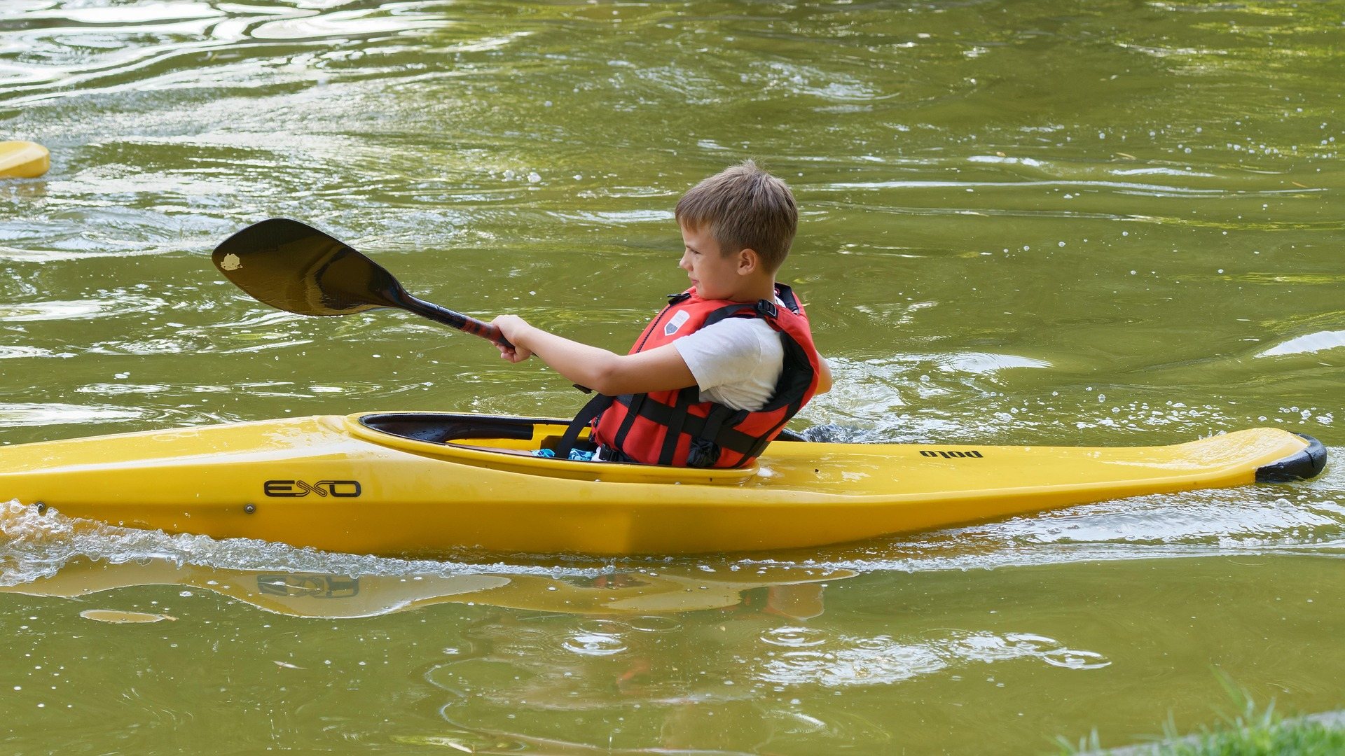 Guide · Eastern Panhandle
Canoeing the Cacapon River
Five named reaches, the Class II Caudy's Castle run, the access points nobody has confirmed as public, and when low water turns the float into a walk.
7 min read · June
Guide · Eastern Panhandle
The Appalachian Trail in West Virginia
The state's 24 trail miles, the Conservancy headquarters at Harpers Ferry, the three overlook hikes off the trail and how to walk them in a day.
8 min read · May