
Every organization we link to: local tourism offices, the state and federal agencies that manage the land, the nonprofits and clubs that keep access open, and the universities doing the research.
West Virginia has roughly 1.5 million acres of public land and a handful of places that carry almost all of the attention. The consequence is that a great deal of very good ground sits nearly empty, usually for one of three reasons: nobody has heard of it, the road in is gated or rough, or it is undeveloped and has nothing to advertise. Those are the places below — of them across regions.
Almost Heaven Swings

Eight miles of spine and a dozen connectors
Plantation Trail runs eight miles across the Canaan Mountain plateau between Davis and Canaan Valley, and it is the reason the rest of the network exists. A dozen short connectors hang off it. The published figures for the plateau are the trail's eight miles and a high point of 4,145 feet, with the ground starting around 3,100 feet.
Mountainside, Railroad Grade and Lindy Run are the usual return legs. Out along Plantation and back on one of those three is the shape of nearly every day here, and it is how most people who walk this mountain describe their route to each other.
What the record does not carry is a length for any of those connectors. You have one known side of your loop and several unknown ones, which argues against committing to the far end of the spine on a first visit.
One naming problem is worth flagging. This site's records include two different trails called Railroad Grade Trail on two different systems. The one referred to here is the Canaan Mountain connector above Davis. If you find a Railroad Grade Trail description elsewhere, check which system it belongs to before you plan from it.
Where the trail starts, and what the Forest Service has not published
There is no trailhead location, parking description or road number for Plantation Trail in this site's record. Monongahela National Forest is the managing agency, and its hiking pages are where to confirm where the trail meets a road and where you are allowed to leave a car.
Access across the Highlands generally ends at a forest road rather than a highway. Many are rough and some close seasonally. Check Monongahela National Forest alerts for road status and forest orders before you commit to the drive.
Cost is simpler. No permit is required to hike Monongahela National Forest trails, and no fee is published for this network. Davis is the nearest town with services, and the shops there are the most current source on what the tread is doing.
The plateau holds water, and your feet will know it
Wet underfoot for most of the year is a published fact about this plateau, not a seasonal caveat. The ground holds water, and the tread stays saturated well past the point where a valley trail would have dried. Plan for soaked feet from the first mile and choose boots and socks on that basis.
Much of the network follows old logging grades, cut for hauling timber rather than for drainage. The result is standing water, mud and exposed roots instead of dry hardpack, and eight miles reads longer than eight miles usually does.
For an overnight, the wet soil is the constraint. No designated sites, water sources or permit rules are published for this plateau, so camping means finding your own ground. Dispersed camping is permitted across most of the Monongahela National Forest without a permit, subject to setbacks from roads, trails and water and to stay limits. Pick durable surfaces and confirm current rules with the forest before you go.
Rhododendron tunnels, spruce and blueberry heath
The vegetation is what the walking is about. Rhododendron closes overhead in long tunnels, red spruce holds the higher ground, and blueberry heath fills the openings between. Sight lines are short for much of the route, which makes the plateau feel larger than its mileage suggests.
That mix belongs to the elevation band. Between 3,100 and 4,145 feet this is northern forest rather than mid-Atlantic hardwood, and it behaves that way in temperature, moisture and growing season.
No named overlook or viewpoint appears in the record for this network. Treat the interest as ground-level: the tunnels, the spruce, the grades themselves. If you want a view to plan around, the Canaan Valley and Blackwater Falls areas below are where the published overlooks are.
The mountain that keeps snow after the valley goes bare
Snow lies on Canaan Mountain when the valley floor is bare. That is the published reason the ski touring and snowshoeing happen up here rather than below, and it is a product of upslope snowfall off the Allegheny Front concentrating in Tucker County.
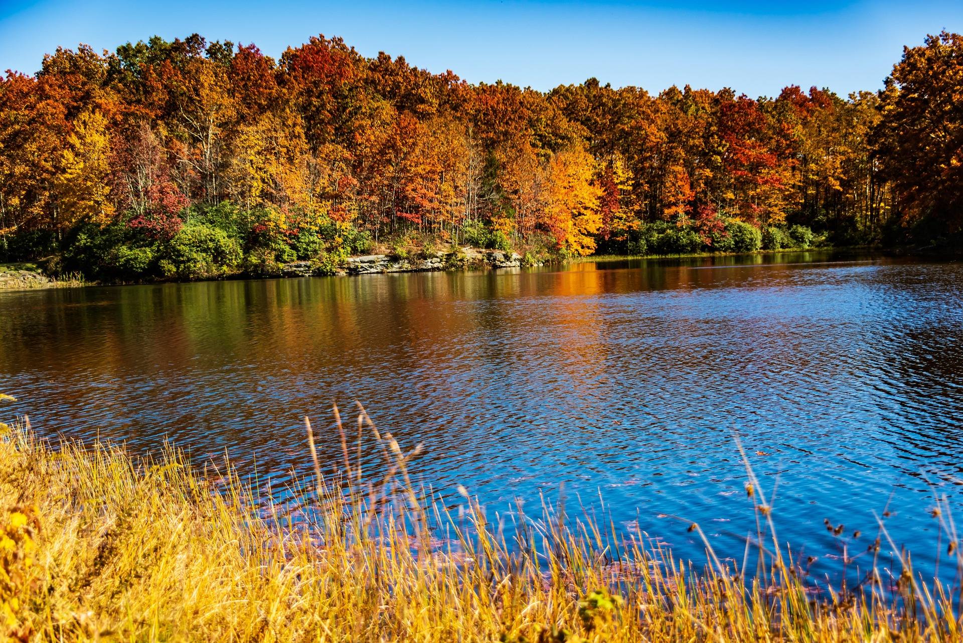
In July and August the elevation works the other way, keeping this cooler than anything below 2,500 feet. Trails are green, buggy and quiet in those months. September and October bring the year's busiest period statewide, with color starting on the highest ridges in late September, and lodging in Davis booking months ahead.
November and December strip the leaves and empty the trails, and the first reliable snow reaches the Canaan Valley snow belt in December. March and April are the worst of it: mud everywhere, and high-elevation trailheads that may still be snowed in.
Bikes, skis and who else is on the tread
This is the network the White Grass and Davis shops point riders toward, so expect to share Plantation Trail and its connectors with mountain bikes through the riding season. The same wet, rooty tread that slows walkers slows riders.
In winter the same lines become the cross-country and backcountry ski network, on old logging grades between 3,100 and 4,145 feet. Grooming, if there is any, is not published. Ask in Davis or check the White Grass conditions report before you drive up with skis.
Cold, no signal, and the rest of the risk list
Highlands weather is not mid-Atlantic weather. Canaan Valley regularly runs twenty degrees colder than the valleys, with wind and driving rain in June, and hypothermia is a real risk in any month at this elevation. Carry insulation and a shell regardless of the forecast where you park.
Assume no cell service. Download offline maps before you leave pavement, and remember that backcountry rescue here often means volunteer squads and a long carry-out. Tell someone your route and your return time.
Ticks are active any month above freezing and West Virginia has high rates of Lyme disease, so treat clothing with permethrin and check thoroughly afterward. Rhododendron thickets are also where copperheads and timber rattlesnakes turn up. Step onto logs rather than over them, and leave the snakes alone.
From October through January, wear blaze orange. This is national forest rather than a state park, hunting is permitted in season, and autumn is peak hiking and peak hunting at once. Put orange on the dog too.
Reach people planning this trip
Placement alongside guides for outfitters, guides, shops and lodging.
List your business hereQuestions
How long is the Plantation Trail?
How hard is the Plantation Trail?
Where is the Plantation Trail trailhead?
Do you need a permit to hike or camp on Canaan Mountain?
Read next
 Best of · Potomac Highlands
The Best Hikes in Canaan Valley
Trail by trail on the Canaan Mountain plateau and the valley floor: lengths, surfaces, elevations, and the wet ground the Forest Service warns about.
8 min read · September
Destination · Potomac Highlands
Things to Do in Davis and Thomas, West Virginia
A guide to Davis and Thomas, West Virginia: Blackwater Falls, Dolly Sods access, Canaan Valley skiing and two of the best small towns in Appalachia.
8 min read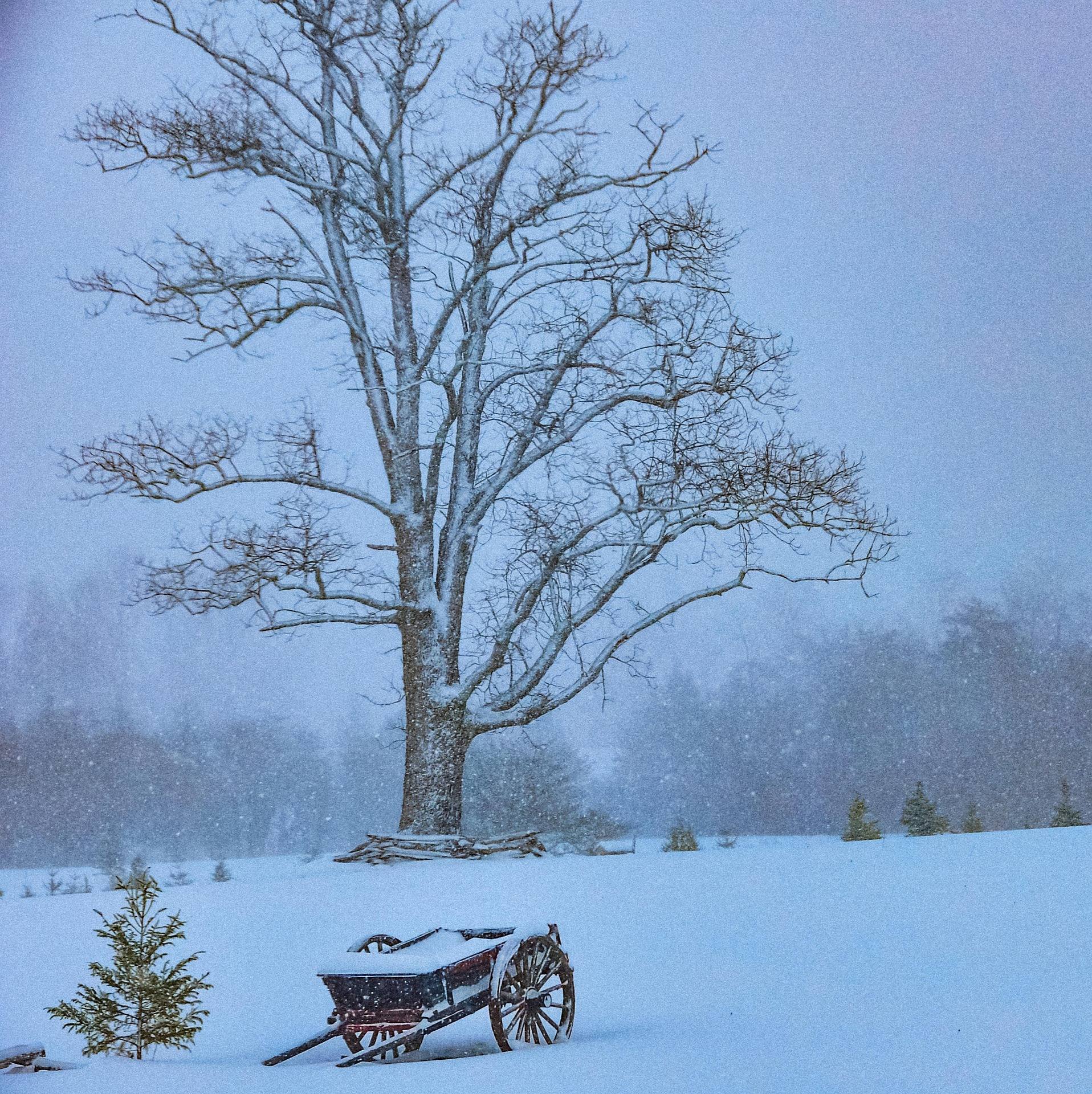 Guide · Potomac Highlands
Cross-Country Skiing at White Grass
How White Grass works: 50-plus kilometers on Cabin Mountain, why the upper trails hold snow, rentals and lessons, and where to ski when it turns thin.
7 min read · February