
Every organization we link to: local tourism offices, the state and federal agencies that manage the land, the nonprofits and clubs that keep access open, and the universities doing the research.
West Virginia has roughly 1.5 million acres of public land and a handful of places that carry almost all of the attention. The consequence is that a great deal of very good ground sits nearly empty, usually for one of three reasons: nobody has heard of it, the road in is gated or rough, or it is undeveloped and has nothing to advertise. Those are the places below — of them across regions.
Almost Heaven Swings
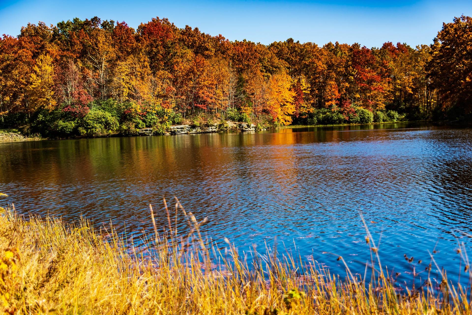
Where the Canaan Valley hiking trails begin
The Canaan Valley hiking trails sort themselves by elevation before anything else. The valley floor is a 14-mile bowl of wetland, bog, beaver meadow and northern hardwood at about 3,200 feet, and the level, easy walking is down there. Above it, the Canaan Mountain plateau runs from 3,100 to 4,145 feet between Davis and Canaan Valley, and that is where the backcountry footpaths are. The two are minutes apart, so a weekend can use both: a plateau loop on the good day, boardwalk and level grade on the day the weather turns.
Most of the plateau is Monongahela National Forest ground, reached off WV 32 between Davis and Canaan Valley. The Forest Service publishes lengths for these trails and, in almost every case, no elevation gain figure at all, so plan by hours rather than by feet climbed. Surface matters more here than distance anyway. Several of these routes are turn-of-the-century logging grades and walk fast; others are rhododendron tunnel and do not. Blazing is light, and in places absent — a map and a GPS track are standard equipment on this mountain rather than a precaution.
Plantation Trail, the spine of Canaan Mountain
Plantation Trail (FT 101) runs 8.0 miles across the plateau and is the trail every connector joins. The Forest Service gives the backcountry it crosses as 3,100 to 4,145 feet and publishes no gain figure for the trail itself. What the distance buys is spruce, blueberry heath, rhododendron and old logging grade in rotation, with wet ground under most of it. This is the closest real backcountry walking to the Canaan Valley lodges, which is why it carries more traffic than its lack of signage would suggest. Junctions with the connectors are the only reliable navigation features up here, so count them as you pass them.
Walked out and back in full it is a long day. Most people use a piece of it instead, entering from WV 32 and dropping onto a connector to make a loop of a few hours. Mountainside, Railroad Grade and Lindy Run are the usual return legs. Snow lies on this plateau when the valley floor is bare, which is the reason the ski touring happens up here and also the reason a March hike can turn into a postholing exercise. Late summer and early autumn are the driest the ground gets.

The connectors that make loops
Mountainside Trail (FT 114) is the long one at 6.0 miles, a side-hill route and the standard way back to a car left near the Plantation Trail. Railroad Grade Trail (FT 110) is 1.8 miles on an old logging grade and is as level as anything on the mountain. Lindy Run Trail (FT 109) is 1.3 miles, dropping toward Lindy Run. None of the three has a published elevation gain figure, so the honest planning number is the mileage plus whatever the mud costs you on the day. All three leave the Plantation Trail, so a loop always returns to the same spine.
Combined, they make the loops the Davis shops and White Grass send people to in every season: walked in summer and autumn, skied and ridden the rest of the year. Because the connectors are short, the difference between a two-hour outing and a full day is one junction decision, which is worth settling before you are standing at the junction with no sign to read. The plateau holds water, and the flattest ground is often the wettest — the railroad grades are level, not dry. Primitive camping is permitted up here, which makes a two-day version of the same loop straightforward.
Bald Knob, for the widest view of the valley
Bald Knob Trail is 2.5 miles, rated easy to moderate by the state park system, and finishes on a 4,308-foot summit with the widest view over Canaan Valley. It starts at Canaan Valley Resort State Park, a 6,015-acre resort park on the valley floor, either from the parking lot or from the top of the chair lift. That makes it the one hike here you can shorten mechanically, and the one to pick for company that wants a long view without committing to a backcountry day. The park also holds a lodge, cabins, a golf course and camping, so the hike can be a morning rather than the whole trip.
The upper section crosses the open ground of the ski area, so nothing stands between you and the weather; the valley's reputation for cold, wet cloud is earned, and a summit that was clear from the parking lot may not be when you get there. Timberline Mountain, the valley's other ski area, is set up for skiing and snowboarding rather than walking, so do not build a hiking day around it. For short, flat walking on the same side of the valley, the resort park's Nordic trails run toward the national wildlife refuge.
Wet ground, cool air, and blaze orange
Water shapes the hiking calendar here first. The plateau is wet underfoot for most of the year, and rhododendron and mountain laurel make any attempt to step around a puddle slow work. Snow shapes it second. The valley catches upslope snow that misses everywhere else in the mid-Atlantic, roughly 180 inches in an average year, and the high trails hold it well after the valley floor has cleared. Hiking in West Virginia is a year-round activity; on Canaan Mountain that comes with an asterisk from midwinter into spring. Keep a valley-floor alternative in reserve for any trip longer than a couple of days.
Summer is the compensation. Nights in the fifties in July are normal at this elevation, which makes August walking here more comfortable than anywhere lower in the state. Autumn is the busiest season and also the one that overlaps hunting seasons — wear blaze orange on wildlife management areas. Cloud is the other constant: the ridge forecast and the valley forecast are often two different documents. Carry water rather than counting on finding it. Highland water is abundant but tannic, and anything taken from a stream up here wants filtering and will still come out the color of strong tea.
Level walking on the valley floor
Canaan Valley National Wildlife Refuge covers more than 17,000 acres of the valley bottom, and its boardwalks are the way into wetland without damaging it. This is the flattest and most productive walking in the region for anyone who cares what lives here: beaver, black bear, snowshoe hare and Cerulean Warbler all occur in the valley, and beaver work is visible from the boardwalk without optics. It is also the answer on a day when the plateau is saturated and you still want to be out on foot. The valley is one of the few places in the Highlands with adaptive recreation and outdoor education programs on the ground.
A few ground rules apply to the Canaan Valley hiking trails as a set, and they are worth knowing before you drive up. The Canaan Mountain network is shared with mountain bikers and, in winter, with skiers and snowshoers, so expect company on Plantation Trail and its grades even where you have seen nobody for an hour. Dispersed camping is permitted across much of the Monongahela National Forest, which makes an overnight on the plateau simpler than one in a state park. Trail running works on the railroad-grade sections and is hard work almost everywhere else. Download the map in Davis rather than assuming you can pull it up at a junction.
Reach people planning this trip
Placement alongside guides for outfitters, guides, shops and lodging.
List your business hereQuestions
How long is the Plantation Trail?
Are the trails on Canaan Mountain marked?
What is the easiest hike in Canaan Valley?
How high is Canaan Valley?
When is the ground driest?
Can you hike at Timberline Mountain?
Read next
 Destination · Potomac Highlands
Hiking Dolly Sods
A practical guide to hiking Dolly Sods Wilderness: the main trails, route options, why it is navigationally serious, and how to reach Bear Rocks.
9 min read
Destination · Potomac Highlands
Things to Do in Davis and Thomas, West Virginia
A guide to Davis and Thomas, West Virginia: Blackwater Falls, Dolly Sods access, Canaan Valley skiing and two of the best small towns in Appalachia.
8 min read Destination · Potomac Highlands
Blackwater Falls State Park
A complete guide to Blackwater Falls State Park: every waterfall and overlook, Lindy Point at sunset, the trails, lodging and the best season to visit.
8 min read · October