
Every organization we link to: local tourism offices, the state and federal agencies that manage the land, the nonprofits and clubs that keep access open, and the universities doing the research.
West Virginia has roughly 1.5 million acres of public land and a handful of places that carry almost all of the attention. The consequence is that a great deal of very good ground sits nearly empty, usually for one of three reasons: nobody has heard of it, the road in is gated or rough, or it is undeveloped and has nothing to advertise. Those are the places below — of them across regions.
Almost Heaven Swings
Where the snow actually lies in January
Upslope snowfall, generated when moist air is forced up the Allegheny Front, drops far more snow in Tucker, Preston and Pocahontas counties than in anything around them. January and February are when that runs hardest, producing conditions in the Canaan Valley snow belt that nothing else in the mid-Atlantic matches while valleys forty miles west stay brown.
Canaan Mountain Backcountry is the clearest illustration. Snow lies on this plateau when the valley floor below it is bare, which is why the ski touring happens up here rather than down in Davis. Canaan Valley, Timberline, White Grass and Snowshoe are all running in these weeks, and their snow reports are the fastest read on what is on the ground.
Blackwater Falls in ice is one of the great sights in the state, and it sits under the same weather. Between the plateau and the park you have most of what winter hiking here means: one place to walk far, one to walk to something.
Canaan Mountain once the plateau freezes
The backcountry runs between 3,100 and 4,145 feet on the plateau between Davis and Canaan Valley. Plantation Trail is the spine at eight miles, with a dozen short connectors hanging off it, and Mountainside, Railroad Grade and Lindy Run are the usual return legs. That is how a loop gets built here.
The plateau holds water and the tread stays wet most of the year, which makes summer walking a slog. Freezing changes the arithmetic. Once the ground is hard and the low spots have filled in, the same line walks better on snowshoes than in June, and rhododendron tunnels and spruce keep much of it sheltered from wind.
Nothing published covers grooming or track-setting on Canaan Mountain, and the same is true at Blackwater Falls. Ask in Davis before you load skis. The shops there and White Grass know what has been broken out.
Camping on the plateau means finding your own ground off Plantation Trail or a connector, with no designated sites or water sources published. Dispersed camping is permitted across most of the Monongahela National Forest without a permit, subject to setbacks and stay limits, and wet soil narrows the choice of tent ground considerably. Confirm current rules with the Forest Service.
Blackwater Falls with the steps under ice
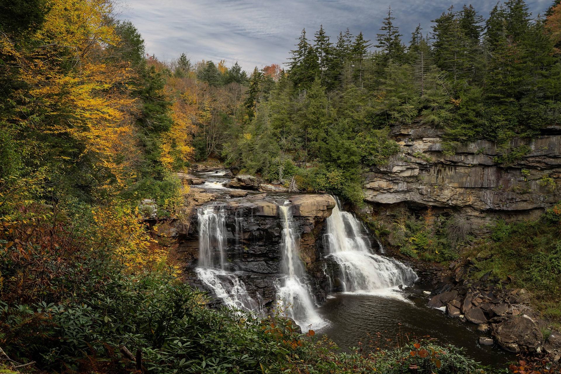
The falls drop 57 feet into an eight-mile canyon, the water stained amber by hemlock and spruce tannins. The boardwalk down to the viewing platforms is a quarter mile and more than 200 steps, which in winter is the hard way to go. The paved Gentle Trail covers a quarter mile without stairs and is the sane choice on ice.
Twenty-one trails run in the park. River Road Trail is 1.56 miles on an old railroad grade linking the park to Davis, and a railroad gradient is the gentlest thing on the property under snow. Lindy Point is 0.3 miles rated moderate to difficult, out to an outcrop the park puts at 3,000 feet, and it goes slower underfoot in winter than the distance suggests.
Pendleton Point Overlook gives the deepest view down the canyon and is a drive-up. Elakala Falls is a five-minute walk from the lodge and gets passed over by most visitors. The sled run uses a magic carpet lift, sells out on holiday weekends and runs according to snow; confirm before driving up.
The cold is not the cold you drove from
Dolly Sods and Canaan Valley regularly run twenty degrees colder than the valleys, with wind and driving rain. Hypothermia is a year-round hazard in the Highlands and in January it is the main one. Cotton, wind and a long exit is the combination that puts people in trouble on that plateau.
Carry insulation and a hard shell regardless of the trailhead forecast, and plan for wet feet. The plateau holds water, and a mild spell turns frozen tread back into the bog it was in October. Boots that take a traction device earn their place when the boardwalk and rock are glazed.
Winter does not make the ground less fragile. High-elevation sphagnum bog and heath in Canaan Valley and Dolly Sods take decades to recover from a single season of trampling, so stay on the trail line and on boardwalk where there is one.
Unblazed trails and no signal
Wilderness trails in the Monongahela National Forest are unblazed by design and junctions are frequently unsigned. Dolly Sods, Cranberry and Otter Creek all require a map, a compass and the ability to use both. Snow cover hides the worn tread that stands in for signage the rest of the year, which makes route-finding harder in the month with the least daylight to spare.
Cell service is absent across most of the Highlands and restricted by law inside the National Radio Quiet Zone. Download offline maps in Gaia, onX or Avenza before you leave pavement, and a satellite messenger is not overkill here.
Backcountry rescue here often means volunteer squads, long carry-outs and no helicopter option under a canopy or in a gorge. Self-sufficiency counts for more here than where trail infrastructure is dense. Tell somebody your route and your return time.
Getting there in January
Much of the best access sits at the end of a forest service road. Many are rough, some close seasonally, and Forest Road 75 to Bear Rocks is the most notorious of them. Check Monongahela National Forest road status before you commit to a trailhead, and remember that open is not the same as cleared.
Drive times exceed what the map suggests. Sixty road miles can take two hours, US 219 is the slow spine of the Highlands and often the only option, and fuel is sparse in Pocahontas, Randolph, Pendleton and Webster counties, with what exists closing early or on Sundays. Carry more food and water than the day requires.
Davis works as a trail town, with services organized around the trail systems above it, and it is the natural base for both. Blackwater Falls operates a lodge and cabins; park cabin bookings open a year in advance and popular parks fill for holiday weekends. Day use costs nothing at any state park or forest.
Reach people planning this trip
Placement alongside guides for outfitters, guides, shops and lodging.
List your business hereQuestions
Is Blackwater Falls worth visiting in winter?
Where does it snow the most in West Virginia?
Are winter trails groomed at Blackwater Falls or on Canaan Mountain?
Do you need a permit to hike or camp in the Highlands in winter?
Read next
 Best of · Potomac Highlands
The Best Hikes in Canaan Valley
Trail by trail on the Canaan Mountain plateau and the valley floor: lengths, surfaces, elevations, and the wet ground the Forest Service warns about.
8 min read · September
Destination · Potomac Highlands
Blackwater Falls State Park
A complete guide to Blackwater Falls State Park: every waterfall and overlook, Lindy Point at sunset, the trails, lodging and the best season to visit.
8 min read · October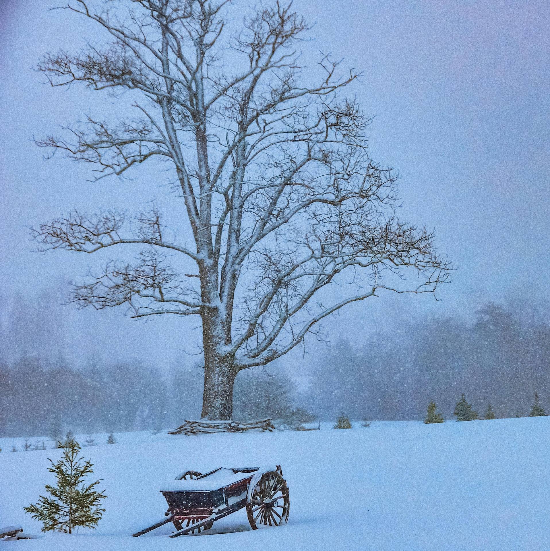 Guide · Potomac Highlands
Cross-Country Skiing at White Grass
How White Grass works: 50-plus kilometers on Cabin Mountain, why the upper trails hold snow, rentals and lessons, and where to ski when it turns thin.
7 min read · February