
Every organization we link to: local tourism offices, the state and federal agencies that manage the land, the nonprofits and clubs that keep access open, and the universities doing the research.
West Virginia has roughly 1.5 million acres of public land and a handful of places that carry almost all of the attention. The consequence is that a great deal of very good ground sits nearly empty, usually for one of three reasons: nobody has heard of it, the road in is gated or rough, or it is undeveloped and has nothing to advertise. Those are the places below — of them across regions.
Almost Heaven Swings

The summit, and what the road gets you
Spruce Knob hiking is unusual in that the altitude is handed to you. At 4,863 feet this is the highest point in West Virginia and the high point of the entire Allegheny range, and a road runs to the top of it. The summit road is paved. What it is not is quick: the approach is long and winding, and the drive consistently takes people more time than the distance on a map suggests. Build that into the day rather than treating the summit as a stop between two other things, because arriving with twenty minutes of daylight left is the standard mistake here.
At the top there is a stone-and-steel observation deck and a short paved loop through one-sided spruce — trees flagged by wind that comes from the same direction all year. The Monongahela National Forest manages the summit as part of the Spruce Knob–Seneca Rocks National Recreation Area, 100,000 acres that Congress designated in 1965. This is the region where all of West Virginia's ground above 4,000 feet lies, and the vegetation shows it: red spruce and heath that belong to eastern Canada more than to the mid-Atlantic, left behind by the last glaciation.
Whispering Spruce Trail, the walk most people do
Whispering Spruce Trail, FT 567, loops the summit and the observation tower in half a mile and is mostly level. It is the walk almost every visitor to Spruce Knob actually does, and it earns that. The trail threads through the wind-flagged spruce with open ground on the exposed side, which gives you the view without leaving the summit, and the surface at the top is paved for part of the way. The Forest Service publishes no elevation gain for it, and none is needed — there is barely any to publish on a loop that stays on the crown of the mountain.
Half a mile sounds like nothing, and on a calm day it is. In wind, on a summit that has no shelter at all, it feels longer, and the deck at the top is more exposed than the trail. Give the loop more time than the distance implies if you want to stop and look, and take a layer up from the car even in summer. The one-sided trees are the clearest evidence you will see anywhere in the state of what the wind does at this elevation year-round, and they are worth stopping in front of.
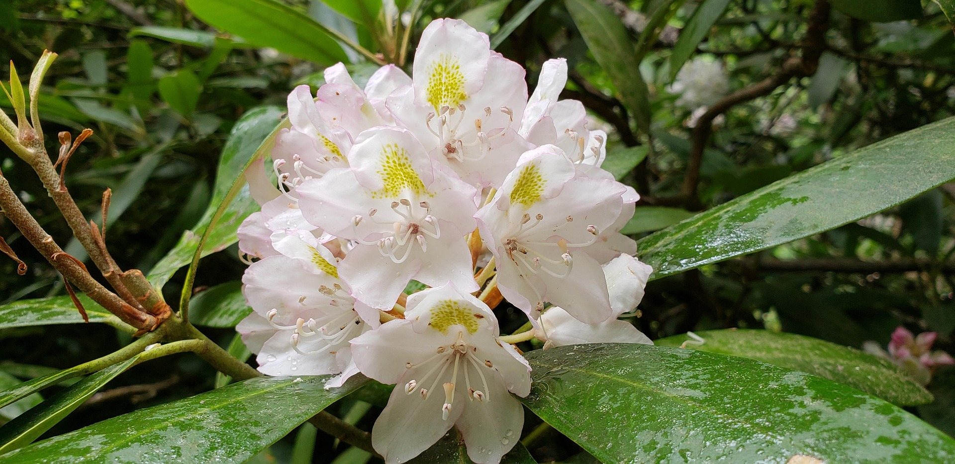
Spruce Knob hiking below the summit
Spruce Knob Lake Trail, FT 575, circles the lake in a mile on the forest roads below the summit, and it is the easiest walking in the area. The lake offers trout fishing and has a small campground beside it, which makes it the practical place to stage from if you want the summit early or late in the day rather than in the middle. As with the summit loop, the Forest Service publishes no gain, difficulty or surface rating for this trail, so plan it as a flat mile and judge the rest when you get there.
For something with real climbing in it, Huckleberry Trail, FT 533, runs 4.6 miles as a ridge route off Spruce Knob down into the Seneca Creek drainage, and it is the usual way walkers connect the high ground to the creek. Bee Trail, FT 555, is the steep option: a mile and a half of footpath from County Road 29 along Gandy Creek that climbs a thousand feet through maple and cherry to the top of Leading Ridge. That thousand feet is the only gain figure the agency publishes on this side of the mountain, and it is the exception.
Longer days are available without committing to an overnight. Allegheny Mountain Trail, FT 532, follows 13.1 miles of ridge through hardwoods and small clearings, with views into the Seneca Creek drainage once the leaves are off, which makes it a late-season walk more than an August one. Seneca Creek Trail, FT 515, is 5.2 miles one way, rated moderate and blue-blazed, running past cascades and pools to the Horton Trail junction — the falls on it are around 20 feet, and the creek holds native brook trout. Beyond that junction the route is unmaintained and reaches posted private land.
What August is like at 4,863 feet
The summit is frequently in cloud. That is the single most useful thing to know before you drive up, and the way to plan around it is to check the forecast for the ridge rather than for the valley you are starting from — the two routinely describe different days. A clear morning in Franklin or Petersburg is no promise at all about what the tower will be sitting in an hour later. If the summit is socked in when you arrive, the lake circuit below is usually out of the cloud.
August at this elevation is cooler than the valleys and cooler than most visitors expect, and the summit has no shelter of any kind. Wind and a drop in temperature arrive together, and both can turn up while the sun is still out. The gravel forest roads that reach the trailheads below the summit are the other August variable: they are slower than pavement in any conditions and worse after storms, so allow time for them rather than for the mileage. An afternoon that begins with a long drive on gravel leaves very little room for a change of plan once you are up there, which is the argument for camping at the lake rather than driving in and out the same day.
Water, blazes and the things the agency does not publish
There is no potable water on the summit or in the Seneca Creek backcountry below it. Bring what you need or treat what you find, and expect what you find to run tea-colored from tannins even where it is perfectly clean — that color is normal in Highlands water, not a warning sign. The creek crossings on Seneca Creek Trail are unbridged, several of them, so spring melt and post-storm flows determine whether a walk down there works at all, in August as much as in April. The crossing you waded on the way in is the one you have to wade again on the way out, after several hours in which a storm on the ridge can change it.
Monongahela National Forest trails are often lightly blazed, and Seneca Creek's blue blazes are the exception rather than the pattern out here. Carry a map and a GPS, and do not plan on signed junctions: any Spruce Knob hiking that leaves the summit loop is navigation as well as walking. Rhododendron and mountain laurel make off-trail travel genuinely hard, so the shortcut that looks good on a map is almost always slower than the trail. Forest Road 112 runs about 11.4 miles from Briery Gap Run Road to the Seneca Creek trailhead, and it is a forest road rather than a highway — which is the honest measure of how far in you are.
Stargazing from the high point
The same things that make the summit uncomfortable make it one of the best dark-sky sites in the state: 4,863 feet, an observation deck, a short paved loop, and almost no development in any direction to put light into the sky. The half-mile loop is walkable in the dark for anyone with a headlamp and a sense of where the railing is, and the deck gives you a horizon on more than one side. It is a drive-up dark site, which is rare — most of the open sky in this region is a walk from a trailhead. The open heath and the low, wind-flagged spruce are why: there is nothing tall enough at the summit to block the view of anything.
Cold and exposed applies twice as much after dark, and there is no shelter at the top to retreat into — the car is the only warm place on the mountain. Take more clothing than the daytime temperature suggests, and take the drive down seriously, because the same long winding approach that ate your afternoon is being done in the dark on the way out. Spruce Knob Lake, with its small campground below the summit, is the short version of that drive, and the mile-long lake circuit is a reasonable thing to do in the morning before you leave. Cloud on the summit ends a night of stargazing as completely as it ends a view, so check the ridge forecast before committing an evening to the drive up.
Reach people planning this trip
Placement alongside guides for outfitters, guides, shops and lodging.
List your business hereQuestions
How long is the hike at Spruce Knob?
Can you drive to the top of Spruce Knob?
How high is Spruce Knob?
Is there water at Spruce Knob?
What is the weather like on the summit?
What longer hikes start near Spruce Knob?
Read next
 Destination · Potomac Highlands
Hiking Dolly Sods
A practical guide to hiking Dolly Sods Wilderness: the main trails, route options, why it is navigationally serious, and how to reach Bear Rocks.
9 min read Destination · Potomac Highlands
Things to Do in Davis and Thomas, West Virginia
A guide to Davis and Thomas, West Virginia: Blackwater Falls, Dolly Sods access, Canaan Valley skiing and two of the best small towns in Appalachia.
8 min read Destination · Potomac Highlands
Blackwater Falls State Park
A complete guide to Blackwater Falls State Park: every waterfall and overlook, Lindy Point at sunset, the trails, lodging and the best season to visit.
8 min read · October