
Every organization we link to: local tourism offices, the state and federal agencies that manage the land, the nonprofits and clubs that keep access open, and the universities doing the research.
West Virginia has roughly 1.5 million acres of public land and a handful of places that carry almost all of the attention. The consequence is that a great deal of very good ground sits nearly empty, usually for one of three reasons: nobody has heard of it, the road in is gated or rough, or it is undeveloped and has nothing to advertise. Those are the places below — of them across regions.
Almost Heaven Swings
Forty-four miles, and what the number lets you do
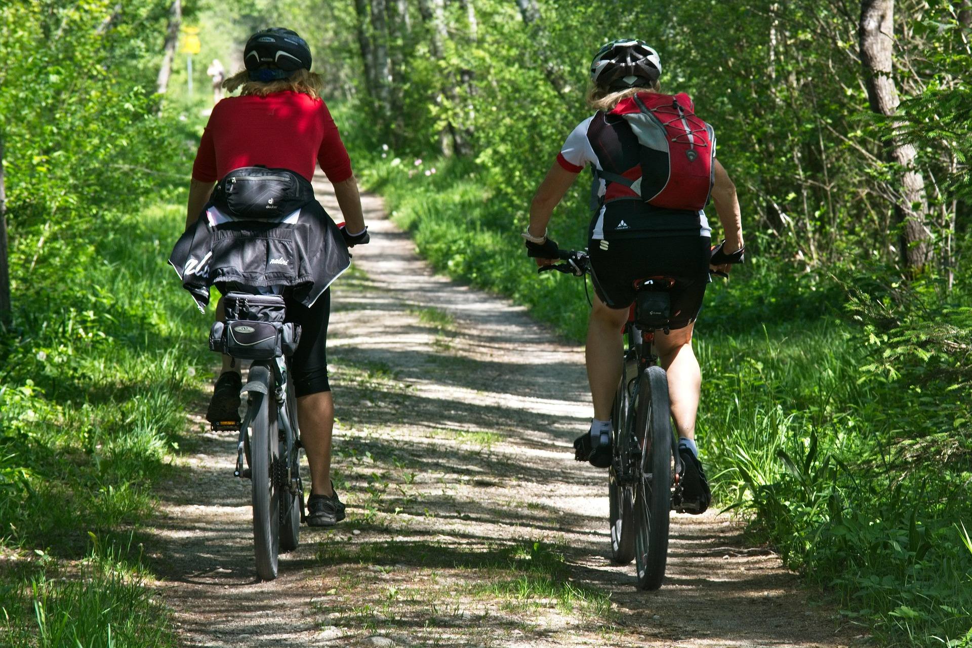
The Tea Creek Trail System carries 44 miles of interlocking trail on the Marlinton district of the Monongahela National Forest, reached from Route 150. Interlocking is the operative word. Because the trails cross and rejoin instead of running as separate out-and-backs, the loops here range from about an hour to a full day, and you pick which by choosing a junction to turn at rather than by driving somewhere else.
That structure is why this is the best-known mixed hiking and mountain-biking network on the district. The system follows Tea Creek itself and climbs onto the ridges either side, so most loops give you a creek section and a ridge section, and you can weight a day toward one or the other.
What is published here is the system total, not a per-trail table. No length, grade or elevation figure appears for any individual named trail, so if you need that, ask the Marlinton district of the Monongahela National Forest. Do not commit to a specific mileage off a third-party map without confirming what is signed on the ground.
Route 150 is the access, and it shuts itself
Access is Route 150, the Highland Scenic Highway. That single fact governs the calendar. Route 150 is not plowed in winter, so the road ends your trip before trail conditions ever get the chance.
From late autumn onward, highway status is therefore the first thing to check rather than the last. Monongahela National Forest publishes road closures, fire restrictions and forest orders on its alerts page. Allow more driving time than the map suggests, too: roads here follow creeks and ridges instead of straight lines, and sixty road miles can take two hours.
Once the highway is snowed shut, the approach becomes part of the outing rather than a drive to it. Nothing in the record describes Route 150 as groomed or maintained for winter recreation, so treat any winter visit as entirely self-supported.
Rooty and rocky rather than groomed
Riders should read one line in the record twice: these trails are rooty and rocky rather than groomed singletrack. This is not a machine-built flow network. It is natural-surface tread with roots and rock in it, and the intermediate-to-advanced rating the system carries reflects that surface rather than any sustained steepness the site publishes.
The same tread reads differently on foot. For hikers it is ordinary Appalachian footing, wet in places, with the root systems that dense highland forest puts across a trail. For runners it is the terrain West Virginia's outsized ultra scene is built on, and the interlocking loops let you add distance without doubling back on yourself.
Rider-reported conditions and closures across the state are posted on Trailforks, which is the practical place to check what a recent wet week has done to the surface. No technical ratings or feature descriptions for individual sections are published here.
You will be sharing the tread
Bikes and boots use the same trails throughout. There is no separate footpath system here, and nothing in the record describes directional or day-of-week restrictions. Riders should expect walkers on the creek-side sections. Walkers should expect to hear bikes before they see them, and junctions are where the two groups actually meet.
Shared use is worth planning around rather than resenting. Early starts and weekdays thin the traffic, and the autumn weekends that draw the most people are the ones with the best color. Lodging in Marlinton books months ahead for October.
Fishing the creek you are already walking beside
Tea Creek is a Monongahela National Forest mountain stream, which in these highlands means freestone water. The trail system follows it, so walking access and wading access are the same access, and a rod does not require a separate trip.
The record does not say what is stocked in Tea Creek, or when, so check WVDNR fishing regulations for this water before you go. A West Virginia fishing license is required for anyone 15 and older, and fishing stocked trout water requires an additional trout stamp. WVDNR posts stocking by the end of each business day and runs a hotline on 304-558-3399. The general fly-fishing window the site gives for this water is March through November.
Sleeping at the bottom of the system
A campground sits at the trailhead — Tea Creek Campground — and that is most of the argument for camping here. You sleep at the bottom of 44 miles of trail and start from the tent rather than from a car park an hour away. Because it is a Forest Service campground rather than a state park one, it goes through Recreation.gov instead of the West Virginia State Parks reservation system. No site count, layout or fee for it is published here.
Dispersed backcountry camping is permitted across most of the Monongahela National Forest without a permit, subject to setback rules from roads, trails and water and to stay limits. That is unusual for an eastern national forest and it gives you ground beyond the campground if you would rather walk in. Confirm current district rules before you choose a site.
No permit is required to hike on Monongahela National Forest trails, and there is no admission charge to reach the system.
Picking a month, and what to carry regardless
September and October are the strongest weeks and the busiest. Humidity drops, fall color starts on the highest ridges in late September and works downhill through late October, and nights turn cold. July and August are hot and humid below 2,500 feet, which is an argument for being up on the Highland Scenic Highway rather than in a valley — trails then are green, buggy and quiet. May and June are peak green.
November and December strip the leaves and open sightlines, and hunting seasons dominate public land outside state parks. Wear blaze orange from October through January, and put orange on a dog. Highlands weather is not mid-Atlantic weather either: carry insulation and a shell whatever the forecast said at the bottom of the hill.
Assume no cell service. Download offline maps before you leave pavement, check for ticks in any month above freezing, and remember that rescue here usually means volunteer squads and a long carry. Tell someone your plan and your return time.
Reach people planning this trip
Placement alongside guides for outfitters, guides, shops and lodging.
List your business hereQuestions
How long is the Tea Creek trail system?
Is Tea Creek good for beginner mountain bikers?
Can you get to Tea Creek in winter?
Is there camping at the Tea Creek trailhead?
Read next
Best of
The Best Mountain Biking in West Virginia
Where to mountain bike in West Virginia: the Arrowhead trails, Canaan and Snowshoe, Hatfield-McCoy, plus rail-trails and gravel in the highlands.
8 min read · June Guide · Greenbrier Valley
The Highland Scenic Highway: Driving and Hiking
A 43-mile byway above 4,500 feet: four overlooks, the Cranberry Glades boardwalk, the Falls of Hills Creek, and the trailheads that close all winter.
7 min read · October
Destination · Greenbrier Valley
Things to Do in Marlinton, West Virginia
What to do from Marlinton: the rail-trail at mile 56, Tea Creek's 44 miles of trail, Seneca State Forest, smallmouth water, and what closes in winter.
6 min read