
Every organization we link to: local tourism offices, the state and federal agencies that manage the land, the nonprofits and clubs that keep access open, and the universities doing the research.
West Virginia has roughly 1.5 million acres of public land and a handful of places that carry almost all of the attention. The consequence is that a great deal of very good ground sits nearly empty, usually for one of three reasons: nobody has heard of it, the road in is gated or rough, or it is undeveloped and has nothing to advertise. Those are the places below — of them across regions.
Almost Heaven Swings

Driving the Highland Scenic Highway in West Virginia
The Highland Scenic Highway in West Virginia is a 43-mile National Scenic Byway running between Richwood and US 219, climbing over 4,500 feet as it crosses the Allegheny plateau. The Monongahela National Forest manages it, and what the Forest Service publishes about the route is four major overlooks plus access to Cranberry Glades, the Falls of Hills Creek and the Cranberry Wilderness. The individual overlooks are not named in the agency's material, so treat them as pull-offs you will come across rather than as waypoints to navigate between. Each of them looks out over plateau and river valley rather than down at a town, which is the character of the whole drive.
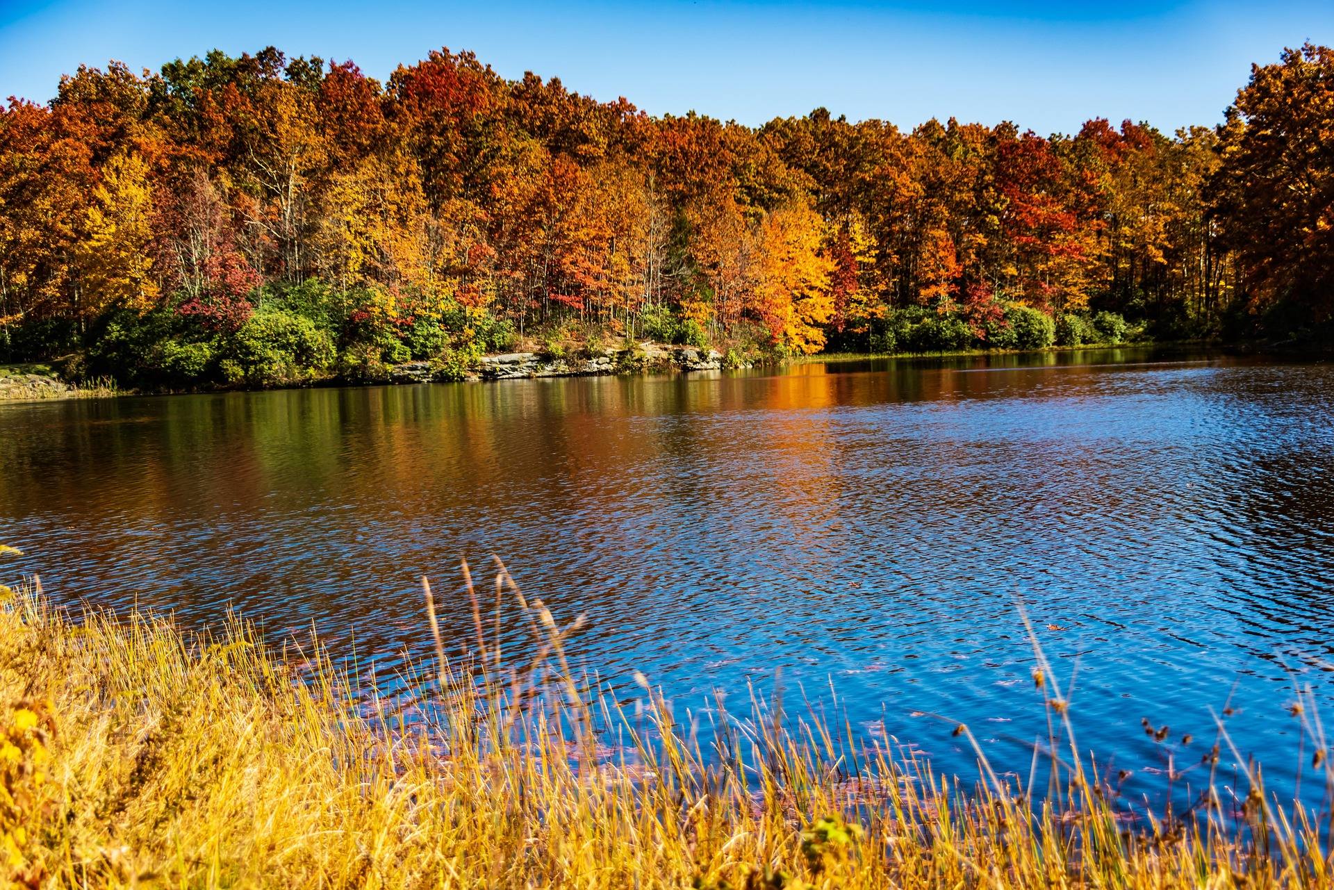
There are no services on the highest section. Start with a full tank and food in the car, because the plateau has no gas station, no store and no realistic expectation of a phone signal. Traffic is close to absent, and that is exactly why the byway is also one of the best road cycling climbs in the East — a long, sustained, well-graded ascent with almost nothing passing you. Gravel biking works off the same corridor on the forest roads that leave it. The reason to aim for early October is that fall color peaks up here before the valleys turn, so the high hardwood and red spruce give you a week the towns below have not had yet.
The Cranberry Glades boardwalk
Cranberry Glades Botanical Area is the largest area of bogs in West Virginia: 750 acres of sphagnum and cranberry peat holding plant communities left behind after the last glaciation. The flora is more typical of Canada than of the mid-Atlantic, and it includes carnivorous sundews and pitcher plants. A half-mile boardwalk crosses two of the glades. It is fully accessible, the interpretation along it is genuinely good, and it is the only way to see the bog communities without damaging them — peat does not recover from being walked on, which is why the walkway exists at all.
This is also the best birding stop on the byway. The forest adjacent to the glades holds some of the best breeding-bird habitat in the state, and peak birding is late May and early June, several weeks before most visitors think about coming up to the plateau. Half a mile of boardwalk is not a hike, so plan it as a stop rather than an outing: park, walk the loop slowly, and give the interpretive signs the time they deserve. The bog is the single most unusual thing on the byway, and it takes under an hour.
The Falls of Hills Creek
Three waterfalls sit within three-quarters of a mile of one another on Hills Creek, dropping 25, 45 and 63 feet in sequence. The lowest of the three is the second-highest waterfall in West Virginia. The full walk is 1.6 miles round trip, which makes it the highest-value short hike anywhere on the corridor — three genuine waterfalls for well under two miles of walking, in a shale gorge that stays green and wet through the summer. The 25-foot and 45-foot drops come first, and the 63-foot fall is at the bottom of the descent.
The trail is really two trails. The section to the upper falls is paved and accessible; below that it becomes steep stairs and boardwalk dropping into the gorge, and the lower two falls are not accessible. Flow is best in spring and after rain, when the shale walls run and the lower falls carries real volume. In winter, ice makes the descent dangerous — the stairs are the hazard, not the grade of the trail. Late in a dry summer the falls are still worth the walk for the gorge itself, though the water will be thin.
Hiking into the Cranberry Wilderness
The Cranberry Wilderness is 47,815 acres of second-growth northern hardwood and red spruce, the largest wilderness in West Virginia, with over 70 miles of maintained trail between 2,400 and more than 4,600 feet. Three of its six trailheads leave the byway directly — Big Beechy, North South–East and Forks of Cranberry. One more sits by Cranberry Campground, and two, Three Forks and County Line, are on Forest Road 86. The trails are unblazed by design and the junctions are unsigned. That is a management decision rather than a maintenance backlog, and it changes what you carry: map, compass, and the skills to use both.
The two longest lines through it are the Middle Fork Trail, 9 miles along the Middle Fork of the Williams River, and the North Fork Trail, 7.5 miles along the North Fork of the Cranberry with trout water the whole way. The Forest Service publishes neither an elevation gain nor a difficulty rating for either. Groups are capped at ten and the trails are maintained for foot travel only. Black bear density here is among the highest in the state, so bear canisters or proper hangs are strongly advised. Rhododendron and mountain laurel make leaving the trail corridor far harder than the map suggests. Anglers who would rather not navigate can reach the fishing more easily from the Cranberry River road corridor.
Tea Creek, for a loop instead of a through-hike
Tea Creek is 44 miles of interlocking trail immediately off the byway, and the best-known mixed hiking and mountain-biking network on the Marlinton district of the Monongahela National Forest. Loops run from an hour to a full day, following Tea Creek along the bottom and climbing onto the ridges either side of it. Tea Creek Campground sits at the trailhead, which makes this the easiest place on the plateau to sleep next to what you came to walk or ride, and the obvious base if you want two days up here rather than one long drive.
The trails are rooty and rocky rather than groomed singletrack, which is worth knowing before you unload a bike expecting flow. The Forest Service does not publish mileages or difficulty ratings for the individual trails in the system — only the 44-mile total — so build a loop from the map and give yourself more time than the distance implies. Monongahela trails are lightly blazed generally, and that applies here too. Route 150 is the access, which puts Tea Creek on the same winter schedule as everything else on the plateau.
What closes, and when
Route 150, the Highlands section, is not maintained or plowed in winter, and the Forest Service closes the highest stretch to maintenance in deep winter. That one fact drives the whole cold-season picture up here: the Cranberry Wilderness trailheads that leave the highway are shut for months, Tea Creek's access along the same corridor goes with them, and the byway's high section is not a road you drive between storms. Plan winter trips from the ends of the corridor rather than through the middle of it. Only the Highlands section carries that winter caution in what the Forest Service publishes about the byway.
What the closure creates is a long unplowed road with no cars on it, and cross-country skiing that corridor is the reason some people come up here in February. Autumn brings a different overlap: hunting seasons run straight through the best hiking weather, and blaze orange is the sensible answer on wildlife management areas. In any season, carry a paper map. There is no cell service across much of this country, so the map on your phone is a map you may not be able to open. The stairs at the Falls of Hills Creek ice up in the same months, which is the other cold-weather hazard on this corridor.
Reach people planning this trip
Placement alongside guides for outfitters, guides, shops and lodging.
List your business hereQuestions
How long is the Highland Scenic Highway?
Is the Highland Scenic Highway open in winter?
What is the best time to drive it?
What hikes are right off the highway?
Are there services along the byway?
Is any of it accessible?
Read next
 Destination · Greenbrier Valley
The Greenbrier River Trail
A guide to the Greenbrier River Trail: trailheads, camping, bikepacking it end to end, tubing alongside it, and the best sections for a day out.
8 min read Destination · Greenbrier Valley
Things to Do Outdoors in Lewisburg, West Virginia
A survey of the outdoor options around Lewisburg: the rail-trail at Caldwell, Kate's Mountain, Blue Bend, summer tubing water, and the wet-weather backups.
7 min read
Best of · Greenbrier Valley
The Best Hikes in Watoga State Park
Watoga's trails one by one with the state park's own mileages and difficulty ratings, from the 1-mile Arrowhead climb to 5.5 miles of the Allegheny Trail.
7 min read · October