
Every organization we link to: local tourism offices, the state and federal agencies that manage the land, the nonprofits and clubs that keep access open, and the universities doing the research.
West Virginia has roughly 1.5 million acres of public land and a handful of places that carry almost all of the attention. The consequence is that a great deal of very good ground sits nearly empty, usually for one of three reasons: nobody has heard of it, the road in is gated or rough, or it is undeveloped and has nothing to advertise. Those are the places below — of them across regions.
Almost Heaven Swings
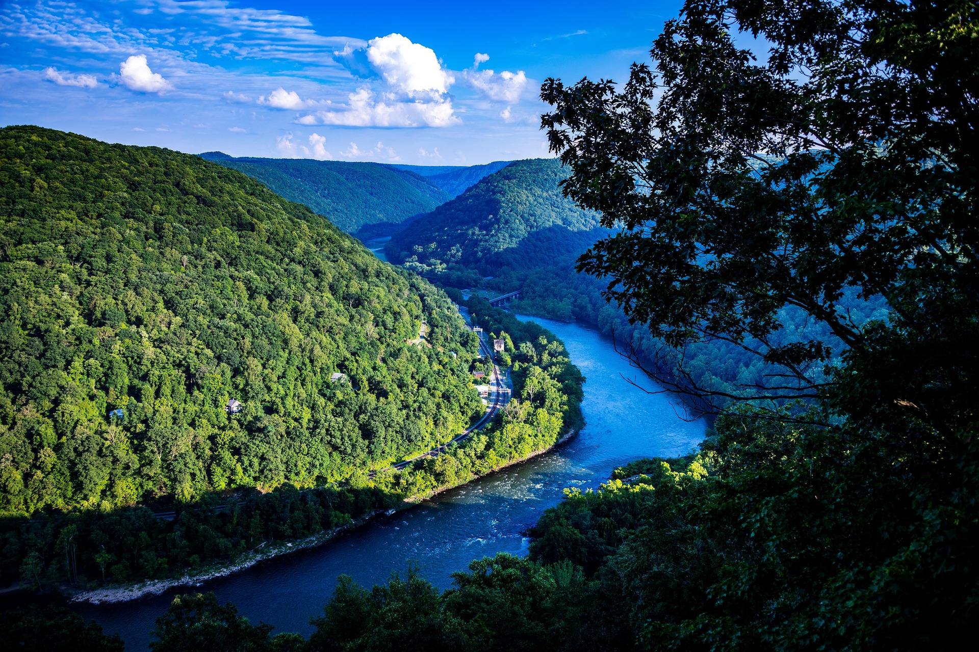
Thurmond is the dividing line
The New River through the national park is sold as two trips. Above Thurmond, the Upper New is Class I-III family water. Below it, the Lower New is Class III-IV big-volume whitewater through the deepest part of the gorge.
That class range is most of what the record holds about the Upper. It publishes no river miles, no named rapids and no put-ins or take-outs for the upper stretch, so the National Park Service is the place to get mileage and access points. Its conditions page carries current road, trail and river alerts for the park.
Thurmond is also a train stop, which is a rare thing to be able to say about a whitewater landmark. Amtrak's Cardinal serves Thurmond, Prince and Hinton three days a week, along with Charleston and Montgomery, and it is one of the few long-distance trains in America useful for reaching a national park.
What the Lower New actually is
Named rapids on the Lower include Surprise, Upper and Lower Railroad, Double Z, Greyhound and Fayette Station. The last is the final drop, directly beneath the bridge, which makes the end of the day the view most people have already seen in photographs.
The character is big volume rather than tight and technical. It is warm and forgiving at summer levels and serious at spring flows, so the same run is two different trips depending on the month you book.
Summer water temperature is the underrated part of the comparison. It is warm enough that the consequences of a swim are much lower here than on the Gauley. Lower is not the same as low: this is Class III-IV current, and strainers, undercut rocks and foot entrapment kill experienced paddlers on West Virginia rivers every year.
The Upper New is the answer for young families
When the deciding factor is the age or the nerve of the people in the boat, the Upper New above Thurmond is the run, because Class I-III is what the record says it is. Same river valley, same warm summer water, with the big drops downstream of you rather than under you.
Minimum ages and weight limits for either New River trip are not published in these records, because each outfitter sets its own. Ask before a deposit rather than after. What is fixed by law is the life jacket: one has to be aboard for every person on any vessel in West Virginia, canoes, kayaks and paddleboards included.
The Upper is also the fishing half of the two. Big warm water in this state points to smallmouth, the calmer current above Thurmond is where you can fish it from something other than a raft, and smallmouth fishing peaks in July and August. A West Virginia license is required for anyone 15 and older, sold online through WVDNR.
Season decides more than the choice does
Spring flows turn the Lower New serious. March and April snowmelt puts every Highlands river at its highest, which is the private boater's season and the wrong window for a first raft trip. Somebody who would have a straightforward day in August is on a different river in April.
July and August are when the New matters most, because heat and low water shut most of the state's whitewater down and the New and the dam-fed sections are what is left running. That is also when the Lower is warm and forgiving at those levels.
September and October are the busiest period of the year in the gorge, and lodging in Fayetteville books months ahead. If your trip is in that window, reserve the beds before the boat.
Check the level before you commit to either run
More people get hurt on West Virginia rivers than anywhere else outdoors in the state, and levels change in hours after rain. Neither New River run has a published release schedule, so the level on the day is the whole story.
Three sources cover it. USGS real-time gauges post continuously for every gauged stream in the state. American Whitewater publishes recommended flow ranges section by section. The Park Service conditions page carries closures and alerts for the gorge itself.
If your trip drifts to the Gauley instead, add the Corps of Engineers Huntington District, which publishes reservoir levels and the Gauley release schedule.
If what you want is the biggest water, that is the Gauley
Some people typing this comparison are really asking whether either New River run is the hardest thing on offer. It is not. The Upper Gauley drops roughly 335 feet in about 10 miles through more than 100 rapids, five of them Class V: Insignificant, Pillow Rock, Lost Paddle, Iron Ring and Sweet's Falls.
It runs on scheduled autumn releases from Summersville Dam, roughly six weekends beginning the Friday after Labor Day, at 2,800 cfs, plus spring flows. Most outfitters require prior rafting experience and set a minimum age for the Upper, and those weekends book months out.
The Lower Gauley is Class III-IV and a strong run in its own right, and the record calls it the better choice for a first-time big-water rafter. Between the Lower New in summer and the Lower Gauley in autumn, the difference these records name is water temperature: the New is warm and nothing here says the Gauley is.
The recommendation, by who is asking
Children, nervous adults, or a mixed group where one person will set the mood for everybody: the Upper New above Thurmond, Class I-III, in summer.
First time in a raft and wanting the real gorge: the Lower New in July or August. You get Class III-IV, the named rapids, the deepest section of the gorge and Fayette Station beneath the bridge, with warm water under you the whole day.
Rafted before and wanting a step up: the Lower New at spring flows, or the Lower Gauley. Experienced and wanting Class V: the Upper Gauley during Gauley Season, booked early, and only if you meet the outfitter's experience requirement.
Where these records stop: they publish no prices, no trip lengths and no operator names for any of these runs. Those come from the outfitters, and the river information comes from the Park Service pages for the New and the Gauley.
Reach people planning this trip
Placement alongside guides for outfitters, guides, shops and lodging.
List your business hereQuestions
Where does the Upper New end and the Lower New begin?
Is the Upper New River safe for kids?
Can a first-timer raft the Lower New River?
Where do you check New River levels before a trip?
Read next
 Guide · New River Gorge
Gauley Season: A Complete Guide
Everything to know about Gauley Season in West Virginia: how the dam releases work, Upper versus Lower Gauley, minimum ages, when to book and what to expect.
8 min read · September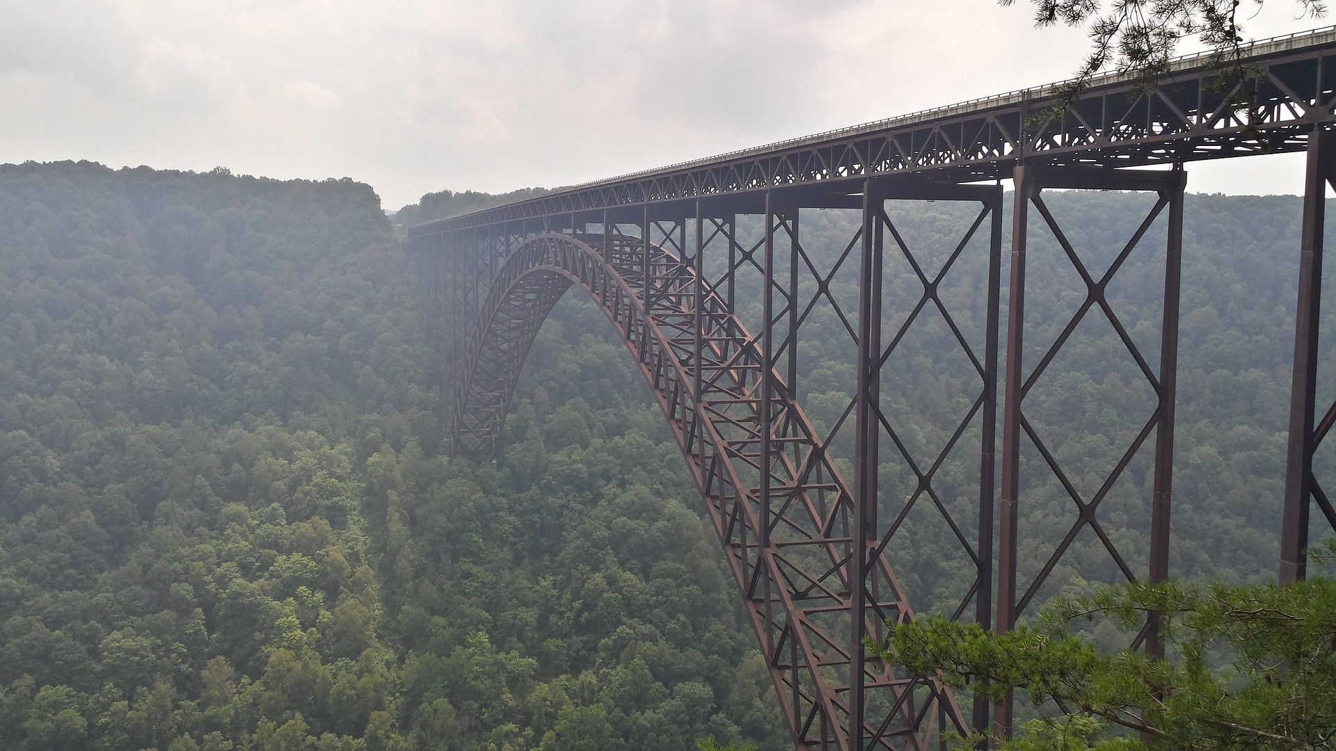 Destination · New River Gorge
Things to Do in New River Gorge National Park
A complete guide to New River Gorge National Park: the best hikes, whitewater, climbing and overlooks, plus where to base yourself and when to come.
12 min read Destination · New River Gorge
Things to Do in Fayetteville, West Virginia
A local guide to Fayetteville, West Virginia: the best hikes and overlooks nearby, rafting and climbing outfitters, and why it is the best gorge base.
8 min read