
Every organization we link to: local tourism offices, the state and federal agencies that manage the land, the nonprofits and clubs that keep access open, and the universities doing the research.
West Virginia has roughly 1.5 million acres of public land and a handful of places that carry almost all of the attention. The consequence is that a great deal of very good ground sits nearly empty, usually for one of three reasons: nobody has heard of it, the road in is gated or rough, or it is undeveloped and has nothing to advertise. Those are the places below — of them across regions.
Almost Heaven Swings
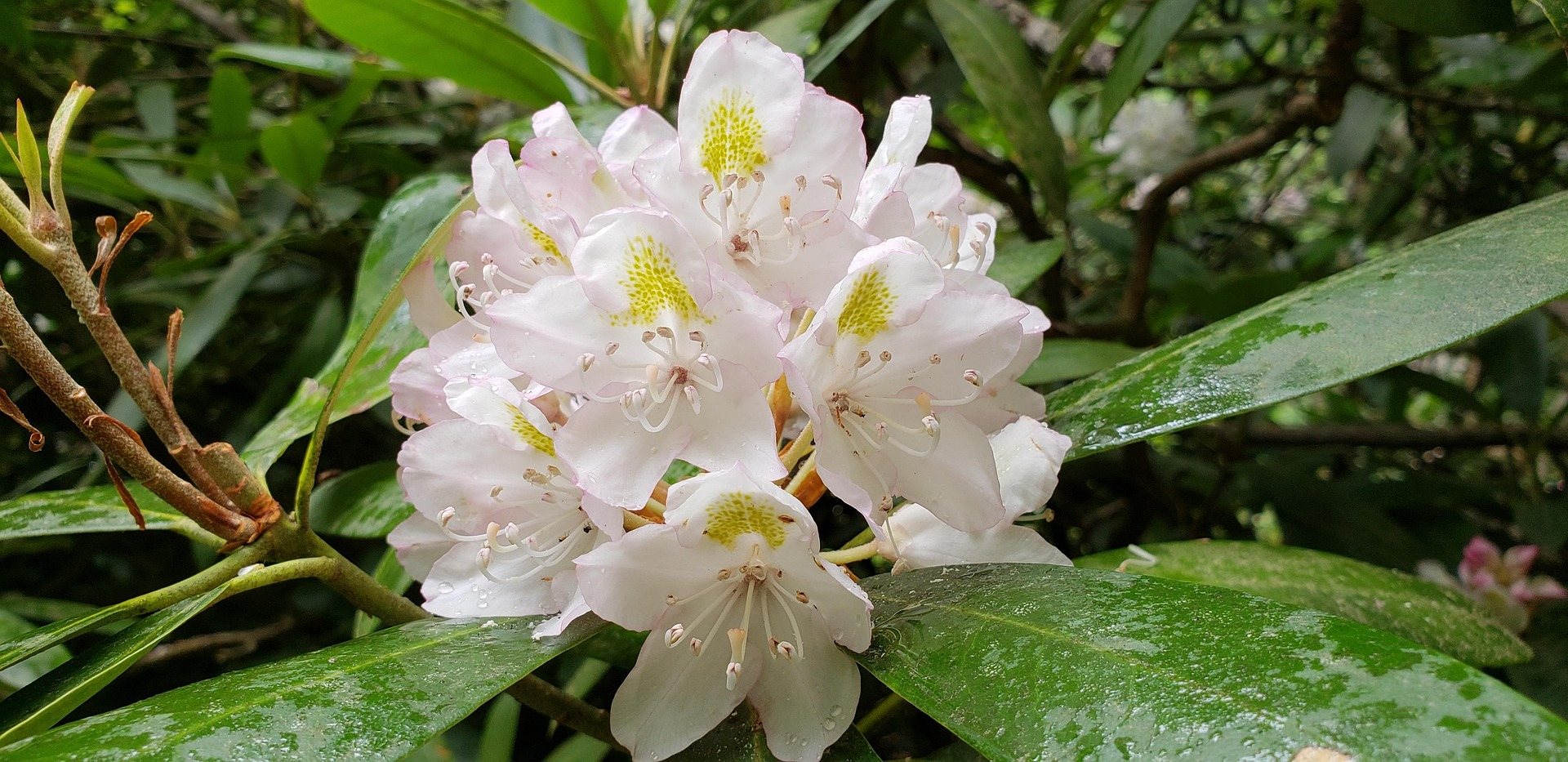
What the Bluestone National Scenic River covers
The Bluestone National Scenic River protects ten miles of the Bluestone River in a deep, wooded gorge between Bluestone Lake and Pipestem. Visitation is low, and the reason is structural rather than a matter of taste: there is no entrance road down the corridor and no drive-up view of the protected water. You reach the river on foot from a rim above it, or by the aerial tram at Pipestem Resort State Park. That single fact shapes every decision you make about a trip here — how long the day runs, how much water you carry, and whether you are willing to climb back out at the end of it.
What the Park Service publishes about the unit itself is thin, and the two state parks at either end carry most of the practical detail. Pipestem Resort State Park sits on the east rim above the canyon across 4,050 acres, with the tram and the trail network that drops off it. Bluestone State Park sits downstream on the shore of Bluestone Lake across 2,155 acres, with campsites and public boat launches. The scenic river is the middle: the protected corridor that the Bluestone Turnpike Trail walks from one park to the other. Hiking, fishing, canoeing, birding and nature observation are what the corridor is listed for, and there is no lodge and no road on the protected stretch.
Getting down into the gorge from Pipestem
Every trail worth walking at Pipestem descends, and the park publishes the figures. The River Trail runs 5.25 miles of switchbacks and river wading on natural surface from behind McKeever Lodge down to the Farley Loop junction in the gorge, rated moderate to difficult. Farley Loop is 3 miles, rated moderate, beginning behind Mountain Creek Lodge — the park calls it its most rugged trail, taking in the Raven Rock overlook before dropping to the Bluestone. For a view rather than the river, the Canyon Rim Trail is 0.7 miles and descends 500 feet to Heritage Point, a massive sandstone outcrop with the gorge below it.
The tram is the other way down. It descends 1,100 feet from the rim to Mountain Creek Lodge at river level, the only state park tram in West Virginia, and it runs seasonally — confirm it is operating before you plan a stay at the bottom, because the alternative is 500 feet of climb on foot. From the downstream end, Bluestone State Park connects to the scenic river on foot, and its 82 campsites with electric available are open spring through fall, which makes the lower approach the simpler one if you want a bed and a car in the same place.
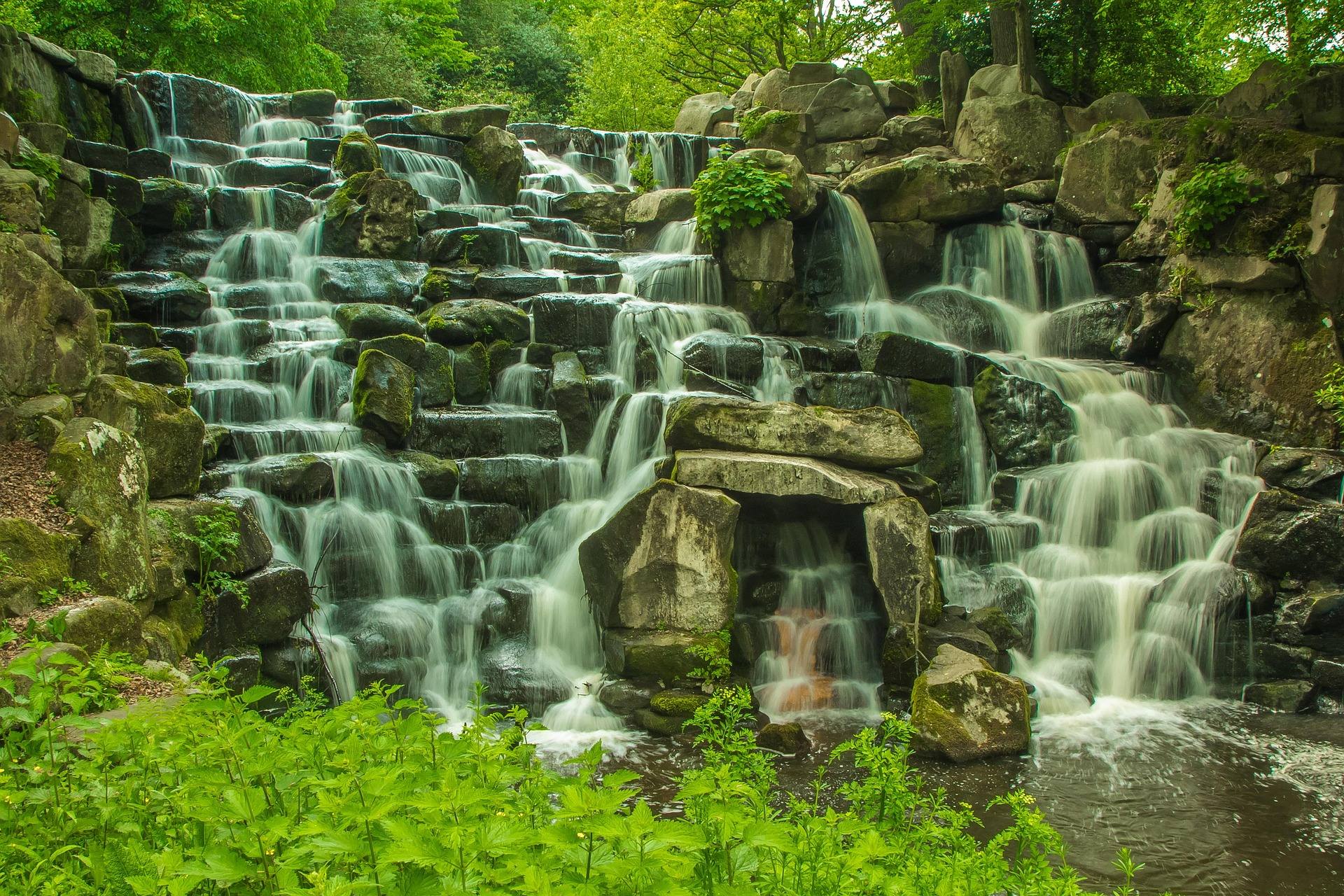
Walking the Bluestone Turnpike Trail
The Bluestone Turnpike Trail is 8.5 miles of natural surface following the line of an old turnpike along the river, and it runs the length of the protected gorge. It begins at the Farley Loop and River Trail junction inside Pipestem Resort State Park and ends at Bluestone State Park. The rating is easy to moderate, and that rating is honest about the walking and quiet about the rest: the trail itself is level river-bottom ground, and the work is in the connecting trails, which drop 500 feet from the Pipestem rim and gain it back on the way out.
End to end, this is a through-route between two state parks rather than a loop, so it needs a plan for the far end — a second vehicle at Bluestone State Park, or a turnaround somewhere in the middle and a walk back up. Rhododendron and mountain laurel grow thick enough in this part of the state that leaving the tread is not a realistic option, which in practice keeps you on the published line whether you meant to stay on it or not. Cell coverage and signage in a corridor this lightly used are worth assuming nothing about.
Fishing a lightly pressured river
Smallmouth fishing in the gorge is excellent and lightly pressured, which is the direct consequence of a river you can only walk to. The Park Service lists fishing among the corridor's activities, and the water is warm-river smallmouth habitat rather than trout water. Licensing and regulations are administered by the WVDNR: a fishing license covers you here, and the separate trout stamp is a requirement on stocked trout waters rather than on this kind of river. Because the walk in is long and the walk out is uphill, most people who fish this stretch seriously fish it from a bed at one end or the other rather than from the parking lot.
At the downstream end the character changes completely. Bluestone Lake covers 2,040 acres and holds good warm-water fishing for bass, muskie and catfish, with public boat launches on both the Bluestone River and the lake at Bluestone State Park. Lake levels fluctuate substantially for flood control, so the shoreline you launched from in June is not necessarily the shoreline in September, and a ramp that was comfortable one month can be a long carry the next. Check the level before you commit to one. A boat also gets you into the bottom of the gorge without the climb, which is how a fair number of people fish the lower end of the protected water.
The two paddling reaches
The state publishes two reaches on the Bluestone. Spanishburg down to Eads Mill is Class I–III, and Eads Mill down to Bluestone State Park is Class II–III. Spanishburg in Mercer County is the upper put-in, Eads Mill serves as both a take-out and a put-in, and Bluestone State Park is the lower take-out with public launches and marina rentals. Facilities and fees at the upper two are not published, and the park's launch surface, parking and fees are not published either — this is a call-ahead river rather than one you plan off a web page.
The part people misjudge is the finish. The lower take-out is on impounded water at the park rather than on free-flowing river, so the last of that reach is flatwater paddling with whatever wind the lake is giving you, not a current carrying you to the ramp. Build the extra time in. As on any rain-fed river in these mountains, spring melt and heavy rain change what the reach is, and low summer water can turn a Class II–III run into a long series of drags between pools. Ask about the level before you drive down.
When to go, and what the quiet costs you
May is the best month to walk the gorge. The hardwood canopy is closed enough to shade the river-bottom trail but the understory has not yet swallowed the tread, spring flows still have the river moving, and the biting heat that makes a 500-foot climb out unpleasant is a month or two away. Hiking here is a year-round activity on paper, and winter walking is genuinely quiet, but the descent trails are natural surface and steep, and the corridor gets no winter maintenance you should count on. Autumn is superb; it also overlaps hunting seasons across West Virginia, which is worth knowing before you pick a route.
Birding is one of the real reasons to come. Bald eagles work the canyon below the Bolar Lookout Tower on the Pipestem rim, at roughly 3,000 feet, with roadside overlooks along the park road giving you the view without the walk. Published detail on this corridor is incomplete in a way it is not for the busier parks upstream, so contact the state parks at either end directly for trail and tram status rather than assuming a website is current. That thinness is the same thing that keeps the river empty.
Reach people planning this trip
Placement alongside guides for outfitters, guides, shops and lodging.
List your business hereQuestions
Where is the Bluestone National Scenic River?
How long is the Bluestone Turnpike Trail?
Can you drive to the Bluestone River in the gorge?
Is the fishing any good?
Can you paddle the Bluestone River?
Where do you camp?
Read next
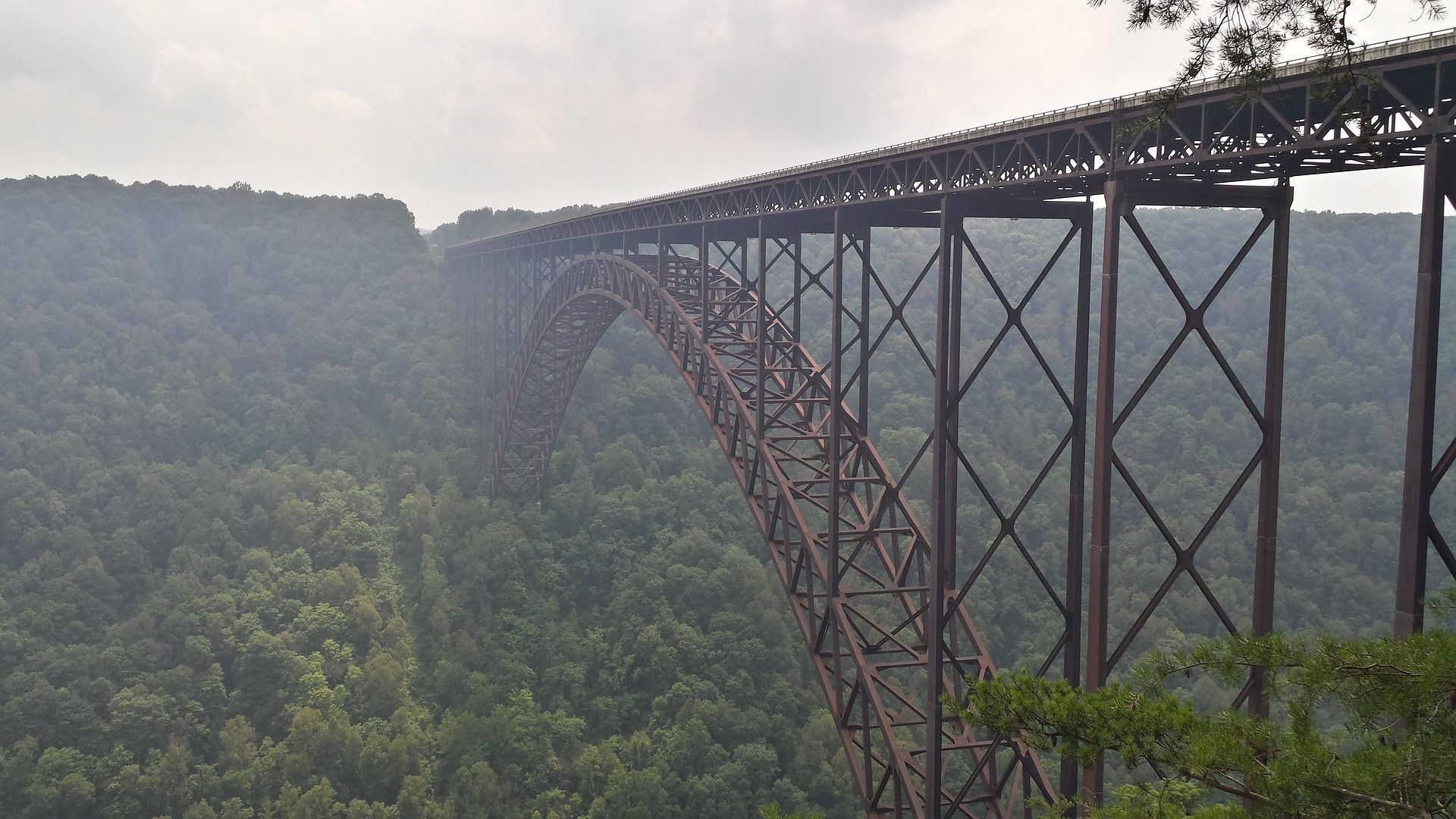 Destination · New River Gorge
Things to Do in New River Gorge National Park
A complete guide to New River Gorge National Park: the best hikes, whitewater, climbing and overlooks, plus where to base yourself and when to come.
12 min read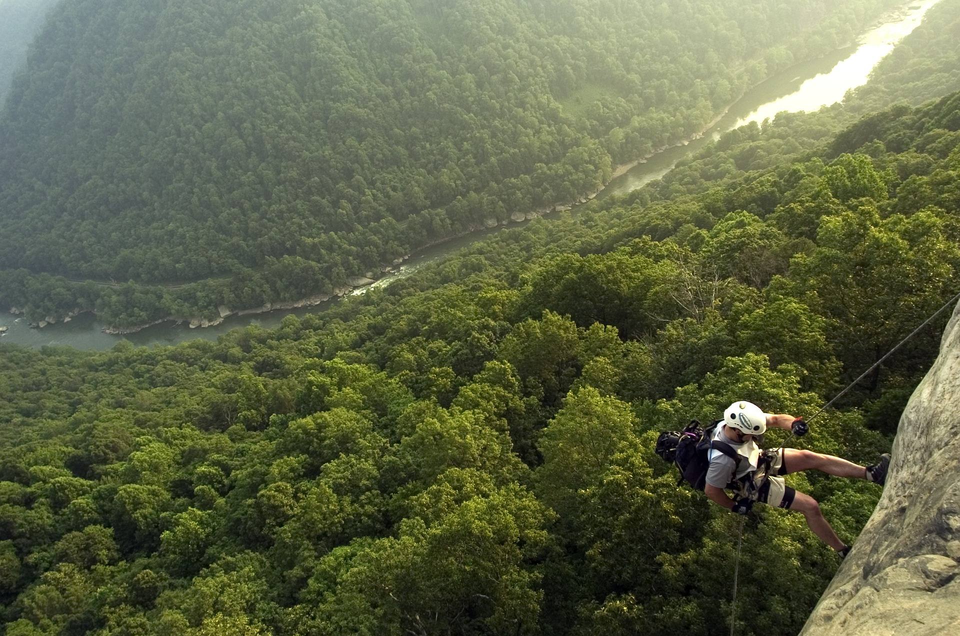 Best of · New River Gorge
The Best Hikes in New River Gorge National Park
Fifteen New River Gorge hikes ranked by what you get for the effort, with NPS distances, parking notes, and the one classic trail that is closed until 2027.
10 min read Guide · New River Gorge
Gauley Season: A Complete Guide
Everything to know about Gauley Season in West Virginia: how the dam releases work, Upper versus Lower Gauley, minimum ages, when to book and what to expect.
8 min read · September