
Every organization we link to: local tourism offices, the state and federal agencies that manage the land, the nonprofits and clubs that keep access open, and the universities doing the research.
West Virginia has roughly 1.5 million acres of public land and a handful of places that carry almost all of the attention. The consequence is that a great deal of very good ground sits nearly empty, usually for one of three reasons: nobody has heard of it, the road in is gated or rough, or it is undeveloped and has nothing to advertise. Those are the places below — of them across regions.
Almost Heaven Swings
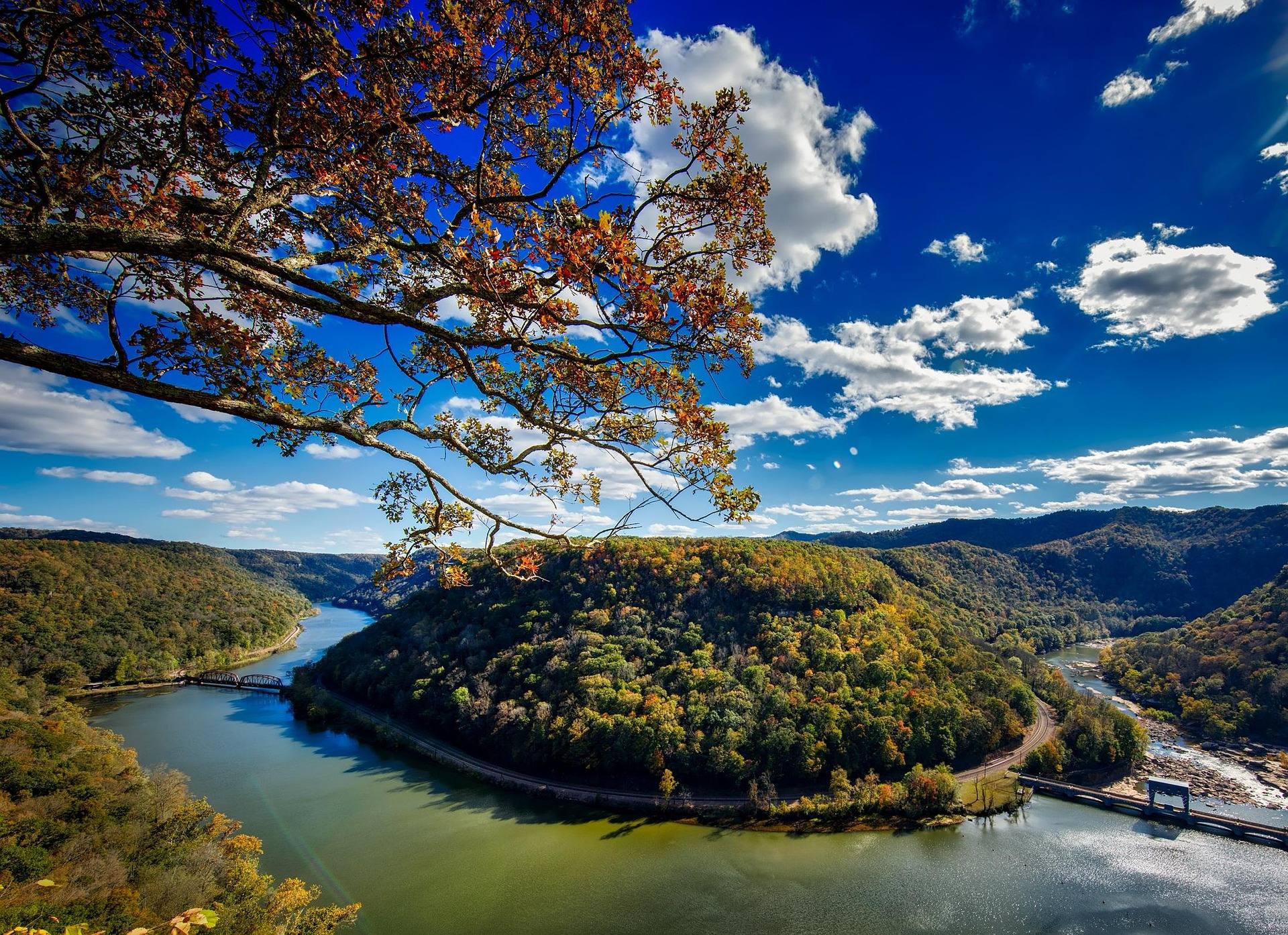
What North Bend State Park publishes about its hiking trails
Start with an honest accounting, because it changes how you plan. North Bend State Park hiking is spread across 1,405 acres on a horseshoe bend of the North Fork of the Hughes River, and West Virginia State Parks does not publish a mileage or an elevation gain for the park's individual footpaths. The one length figure the agency puts to a trail here belongs to the rail trail that runs through the park — 72 miles of it, end to end, of which the park sits directly on the middle. For the park's own trails, there is no published number to plan around.
That means the trail map at the park office is the document that matters, and you should pick one up rather than arriving with a route already in your head. It also means treating any mileage you find elsewhere with suspicion. What the agency does describe is the shape of the ground: a river bend, a lodge and cabins, campgrounds, and an accessible interpretive trail built for visitors with visual impairments. Plan by the shape of the place and the hours you have, and confirm distances with the staff when you check in.
The Extra Mile Trail
The Extra Mile Trail is the reason hikers who have never been to Ritchie County have heard of this park. It is designed for accessibility, with guide ropes and braille, and it is the accessible interpretive trail the park describes in its own materials — a path a visitor with a visual impairment can walk independently, following the rope, reading the stations. Very few state parks anywhere have built one. If you have a person in your group who is usually left in the parking lot while everybody else walks, this is the trail to go for first.
It is worth walking even if accessibility is not why you came. A rope-guided interpretive route is a slower way through the woods than you would otherwise choose, and slowing down is the point — the stations give you a reason to stop and identify what is growing beside the path instead of walking past it. The park does not publish a distance for the trail, so allow more time than the name suggests, because the interpretive stops rather than the walking set the pace. It is also the trail to start with if you are getting a first sense of the park, since it is built to be followed without a map and it stays close to the developed core.
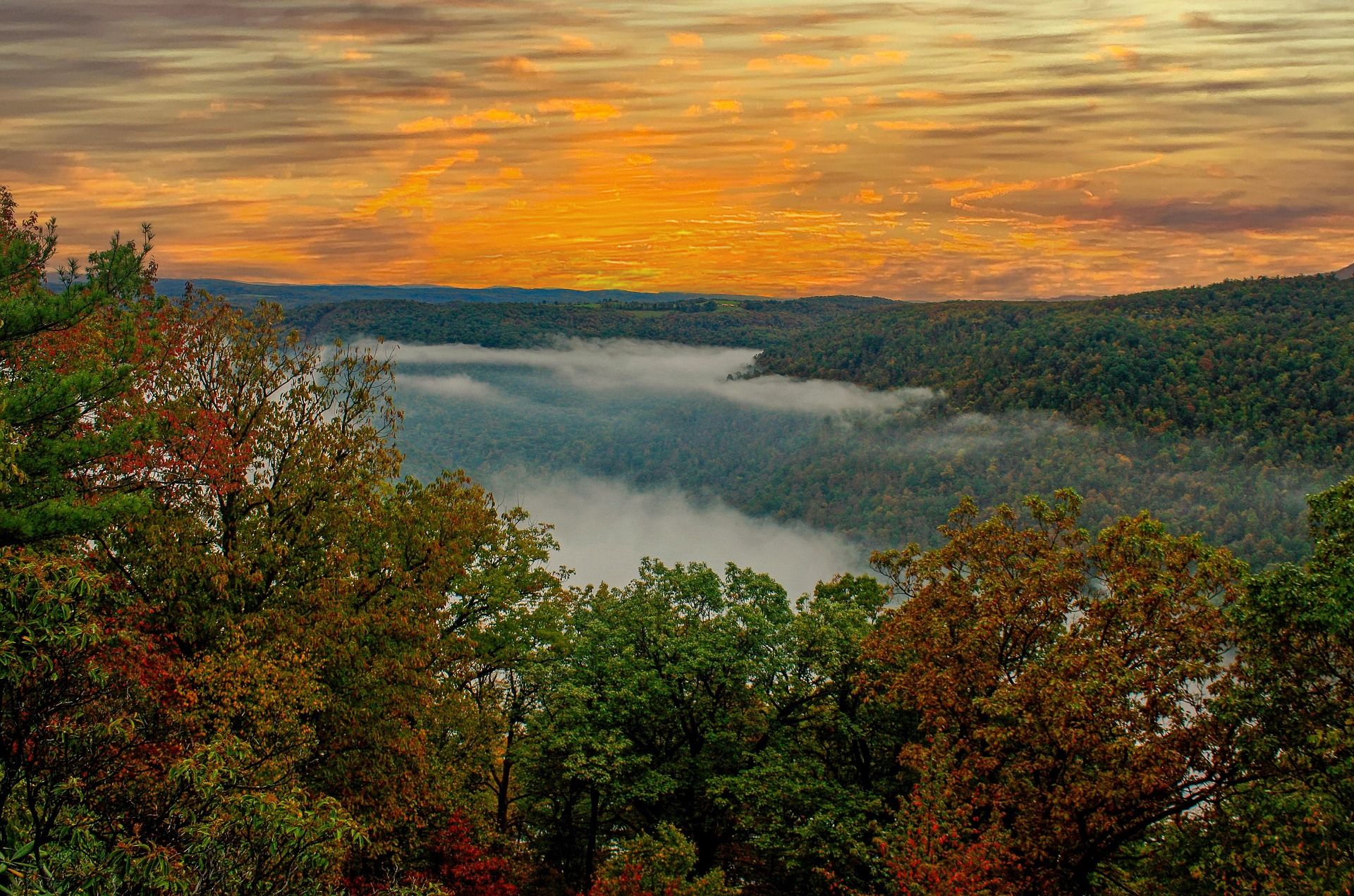
Walking the horseshoe bend of the North Fork
The park's defining feature is the bend itself. The North Fork of the Hughes River loops back on itself here, and the park's 1,405 acres wrap that loop, so most of the walking is river-bottom and lower slope rather than ridge. Terrain across the Mid-Ohio Valley is lower and less steep than the rest of West Virginia, and this park is a fair sample of it: hardwood on the hillsides, sycamore and bottomland timber along the water, and grades that let you cover ground without stopping to breathe. If your idea of West Virginia hiking is the heath barrens and rock of the high country, this is the other kind — quieter, greener, and easier on the legs.
That geometry has a practical benefit. Because the river doubles back on itself, short walks reach water in more than one direction from the developed part of the park, and you are rarely far from a road or a building — useful with children, and useful when the light goes earlier than you planned in autumn. It has a drawback too: river-bottom trail holds water. After a wet week, expect mud in the flats, pick the hillside routes instead, and accept that some of the low ground is not worth walking until it drains. The rail trail that runs through the park sits on the old Baltimore and Ohio grade, and its surface varies from crushed limestone to rougher ballast, which is a different proposition underfoot than wet river bottom.
The Jug day-use area
The Jug is the park's other named destination on the river, a day-use area on the North Fork, and it gives the walking here a season that has nothing to do with summer. The river at the Jug is stocked with trout from January through April, which makes it the one part of North Bend with a clear reason to visit in February — bare woods, open sightlines through the timber, and anglers on the water while the rest of the park is quiet. Winter is also when the shape of the bend is easiest to read, because nothing is in leaf to hide the river from the slope above it.
Treat a winter or early-spring visit as a walk with a fishing rod rather than a hike toward a summit, because there is no summit here. West Virginia State Parks does not publish trail distances at the Jug any more than it does elsewhere in the park, so plan by daylight rather than by mileage. Cold-season river bottom is the wettest ground you will find in the park, and it stays wet for weeks at a time. Boots you do not mind soaking are the right call across the whole January-through-April stocking window, and a change of socks in the vehicle is not an unreasonable precaution.
Using the lodge, cabins and campgrounds as a base
North Bend State Park hiking is one of the few versions of it in West Virginia where you can walk, sleep and eat without moving a vehicle. The park has a lodge, cabins and campgrounds on site, and it sits directly on the North Bend Rail Trail, which is why it works as a base for more than a day of walking. The park's lake, 305 acres and 8.1 miles long, adds flatwater to the same trip. West Virginia State Parks does not publish campsite counts or cabin numbers in the material summarized here, so book through the agency and confirm what is open.
Hiking is also not the only thing on this ground. The park lists fishing, camping, flatwater paddling, mountain biking, geocaching and accessible recreation alongside its trails, which matters on a trip where somebody in the group does not want to walk all day. If rain shuts the footpaths down for a morning, geocaching gives you a reason to be outside anyway. The lake has a boat launch, a canoe launch and two accessible fishing platforms, and the 10-horsepower maximum keeps the water calm enough that a canoe is the sensible boat on it. Between the lake, the river and the trails, a two-night stay does not run out of things to do.
September, October, and the hunting overlap
September is the month to come. The bottomland is dry compared with spring, the biting insects are fading, and the hardwood on the slopes has not yet turned — that comes in October, and October is when this park earns the drive on color alone. Hiking here is a year-round proposition, which is how West Virginia rates the activity statewide, but the shoulder months are when the river-bottom trails are pleasant rather than merely passable. Summer walking in the bottoms is humid and closed-in, and midsummer is better spent on the lake than on the low trails.
One caution matters in autumn, and it is the state's own: hunting seasons overlap prime autumn hiking, and West Virginia advises blaze orange on wildlife management areas. Know what land you are walking on and dress accordingly, particularly if you leave the developed core of the park. The other standing warning applies year-round across the state — rhododendron and mountain laurel make off-trail travel difficult, so if the route ahead of you disappears into laurel, the answer is to turn around rather than push through. With no published mileages to work from, turning back early is the cheap decision here, and the park office is the place to ask what is currently open.
Reach people planning this trip
Placement alongside guides for outfitters, guides, shops and lodging.
List your business hereQuestions
How many miles of trail are in North Bend State Park?
What is the Extra Mile Trail?
Is hiking at North Bend State Park good for beginners?
When is the best time to hike at North Bend State Park?
Do I need to worry about hunting season?
Can you stay overnight at North Bend State Park?
Read next
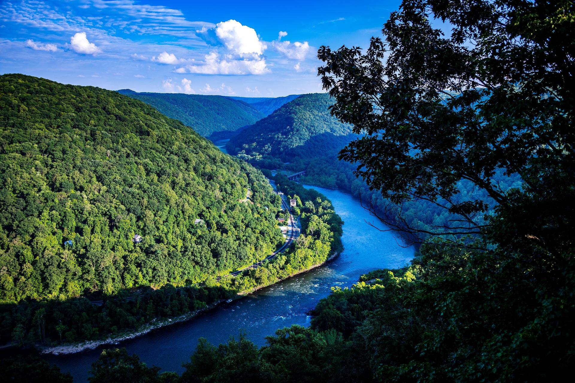 Best of
The Best Hikes in West Virginia
Thirty West Virginia hikes, from 400-foot overlook walks to the Dolly Sods traverse, ordered by effort rather than by fame.
11 min read Guide · Mid-Ohio Valley
The North Bend Rail Trail: A Complete Guide
Riding 72 miles of old Baltimore and Ohio grade end to end: the tunnel count, the surface, trail hours, access points and what to bring.
8 min read · October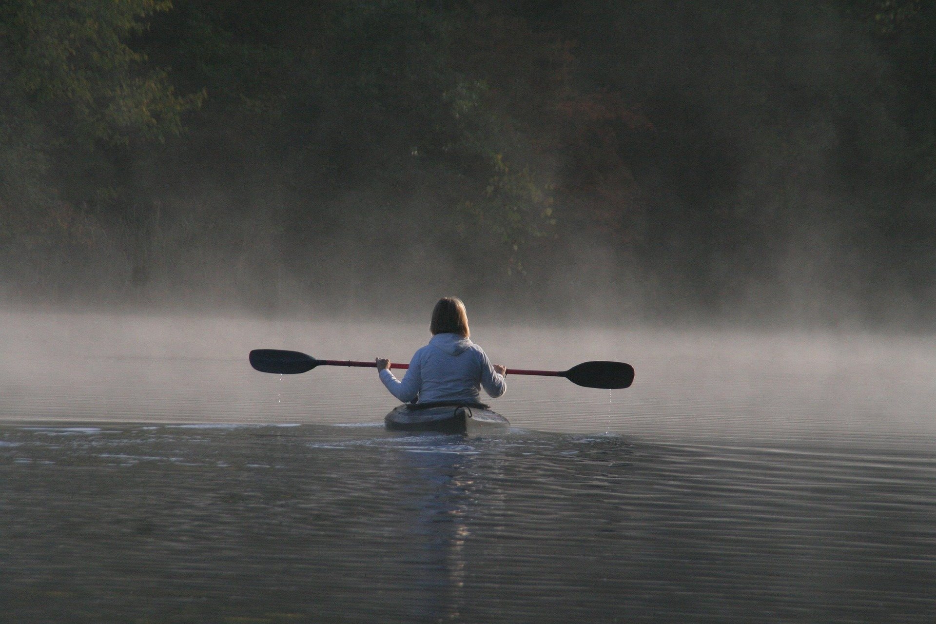 Destination · Mid-Ohio Valley
Things to Do Outdoors in Parkersburg, West Virginia
A river town's outdoor options: a sternwheeler to Blennerhassett Island, refuge islands reachable only by boat, main-stem catfish and a 72-mile rail trail.
8 min read