
Every organization we link to: local tourism offices, the state and federal agencies that manage the land, the nonprofits and clubs that keep access open, and the universities doing the research.
West Virginia has roughly 1.5 million acres of public land and a handful of places that carry almost all of the attention. The consequence is that a great deal of very good ground sits nearly empty, usually for one of three reasons: nobody has heard of it, the road in is gated or rough, or it is undeveloped and has nothing to advertise. Those are the places below — of them across regions.
Almost Heaven Swings

The one-lane road down from Winona
Reaching Nuttallburg is the part of the trip that needs planning. Access is by a narrow, steep, one-lane road dropping from Winona to the floor of the gorge, and the record is explicit that it is not suitable for trailers or RVs.
Drive it slowly and expect to meet oncoming traffic on a road with no room for two vehicles side by side. Photographers hauling gear should plan on that pace both ways rather than treating the drive as travel time to be compressed.
The record does not give the road's length, its surface, a seasonal closure schedule or a vehicle-size limit beyond the trailer and RV warning. Before you commit a long wheelbase or a low car to it, ask New River Gorge National Park and Preserve.
A conveyor 1,385 feet up the hillside
The centerpiece at the bottom is a coal conveyor and tipple complex, and it is the most complete one still standing in the country. The inclined conveyor runs 1,385 feet straight up the hillside from the tipple.
That geometry is what makes the site unusual to look at. Instead of the scattered foundations that mark most abandoned coal operations, there is a single continuous structure climbing the gorge wall, with a hard diagonal already built into every view of it.
The operation was once run by Henry Ford, which is the detail that tends to surprise people standing at the bottom of a West Virginia gorge. The record does not say for how long or under what arrangement, so treat that as one fact rather than a story.
A town founded in the 1870s
Nuttallburg dates to the 1870s, which makes it one of the older coal settlements in the gorge and puts its founding well before the national park designation that now protects the ground it stands on.
What remains is a town site rather than a town: the layout of a place where people lived and worked, with the industrial structures still legible above it. Everything about it sits at the bottom of the gorge, which is why the drive in shapes the visit as much as the walking does.
The record does not give a population figure, a closing date for the mine, or a list of which buildings survive. The National Park Service is the place to ask for the site's full history, and its page for the park is nps.gov/neri.
Walking the town site and the tipple trail
Interpretive trails loop through the town site and climb toward the tipple, following the conveyor line up the hillside. This is the way the site is meant to be seen, on foot and from ground level.
The walking is the reason to allow more time here than a drive-in overlook would need. Getting down the road, then covering the loops, then driving back out is a half-day shape at minimum, though the record publishes no trail mileage to pin that down.
If you want distances, a trail map or an accessibility assessment for the loops, ask the park. Nothing in the record covers surface, grade or how far the tipple trail climbs.
What a century of forest does to an industrial site
A coal town abandoned on the floor of a gorge becomes a long-running record of reclamation. The forest has had more than a century to work on Nuttallburg, and the interpretive loops are where that process is easiest to see, because there are still structures for it to be measured against.
For anyone who watches natural processes rather than architecture, that contrast is the subject: what has been absorbed, what has resisted, and where the boundary between the two currently sits.
The gorge itself is roughly 1,000 feet deep, cut through Nuttall sandstone, and has been a national park and preserve since 2020, with 53 miles of the river protected. Nuttallburg sits inside that, at the bottom.
Light, timing and the day around it
At the bottom of a gorge, direct light arrives late and leaves early. Plan the photography around a narrow midday window, or accept flat light on the conveyor and work the structure for its lines instead.
Above the site, the Keeneys Creek Rail-Trail offers easier, gentler miles on old railroad grade and pairs naturally with a trip down to the town. Combining the two gives you a full day without a second long drive.
Fees, gate hours, restrooms and water are not in this record. Since everything here sits within the national park and preserve, the National Park Service is the single authority to check before you go.
Reach people planning this trip
Placement alongside guides for outfitters, guides, shops and lodging.
List your business hereQuestions
how do you get to nuttallburg west virginia?
what is left at nuttallburg?
did henry ford own the mine at nuttallburg?
how long are the trails at nuttallburg?
Read next
 Destination · New River Gorge
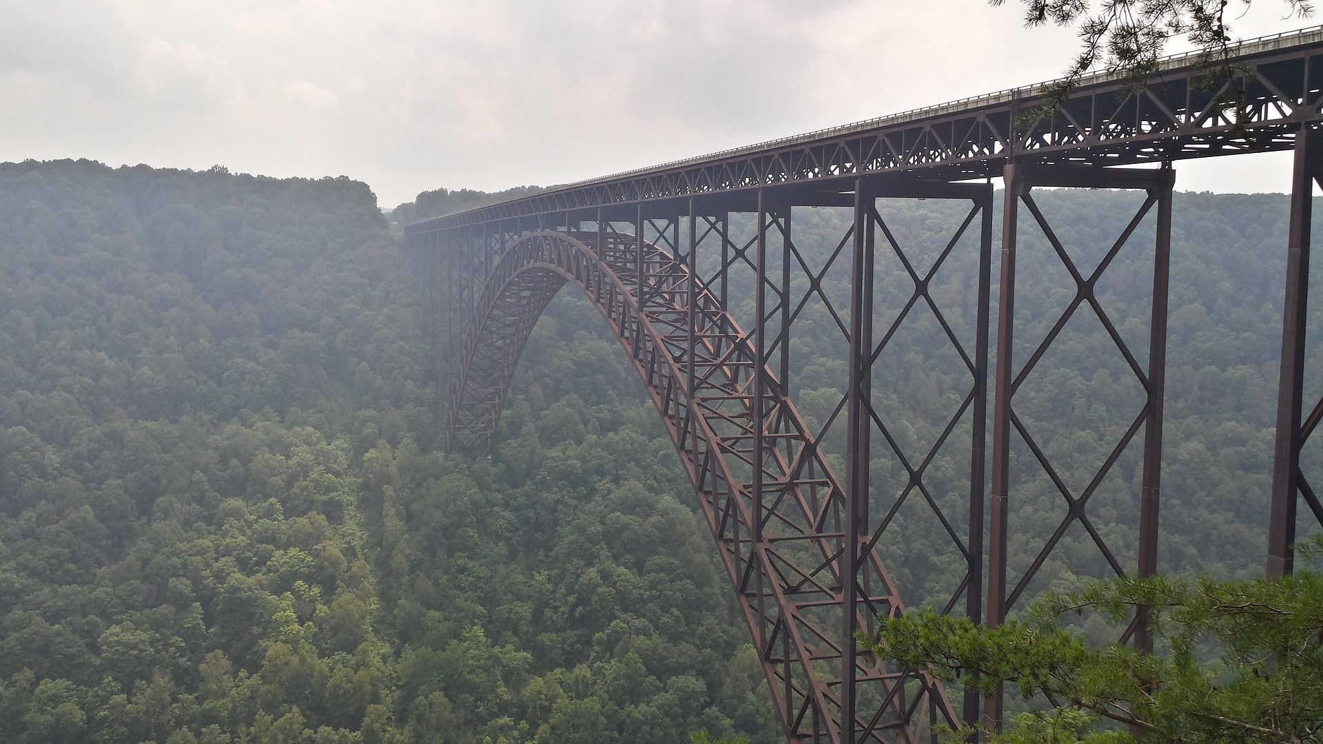
Things to Do in New River Gorge National Park
A complete guide to New River Gorge National Park: the best hikes, whitewater, climbing and overlooks, plus where to base yourself and when to come.
12 min read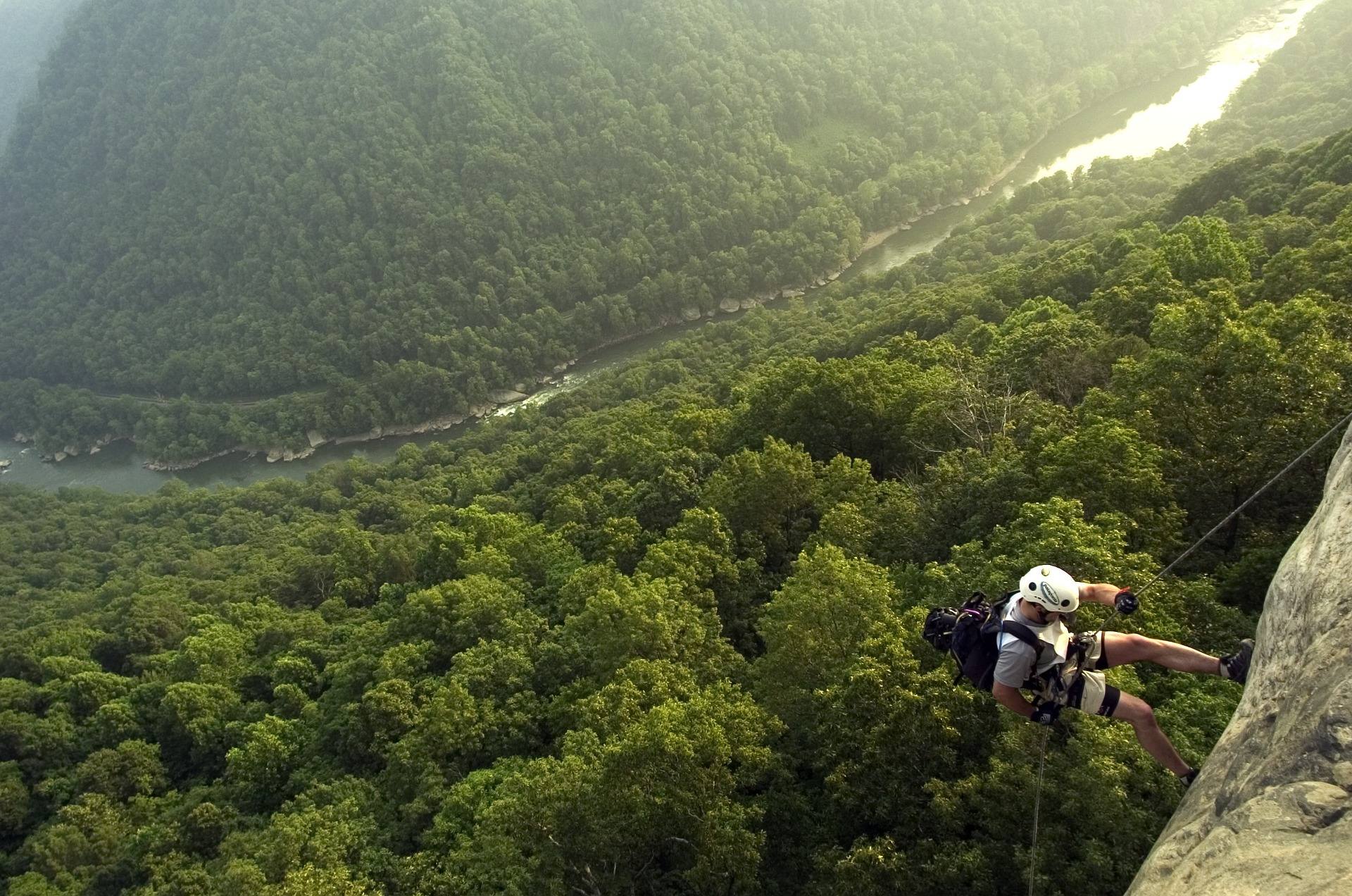 Best of · New River Gorge
The Best Hikes in New River Gorge National Park
Fifteen New River Gorge hikes ranked by what you get for the effort, with NPS distances, parking notes, and the one classic trail that is closed until 2027.
10 min read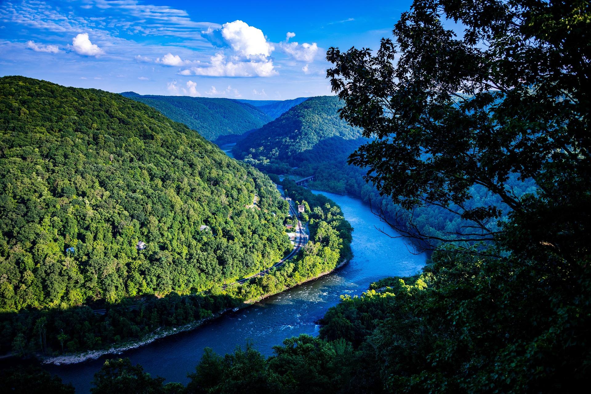 Guide · New River Gorge
Hiking at Grandview in the New River Gorge
The rim trail, Turkey Spur's steel stairs and the late-May rhododendron at Grandview, 1,400 feet above the New River's long horseshoe bend.
7 min read · May