
Every organization we link to: local tourism offices, the state and federal agencies that manage the land, the nonprofits and clubs that keep access open, and the universities doing the research.
West Virginia has roughly 1.5 million acres of public land and a handful of places that carry almost all of the attention. The consequence is that a great deal of very good ground sits nearly empty, usually for one of three reasons: nobody has heard of it, the road in is gated or rough, or it is undeveloped and has nothing to advertise. Those are the places below — of them across regions.
Almost Heaven Swings
Where the park is and where the trails start
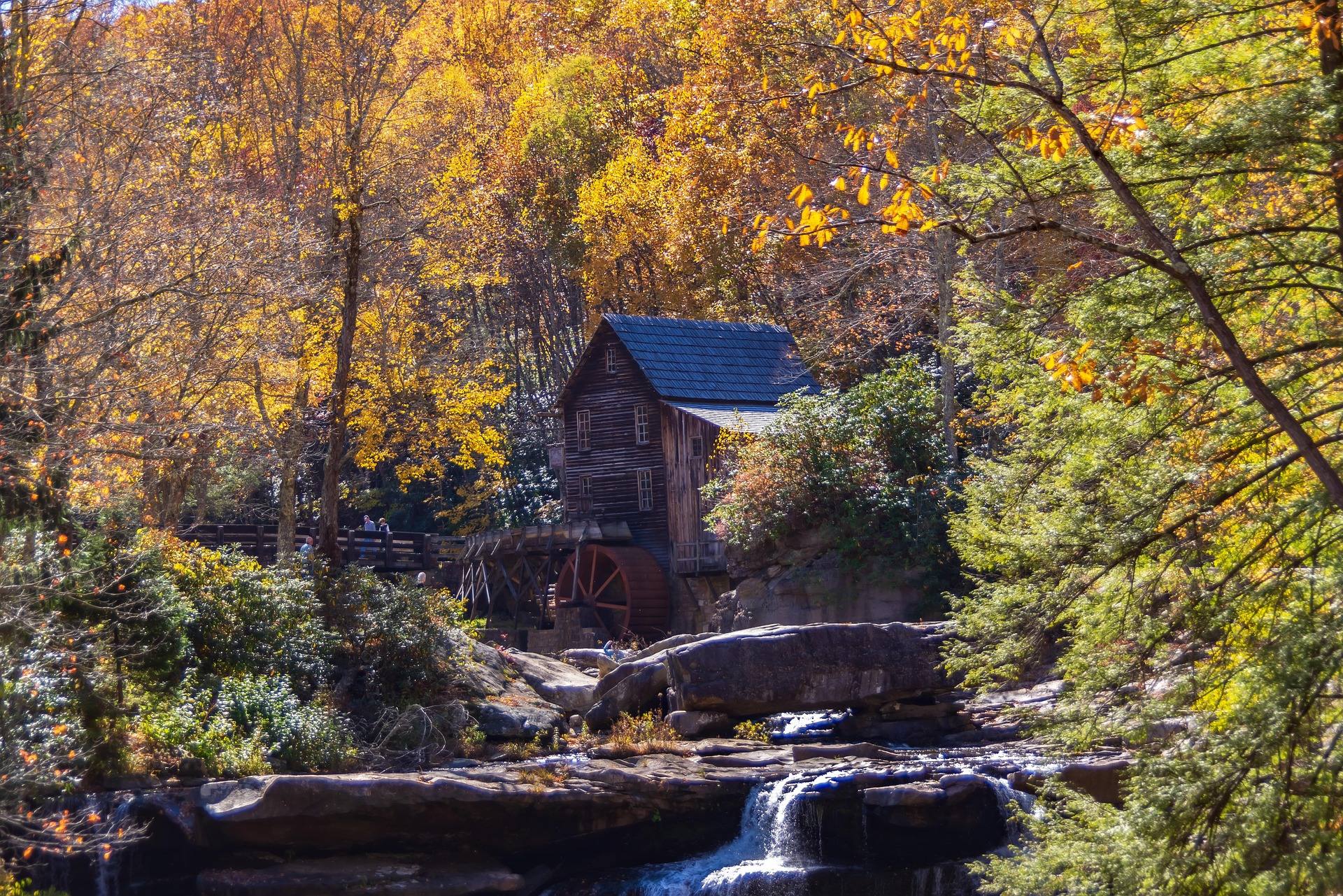
Babcock sits above Glade Creek at Clifftop, about 20 miles from the New River Gorge Bridge. That distance is the whole reason to come: it is far enough outside Fayetteville's orbit that the walking stays quiet on days when the rim overlooks are packed. The park covers 4,127 acres. Most visitors come for the Glade Creek Grist Mill, a working reconstruction assembled from parts of three historic mills and rebuilt in 1976, and most leave without setting foot on a trail. The Babcock State Park hiking trails begin within a few minutes of that same parking area, and they run in two directions — down the long grade toward the New River, or along the rim and the cliff line above Manns Creek.
West Virginia State Parks describes these trails by where they go and how hard they are rather than by an elevation ladder, and for all but one trail in the park it publishes a length and a difficulty rating with no gain figure at all. That gap matters more here than it would in gentler country, because the park's own description of the Manns Creek Gorge trails is that they are steep and rugged, and the grade you walk down is the grade you climb back out. Plan by the published mileage and the published rating, then add time rather than trimming it.
Old Sewell Trail, nine miles downhill
Old Sewell is the long one and the most interesting: nine miles from the park down to a former mining town, passing a coal boiler and waterfalls, and crossing out of the state park into New River Gorge National Park and Preserve. The park describes the grade as gradual and downhill, and rates the trail moderate to challenging. It is not the mileage that earns that rating. It is that the trail spends nine miles giving up height toward the river, through second-growth hardwood, past the leftovers of an industry that left a century ago.
The trailhead is in the park at Clifftop. The thing to settle before you start is how you are getting back, because nine miles down is nine miles up unless someone meets you at the bottom. Walked as an out-and-back it becomes an eighteen-mile day with all the climbing in the second half, which is a serious undertaking in this terrain. The park does not publish an elevation gain for it, so there is no number to plan against — only the ratings and the fact that everything you descend, you regain. Carry water for a full day, and start early enough that the climb out is not happening in the dark.
Narrow Gauge Trail and the Manns Creek Railway
The Narrow Gauge Trail runs 2.5 miles along the bed of the Manns Creek Railway, a line that closed in 1956. The park rates it moderate. Railroad grades were cut for locomotives rather than legs, so the walking is more even than most things at Babcock, and the trail's interest is the engineering as much as the creek — a narrow-gauge line was built through this gorge because there was coal and timber at the far end of it, and the bed is what remains of that decision. The park does not publish an elevation figure for the trail.
Bikes are allowed on the Narrow Gauge, with a condition the park states plainly: they must be carried around the difficult sections. An abandoned railway bed in a creek gorge does not stay intact for seventy years, and a rideable grade can end at a washout or a rockfall without warning. Mountain biking is one of the activities the park lists, but Babcock is not a purpose-built riding destination and the Narrow Gauge is the trail where that difference shows up. Ride it expecting to walk parts of it, on a bike you do not mind carrying.
Skyline Trail and the Rocky Trail staircase
The Skyline Trail is two miles and rated moderate, and it does what the name says — it follows a natural cliff line above the gorge. That is the appeal and it is a genuinely uncommon one: a trail routed along the top of a sandstone band, with the drop on one side of you for most of its length. The park's note on it is practical rather than scenic — return the way you came, or come back on the park roads, because it is not a loop. No elevation figure is published for it either, which matters less in a trail that traces a cliff line: the walking follows the rock rather than climbing through it.
Rocky Trail is half a mile long and rated challenging, which tells you everything about what kind of half mile it is. It is a stone staircase built by the Civilian Conservation Corps in the 1930s, hand-laid steps running between the Skyline and Narrow Gauge trails. CCC stonework in West Virginia was built to last and mostly has, but stone steps in a damp hardwood gorge grow moss, and half a mile of them descending is hard on knees in a way that distance alone never explains. It is the best built work in the park after the mill, and almost entirely overlooked.
Because Rocky connects the Skyline and Narrow Gauge trails, the three of them are the natural combination for a half day that does not commit you to Old Sewell's one-way descent. That is roughly five miles of walking if you link all three, with the stone staircase as the connector, and it covers the cliff line, the railway bed and the best of the park's stonework without leaving the plateau for long. It is also the sequence that shows what Babcock is underneath the postcard: a plateau edge cut by a creek gorge, worked over by a railway and then by the CCC, and now grown back in hardwood.
Island in the Sky, and the mill in October
Island in the Sky is Babcock's rim viewpoint over the New River gorge, reached by a short trail from the park road above the Glade Creek Grist Mill. It is a few minutes of walking for a full gorge view, and it faces the right way for sunrise. If you are only in the park for an hour, this and the mill are the hour. The New has cut about 1,000 feet down through Nuttall sandstone here, and this is the edge of that cut seen from the state park side rather than from the national park's own overlooks. Because the walk is short and the parking sits on the park road above the mill, it is the one viewpoint at Babcock that works for a group of mixed willingness to hike.
October is when the park is at its best and its busiest. The mill is the most photographed building in West Virginia, and the park's own guidance is that the photography is best in October, with fall color and low sun — early and late, when the light comes in under the canopy rather than down through it. Hardwood forest turns across this whole plateau, so the rim trails and the Manns Creek gorge are worth as much as the mill that month, and they hold a fraction of the people.
Cabins, the lake, and planning a day
Babcock has cabins, a small lake and camping, and the cabins here are among the most heavily booked in the entire West Virginia state park system. If a cabin is the plan, treat it as something to reserve well ahead rather than something to check on the way over — October weekends in particular are not a thing to leave to chance in a park whose main attraction is a mill photographed best in October. Camping and fishing are both among the park's listed activities, on the small lake and on Glade Creek. Beyond that, the park does not publish the site counts, fees or hours that would let you plan a stay from a distance, so the reservation system is the place to look.
For a day trip, the useful division is by how much descent you want. The Skyline, Narrow Gauge and Rocky trails keep you near the rim and total a manageable morning. Old Sewell is a full day and a shuttle problem. The Manns Creek Gorge trails are the steep, rugged end of the park, and they are where the difficulty ratings stop being conservative. Whichever you pick, the state park system publishes lengths and ratings but not elevation gain for these routes, so the ratings are the number that matters.
Reach people planning this trip
Placement alongside guides for outfitters, guides, shops and lodging.
List your business hereQuestions
What are the best hiking trails in Babcock State Park?
How long is the Old Sewell Trail?
How much elevation gain do Babcock's trails have?
Can you mountain bike at Babcock State Park?
When is the best time to photograph the Glade Creek Grist Mill?
Is the Rocky Trail worth doing at half a mile?
Read next
 Destination · New River Gorge
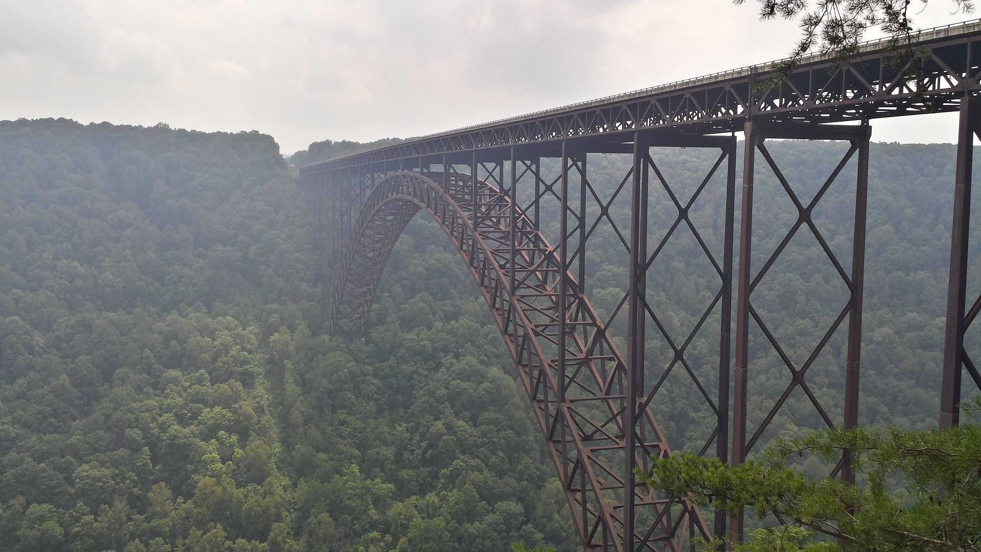
Things to Do in New River Gorge National Park
A complete guide to New River Gorge National Park: the best hikes, whitewater, climbing and overlooks, plus where to base yourself and when to come.
12 min read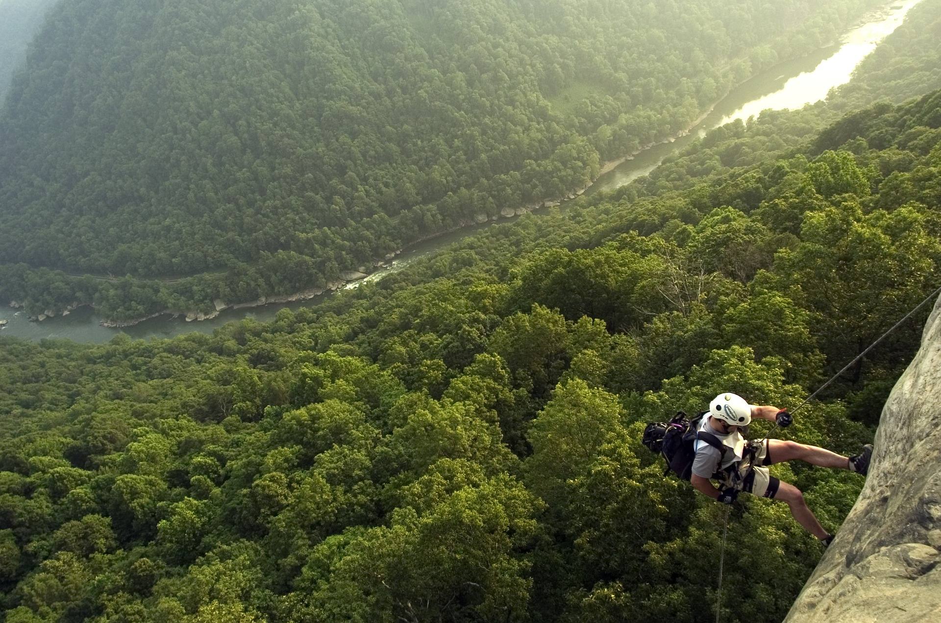 Best of · New River Gorge
The Best Hikes in New River Gorge National Park
Fifteen New River Gorge hikes ranked by what you get for the effort, with NPS distances, parking notes, and the one classic trail that is closed until 2027.
10 min read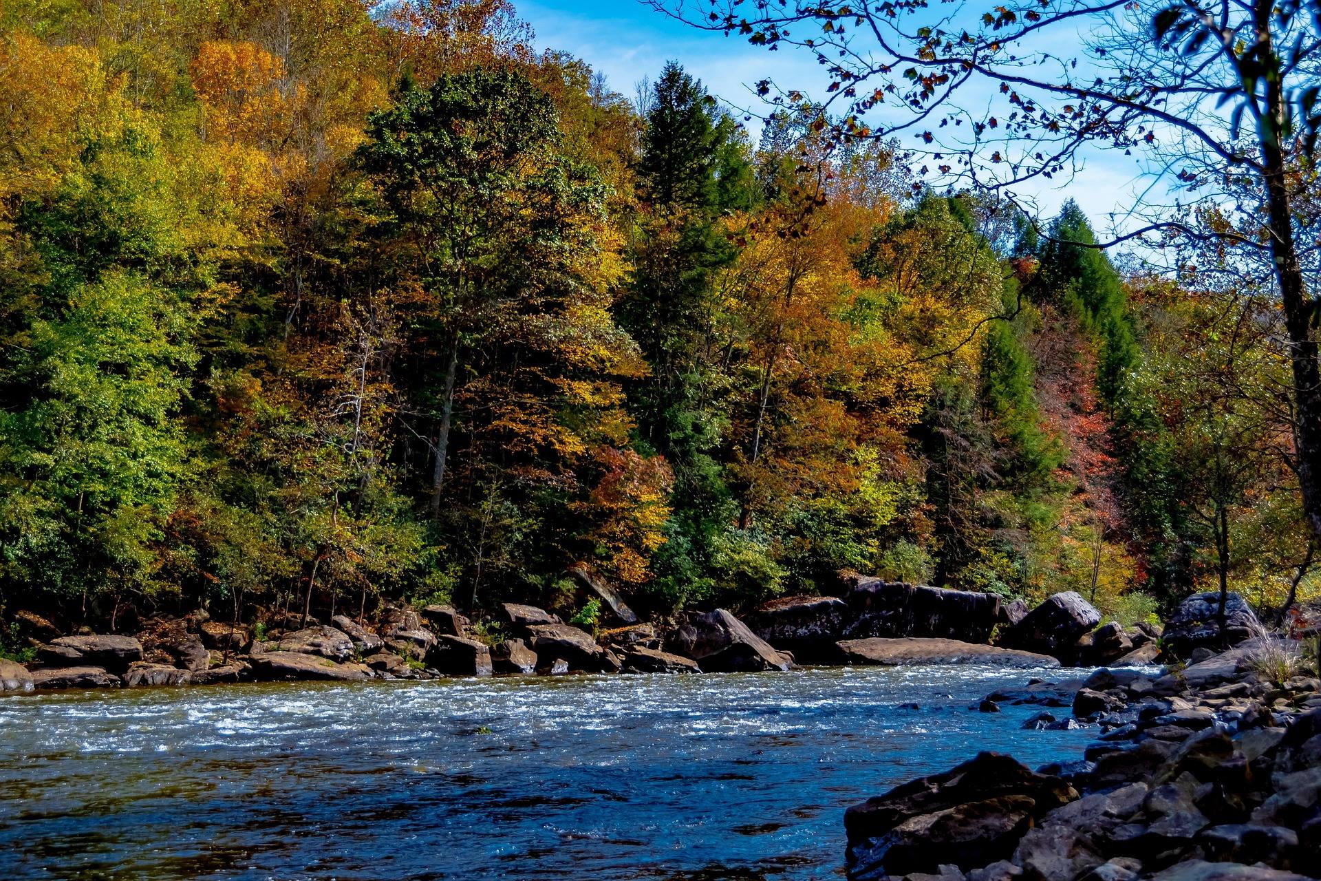 Guide · New River Gorge
Gauley Season: A Complete Guide
Everything to know about Gauley Season in West Virginia: how the dam releases work, Upper versus Lower Gauley, minimum ages, when to book and what to expect.
8 min read · September