
Every organization we link to: local tourism offices, the state and federal agencies that manage the land, the nonprofits and clubs that keep access open, and the universities doing the research.
West Virginia has roughly 1.5 million acres of public land and a handful of places that carry almost all of the attention. The consequence is that a great deal of very good ground sits nearly empty, usually for one of three reasons: nobody has heard of it, the road in is gated or rough, or it is undeveloped and has nothing to advertise. Those are the places below — of them across regions.
Almost Heaven Swings
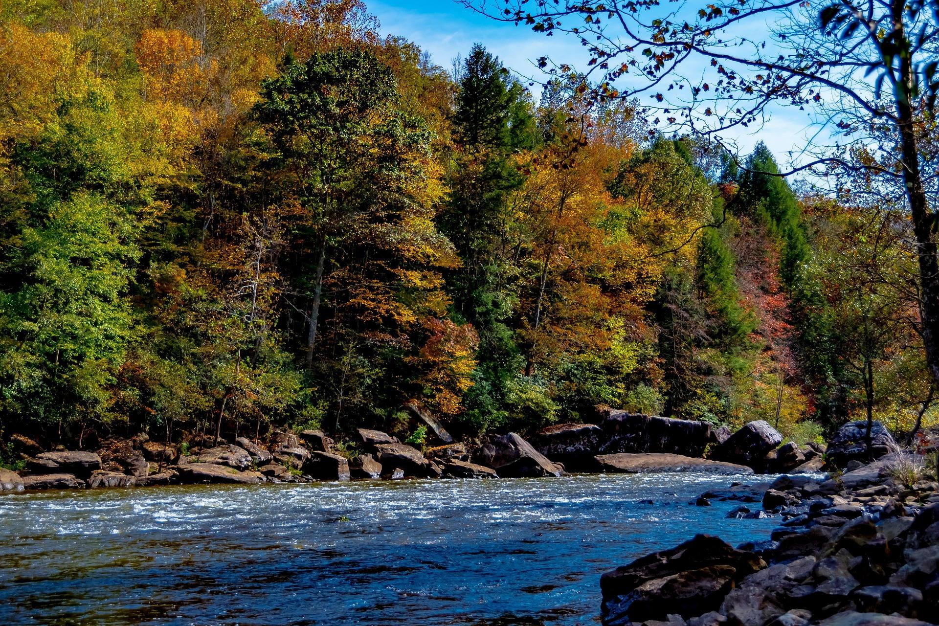
Two runs, one river name
The Gauley gets discussed as a single river, but for planning it is two runs. The Upper Gauley is Class V. The Lower Gauley is Class III-IV. They are not interchangeable, and choosing between them is the first decision you make.
The record calls the Gauley the most celebrated whitewater in the eastern United States, and the Upper is the reason for that reputation. The Lower is described as a superb run in its own right, not as a consolation for people who cannot handle the Upper.
Both runs depend on the same water, which arrives on a schedule rather than with the weather. That is the second thing to understand about the Gauley, and it constrains the trip more than the class rating does.
What the Upper Gauley actually does
Roughly 335 feet of drop in about 10 miles, through more than 100 rapids. Five of those carry a Class V rating: Insignificant, Pillow Rock, Lost Paddle, Iron Ring and Sweet's Falls.
Gradient concentrated into ten miles is why the Upper reads as relentless rather than as a few large drops with flatwater between them. Pillow Rock and Sweet's Falls sit inside the run, so there is no point early in the day where the hard part is behind you.
The record publishes no trip length in hours, no put-in or take-out, and no shuttle arrangement. Outfitters and the National Park Service, which manages the Gauley River National Recreation Area, are who to ask for that.
The release schedule is the calendar
This is a dam-released river. Scheduled autumn releases from Summersville Dam run roughly six weekends beginning the Friday after Labor Day, at a published release flow of 2,800 cfs. Spring flows give a second window.
Because the water is scheduled, so is everything around it. Gauley Season weekends book months out, and reserving early is not sales talk when the number of release days is fixed in advance.
Exact release dates for any given year are set and published by the dam's operator, not here. Confirm the schedule before you buy flights or take time off.
Who gets to run the Upper
Most outfitters require prior rafting experience for the Upper Gauley and set a minimum age for it. The record does not state what that minimum age is, and it will differ between companies, so ask the outfitter you are booking with.
Neither requirement is a formality. A Class V run built around five named Class V rapids assumes you already know how to hold a paddle position when the boat goes light, and outfitters screen for that because the alternative is expensive for everybody.
No outfitters are named in this record, and no prices, trip inclusions or age limits appear either. If you need a list of licensed commercial operators on the Gauley, start with the National Park Service.
Why a first big-water trip belongs on the Lower
The Lower Gauley is Class III-IV, and the record is unambiguous that it is the better choice for a first time on big water. It is a full run rather than a shortened version of the Upper.
Private boaters get the same two windows: the autumn releases at 2,800 cfs and spring flows. The Upper's Class V is not water to learn on, with Pillow Rock and Sweet's Falls waiting mid-run and no convenient way to leave the day early.
Fishing the Gauley, and what nobody publishes
The documentation on this river is whitewater documentation. It says nothing about what fish live in the Gauley, and this site will not guess at species. West Virginia's warm rivers hold smallmouth as a general matter, but that is a statewide pattern and not a statement about this water.
A dam-released river also creates a scheduling problem specific to anglers. A bank you waded in August is under 2,800 cfs of release water in late September. Check WVDNR for licensing and regulations, and check the release schedule before you plan a day on foot.
How the Gauley pairs with the New
The Gauley runs immediately north of the New River Gorge, whose sandstone canyon is cut roughly 1,000 feet deep and has been New River Gorge National Park and Preserve since 2020. The two rivers share a season and a set of towns.
That makes a combined trip realistic, because autumn is both release season on the Gauley and the strongest window for climbing and color in the gorge. No drive times between the two, lodging or campground detail appear in this record. Ask the National Park Service.
Reach people planning this trip
Placement alongside guides for outfitters, guides, shops and lodging.
List your business hereQuestions
When is Gauley season?
What is the difference between the Upper and Lower Gauley?
Do you need experience to raft the Upper Gauley?
What flow does the Gauley run at during releases?
Read next
Guide · New River Gorge
Gauley Season: A Complete Guide
Everything to know about Gauley Season in West Virginia: how the dam releases work, Upper versus Lower Gauley, minimum ages, when to book and what to expect.
8 min read · September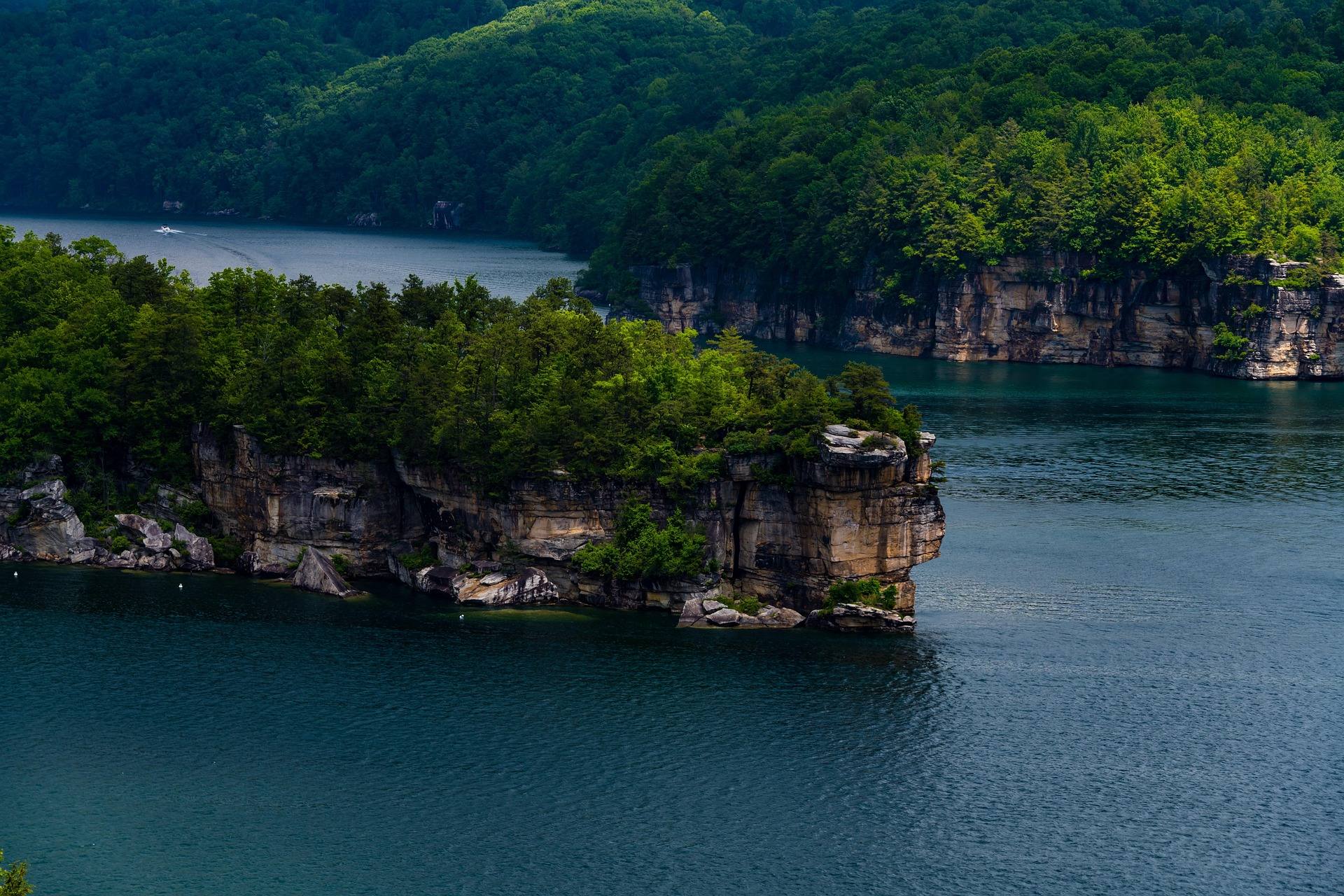 Destination · New River Gorge
Things to Do in Summersville, West Virginia
Boating and swimming on West Virginia's clearest lake, the September drawdown, the Gauley release weekends, Carnifex Ferry and the Meadow River.
8 min read
Destination · New River Gorge
Summersville Lake
A guide to Summersville Lake: the clearest water in West Virginia, cliff jumping, scuba, deep-water soloing, boating and the Gauley connection.
7 min read · July