
Every organization we link to: local tourism offices, the state and federal agencies that manage the land, the nonprofits and clubs that keep access open, and the universities doing the research.
West Virginia has roughly 1.5 million acres of public land and a handful of places that carry almost all of the attention. The consequence is that a great deal of very good ground sits nearly empty, usually for one of three reasons: nobody has heard of it, the road in is gated or rough, or it is undeveloped and has nothing to advertise. Those are the places below — of them across regions.
Almost Heaven Swings
Where the town sits
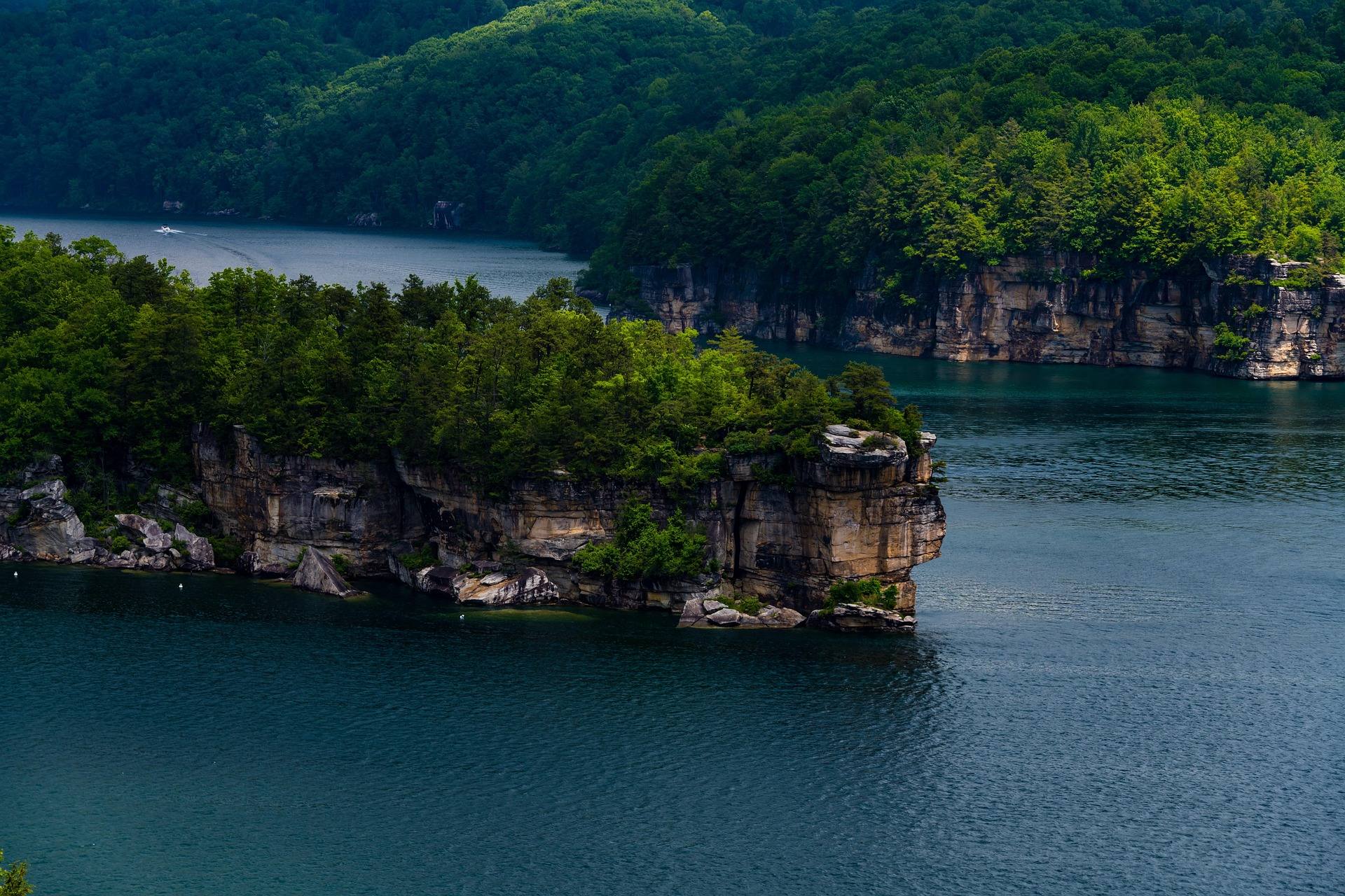
Nearly all the things to do in Summersville, WV are arranged around one reservoir and one river. The town is in Nicholas County, at the north end of the New River Gorge region, and it matters to anyone planning a trip because the Army Corps of Engineers dammed the Gauley River here and made Summersville Lake behind it. The lake is the largest in the state and by a wide margin the clearest — blue-green water in a sandstone basin, with a maximum depth published at 327 feet. Published surface figures differ slightly, 2,700 acres in one place and 2,790 in another, which changes nothing about how it feels on the water. Below the dam, the Gauley runs on scheduled releases.
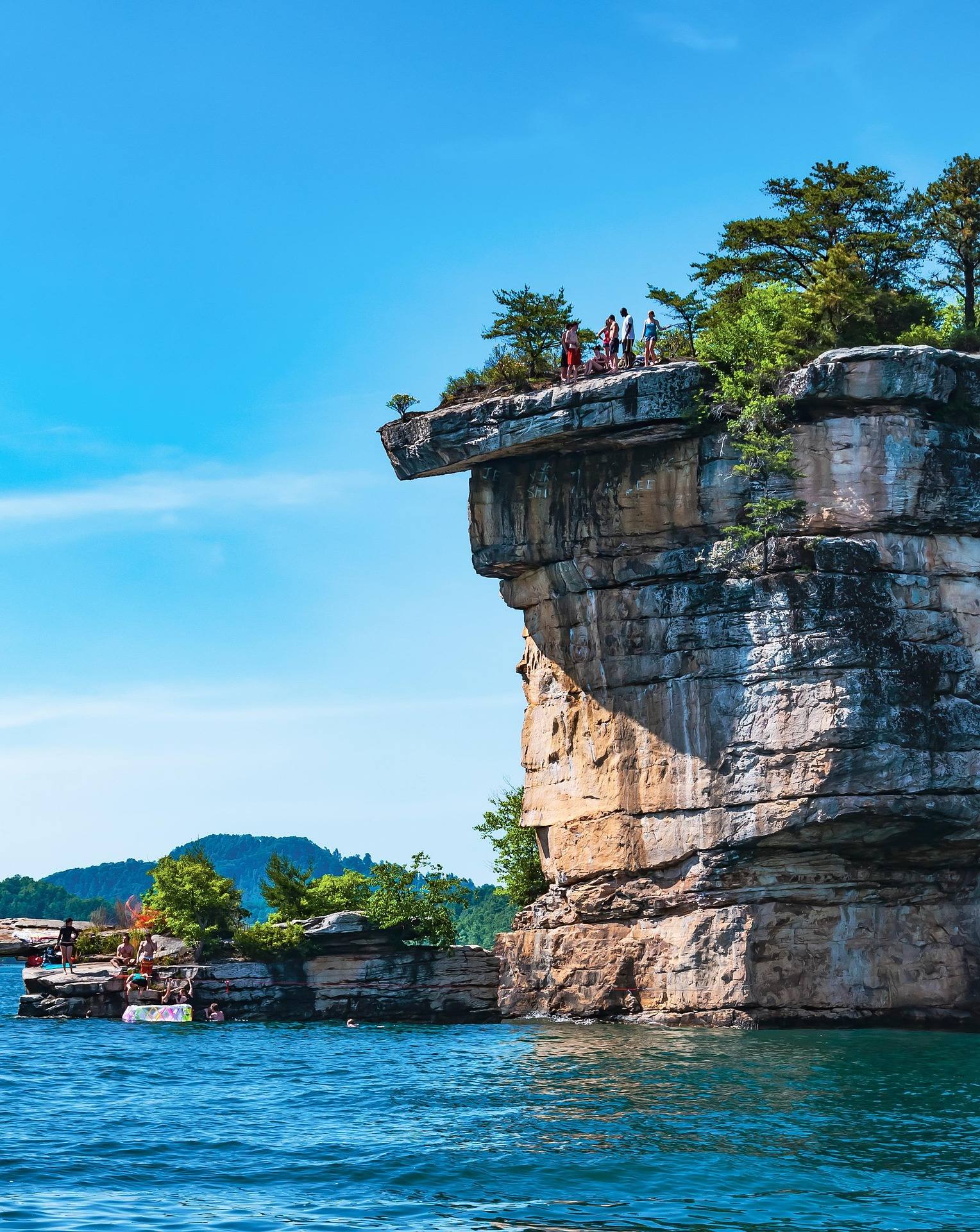
That arrangement has a consequence worth understanding before booking. From spring through August the lake is the point: boats, swimming, scuba, paddleboards, and the sandstone cliffs above the water at Long Point, Pirates Cove and Whippoorwill, some of them reachable only by boat. In September the Corps begins drawing the reservoir down for flood storage and to supply the releases downstream. The shoreline pulls back, beaches appear that are underwater the rest of the year, the base of the cliffs changes, and the town fills with rafters. Neither season is a lesser version of the other, but they want different gear and different dates. Assume the weekends after Labor Day are rafting weekends, not lake weekends.
Boating on Summersville Lake
The lake is a Corps of Engineers reservoir, while the rules for boating on it — registration, education requirements, navigation — come from the WVDNR boating program. Horsepower limits vary lake by lake in West Virginia, so check before you trailer; here the published rule is unlimited horsepower, with no-wake and restricted zones inside that. The state's recreational boating season runs April through October. Water clarity is best in early summer, before algae, which is also when the lake is at summer pool and the shoreline is where the map says it is. Sailing, kayaking and paddleboarding all work on Summersville for the same reason powerboats do: it is genuinely open water, which West Virginia has very little of.
The clarity is also why scuba divers drive past better-known lakes to get here, and why the lake is one of the officially recommended dark-sky observation sites in the state. Open water gives an unobstructed southern horizon, which is hard to find in a place made of ridges — the view is best from a boat or from one of the sandstone points. A July swim paired with a moonless night is the version locals recommend, since the water stays warm well after dark. If you want the cliffs rather than the water, climbing at the lake is a separate trip with its own access problems, and worth reading up on before you load a rope.
The drawdown and the Gauley releases
The drawdown is not an inconvenience to be worked around; it is the mechanism that produces the most celebrated whitewater in the eastern United States. Below the dam the river splits into two published reaches: Summersville Dam to Woods Ferry, the Upper Gauley at Class IV–V, and Woods Ferry to Swiss, the Lower at Class III–IV(V). The Upper drops roughly 335 feet in about 10 miles through more than 100 rapids, five of them rated Class V — Insignificant, Pillow Rock, Lost Paddle, Iron Ring and Sweet's Falls. Release flow is given as 2,800 cfs. The season is roughly six weekends beginning the Friday after Labor Day, plus spring flows, and because the put-in is dam tailwater it happens on schedule rather than on rainfall.
Two practical warnings come from the managing agencies. First, Summersville Dam, Woods Ferry and Swiss are three separate road approaches and not a loop, so a shuttle is not optional on either reach. Second, the Gauley above Camden-on-Gauley is a Class I–III river with nothing to do with the release-fed canyon, and reading a map without noticing that has sent people to the wrong water. Most outfitters require prior rafting experience and set a minimum age for the Upper; the Lower is the better first big-water trip. Release weekends book months out, and so does every bed in town.
Carnifex Ferry Battlefield State Park
A few miles from the whitewater, Carnifex Ferry Battlefield State Park occupies 156 acres on a bluff above the Gauley, on the ground of an 1861 Civil War battle. Trails drop from the bluff toward the water and overlooks open into the canyon. The Patteson Overlook is the reason to make the drive even if the history does not interest you: it gives a rim view down into the Gauley gorge, which is a rare thing to get without a boat under you. The park is small enough to see in a morning, and its trails are the kind that lose their elevation quickly on the way down and hand it back on the way out.
It is also the obvious move on a release weekend, when the put-ins and take-outs are full of buses and trailers and the town has no parking left. The park is quiet, the walking is short compared with anything on the New River rim, and you can watch the gorge that everyone else is inside. Bring the history with you or skip it — the state park pages carry the battle account, and the overlook works either way. It is also a real option in winter, when the leaves are down and the canyon walls are visible from the rim.
The Meadow River
The Meadow enters the Gauley from the southeast, and its lower end is protected within the national recreation area. As whitewater it is rated Class IV–V overall and it is rain-dependent, which makes it the opposite of the scheduled Gauley. Difficulty escalates sharply downstream: East Rainelle to Russellville is Class III–IV+(V), Nallen to the Route 19 bridge is Class III–IV, and the Route 19 bridge down to the Gauley confluence is a flat Class V. That makes the Route 19 bridge the most consequential decision on the river, because putting in there commits you to Class V. The Lower also takes out at the confluence, so a Meadow day finishes as a Gauley day and needs a Gauley-scale shuttle.
The other reason climbers and paddlers both talk about the Meadow is rock. Hundreds of routes have gone up on clean sandstone in a deep, quiet gorge, and it has been one of the most significant new-route developments in the East over the past decade. Development that fast means printed information goes stale, so check Mountain Project for what exists now, and follow the Meadow River Valley Association for access, which is the part that is not guaranteed. If you are choosing between the Meadow and the lake, the Meadow is the trip that rewards a second visit more than a first.
Camping, and things to do in Summersville outside boating season
There are three separate camping options in the area and they are run by three different agencies. Summersville Lake State Park opened on 177 acres of the north shore with three campgrounds: Overlook, Deer Run and Joe Branch. Battle Run is the Corps of Engineers campground on the lake. At the top of the whitewater, Gauley Tailwaters campground sits in the Gauley River National Recreation Area, is primitive, carries no camping fee, and has no published site count — which means arriving late on a release weekend is a gamble. Book state park and Corps sites well ahead for July, and further ahead than that for the release weekends.
Outside the boating season the things to do in Summersville thin out rather than disappear, and the town gets quiet in a way that suits some trips. The lake sits at low pool through winter and the exposed shoreline is walkable rock rather than beach. Carnifex Ferry's trails and overlook are open through the cold months, when the leaves are off and the Gauley gorge is visible in a way it is not in July. Hardwood forest here turns through October, which overlaps the release weekends and is the single busiest thing that happens in Nicholas County all year. Spring brings the other Gauley flows, unscheduled and rain-fed, and a lake filling back toward summer pool.
Reach people planning this trip
Placement alongside guides for outfitters, guides, shops and lodging.
List your business hereQuestions
What is there to do in Summersville, WV besides the lake?
How big is Summersville Lake?
When is Summersville Lake drawn down?
Is there camping at Summersville Lake?
Can you see the Gauley without rafting it?
When is the best time to visit Summersville?
Read next
 Destination · New River Gorge
Things to Do in New River Gorge National Park
A complete guide to New River Gorge National Park: the best hikes, whitewater, climbing and overlooks, plus where to base yourself and when to come.
12 min read Best of · New River Gorge
The Best Hikes in New River Gorge National Park
Fifteen New River Gorge hikes ranked by what you get for the effort, with NPS distances, parking notes, and the one classic trail that is closed until 2027.
10 min read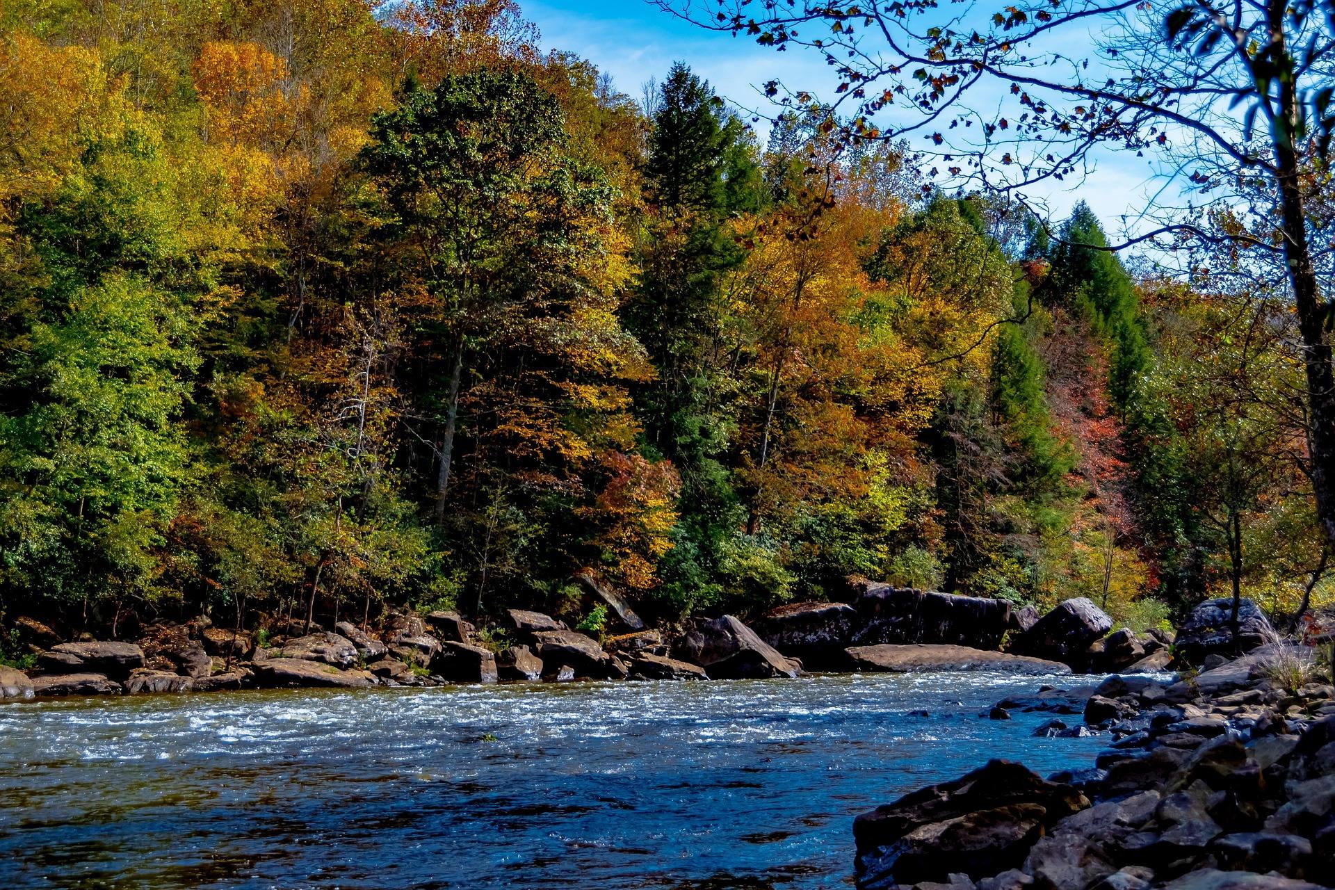 Guide · New River Gorge
Gauley Season: A Complete Guide
Everything to know about Gauley Season in West Virginia: how the dam releases work, Upper versus Lower Gauley, minimum ages, when to book and what to expect.
8 min read · September