
Every organization we link to: local tourism offices, the state and federal agencies that manage the land, the nonprofits and clubs that keep access open, and the universities doing the research.
West Virginia has roughly 1.5 million acres of public land and a handful of places that carry almost all of the attention. The consequence is that a great deal of very good ground sits nearly empty, usually for one of three reasons: nobody has heard of it, the road in is gated or rough, or it is undeveloped and has nothing to advertise. Those are the places below — of them across regions.
Almost Heaven Swings
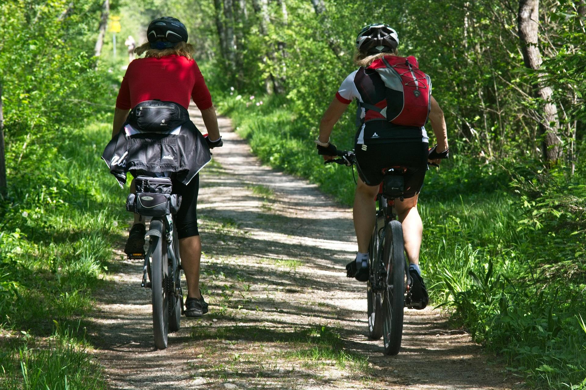
Eight and a half miles between two state parks
The Bluestone Turnpike Trail runs 8.5 miles along the Bluestone River, connecting Pipestem Resort State Park at one end with Bluestone State Park at the other. It follows the line of an old turnpike through the gorge, which is why the grade is what it is.
Point to point, that is a day's walk rather than a project. The trail is rated easy to moderate, and the walking itself is level for the length of it — the old road line stays down at river level the whole way.
The catch sits at the ends. Getting to the river from the Pipestem rim means using connecting trails that drop 500 feet, and that descent is the whole reason a level 8.5-mile walk needs planning at all.
Where the easy-to-moderate rating misleads you
A rating of easy to moderate on a trail in this part of the state does not describe a gentle outing from a parking lot. Here it describes the tread, not the day. The tread is level. The day includes 500 feet of vertical between the rim and the water.
Downhill on the way in, that reads as a bonus. On the way out, with tired legs late in the afternoon, it is the part of the trip people underestimate. If you are carrying a pack, it is the part that argues for carrying less.
Nothing in the record fixes the length of those connectors or their grade beyond the 500-foot figure. Pipestem Resort State Park is the place to ask what the climb actually feels like and how long to allow for it.
Starting at the Farley Loop and River Trail junction
The trail starts at the junction of the Farley Loop and the River Trail, inside Pipestem Resort State Park. That is the anchor point to navigate to, and it puts the descent from the rim in front of you rather than behind you.
The tram from the Pipestem rim runs seasonally. When it is running, a one-way walk out to Bluestone State Park or a return up to the rim becomes a different proposition. When it is not, walking out means the full 500 feet of climb on foot.
The record does not give the tram's operating dates or hours, and a schedule is exactly the kind of thing that changes year to year. Confirm it with Pipestem Resort State Park before you build a one-way plan around it, and have the walking option ready as a fallback.
A protected corridor with no road beside it
The Bluestone National Scenic River protects the corridor this trail follows. That is the reason 8.5 continuous miles of gorge stay undeveloped, and the reason there is no road running alongside you.
For anyone watching wildlife, that continuity is the value: streamside habitat in an unbroken line rather than in fragments between crossings. May is the peak month for birding statewide, and an early start matters here more than usual, because you have to spend the 500 feet of descent before you reach river level and the first hours of song.
The descent itself is worth paying attention to. Dropping from the Pipestem rim to the water takes you through the change from rim forest to river bottom quickly enough that you notice it happening rather than reconstructing it later.
Fishing water the regulations describe better than we can
Every mile of this trail follows the Bluestone River inside a nationally protected corridor, so the fishing access is continuous in a way road-served water rarely is. Access is also on foot only. The trail is the way in, and the connectors from the rim cost 500 feet in each direction.
This site's record says nothing about what is stocked in this stretch or what runs through it, and inventing a species list would be worse than useless to anyone loading a vest. Read current West Virginia Division of Natural Resources regulations for this section of the Bluestone before you go.
Practically, that foot-only access shapes the trip. Carry what you intend to use, and plan your turnaround around the climb rather than around the light.
Running it, and sleeping out on it
Level footing on an old turnpike grade makes this one of the more runnable long trails in the region at 8.5 miles end to end. Runners get a rare thing in this part of the state: sustained distance without sustained climbing. The exception is the connector back to the Pipestem rim, which is 500 feet of climb if the tram is not carrying you.
As an overnight, the mileage is not the point — 8.5 miles between two state parks is walkable in a day. Staying out is about being in the river corridor after the day walkers have gone, not about covering ground.
Where camping is permitted along the way is not something this record settles, and the corridor spans two state parks plus a national scenic river. Confirm the rules with both Pipestem Resort State Park and Bluestone State Park before you plan a night out, and keep the pack light for the climb.
Reach people planning this trip
Placement alongside guides for outfitters, guides, shops and lodging.
List your business hereQuestions
How long is the Bluestone Turnpike Trail?
Is the Bluestone Turnpike Trail hard?
Does the tram at Pipestem run year round?
Can you camp along the Bluestone Turnpike Trail?
Read next
 Destination · New River Gorge
Bluestone National Scenic River: A Complete Guide
How to reach West Virginia's least-visited park unit: the trails down from the rim, the 8.5-mile Turnpike Trail, the fishing and the two paddling reaches.
8 min read · May Destination · New River Gorge
Pipestem Resort State Park: Hiking and Camping
Pipestem's trails all descend: River Trail's 5.25 miles, the Canyon Rim's 500-foot drop, and the 8.5-mile through-hike to Bluestone State Park.
8 min read · September Best of
The Best Hikes in West Virginia
Thirty West Virginia hikes, from 400-foot overlook walks to the Dolly Sods traverse, ordered by effort rather than by fame.
11 min read