
Every organization we link to: local tourism offices, the state and federal agencies that manage the land, the nonprofits and clubs that keep access open, and the universities doing the research.
West Virginia has roughly 1.5 million acres of public land and a handful of places that carry almost all of the attention. The consequence is that a great deal of very good ground sits nearly empty, usually for one of three reasons: nobody has heard of it, the road in is gated or rough, or it is undeveloped and has nothing to advertise. Those are the places below — of them across regions.
Almost Heaven Swings
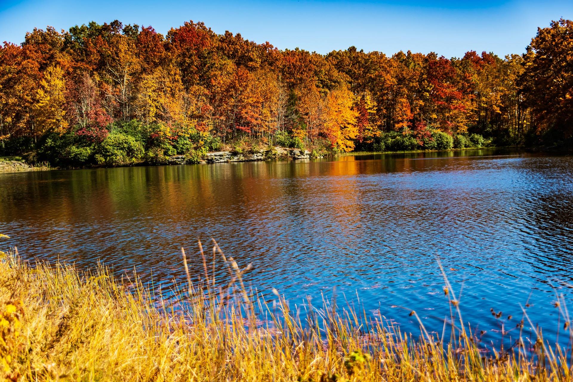
Why every trail here descends
Pipestem Resort State Park covers 4,050 acres on the east rim of the Bluestone River Gorge, and the geography sets the terms for everything you do on foot. The lodges, the golf, the tower and the parking are all up on the rim. The river, the scenic corridor and the long level walking are all down in the canyon. Nothing links the two but trail and an aerial tram, so a hike here is a descent first and a climb second, and the return leg is the one to plan around. State Parks publishes 500-foot drops to reach the canyon and an 8.5-mile through-route out of it.
That shape is unusual for a resort park. The trails are natural surface throughout, they follow the fall line of a steep sandstone gorge, and the ratings State Parks gives them describe the walking rather than the exposure. Rhododendron and mountain laurel thicken as you drop, which is pleasant on trail and close to impassable off it. Wet leaves on switchbacks in autumn are the practical hazard, not the grade itself. Distances here are short and the figures that matter are vertical: 500 feet from the rim down to Heritage Point, 1,100 feet from the rim down to the river where the tram lands. Plan by elevation rather than by mileage and the park makes sense.
River Trail and Farley Loop
The River Trail is the main descent: 5.25 miles, rated moderate to difficult, natural surface, starting behind McKeever Lodge on the rim. It switchbacks down to the Farley Loop junction in the Bluestone gorge, and the park's own description includes river wading, which is worth reading literally — this is not a dry-boot walk in every water level. Done as an out-and-back it is over ten miles with the whole descent to reverse at the end, and there is no water source you should count on partway. The bottom end matters as much as the top: the junction it reaches is where the Bluestone Turnpike Trail begins, which makes the River Trail the walking route into the canyon for anyone doing the through-hike without the tram.
The Farley Loop is 3 miles, rated moderate, and the park calls it its most rugged trail. It starts behind Mountain Creek Lodge down at river level, climbs to the Raven Rock overlook and drops back to the Bluestone. Because Mountain Creek Lodge is tram-access only, the loop is easiest to reach from the top of the tram or off the bottom of the River Trail. It is also the junction where the through-route to Bluestone State Park begins, which makes it the hub of the canyon trail network rather than a side trip.

Canyon Rim Trail and Heritage Point
For a short walk with a real payoff, the Canyon Rim Trail is 0.7 miles and descends 500 feet to Heritage Point, a massive sandstone outcrop standing over the Bluestone River Gorge. State Parks rates it easy to moderate and the surface is natural. The distance makes it sound trivial and the elevation figure is the honest part: 500 feet down in seven-tenths of a mile is a steady grade both ways, and the way back is all of it uphill in one go. Heritage Point itself is a mass of sandstone standing over the Bluestone River Gorge, and the corridor below it is protected as the Bluestone National Scenic River, the least-visited National Park Service unit in West Virginia.
If that climb does not suit, the rim gives up views without it. The Bolar Lookout Tower stands at roughly 3,000 feet above the gorge, with roadside overlooks along the park road, and bald eagles work the canyon below both. This is drive-up viewing of the same landscape the trails descend into, and it is the version to take on a hot September afternoon or with anyone who is not walking far. It is also the fallback when the natural-surface trails are wet and the switchbacks below the rim are greasy, which happens here after any sustained rain.
Walking through to Bluestone State Park
The Bluestone Turnpike Trail is the long day: 8.5 miles along the Bluestone River between Pipestem Resort State Park and Bluestone State Park, following the line of an old turnpike through the gorge, rated easy to moderate on a natural surface. It starts inside the park at the Farley Loop and River Trail junction, which means the 8.5 miles are only the middle of the trip. Getting to that junction costs you the descent, and the corridor it follows is protected as the Bluestone National Scenic River. No camping is published anywhere along the corridor itself, so this is a long day out unless you have a bed at one end of it or the other.
Walked end to end this is a point-to-point between two parks and needs a shuttle. Taken from the Pipestem side with the tram running, the descent is free and the walking is level; with the tram shut, add 500 feet of climb to the end of your day. Bluestone State Park at the far end has 82 campsites with electric available, open spring through fall, which makes an overnight through-hike work in one direction without a second car. That park also connects on foot to the scenic river upstream, so the trail can be walked from the Bluestone end as an out-and-back into the gorge instead.
Camping and lodging at Pipestem Resort State Park
Pipestem is a resort park and the accommodation is built accordingly, but the campground is where the published information runs thin. State Parks does not publish a site count, hookup detail or a season window for camping here — not in the material that covers the rest of the park in detail. Call the park before you build a trip around a tent site, and ask specifically about season dates, because a rim campground in a park whose tram is seasonal may not keep the same calendar as the lodges.
The two lodges are genuinely different propositions. McKeever Lodge sits up on the rim, reachable by car, near the golf and the overlooks. Mountain Creek Lodge is down at the bottom of the canyon and is tram-access only, which is the single most important sentence in any Pipestem booking: if the tram is not running, that lodge is not a place you can drive to. The tram descends 1,100 feet and is the only state park tram in West Virginia. Confirm operating dates before you reserve a river-level room. Each lodge also anchors part of the trail network — the River Trail starts behind McKeever on the rim, the Farley Loop behind Mountain Creek at the bottom.
September here, and what to check first
September is a good month on this rim. The heat breaks, the hardwood on the canyon walls has not turned yet but is close, and the park is one of West Virginia's designated dark-sky observation sites — which is a real distinction in a state made of ridges, and the reason to stay the night rather than drive out after your hike. The lookout tower and the roadside overlooks are the places to use a moonless night. Bald eagles work the canyon below through the day, and the trails are about as good as they get this month: dry enough for the switchbacks, cool enough for the climb back out of them.
Two things to confirm before you leave home: whether the tram is running, and what the campground is actually offering. Everything else here holds year-round — the trails, their ratings, the 500-foot rim drop, the 8.5 miles down the Bluestone. The golf is an 18-hole course plus a par-3 layout, and the par-3 is the one that absorbs a mixed group with a spare afternoon while the walkers are still coming up out of the canyon. Rhododendron along the lower trails stays green all winter, so the canyon never opens up the way the rim does when the leaves come off.
Reach people planning this trip
Placement alongside guides for outfitters, guides, shops and lodging.
List your business hereQuestions
How long is the River Trail at Pipestem?
Is there camping at Pipestem Resort State Park?
Does the Pipestem tram run year-round?
What is the shortest hike with a view at Pipestem?
Can you hike from Pipestem to Bluestone State Park?
What is the most difficult trail in the park?
Read next
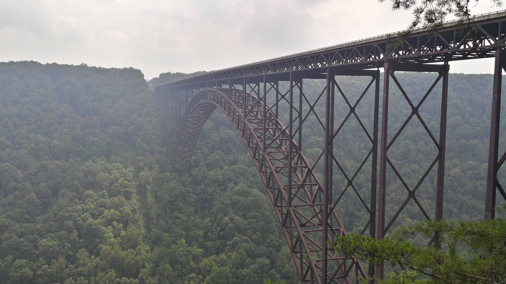 Destination · New River Gorge
Things to Do in New River Gorge National Park
A complete guide to New River Gorge National Park: the best hikes, whitewater, climbing and overlooks, plus where to base yourself and when to come.
12 min read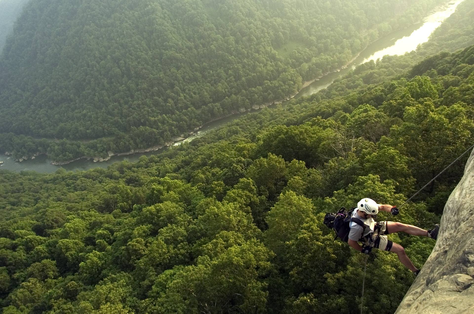 Best of · New River Gorge
The Best Hikes in New River Gorge National Park
Fifteen New River Gorge hikes ranked by what you get for the effort, with NPS distances, parking notes, and the one classic trail that is closed until 2027.
10 min read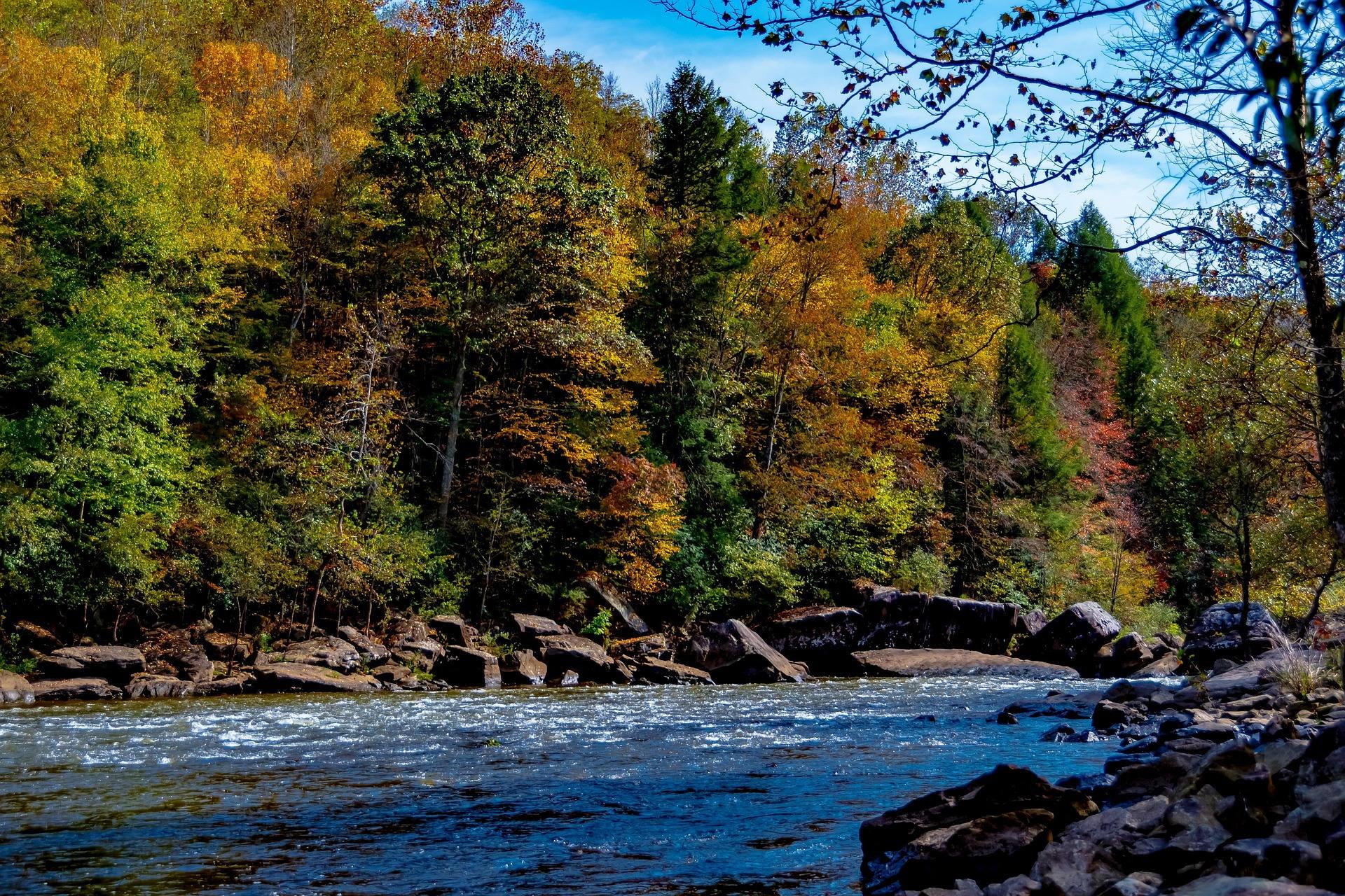 Guide · New River Gorge
Gauley Season: A Complete Guide
Everything to know about Gauley Season in West Virginia: how the dam releases work, Upper versus Lower Gauley, minimum ages, when to book and what to expect.
8 min read · September