
Every organization we link to: local tourism offices, the state and federal agencies that manage the land, the nonprofits and clubs that keep access open, and the universities doing the research.
West Virginia has roughly 1.5 million acres of public land and a handful of places that carry almost all of the attention. The consequence is that a great deal of very good ground sits nearly empty, usually for one of three reasons: nobody has heard of it, the road in is gated or rough, or it is undeveloped and has nothing to advertise. Those are the places below — of them across regions.
Almost Heaven Swings
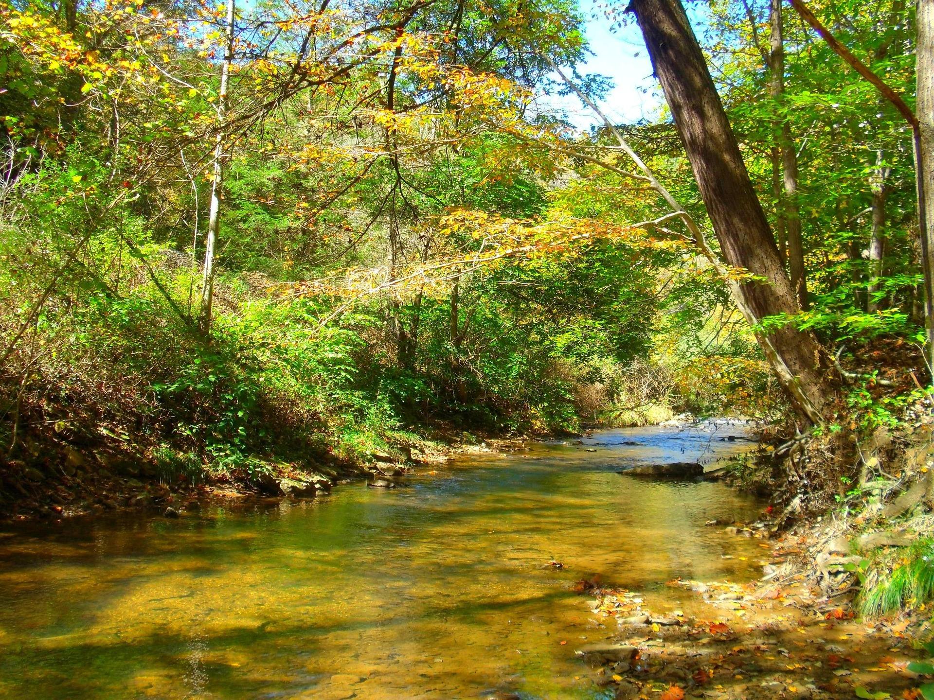
The one paved stretch in these records
Falls of Hills Creek, in the Monongahela National Forest in the Greenbrier Valley, is the only place in these records described as accessible, and the description is narrow. The trail to the upper falls is paved and accessible. The two lower falls are not.
That narrowness is the useful part of it. It tells you exactly where the surface changes, which is more than most West Virginia trail listings will give you at all. The upper falls is a 25-foot drop, the first of the three the trail passes, so the paved section ends at moving water rather than at a viewpoint of something else.
What the record does not give is the length of the paved portion, its grade, or its width. The published round trip of 1.6 miles covers all three waterfalls, not the accessible part alone. Ask the Monongahela National Forest for surface and grade specifics before you commit a wheelchair, a walker or a stroller to it.
Where the pavement ends at Falls of Hills Creek
Past the upper falls the route becomes steep stairs and boardwalk dropping into a shale gorge. Three-quarters of a mile takes in all three waterfalls, with drops of 25, 45 and 63 feet, and the 63-foot lower falls is the second-highest in the state. Everything you descend you climb back.
Shade and constant spray keep the gorge mossy, and ice makes the winter descent dangerous. In practice that puts the lower two falls out of reach for a good part of the year for anyone, which is worth knowing if you are the person waiting at the top.
The layout splits well for a mixed group. One person can stay on pavement at the first waterfall with something real to look at while another goes down the stairs, and nobody is sitting in a parking lot.
Grandview trades distance for a view from the rim
Grandview stands 1,400 feet above a horseshoe bend in the New River with a seven-mile view up the gorge, the widest perspective anywhere in the park. It was a state park before it became a National Park Service unit, and an outdoor drama theatre still operates there in summer.
The accessibility picture here is thinner than at Falls of Hills Creek, and thin in a specific way: the record describes the ground and the routes but says nothing about surfaces. The Grandview Rim Trail runs 1.6 miles along the edge. Turkey Spur Overlook, a short drive past the main lot, is reached by steel stairs up a rock outcrop, so that one is plainly not a step-free option.
No grade, width or surface figure is published for the main overlook area or for the Rim Trail, and this site will not guess at one. Ask New River Gorge National Park what is paved, how far it is from car to railing, and where accessible parking sits.
What the agencies leave unpublished
Between these two places, the published accessibility content amounts to a single sentence about a paved trail to one waterfall. There is no inventory of trail grades, tread widths, surface types, restroom fixtures or parking layouts, and nothing tying fees or permits to accessible access.
That gap matters because accessible is not one standard. A paved path at a two percent grade and a paved path at a ten percent grade get described with the same word in most listings, and the difference decides whether the trip works. Length is the figure everyone publishes and the one that predicts the least.
Two agencies hold the real answers for these two sites. The Monongahela National Forest manages Falls of Hills Creek; the National Park Service manages Grandview. Ask each for numbers rather than adjectives, and ask about the specific segment you intend to use rather than the trail as a whole.
Water level and ice change the calculation
Flow at Falls of Hills Creek is best in spring and after rain, so the paved upper section shows the most water in the same weeks the stairs below are wettest. If the accessible stretch is the whole of your visit, weather is a straightforward gain rather than a tradeoff.
Winter needs more care. Ice makes the descent into the gorge dangerous, and nothing in the record says whether or how the paved section is cleared in cold weather. That is a question for the forest before a January drive, not something to find out at the trailhead.
At Grandview, late May and early June bring the best rhododendron bloom in the state, which is why most people time a visit for then. May is also the published peak month for birding along the rim. Neither fact tells you anything about the walking surface, and neither should be mistaken for that.
Planning a trip from two data points
Two records are not a statewide inventory, and it would be dishonest to present them as one. What they support is a single confident recommendation and one clear warning: the paved trail to the upper falls at Falls of Hills Creek is described as accessible, and everything else here needs a phone call first.
Falls of Hills Creek is in the Greenbrier Valley and Grandview is in the New River Gorge. No drive time between them is published in these records, so work that leg out from a map rather than from anything on this page.
If you are building a wider itinerary, treat published accessibility language as a starting question rather than an answer. Ask the managing agency for grade, surface, distance from parking, and whether the accessible segment is maintained year-round. Those four numbers do more work than any description of scenery.
Reach people planning this trip
Placement alongside guides for outfitters, guides, shops and lodging.
List your business hereQuestions
is falls of hills creek wheelchair accessible?
how long is the trail at falls of hills creek?
is grandview overlook wheelchair accessible?
does west virginia publish accessible trail grades?
Read next
 Best of
The Best Waterfalls in West Virginia
West Virginia's best waterfalls, from Blackwater Falls and Sandstone Falls to the Falls of Hills Creek, with access notes and the right season for full flow.
8 min read · April Best of
West Virginia Overlooks, Sorted by How Far You Walk
Every notable West Virginia overlook sorted by effort: drive-up terraces, 400-foot walks and full-day climbs, with gate hours and current closures.
9 min read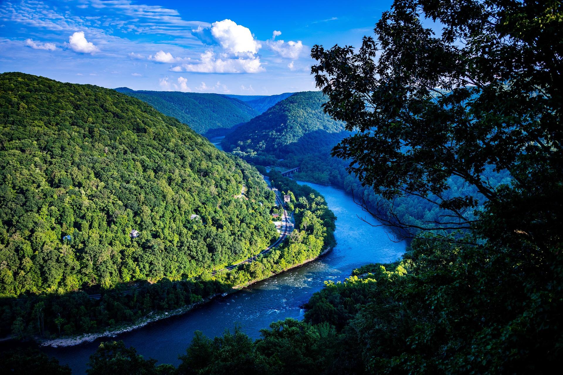 Guide · New River Gorge
Hiking at Grandview in the New River Gorge
The rim trail, Turkey Spur's steel stairs and the late-May rhododendron at Grandview, 1,400 feet above the New River's long horseshoe bend.
7 min read · May