
Every organization we link to: local tourism offices, the state and federal agencies that manage the land, the nonprofits and clubs that keep access open, and the universities doing the research.
West Virginia has roughly 1.5 million acres of public land and a handful of places that carry almost all of the attention. The consequence is that a great deal of very good ground sits nearly empty, usually for one of three reasons: nobody has heard of it, the road in is gated or rough, or it is undeveloped and has nothing to advertise. Those are the places below — of them across regions.
Almost Heaven Swings
Yes across most of the forest, with conditions attached
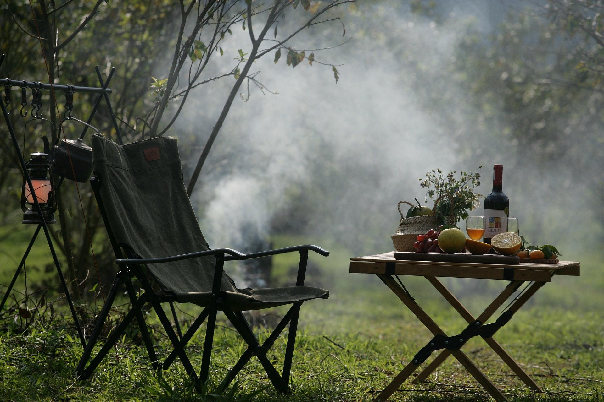
Dispersed backcountry camping is permitted across most of the Monongahela National Forest without a permit. That is the real answer, and it makes the Mon unusually open by eastern standards. No permit is required to hike its trails either.
Three conditions ride along with it. Setback rules apply from roads, trails and water. Stay limits govern how long you can occupy one spot. And most of the forest is not all of it, because closures and forest orders take ground out of play from time to time.
This site does not publish the setback distances or the length of the stay limit, and those are the two numbers worth having before you leave. They sit in current Forest Service rules, and the forest's alerts page carries road closures, fire restrictions and forest orders. One rule needs no checking: dispersed camping is not permitted in state parks.
Wilderness adds rules the rest of the forest does not have
Groups over ten are prohibited in every Monongahela wilderness, and wilderness trails are maintained for foot travel only, with no vehicles and no mechanized access. In Roaring Plains West, removing plants, stone or moss is prohibited outright, which rules out clearing a tent site flat.
There are no numbered sites and nothing signed to steer you back to last night's camp. Pick a spot off the map rather than by hunting for a used clearing near water, and expect to navigate out in the morning the same way you navigated in.
Roaring Plains West, where the gate sets the trip
Roaring Plains West is 6,792 acres of high plateau immediately south of Dolly Sods, rising from 3,000 feet on the southern edge to over 4,700 feet at Mount Porte Crayon. It carries the same bog, heath and wind-flagged spruce as its neighbor with a fraction of the visitors.
The road is why it stays quiet. Forest Road 70 is gated and open only during the autumn hunting season, so most of the year the approach is on foot from Forest Road 19 or Bonner Mountain Road. From Petersburg the route runs WV 28/55 to Jordan Run Road, a mile to FR 19, six miles to FR 75, then a mile to FR 70.
The Forest Service publishes no total trail mileage here and Flatrock Run Trail 519 is the main named route, so build the trip from a topographic map. Forest roads across the Highlands are rough and some close seasonally, with FR 75 to Bear Rocks the notorious one, and current road status is worth checking before committing a low-clearance car to any of them.
Cranberry: 47,815 acres, unblazed by design
Cranberry is the largest wilderness in West Virginia, second-growth northern hardwood and red spruce on the high plateau, with the Cranberry and Williams rivers cutting through it. More than 70 miles of maintained trail cross it without blazes, and Middle Fork at 9 miles and North Fork at 7.5 are the two longest lines through it.
Six trailheads serve it: Big Beechy, North South-East and Forks of Cranberry off the Highland Scenic Highway, North South-West by Cranberry Campground, and Three Forks and County Line on Forest Road 86. Route 150 is not plowed in winter, which closes the highway trailheads for months and pushes cold-season trips onto the Forest Road 86 side.
Carry map, compass and the skills to use them, since junctions are frequently unsigned here and in Dolly Sods and Otter Creek. Cell service is absent across most of the Highlands and restricted by law in the Quiet Zone around Green Bank, so download offline maps before you leave pavement and treat a satellite messenger as ordinary equipment.
Where to put the tent
Camp on durable surfaces: bare rock, established sites, or forest duff well away from wet ground. High-elevation sphagnum bog and heath in Dolly Sods, Cranberry Glades and Canaan Valley take decades to heal from a single season of trampling, and the same communities run across the Roaring Plains plateau.
Use a stove. Most of the Highlands is too wet to burn most of the time, which breeds a complacency that autumn and spring dry spells punish. Where fires are legal, use an existing ring, keep it small and drown it. Leave firewood where you bought it, because hemlock woolly adelgid and emerald ash borer travel in it.
Bears shape the rest of the decision. Black bear density in the Cranberry Wilderness is among the highest in the state, and a canister or a properly executed hang is strongly advised. A canister also solves the problem of finding a suitable tree after dark on ground you have never seen.
Weather, orange and the walk out
Highlands weather is not mid-Atlantic weather. Dolly Sods and Canaan Valley regularly run twenty degrees colder than the valleys, with wind and driving rain in June. Cotton, wind and a long exit are the combination that puts people in trouble up there, so carry insulation and a shell whatever the forecast says at the trailhead.
Autumn is peak hiking season and peak hunting season at once, and the single window when FR 70 opens is that hunting season. Wear blaze orange from October through January on any public land outside state parks, and put orange on the dog.
Rescue here means volunteer squads, long carry-outs and no helicopter option under a canopy. Tell someone your plan and your return time. Plan fuel deliberately in Pocahontas, Randolph, Pendleton and Webster counties, where long stretches have nothing and what exists may close early, and carry more water and food than the day requires.
Reach people planning this trip
Placement alongside guides for outfitters, guides, shops and lodging.
List your business hereQuestions
Do you need a permit for dispersed camping in the Monongahela National Forest?
Can you camp literally anywhere on the Monongahela?
How far from a trail or water do you have to camp?
Can you drive into Roaring Plains West?
Read next
 Destination · Potomac Highlands
Hiking Dolly Sods
A practical guide to hiking Dolly Sods Wilderness: the main trails, route options, why it is navigationally serious, and how to reach Bear Rocks.
9 min read Guide · Potomac Highlands
Backpacking the Otter Creek Wilderness
20,698 acres, 45 miles of unmarked trail and repeated unbridged crossings: how to plan an Otter Creek trip around the water rather than the mileage.
7 min read · June Guide · Greenbrier Valley
The Highland Scenic Highway: Driving and Hiking
A 43-mile byway above 4,500 feet: four overlooks, the Cranberry Glades boardwalk, the Falls of Hills Creek, and the trailheads that close all winter.
7 min read · October