
Every organization we link to: local tourism offices, the state and federal agencies that manage the land, the nonprofits and clubs that keep access open, and the universities doing the research.
West Virginia has roughly 1.5 million acres of public land and a handful of places that carry almost all of the attention. The consequence is that a great deal of very good ground sits nearly empty, usually for one of three reasons: nobody has heard of it, the road in is gated or rough, or it is undeveloped and has nothing to advertise. Those are the places below — of them across regions.
Almost Heaven Swings
What Otter Creek Wilderness backpacking involves
Otter Creek Wilderness backpacking means 20,698 acres across Tucker and Randolph counties, 45 miles of trail, and a valley you walk up rather than a ridge you walk along. The wilderness lies in a bowl between Shavers Mountain and McGowan Mountain, drained by Otter Creek, and the Forest Service gives its range as 1,800 feet at the mouth of the creek to 3,900 feet on McGowan Mountain. That spread is the entire vertical budget of the place. Most of the walking happens well below the top of it, on the valley floor, following water rather than climbing away from it.
The character is dense second-growth forest: moss, rhododendron tunnels, hemlock shade and one crossing of the creek after another. This is not the open country people picture when they think of high West Virginia. Where the plateau wildernesses to the east are exposed heath and bog with long sightlines, Otter Creek is enclosed and green and wet, and you can finish a full day here having seen very little sky. It also sees fewer people than Dolly Sods for the same amount of effort, which is the trade the place offers and the reason regulars keep coming back to it.
The crossings decide the trip
The Forest Service states plainly that few bridges are provided at creek crossings and that streams may be impassable in high water. On the valley-bottom route that means crossing Otter Creek repeatedly, and it means a trip that can be shut down mid-route by rain that fell the night before you arrived. Plan a second option before you leave the house: a ridge route, a shorter out-and-back on one side of the creek, or a different weekend entirely. Turning around at a swollen ford a few miles in is a normal outcome here rather than a failure of preparation.
Even at ordinary levels this is not a dry-boot trip. Expect wet feet all day and pack accordingly, because the crossings come frequently enough that taking boots off for each one costs more time than it saves. Water is abundant in the Highlands but tannic, so filter it and expect it to come out of the bottle the color of tea. In June the variable is thunderstorms rather than snowmelt, and a look at the river gauges on the way out of town will tell you more about how the day is going to go than a general forecast does.

Unmarked, by design
The trails here are unmarked, with the occasional rock cairn and nothing else, and that is deliberate: wilderness areas in this system are not signed or blazed on purpose. Carry a map and compass and know how to use both, and treat a GPS as the backup rather than the plan. Monongahela National Forest trails are lightly blazed even outside the wilderness boundaries, so this is a difference of degree rather than of kind — but the degree matters a great deal when the tread disappears under leaves, standing water or a summer's growth.
Losing the tread is expensive in this particular forest, because rhododendron and mountain laurel make off-trail travel genuinely difficult; you do not simply cut across to where you meant to be. The main valley route, Otter Creek Trail, follows an old railroad grade, which is what keeps the walking reasonable, and the grade is often easier to pick out than the footpath running on it. The Forest Service publishes no separate length for that trail, only the 45-mile figure for the wilderness as a whole, and no elevation gain for it beyond the wilderness range.
Getting in
Access is through the Cheat–Potomac Ranger District at Parsons, on forest roads rather than highways. Allow more time for the approach than the mileage suggests, and ask the district about road conditions instead of assuming that a line on a map is currently drivable. No fee or reservation figures are published for the wilderness, and dispersed camping is permitted across much of the Monongahela National Forest, so the planning problem here is water, navigation and weather rather than paperwork. Parsons is the last town on the way in, which makes it the place to settle the plan.
From the south, the Pointy Knob Trail (FT 139) gives a ridge approach into the wilderness, 5.4 miles from a trailhead near the wilderness boundary. The Forest Service publishes that mileage and nothing else for it — no elevation gain, no difficulty rating, no surface description — which is typical of the trail records for this wilderness and is itself a piece of information about how the place is managed. A ridge entry is also the sensible fallback on a weekend when the creek is up, since it keeps you out of the bottom where the fords are.
Camping, water and the season
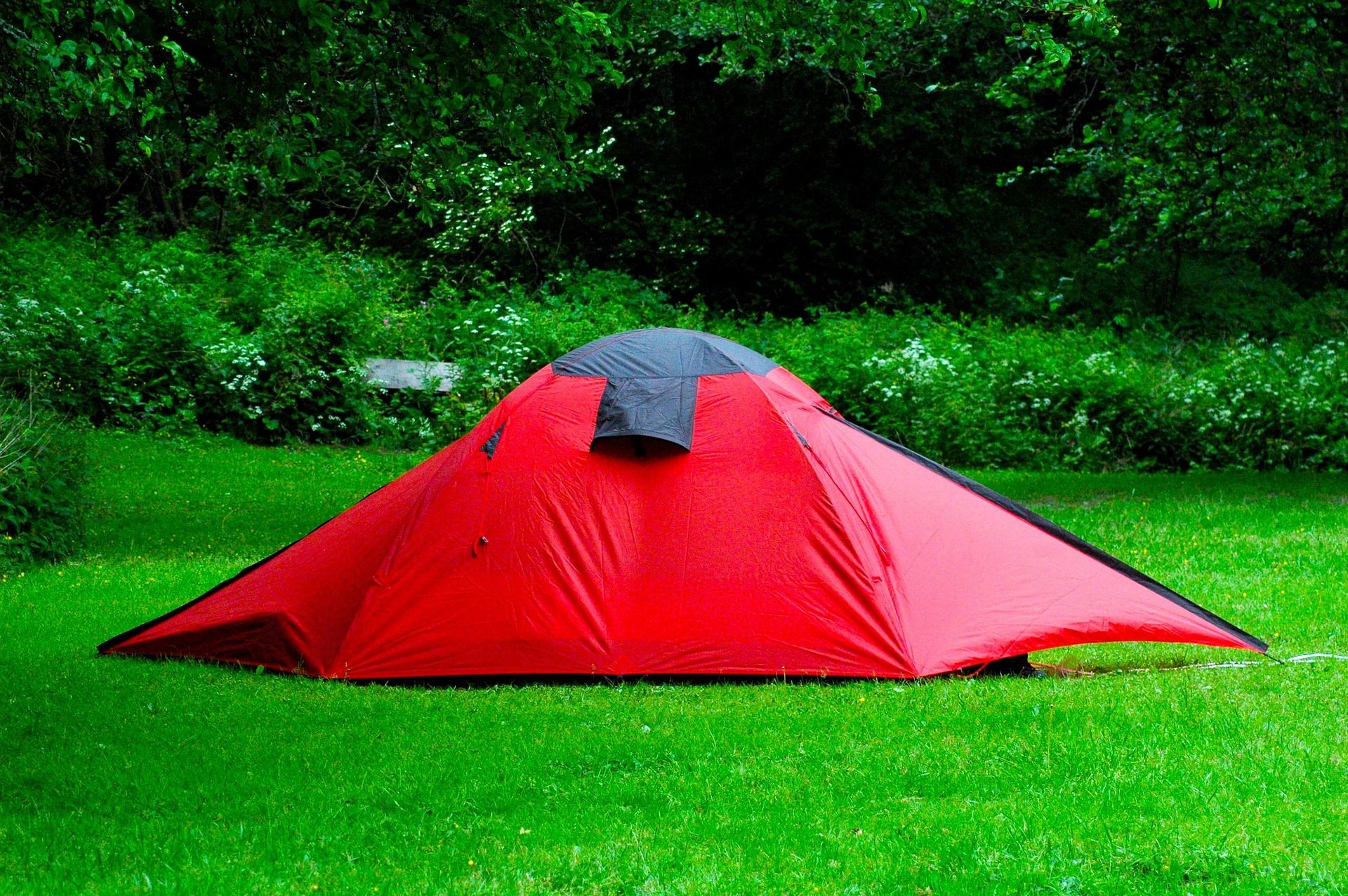
Dispersed camping is permitted across much of the Monongahela National Forest, and primitive camping is the only kind on offer inside Otter Creek: no published sites, no tent pads, no taps. Pick ground that is already durable and set back from the creek, which is easier said than done in a valley where most of the flat ground is close to water. Fires, food storage and site selection are the usual wilderness decisions, and nothing about this terrain makes them easier — the wood is often wet and the flat spots are often the ones everyone else also found.
The backpacking season in this region runs April through November, and the region's backpacking is rated intermediate to advanced, a rating that in Otter Creek's case is about navigation and water rather than about climbing. June puts the forest at its greenest, the insects at their most attentive and the tread at its least distinct, because summer growth closes over an unmarked path quickly. Hunting is among the uses of this wilderness, which matters more in October and November than it does in June, but it belongs in the plan either way.
Stuart Recreation Area, before and after
Stuart Recreation Area is the practical front and back end of Otter Creek Wilderness backpacking: a Civilian Conservation Corps site built in the 1930s on the Shavers Fork, with a campground, picnic shelters and river access, close enough to Elkins that resupply is not an expedition. It is the standard basecamp for the central part of the national forest and for the Otter Creek and Cheat Mountain country, which is a polite way of saying it is where you sleep the night before you walk in and the night after you come back out.
It is also the honest answer to a creek running too high. If the fords are out, the Shavers Fork is right there — trout upstream and smallmouth lower down — and a car-camp weekend on the river beats a forced crossing by a wide margin. The fishing season in this region runs March through November, so a rod in the vehicle covers the trip that does not happen. The recreation area takes RVs as well as tents and has swimming holes on the river, which makes it workable for a group where not everyone is walking into the wilderness.
Reach people planning this trip
Placement alongside guides for outfitters, guides, shops and lodging.
List your business hereQuestions
How big is the Otter Creek Wilderness, and how much trail is there?
Are the trails marked?
Are the creek crossings bridged?
How long is the Otter Creek Trail?
When is the backpacking season?
Where can I camp the night before?
Read next
 Destination · Potomac Highlands
Hiking Dolly Sods
A practical guide to hiking Dolly Sods Wilderness: the main trails, route options, why it is navigationally serious, and how to reach Bear Rocks.
9 min read Destination · Potomac Highlands
Things to Do in Davis and Thomas, West Virginia
A guide to Davis and Thomas, West Virginia: Blackwater Falls, Dolly Sods access, Canaan Valley skiing and two of the best small towns in Appalachia.
8 min read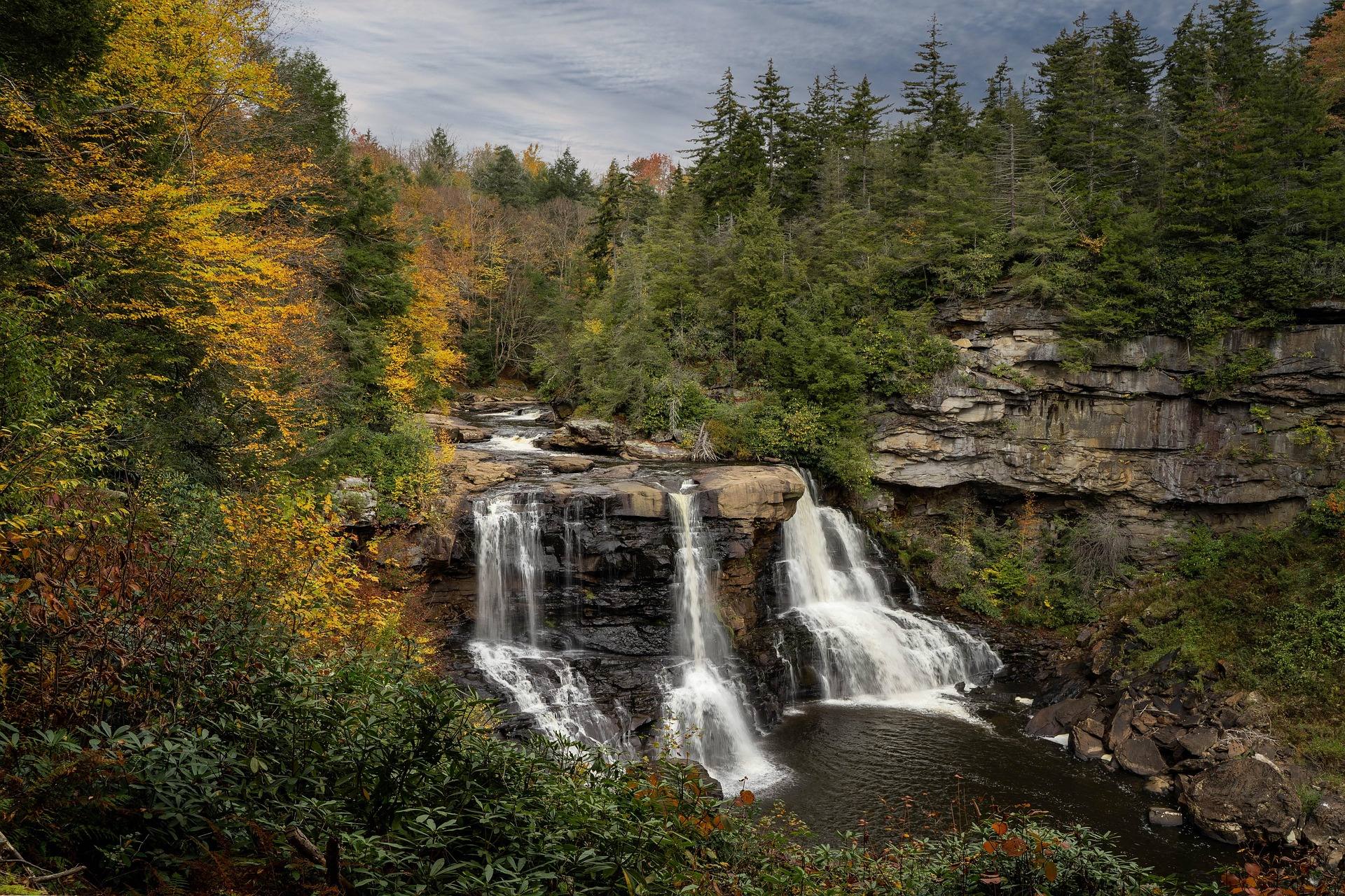 Destination · Potomac Highlands
Blackwater Falls State Park
A complete guide to Blackwater Falls State Park: every waterfall and overlook, Lindy Point at sunset, the trails, lodging and the best season to visit.
8 min read · October