
Every organization we link to: local tourism offices, the state and federal agencies that manage the land, the nonprofits and clubs that keep access open, and the universities doing the research.
West Virginia has roughly 1.5 million acres of public land and a handful of places that carry almost all of the attention. The consequence is that a great deal of very good ground sits nearly empty, usually for one of three reasons: nobody has heard of it, the road in is gated or rough, or it is undeveloped and has nothing to advertise. Those are the places below — of them across regions.
Almost Heaven Swings
What the rock is and where it sits
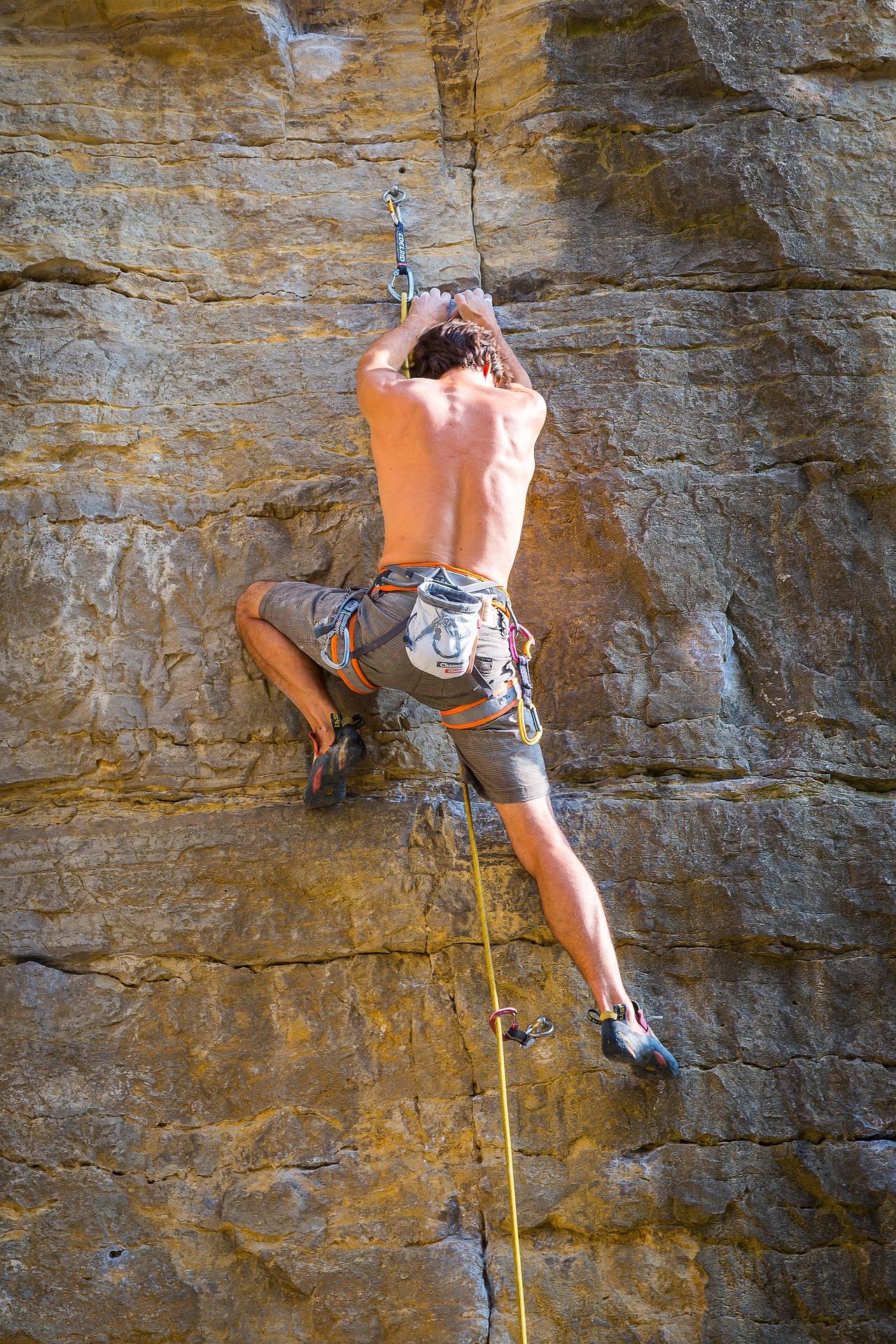
Coopers Rock bouldering happens inside a 12,747-acre state forest on the rim above the Cheat River Canyon, minutes from Morgantown and off I-68. The rock is sandstone, and the concentration is what makes the place: the Rock City and Roadside areas below and around the rim hold several hundred established problems, the largest concentration in West Virginia and the state's best-known boulder field. The blocks sit in mature forest rather than on an open talus slope, which shapes almost everything about climbing here — the shade, the moss, the drying time after rain, and the fact that you are walking between problems under a canopy instead of scrambling across bare rock in the sun.
The scale is worth stating plainly, because photographs flatten it. The forest's stone overlook stands about 1,200 feet above the river, so the boulder fields are perched near the top of a substantial gorge, not down at water level. That elevation is why the air moves and why the friction gets good when the weather turns. It is also why the approach is a walk rather than a roadside step out of the car for most of the better blocks, even though the forest is easy to reach and the drive in from the interstate is short.
Rock City, Roadside and Haystack
Rock City and Haystack hold the concentrated bouldering. Rock City is a mile through a boulder labyrinth reached from Picnic Shelter #3, and the state forest lists the Rock City Trail as 1 mile and Easy. It does not publish an elevation gain for it and does not publish a surface, so plan for whatever mature Appalachian forest floor gives you: rock, root and leaf litter, wet in places. The character of the area is passages and crevices between house-sized blocks rather than a viewpoint, which is exactly what makes it good for climbing and mildly disorienting for first-time visitors.
The Roadside area is the other half of the established terrain, sitting below and around the rim along with Rock City. Between the two, the published count of problems is given only as several hundred, or simply hundreds. Neither number is broken out by area, and the managing agency does not publish grades, problem names or topos for any of it. That is a real gap for anyone trying to plan a session in advance, and it is the reason the climbing community's own database matters more here than the forest's own pages.
Why Coopers Rock bouldering is a cold-weather sport
The published season for bouldering in West Virginia runs September through May, and Coopers Rock is a clear case of why. Cold, dry autumn and winter days give the best friction. Summer here is humid and green — the forest holds moisture, the rock stays greasy, and the same problem that felt reasonable in November will not go in July. That inverts the usual planning instinct. The busy months for the forest as a whole are the warm ones, and the good months for the boulders are the ones when the parking areas thin out.
September is the front edge of it. Early autumn brings the first genuinely dry, cool days, and the hardwood forest has not yet dropped its leaves onto the landings. Later in the season the leaf cover is the thing to manage, since it hides holds, hides ankle-turning rock under your pads and takes longer to dry out than the boulders do. Winter sessions are the friction payoff, with short daylight as the trade. The season is rated for all levels, so the constraint is the weather and the walk in, not the difficulty of finding something to try.
The gate closes at 5 p.m.
This is the single most useful piece of logistics for a climbing day here, and it is easy to miss. The forest gate closes at 5 p.m. That rules out most summer evening sessions outright, and in the short days of the good season it means your climbing window ends well before you would normally pack up at a boulder field. Build the day around a morning or early afternoon start, and count the walk out from Rock City in your timing rather than discovering it at dusk with pads on your back.
One more access note worth knowing before you arrive: the main overlook is closed for bridge replacement. It is normally a two-minute walk from parking and crowded, so its closure changes the mix of people in the forest and where they park. If someone in your group is not climbing, the Ravens Rock Trail is 1.5 miles to a cliff edge above the canyon and is the view to walk to while the overlook is shut — the trail sign may read Ravens Rock. That is a rest-day errand, not part of the bouldering day.
What the forest publishes, and what it does not
The state forest publishes the acreage, the trail mileages, the trailheads and the fact that the boulder fields exist. It does not publish a route inventory. There is no agency grade list, no problem count by area beyond several hundred, and no topo. Coopers Rock bouldering runs on community information rather than agency information: Mountain Project is the working route database for problems and topos, and here that is not a convenience but the actual source — if you show up without having looked at it, you will spend your session finding blocks instead of climbing them. Print or download what you need before you leave the interstate, since a forest on a canyon rim is not a reliable place to load a page.
Bring your own everything else, too. Nothing in the forest's published information describes climbing infrastructure of any kind: no gear, no rentals, no posted landing conditions. Pads, a brush and a partner who has been there before are the standard kit. Water and a fixed plan for where you are meeting people are worth sorting out at the car, since the labyrinth terrain that makes Rock City interesting also makes it a poor place to find a friend who wandered off. The same goes for the walk out: the way in through the blocks is not obviously the way back, and leaf cover in late season hides the line you took.
Where else in the state there are boulders
Coopers Rock is the best known, not the only one. The New River Gorge, Summersville and the Meadow all hold developed and developing boulders, which matters for two reasons: it gives you a plan when the northern forest is wet or the gate hours do not fit your drive, and it means a West Virginia bouldering trip does not have to be a single-venue trip. Those areas are far enough south to be a separate day rather than an afternoon alternative, so treat them as a different trip rather than a backup within one.
Within the region itself, the forest that holds the boulders also carries a trail network used for hiking, running, mountain biking and cross-country skiing, so a group that splits its interests can share the same parking lot. The other things worth knowing for a full day are all short: the Virgin Hemlock Trail is 1.2 miles through a grove over 300 years old, and Ken's Run, at 4.5 miles, is the longest single trail in the forest. Both stay open through the cold months that the climbing wants, which makes them the obvious use for the hour after the pads go back in the car and before the gate shuts at five.
Reach people planning this trip
Placement alongside guides for outfitters, guides, shops and lodging.
List your business hereQuestions
When is the best time for bouldering at Coopers Rock?
How many boulder problems are at Coopers Rock?
How do you get to the Rock City boulders?
What time does Coopers Rock State Forest close?
Is there a guidebook or topo for Coopers Rock?
Where else can you boulder in West Virginia?
Read next
 Best of · Mountaineer Country
The Best Hikes at Coopers Rock State Forest
All six Coopers Rock trails with the state's own mileages and ratings, where each one starts, and which walk replaces the closed overlook.
8 min read · October
Destination · Mountaineer Country
Things to Do Outdoors in Morgantown, West Virginia
A survey of what a Morgantown base actually reaches: 48 miles of rail-trail, a 12,747-acre forest, Cheat Lake, new singletrack and the Cheat itself.
9 min read Guide · Mountaineer Country
The Mon River Rail-Trail System: A Complete Guide
How three trails make 48 miles of crushed limestone: the Caperton riverfront, the run north to Pennsylvania, and the 19-mile Deckers Creek climb.
8 min read · May