
Every organization we link to: local tourism offices, the state and federal agencies that manage the land, the nonprofits and clubs that keep access open, and the universities doing the research.
West Virginia has roughly 1.5 million acres of public land and a handful of places that carry almost all of the attention. The consequence is that a great deal of very good ground sits nearly empty, usually for one of three reasons: nobody has heard of it, the road in is gated or rough, or it is undeveloped and has nothing to advertise. Those are the places below — of them across regions.
Almost Heaven Swings
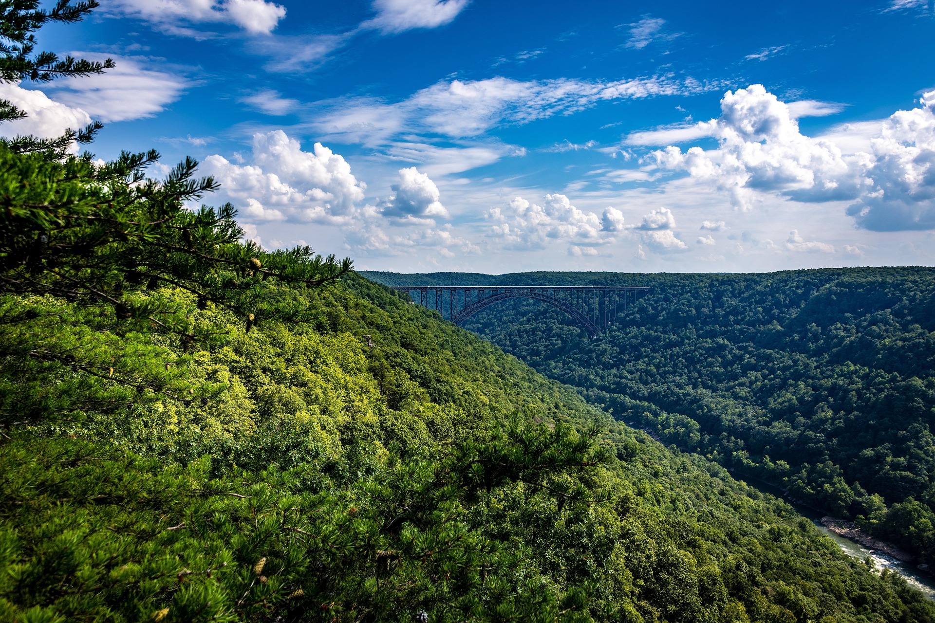
Two units, 11,839 acres, 18.5 miles of trail
Laurel Fork is two adjacent wilderness units, North and South, and together they come to 11,839 acres along the Laurel Fork valley. There are 18.5 miles of trail across the pair, most of it in the valley bottom rather than on the ridges above.
That is a small enough system to hold in your head and a large enough one to fill a weekend without much repetition. Beaver meadow, spruce and an open stream corridor sit alongside each other for the length of the valley.
The record does not break the 18.5 miles down by unit or by named trail, and it names no loops. Get the current Monongahela National Forest map and ask the district office what is signed before you plan a route that depends on a particular junction being there.
Old railroad grades, not climbing
Most trails here follow old railroad grades, which makes the walking gentler than the Sods. That is the standard Potomac Highlands comparison and a fair one: grade is not what will tire you out in this valley.
Water is. The trails follow the valley bottom with repeated stream crossings, and repeated means what it says. Expect to be in the creek and out of it many times over a day rather than once or twice at a bridge.
Footwear that drains, and a plan for keeping a sleeping bag dry, matter more here than a light pack does. No crossing count and no water depths appear in the record, and both change with the season and with the week's rain.
Beaver are rearranging the place
Beaver built the meadows that give this valley its character, and their work still floods sections of trail on a regular basis. This is not a maintenance backlog. It is resident engineering, and it will outlast any trail crew.
There are two consequences for a trip. One is route finding: a flooded grade means a detour through wet ground or brush, and the tread may not be where the map puts it. The other is camping, because the water that takes out trail also takes out much of the flat ground beside the stream.
Scout a site well before dark rather than walking until you are tired and then starting to look. The record names no particular flooded stretches, and there is no reason to expect this year's to be last year's.
Forest Road 14 is the way in
Access is Forest Road 14. From the north you come in off US 33 and Middle Mountain; from the south, off WV 28 east of Bartow.
Beyond those two routes the record is quiet. No drive times, no trailhead mileages, and nothing on what season the road is maintained in. Ask the Monongahela National Forest district office about road status before a shoulder-season trip, and do not assume a gravel forest road is passable because it appears on a map.
Camping, dispersed and otherwise
Very low visitation, even on holiday weekends, is the argument for sleeping here rather than somewhere with a named view. The valley stays quiet in a way that most recognized Potomac Highlands destinations do not.
Two things the record does establish about camping: stock animals are prohibited at Laurel Fork Campground, and beaver flooding limits the usable flat ground along the stream. What it does not establish is the dispersed camping rules for the wilderness units, or the campground's site count, fees or open season.
Both of those belong to the Forest Service district office. Ask before you leave rather than hoping to read a rule off a trailhead sign you have not seen.
Native and wild trout in a beaver-worked stream
Laurel Fork holds native and wild trout, and the beaver meadows strung along it produce the slow, structured, worked-over water those fish use. Fishing and walking end up as one activity here, since the trail crosses the stream over and over.
No stocking, fish sizes or special regulations for this water appear in the record. Check WVDNR's current regulations for Laurel Fork before you fish, including anything that applies specifically to wild trout water.
What low visitation is actually worth
Across 11,839 acres, very little use means very little pressure on anything living there. Moving slowly along the valley bottom early or late is the entire technique for seeing something.
For birding, the arrangement of beaver meadow against spruce against open stream corridor packs a lot of habitat edge into a short walk. No species list for Laurel Fork appears in this record, so treat that as your own list to build. The 18.5 miles of gentle valley trail suit covering ground slowly and listening.
The trade for all of it is the flooding and the crossings. That is why the valley stays empty on weekends when other trailheads are full, and it is the honest reason to come here instead.
Reach people planning this trip
Placement alongside guides for outfitters, guides, shops and lodging.
List your business hereQuestions
How many miles of trail are in Laurel Fork Wilderness?
How do you get to Laurel Fork Wilderness?
Can you camp anywhere in Laurel Fork Wilderness?
Is Laurel Fork easier than Dolly Sods for backpacking?
Read next
 Guide · Potomac Highlands
Backpacking the Otter Creek Wilderness
20,698 acres, 45 miles of unmarked trail and repeated unbridged crossings: how to plan an Otter Creek trip around the water rather than the mileage.
7 min read · June Destination · Potomac Highlands
Hiking Dolly Sods
A practical guide to hiking Dolly Sods Wilderness: the main trails, route options, why it is navigationally serious, and how to reach Bear Rocks.
9 min read Itinerary · Potomac Highlands
Three Days in the Potomac Highlands
A three-day Potomac Highlands itinerary: Blackwater Falls, Dolly Sods, Seneca Rocks and Spruce Knob, with realistic driving and the forest roads to respect.
8 min read