
Every organization we link to: local tourism offices, the state and federal agencies that manage the land, the nonprofits and clubs that keep access open, and the universities doing the research.
West Virginia has roughly 1.5 million acres of public land and a handful of places that carry almost all of the attention. The consequence is that a great deal of very good ground sits nearly empty, usually for one of three reasons: nobody has heard of it, the road in is gated or rough, or it is undeveloped and has nothing to advertise. Those are the places below — of them across regions.
Almost Heaven Swings
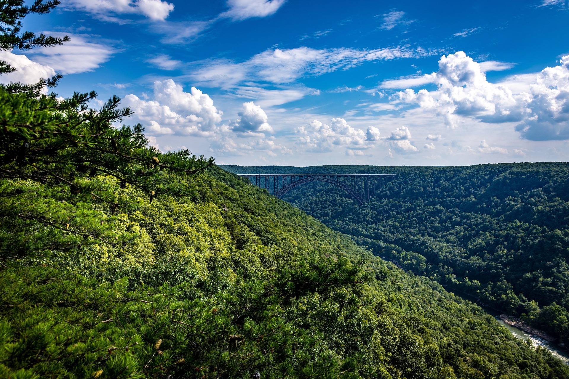
Four acres where two rivers meet
Tu-Endie-Wei is the smallest park in the West Virginia system at four acres, and the number is the point rather than a shortcoming. It occupies the tip of land in Point Pleasant where the Kanawha River empties into the Ohio, which is a piece of ground no larger park could claim.
The park is day use only. What it contains is riverfront to walk, a monument, and the Mansion House museum. That is a short list, and it means the visit is measured in an hour or two rather than a day.
Confluence views of two major rivers are the published draw. Standing at the junction of the Kanawha and the Ohio gives you moving water on two sides and a working river corridor in both directions, which is a different kind of West Virginia scenery than the state is usually sold on.
The 1774 battle the park marks
The park exists to mark the Battle of Point Pleasant, fought in 1774 at this confluence. A monument stands on the grounds, and the site itself is the primary artifact — the ground where the rivers meet has not moved.
This record does not carry a narrative of the battle, a casualty figure, or an account of who commanded which side. If the history is why you are coming, expect the interpretation to happen on site and in the museum rather than in advance from park literature.
Reading the terrain is part of it. A river junction was a strategic position long before it was a park, and four acres is enough to see why: two navigable corridors converge, and whoever held the point controlled both approaches.
The Mansion House museum and the floodwall murals
The Mansion House museum sits inside the park. No admission price, opening season or hours appear in this record, and because the park is day use only, anything at the edges of the day is likely outside the gate. Contact West Virginia State Parks before planning around the interior.
Immediately next door, the Point Pleasant floodwall murals adjoin the park. They are not park property, but they are close enough that most visits take in both without a second stop, and they extend a four-acre visit into something closer to an afternoon in town.
Between the monument, the museum and the murals, the built subjects here outnumber the natural ones. That is unusual for a state park and worth knowing if you were expecting trails.
Photography at a river junction
The confluence is the subject. Two large rivers converging gives you water in the foreground and open sky above it, with a monument and the museum as the fixed structures to compose against. Four acres means you can work every angle available in a short walk.
Day-use hours shape the shooting plan more than anything else. Neither the true edge of dawn nor full dusk is reliably available to you, so build around light on the water in the hours the park is open. Confirm those hours before you commit to a session.
The floodwall murals next door give a second, entirely different subject within a block — painted wall rather than moving water. Between the two, a Point Pleasant stop holds more material than the park's acreage suggests.
Birding a confluence with no habitat depth
A junction of two large rivers concentrates anything that travels along water, and this park hands you a bank to stand on directly at the junction. For a birder passing through the Ohio valley, that is a genuinely useful vantage.
There is no habitat to work beyond it. Four acres of riverfront, a monument, a museum and the murals adjoining — no woodland edge, no wetland, no trail system to walk a transect on. Treat it as a scope-from-one-spot stop rather than a morning's coverage.
The day-use restriction cuts into the best hour. First light may fall before the park opens, which for river birding is the hour that matters most. No species list is published for the site, so bring your own expectations and check hours with the state park system first.
Running from the park, not in it
Four acres will not hold a run, but they make a sensible start and finish. The park sits on the Point Pleasant riverfront at the confluence, adjoining the floodwall murals, so the mileage has to come from the town's riverfront rather than from anything inside the boundary.
This record does not describe a measured riverfront route, a distance, or a surface. If you want a known loop, that question goes to the city of Point Pleasant rather than to the park. Day-use hours again apply if you intend to park inside and check them before an early or late outing.
In regional terms, this is the far northwestern corner of Metro Valley, the Kanawha and Guyandotte valleys around Charleston and Huntington where most of the state's population lives. Recreation in that region runs on restored urban rivers — the Coal River Group maintains an 88-mile water trail on the Coal system, and the Guyandotte Water Trail Alliance is developing a comparable one. Tu-Endie-Wei is the historical anchor at the end of that river country rather than a day's outdoor objective on its own.
Reach people planning this trip
Placement alongside guides for outfitters, guides, shops and lodging.
List your business hereQuestions
how big is tu-endie-wei state park?
what are the hours at tu-endie-wei state park?
what happened at point pleasant in 1774?
is there camping or hiking at tu-endie-wei?
Read next
Destination · Metro Valley
Things to Do Outdoors in Huntington, West Virginia
Lakes, forests and in-town green space around Huntington: Beech Fork, East Lynn, Cabwaylingo and the greenway, with what each is best for.
7 min read Destination · Metro Valley
Things to Do Outdoors in Charleston, West Virginia
The forest, rivers, riverfront and fishing water within reach of Charleston, and what each one is actually good for.
6 min read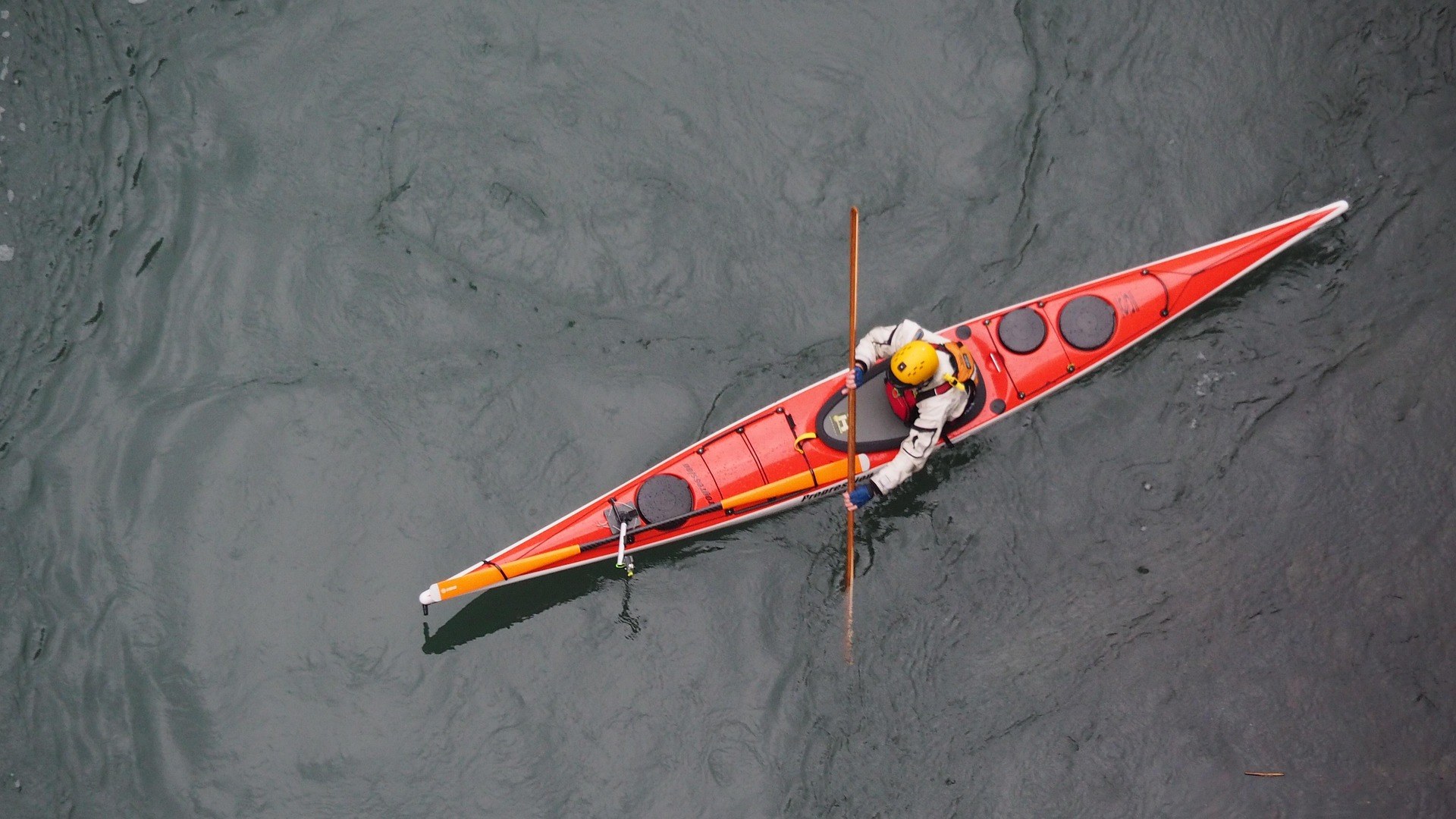 Guide · Metro Valley
Paddling the Coal River Water Trail
How the 88-mile Coal River Water Trail fits together branch by branch, which reach to paddle first, what the rentals are, and when the water drops.
6 min read · June