
Every organization we link to: local tourism offices, the state and federal agencies that manage the land, the nonprofits and clubs that keep access open, and the universities doing the research.
West Virginia has roughly 1.5 million acres of public land and a handful of places that carry almost all of the attention. The consequence is that a great deal of very good ground sits nearly empty, usually for one of three reasons: nobody has heard of it, the road in is gated or rough, or it is undeveloped and has nothing to advertise. Those are the places below — of them across regions.
Almost Heaven Swings
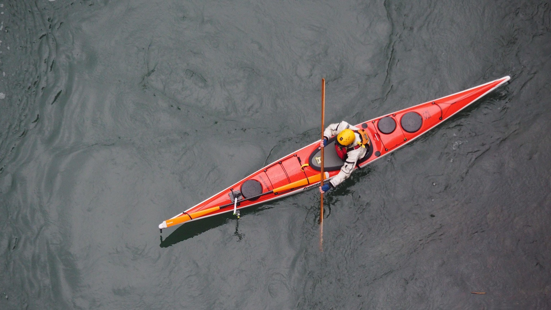
What the Coal River Water Trail covers
The Coal River Water Trail is 88 miles of organized paddling water on three connected rivers: the Big Coal, the Little Coal and the main-stem Coal, all of it south of Charleston. It is rated Class I, and what makes it a water trail rather than simply a river is the infrastructure — maintained access points, mapped mileages and signage, all of it the product of sustained work by the Coal River Group. Warm, slow water with good smallmouth and catfish is the honest description of the paddling itself, and it is a fair description of a river that was written off for decades.
Statewide this is the reference case. The Coal River Group has one of the most developed access networks in West Virginia, and water trail development here has expanded significantly over the past decade — the Cheat, Coal, Elk, Guyandotte and Upper Monongahela all now carry organized trails maintained by local watershed organizations. The Coal is the one where the access is furthest along, which is the practical reason to start here rather than on a river where you are guessing at the takeout. The state's water trails are pitched at beginner to intermediate paddlers, and this one earns that rating.
How the three branches fit together
The system is a branch structure rather than a single line: the Big Coal and the Little Coal come together, and the main-stem Coal carries the combined water on down past Tornado and St. Albans. That matters for trip planning because a shuttle on a branched system is not symmetrical. The put-in and the takeout have to sit on the same thread of water, and a first-time visitor reading the 88-mile figure can easily sketch a float across a confluence without meaning to, then find the shuttle car parked on a different river than the one they are floating.
The trail record gives 88 miles for the system as a whole and does not break that figure down by branch, so anyone wanting reach-by-reach mileages needs the group's own maps. The Coal River Group publishes the most current access maps, and that is the document to plan from rather than any secondhand list. Access points get added, rebuilt and occasionally closed on a trail this actively maintained, and the maps are where those changes show up first. Calling ahead also gets you the current state of the water, which no map can carry.
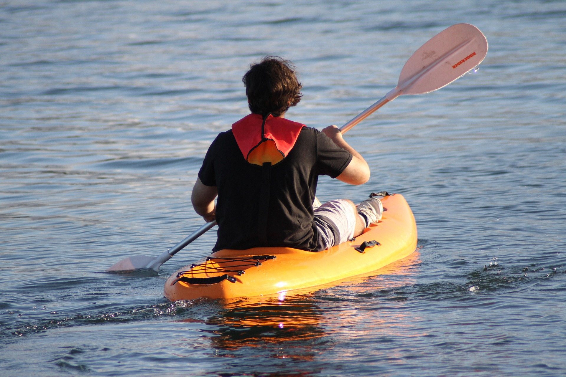
The Big Coal and the Little Coal
The two upper branches are the quieter half of the system and the half that gets described least. Both are warm, slow, Class I water like the rest of the trail, running through narrow valley bottom rather than open country, with the road never especially far away. Because no per-branch mileage is published in the trail record, the sensible approach on either one is to pick two mapped access points and float between them rather than to decide on a distance first and then hunt for a takeout that matches it from the county road.
These are also the reaches where the summer level problem shows up first. Levels drop in late summer across the system, though most sections stay floatable, and a shallow upper branch in August is where floatable turns into dragging a loaded boat over gravel. Paddle the branches earlier in the season and save the main stem for the low-water weeks. Local knowledge is worth having here, and the water trail group is the best source for hazard and cleanup information on any given reach — strainers and deadfall move around on slow rivers between seasons.
The main stem: Tornado to St. Albans
The meander through Tornado and St. Albans is the most-used section of the Coal River Water Trail, and it is the right first trip. It is the family float river closest to Charleston, with the marked trail, the cleaned-up access points and a volunteer group that rents boats on it. The water is Class I, the current is slow, and the reach sees enough use that the access is obvious rather than something you have to find from the road with a map on the dashboard. This is the best of the metro-area floats if you want a river day without leaving the Kanawha Valley.
The rental season on this float runs May through September, and the boats are canoes and kayaks — paddle craft only, no tubes. That is the single most common wrong assumption about this river, and it is worth correcting before someone drives out with an inner tube in the trunk expecting a tubing outfitter. Season dates also shift year to year, so confirm the current window with the Coal River Group rather than working from a date you read somewhere. Being the busiest reach, it is also the one where a weekday trip feels appreciably different from a Saturday.
Season, levels and June
The water trail season here runs April through October, which fits the Coal exactly. June is close to the ideal month on this system: the rental season is open, the water has not yet dropped the way it does in late summer, and the valley bottom the trail runs through is fully leafed out. Spring melt raises rivers everywhere in West Virginia, so an early-season trip can find more water and more push than the Class I rating leads a first-timer to expect — an April float and a June float on the same reach are not the same day out.
By August the calculation reverses. Most sections stay floatable, but the shallow reaches get bony and a trip that worked in June turns into more walking than paddling. Autumn floats after the rental season closes are possible with your own boat inside the April to October trail season, and hardwood color over slow water is a reasonable argument for going late. Whatever the month, check levels and hazards with the group before committing to a shuttle, because a shuttle is the part of the day that is hardest to change once you are standing at the put-in.
Fishing the trail, and a day off the water
This is a fishing river as much as a paddling one. The water is warm and slow with good smallmouth and catfish, and kayak fishing is one of the activities the trail is explicitly used for. Fishing in West Virginia runs year-round and WVDNR administers licensing and regulations, so a license is the first thing to sort out; the trout stamp requirement does not apply here, since this is warm water rather than stocked trout water. The advantage of fishing a mapped trail is that you can plan a slow day instead of a float — two close access points, fish the reach between them, take out before the light goes.
The trail also sits close enough to Charleston that a paddling weekend does not have to be only paddling. Kanawha State Forest is 9,300 acres of steep wooded hollow seven miles from downtown, with a trail network, a mountain bike system, a campground and some of the best spring warbler birding in the state — a straightforward second day for a group that has already done its float. Stewardship is the other half of what the Coal River Group does, and the access you launch from exists because volunteers built it and keep it clear.
Reach people planning this trip
Placement alongside guides for outfitters, guides, shops and lodging.
List your business hereQuestions
How long is the Coal River Water Trail?
How difficult is the Coal River to paddle?
Can you tube the Coal River?
What is the best section for a first trip?
When is the paddling season on the Coal River?
Does the river get too low to float?
Read next
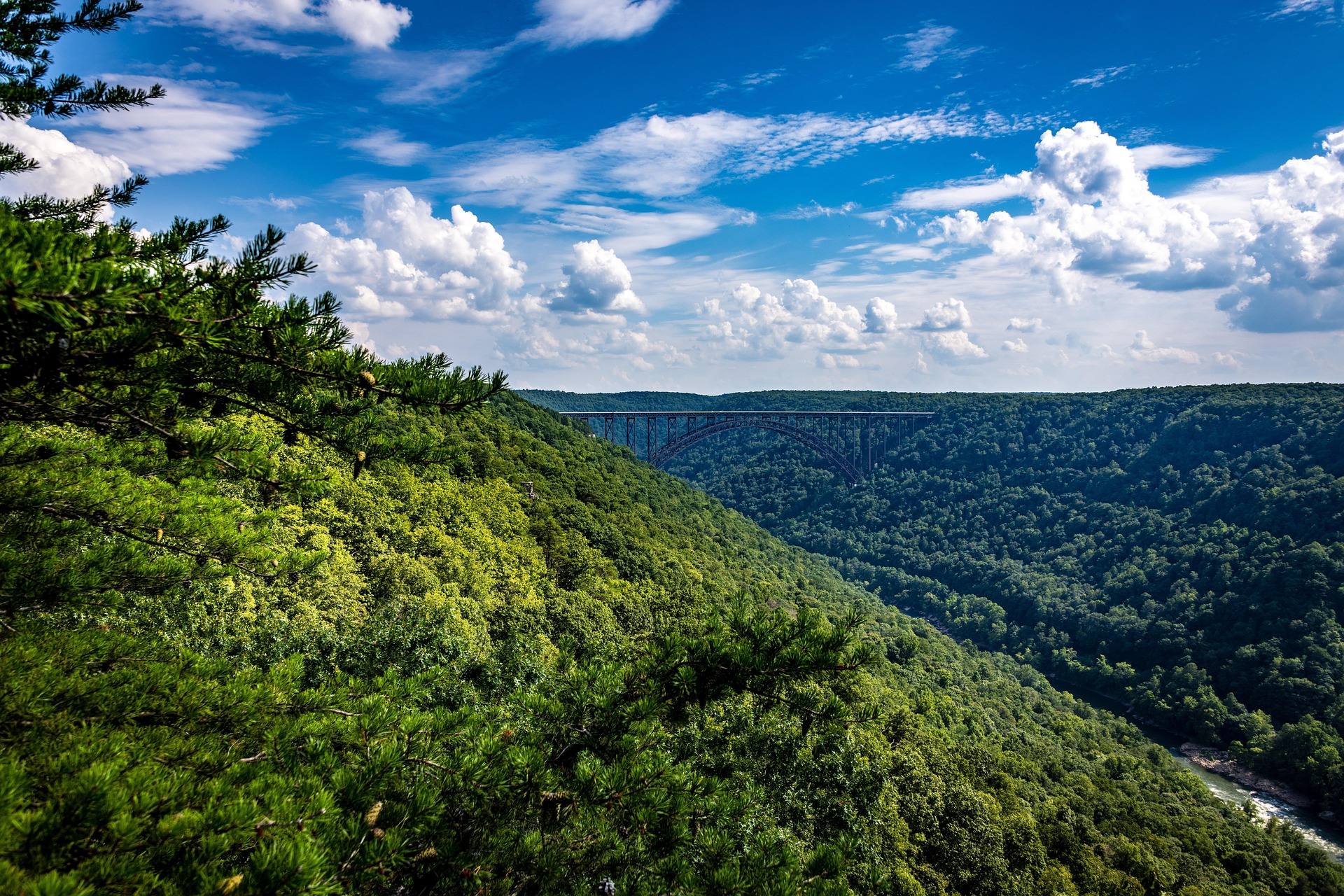 Best of · Metro Valley
The Best Hikes in Kanawha State Forest
Five Kanawha State Forest trails fifteen minutes from downtown Charleston: the mileages, the grades, which allow bikes and where each one starts.
7 min read · May Destination · Metro Valley
Things to Do Outdoors in Charleston, West Virginia
The forest, rivers, riverfront and fishing water within reach of Charleston, and what each one is actually good for.
6 min read
Destination · Metro Valley
Things to Do Outdoors in Huntington, West Virginia
Lakes, forests and in-town green space around Huntington: Beech Fork, East Lynn, Cabwaylingo and the greenway, with what each is best for.
7 min read