
Every organization we link to: local tourism offices, the state and federal agencies that manage the land, the nonprofits and clubs that keep access open, and the universities doing the research.
West Virginia has roughly 1.5 million acres of public land and a handful of places that carry almost all of the attention. The consequence is that a great deal of very good ground sits nearly empty, usually for one of three reasons: nobody has heard of it, the road in is gated or rough, or it is undeveloped and has nothing to advertise. Those are the places below — of them across regions.
Almost Heaven Swings
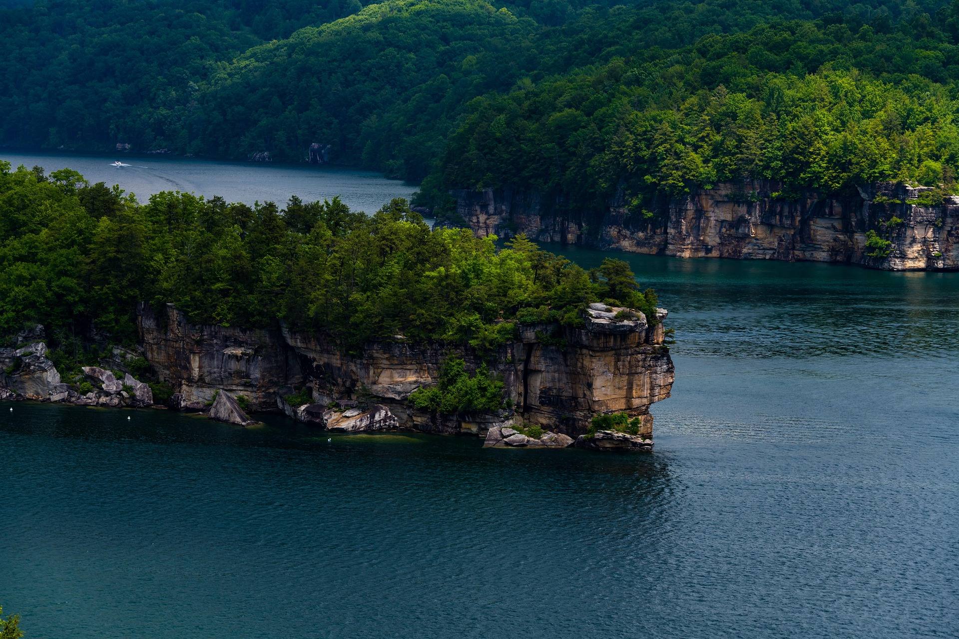
Clarity is the reason to choose this lake
Summersville Lake is West Virginia's largest lake and by a wide margin its clearest: 2,700 acres of blue-green water in a sandstone basin. Clarity is best in early summer, before algae. That is the window the record names, and it lines up with the season when going high, going underground or getting wet is the sensible plan anyway, because everything below 2,500 feet in this state turns humid and hot in July and August.
The lake already carries scuba diving, paddleboarding and boating, which tells you how it swims. Clear water over rock does not have the stained, soft-bottomed feel of a lowland reservoir, and a Corps reservoir holds usable water when the rivers are too low or too high.
What the record does not publish is a designated swimming area, a buoy line, a lifeguard schedule or a posted rule for any particular cove. Confirm current swimming rules with the US Army Corps of Engineers at lrh.usace.army.mil, which manages the reservoir, and with Summersville Lake State Park on the north shore.
Boat traffic decides where you get in
This is the largest lake in the state and it carries unlimited horsepower, with no-wake and restricted zones layered over it. Horsepower limits vary lake to lake in West Virginia, and here the limit is effectively the zoning rather than the engine. Get in where boats are excluded rather than where the bank happens to look inviting.
Finding those zone boundaries is a before-you-launch task. The Corps is the source, and it also publishes the current reservoir level. If you are swimming off a boat, pick your hours: motor traffic peaks when everyone else has the same idea about a summer afternoon.
What it costs to reach the water
West Virginia charges no entrance fee at any of its 35 state parks or 9 state forests, a policy set in state code, so day use at Summersville Lake State Park on the north shore costs nothing. Fees in the state park system apply only to specific services: camping, cabins, lodge rooms, pools, golf and equipment rental.
Federal access works differently. Corps of Engineers day-use areas are among the federal sites that do sometimes charge a modest fee at the gate or by envelope, and the America the Beautiful pass covers federal day-use fees where they apply. If you are heading for a Corps area rather than the state park, budget for that possibility.
Depth, cold water and inspecting from the bank
Maximum depth is 327 feet. You will not be swimming over the deepest part from shore, but a basin that deep stays cold below the surface and drops off quickly. No water temperature figures are published for any month, so do not plan around an assumed one.
The standing safety rule for West Virginia water applies here: never swim in water you have not inspected from the bank. Nothing on the record establishes safe water depth for jumping anywhere on this lake, and the drawdown changes what sits under the surface, so treat that as unknown rather than assumed.
Clear water also distorts distance. A cliff face or a boat that looks close across transparent water is usually farther than it reads. Swim within range of something you can hold onto and treat any long crossing as the serious swim it is.
Life jackets and the rules for anything you float on
A life jacket is required to be aboard for every person on any vessel in West Virginia, and that includes kayaks, canoes and paddleboards. If you are paddling out to swim off a board, the jacket comes with you rather than staying in the car.
Motorboats must be registered, and operators born on or after December 31, 1986 need a boater education certificate. On a lake with unlimited horsepower outside the marked zones, those are not formalities. This water is also the state's standout paddleboard water, which is the neatest solution to the traffic problem: a board lets you swim away from the lanes instead of negotiating with them from shore.
The autumn drawdown, and a contradiction on the record
Each autumn the reservoir is drawn down, and the effect on swimming is large. The drawdown exposes beaches that do not exist in June, moves the shoreline and the launches, and changes the base of the cliffs. The ramp you swam from in early summer can be dry ground in October.
This site's records give two different reasons for it. One says the lake is lowered each September to feed Gauley releases; another says the reservoir is drawn down each autumn for flood storage. We are not going to pick between the stated purposes. Both fall in the same window, and Gauley Season is roughly six weekends of scheduled dam releases beginning the Friday after Labor Day.
The Huntington District of the Army Corps of Engineers publishes both reservoir levels and the Gauley release schedule, so it is the authority on why the pool drops and how far. For a swimmer the practical point survives the disagreement intact: check the level before driving out from September onward, and expect the shoreline you remember to have moved.
Camping on the lake, and two booking systems
Battle Run is the Corps campground on the lake. Summersville Lake State Park opened on 177 acres of the north shore with three campgrounds of its own: Overlook, Deer Run and Joe Branch. Between them, those are the shore-based footholds the record names.
They book through different systems, which is worth sorting out before you start hunting for a site. Corps of Engineers campgrounds reserve on Recreation.gov, while state park and state forest campgrounds reserve through the West Virginia State Parks system, generally up to a year in advance. Dispersed camping is not permitted in state parks, so a night here means a reserved site.
The shoreline cliffs at Long Point, Pirates Cove and Whippoorwill hold lakeside sport climbing and deep-water soloing, and access to some walls is by boat only. Climbing at the major areas needs no permit, but access is not uniform and some crags close seasonally for raptor nesting or by landowner request, with the New River Alliance of Climbers database as the authoritative source. The season runs roughly March through November, and none of it is beginner rock.
Reach people planning this trip
Placement alongside guides for outfitters, guides, shops and lodging.
List your business hereQuestions
Can you swim in Summersville Lake?
Is there an entrance fee at Summersville Lake?
How deep is Summersville Lake?
Do you need a life jacket to paddleboard on Summersville Lake?
Read next
Destination · New River Gorge
Summersville Lake
A guide to Summersville Lake: the clearest water in West Virginia, cliff jumping, scuba, deep-water soloing, boating and the Gauley connection.
7 min read · July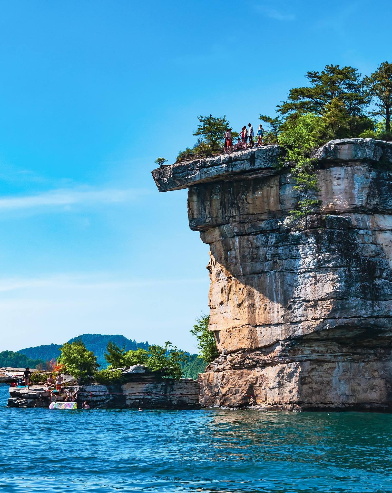 Best of
The Best Swimming Holes in West Virginia
West Virginia swimming holes and lake beaches, from Summersville Lake to CCC-built Blue Bend, with notes on the cliff-jumping risks.
7 min read · July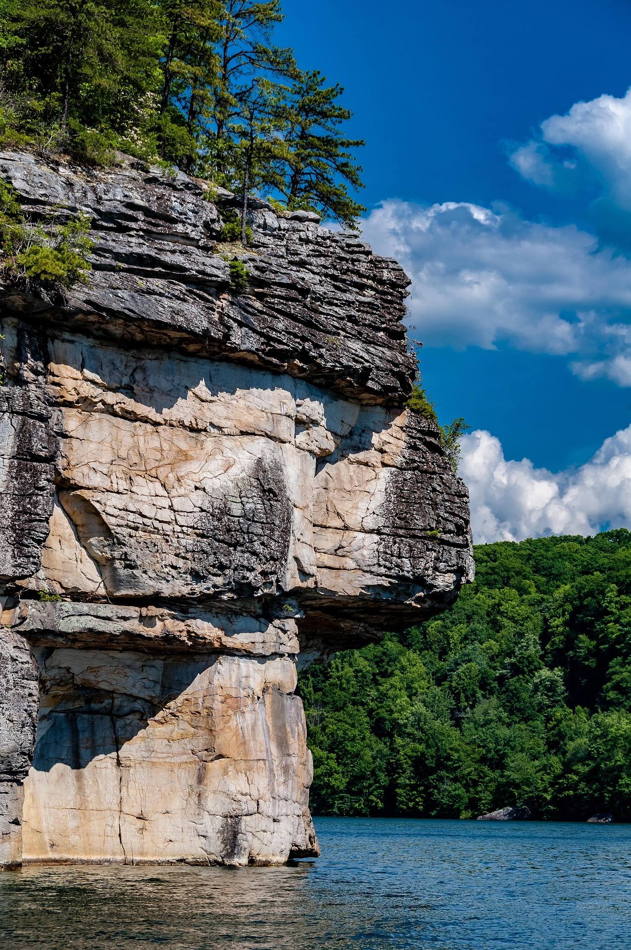 Guide · New River Gorge
Rock Climbing at Summersville Lake
Lakeside sport climbing and deep-water soloing at Summersville Lake: the walls, boat-only access, the autumn drawdown and when the rock is dry.
8 min read · August