
Every organization we link to: local tourism offices, the state and federal agencies that manage the land, the nonprofits and clubs that keep access open, and the universities doing the research.
West Virginia has roughly 1.5 million acres of public land and a handful of places that carry almost all of the attention. The consequence is that a great deal of very good ground sits nearly empty, usually for one of three reasons: nobody has heard of it, the road in is gated or rough, or it is undeveloped and has nothing to advertise. Those are the places below — of them across regions.
Almost Heaven Swings
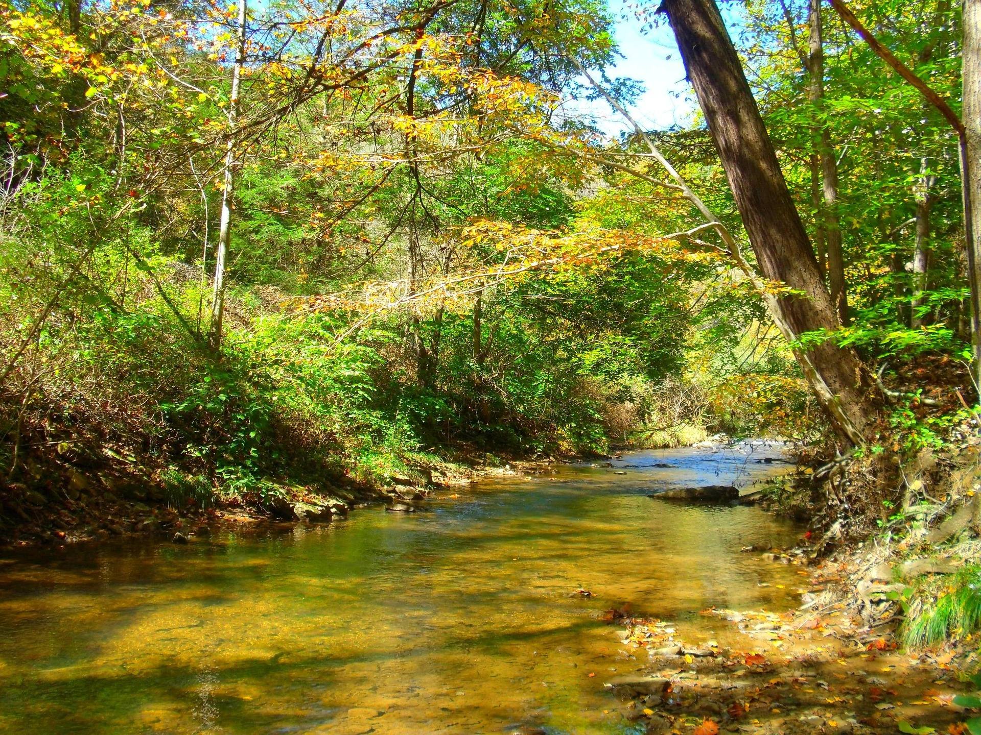
What is published, and what a through-walk actually rests on
Otter Creek Wilderness covers 20,698 acres of dense second-growth forest in a bowl between Shavers Mountain and McGowan Mountain, drained by Otter Creek. The wilderness holds 45 miles of trail. That 45 miles is a system figure, not a length for the Otter Creek Trail itself, and no separate mileage for the single named trail along the creek is published. If you need an end-to-end distance to plan around, get it from the Monongahela National Forest rather than from a number you have inferred.
What the record does give is the shape of the ground. Elevation runs from 1,800 feet at the mouth of Otter Creek to 3,900 feet on McGowan Mountain, so a route that follows the creek and one that climbs out of the bowl are two very different days. No difficulty rating, trailhead layout, parking count or shuttle arrangement appears in the record either. That silence is worth stating plainly: this is a federal wilderness, and the forest is the authority on what is signed and how far it is.
The crossings decide the day
Crossings of Otter Creek are unbridged, and there are many of them. Expect wet feet all day; this is not a trip you finish in dry boots, and footwear chosen on the assumption that you will stay dry is the wrong footwear.
The more serious point is that high water can make the crossings impassable. That is a route problem rather than a comfort problem, because the crossings are also your way back out. Have a plan B before you start, and know where you would turn around rather than improvise a ford.
Check flows first. USGS publishes real-time gauge data for West Virginia streams, and Highlands levels change within hours of rain. March and April are the state's high-water season, which is exactly when a route built on repeated fords needs the most scrutiny.
Unmarked by design, not by neglect
Trails here are unmarked, with the occasional rock cairn. Federal wilderness trails in West Virginia are deliberately unblazed and junctions are frequently unsigned. That is policy rather than oversight.
So carry a map and a compass, and be able to use them. Otter Creek sits alongside Dolly Sods and Cranberry on the short list of places where that skill is not optional. Cell service is absent across most of the Highlands: download offline maps before you leave pavement, and a satellite messenger is not overkill here.
Dense second-growth makes this harder than open country would. You do not get the long sightlines that let you self-correct on a barrens plateau; you get trees, and a creek that is sometimes the only reliable landmark.
Two thousand feet of relief and what grows in it
Relief in the bowl runs from 1,800 feet at the creek mouth to 3,900 feet on McGowan Mountain, which means a full traverse passes through more than one forest band. For birders that is the practical appeal: you hear different things at different heights, and May is the peak month statewide for warblers on territory.
What you see on the ground is moss, rhododendron tunnels and deep woods rather than views. Otter Creek is wetter, greener and more enclosed than Dolly Sods a few ridges east — where the Sods are open and exposed, this is forest that closes over the trail. Anyone coming for a panorama has picked the wrong wilderness.
The payoff is stated bluntly in the record: Otter Creek sees less traffic than Dolly Sods for the same amount of effort. On autumn weekends that difference is worth more than it sounds.
Camping under wilderness rules
Backcountry camping here operates under wilderness rules: distance requirements from trails and water, no facilities of any kind, and everything packed out. Dispersed camping across most of the Monongahela needs no permit but is subject to setback and stay limits, and the wilderness setbacks are the ones that bind here.
Across 20,698 acres and 45 miles of trail, with less traffic than the Sods draw, finding a site is not the hard part. Choosing well is. Camp above the creek rather than beside it, because levels move with rain and those crossings are your exit. Use a stove: most of the Highlands is too wet to burn most of the time, which breeds complacency, and dry spells change that quickly.
Fishing and hunting the same ground
Since you will be crossing the creek repeatedly anyway, wading and fishing amount to one trip rather than two. March through November is the window given for this water. Reaching the less-pressured stretches means walking unmarked trail with map and compass, and high water shuts the crossings down, so check flows before committing to a long day upstream. A fishing license is required from age 15, with a trout stamp on stocked waters; WVDNR posts stocking daily and publishes the special-regulation rules.
For hunters, nearly 21,000 acres that see less use than Dolly Sods for the same effort matters more in season than at any other time of year. Access is entirely on foot, over unmarked trail, across unbridged crossings, which makes getting an animal out a real planning problem. September through February is the general frame; confirm current WVDNR seasons and any wilderness-specific rules before you go.
Weather, timing and the exit
Highlands weather runs colder than the valleys, with wind and driving rain possible in June. Cotton, wind and a long walk out are how people get into trouble up here, so carry insulation and a shell whatever the forecast said at your car. Hypothermia is a year-round consideration here.
Ticks are active in any month above freezing and West Virginia has high rates of Lyme disease, so treat clothing with permethrin and check thoroughly afterward. Timber rattlesnake and northern copperhead both occur statewide, and rhododendron thickets are where you meet them — step onto logs rather than over them.
Autumn is peak hiking season and peak hunting season at once, so wear blaze orange from October through January. Plan too for the fact that rescue here often means volunteer squads and a long carry with no helicopter option under canopy. Tell someone your route and your return time before you leave the road.
Reach people planning this trip
Placement alongside guides for outfitters, guides, shops and lodging.
List your business hereQuestions
How long is the Otter Creek Trail?
Are there bridges over Otter Creek?
Is the Otter Creek Trail marked?
How does Otter Creek compare to Dolly Sods?
Read next
 Guide · Potomac Highlands
Backpacking the Otter Creek Wilderness
20,698 acres, 45 miles of unmarked trail and repeated unbridged crossings: how to plan an Otter Creek trip around the water rather than the mileage.
7 min read · June Destination · Potomac Highlands
Hiking Dolly Sods
A practical guide to hiking Dolly Sods Wilderness: the main trails, route options, why it is navigationally serious, and how to reach Bear Rocks.
9 min read Destination · Potomac Highlands
Things to Do Outdoors in Elkins, West Virginia
Stuart Recreation Area, Otter Creek, Kumbrabow, Laurel Fork and a two-mile tube float on the Cheat headwaters — what the country around Elkins offers.
7 min read